 |
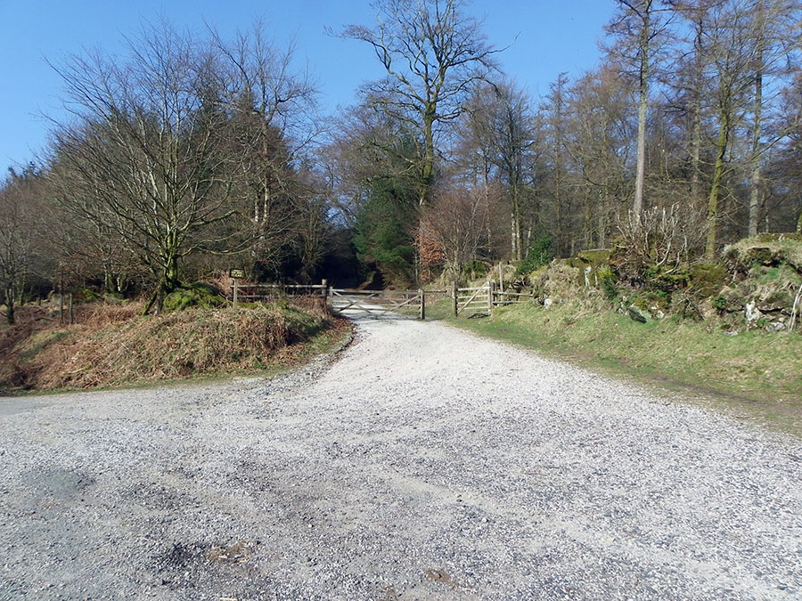
The parking area in Fernworthy Forest at SX 659839. The path to the moor starts at the gate. There's about a mile of woodland track before we get to the moor.
|
 |
A path through the Fernworthy forest. SX 646843 |
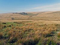 |
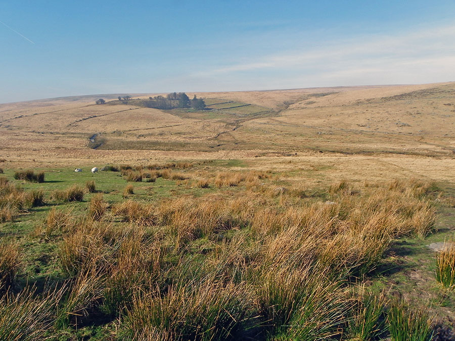
View towards the ruins of Teignhead Farm from the periphery of Fernworthy Forest at SX 641843
|
 |
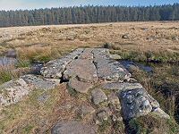
The clapper bridge across the Teign. Part of Fernworthy Forest lies behind.
|
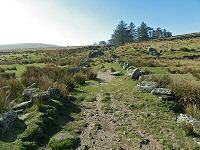 |
The track that leads up to the ruins of Teignhead Farm. 70 years ago mail would be delivered by horseback along this track! Teignhead Farm was originally built in 1780. Hemery writes that in the 1890's the farmer would sometimes go into Princetown for a drink. When he emerged from the Railway Inn (the worse for wear) then he'd be helped into his pony and trap which would then deliver him safely back to the farmhouse. Travelling badgered in the dark in a pony and trap over 6 miles of moorland shows committment and trust.
|
 |
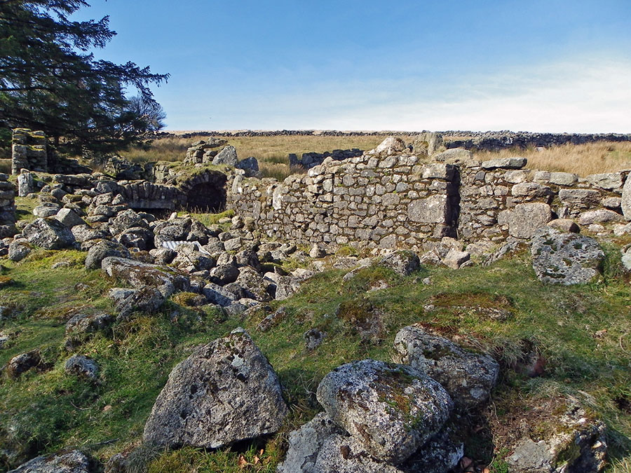
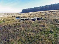
The ruined walls of Teignhead farm. This was a working farm before the Second World War. However, during the war the land was requisitioned by the military and it consequently failed to restablish itself as a farm. In the early 1970's it began to fall into disrepair and so the Duchy was obliged to demolish most of the structure.
|
 |
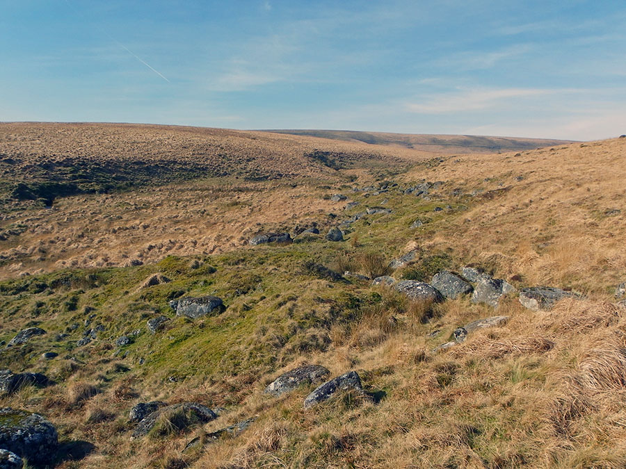
The stream of Great Varracombe. Hemery suggests that Varracombe could stem from the Celtic Vwr Cwm - or Great Valley. The head of Great Varracombe (which lies below Whitehorse Hill) is certainly a big combe.
|
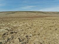 |
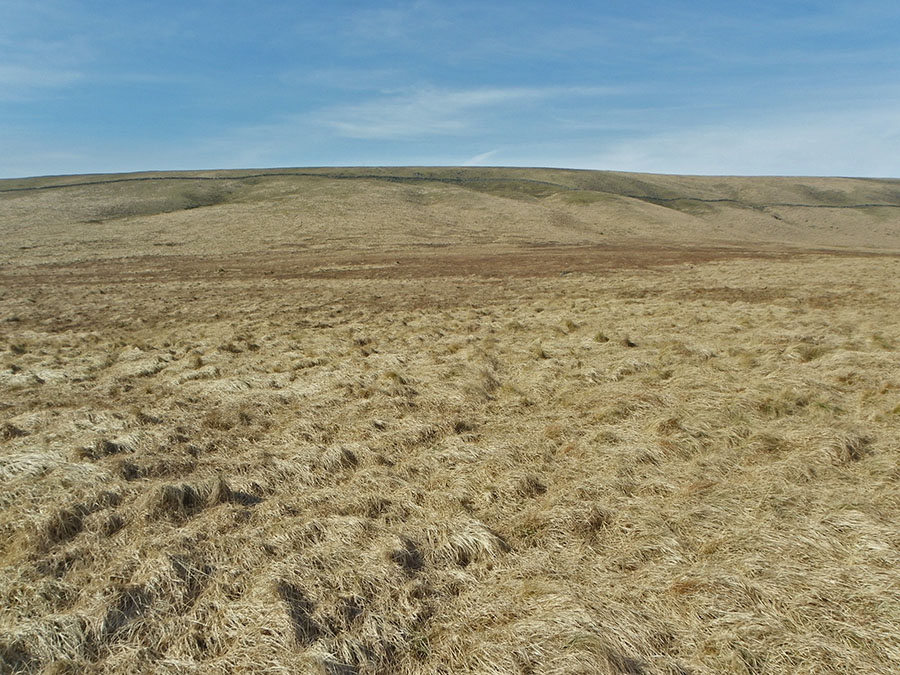
The grassy sward between Quintin's Man and Great Varracombe. SX 628838. In these bright sunny conditions this area looks like a mini version of the African savannah.
|
 |
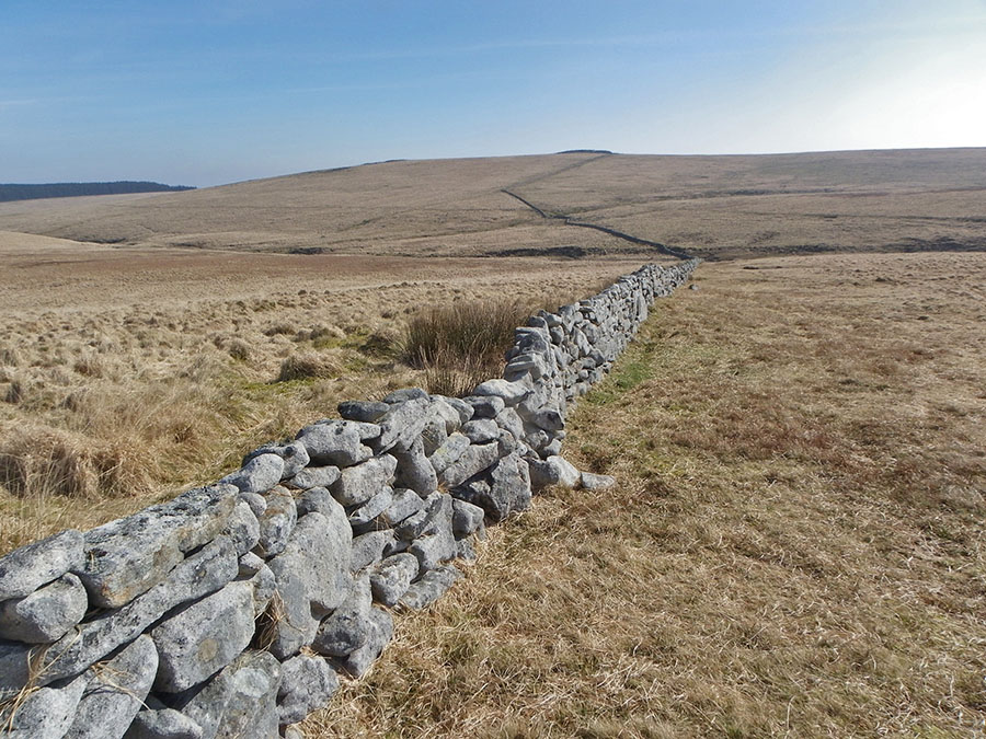
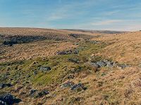
Looking along the impressive drystone wall of Teignhead Great Newtake that winds around Teignhead Farm SX 623836. The newtake encloses over 1500 acres of land and was built around 1808. The construction was not without argument and debate. Many locals thought it to be a big intrusion onto their common land rights. The view looks due south towards Sittaford Tor. In the valley below lies the nascent Teign river.
|
 |
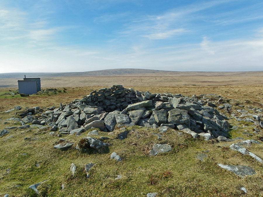
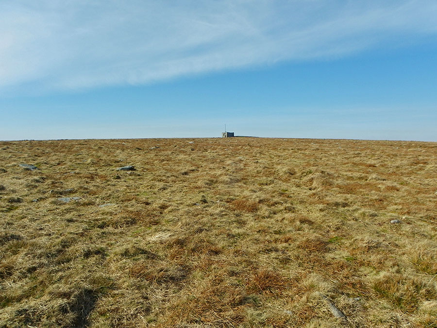
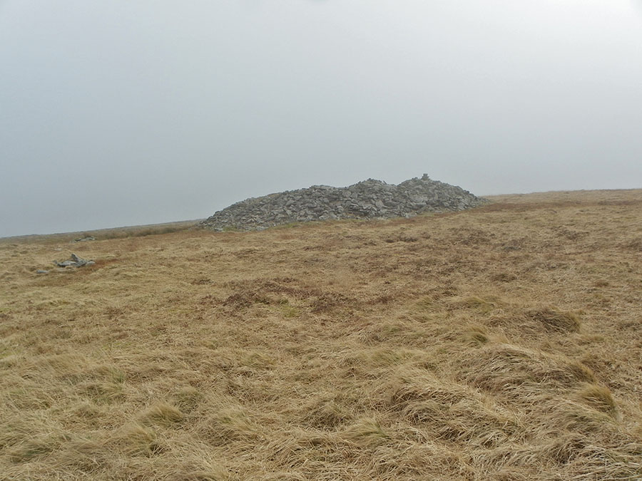
Quintins Man cairn with Cut Hill on the horizon - SX 621838. The army hut strikes a slightly incongruous note to this wild landscape. William Crossing has suggested that there used to be a menhir here to account for the singular name but unfortunately there is no evidence for this.
|
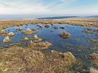 |
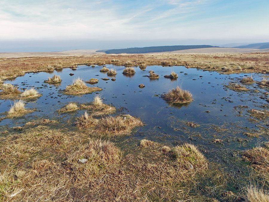
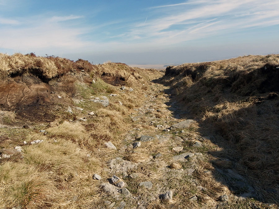
A pool on the ridge track at SX 619844. This ridge is exposed in every direction. A lightning storm up here would be both awesome and frightening.
|
 |
One of the peat cutter's shelters to be found on Whitehorse Hill. Given the unprotected conditions that this ridge experiences then these summer shelters were certainly needed. |
 |
The ruins of Moute's Inn (SX 618853) - a peat cutter's shelter. at 600m high. Probably about 200 years old. Hemery writes that a cache of spirits was maintained here and that this is what gives it it's name. If true, then this would certainly give this shelter the honour of being the highest inn in England. And also the inn with the most extensive views.
|
 |
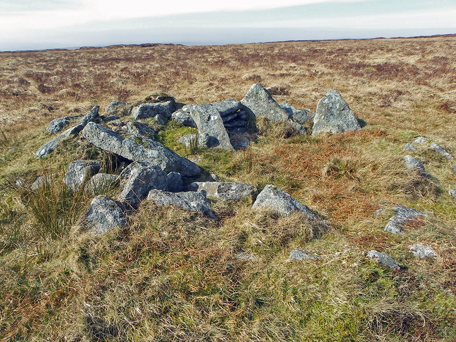
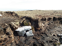
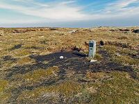
Whitehorse Hill cairn at SX 617855 with the cist just below it. You can see the flat topstone and below it 2 side stones. The cist itself lies behind these 2 stones.
|
 |
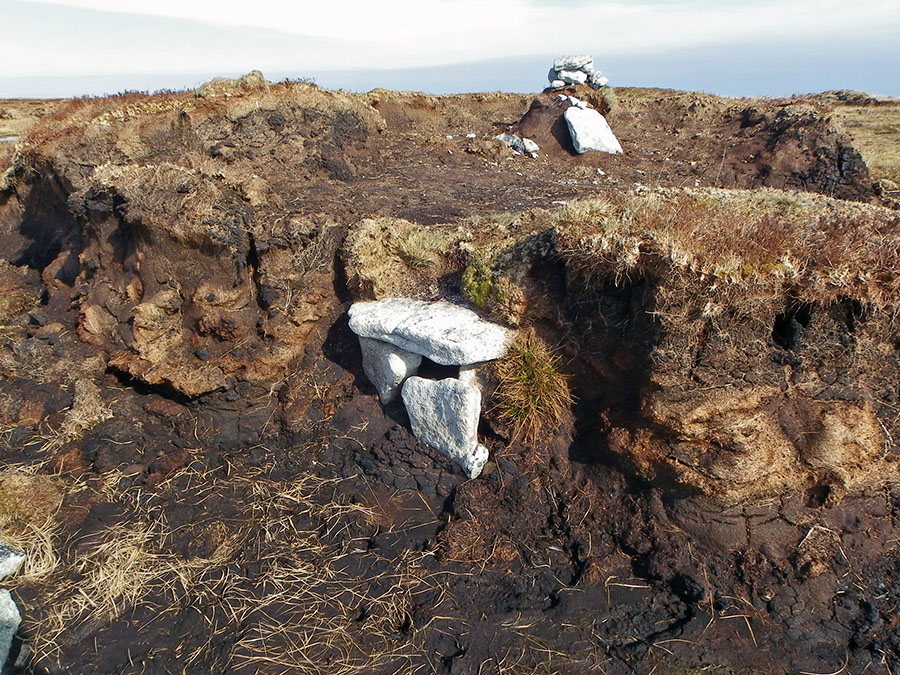
Another picture of the Whitehorse cist embedded in the peat that has surrounded and protected it for so many years. |
 |
The top Whitehorse peat path markers with the start of the peat pass just behind. The origin of the name Whitehorse is unclear. Hemery suggests that it may be that on the eastern slope of the hill then there was a horse like outline carved out as a results of peat cutting. If so then so such outline exists today.
|
 |
In the peat pass that Frank Philpotts cut all those years ago. Unlike many of the Dartmoor peat passes that have become more boggy and watery than the surrounding area, this peat pass is a joy to walk along. It is dry and well surfaced and is certainly preferable to the awkward ground around Whitehorse Hill.
|
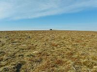 |
The military marker of Hangingstone Hill taken from SX 619859. We are just out of the peat pass now and are walking over fairly easy ground towards the army post.
|
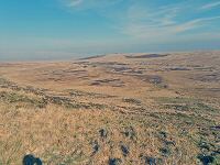 |
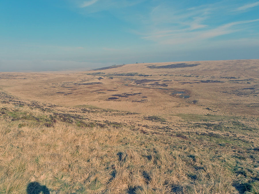
View over Watern Combe from SX 621865. Watern Tor is on the horizon. This combe is one of the most wild and unvisited places on the moor. Standing up above it on the side of Hangingstone Hill gives one an excellent vista.
|
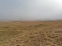 |
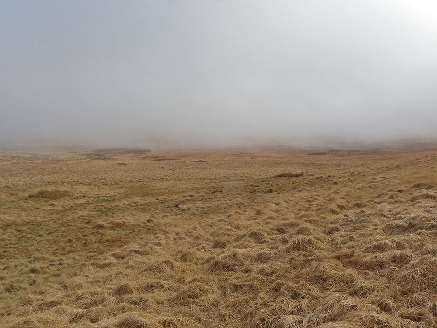
Mist approaching along Watern Combe. 5 mins ago the view was perfect. Just shows how suddenly the weather can change in this isolated place.
|
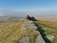 |
One of the rocks of Watern Tor at SX 629869. This tor has one of the best locations of any of the tors of Dartmoor.
|
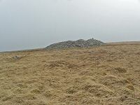 |
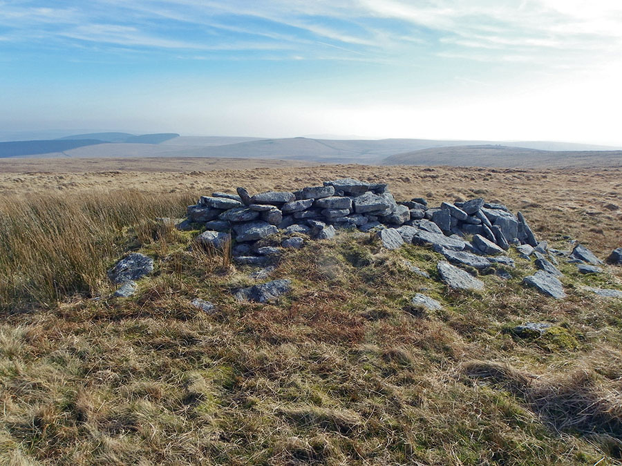
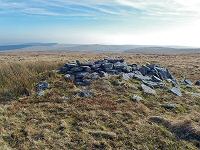
The cairn near Watern Tor SX 629861
|
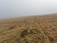 |
The mist is back. We're walking beside a low wall at SX 629858. In these conditions it's important to keep to the wall and follow the map. In a short distance the wall bifurcates and it's important to take the left fork. Otherwise you run the risk of walking into the Great Mire.
|
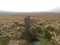 |
A marker post at SX 632851. Behind lies the unpleasant ground of Teignhead Great Mire - not a place that you want to step into especially with this mist swirling around.
|
 |
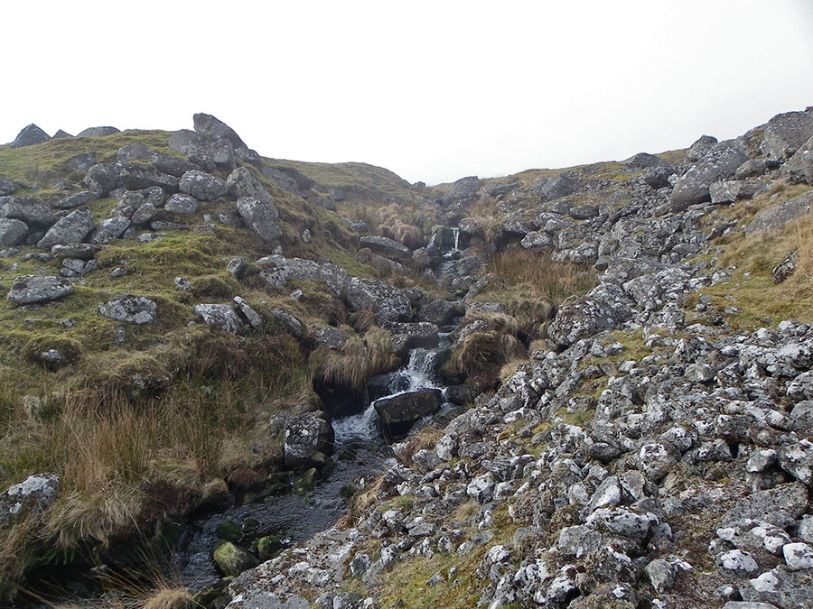
Walking down the stony slopes of Manga Brook - SX 634846. This is where the Great Mire drains down - quite a contrast in character in such a short distance.
|
 |
The clapper bridge over the Teign at SX 639845. The dense plantation of Sitka spruces of Fernworthy forest lie behind. |