All | Little | Shorter | Standard | Longer | Tors | Relics | History | Links | Panoramas | Home
|
||||||||||||||||||||||||||||||||||||||||||||||||||||||||||||||
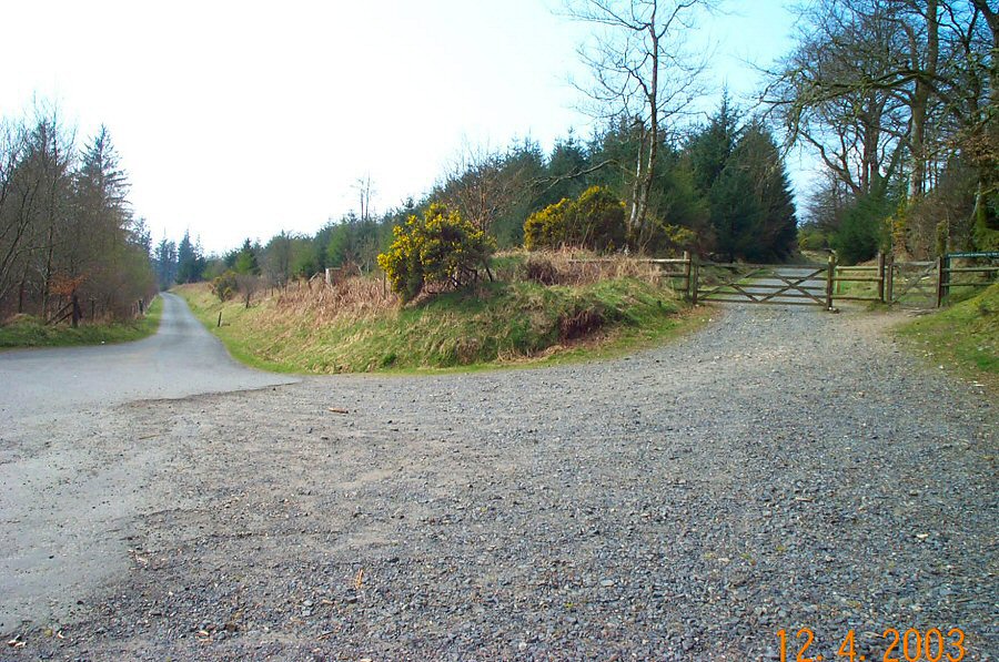
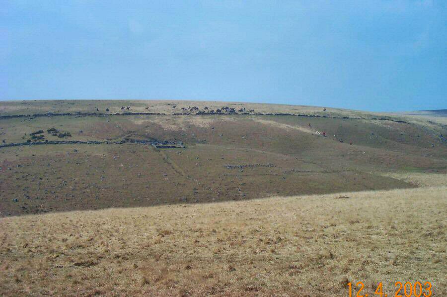
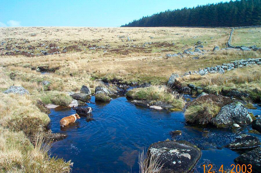
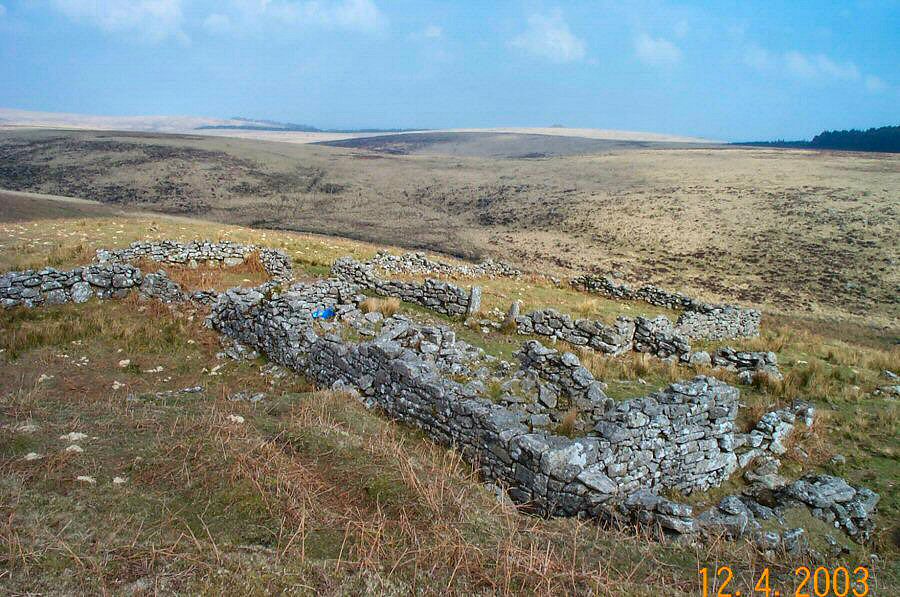
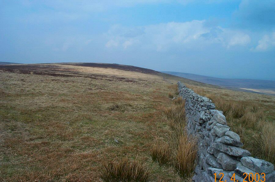
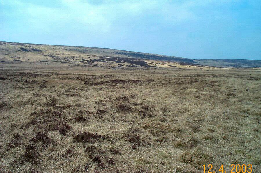
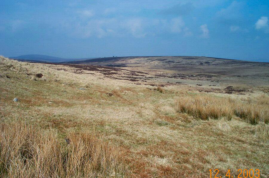
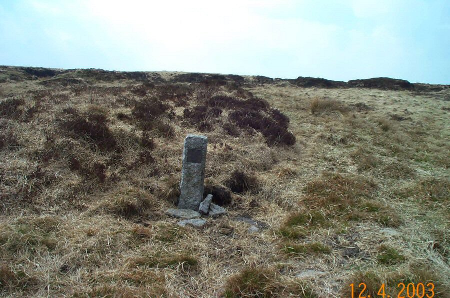
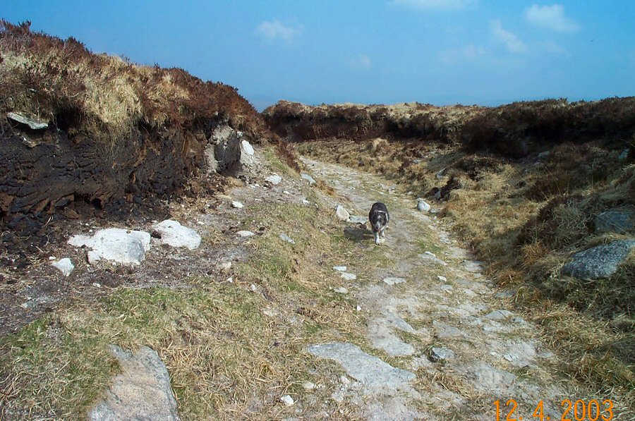
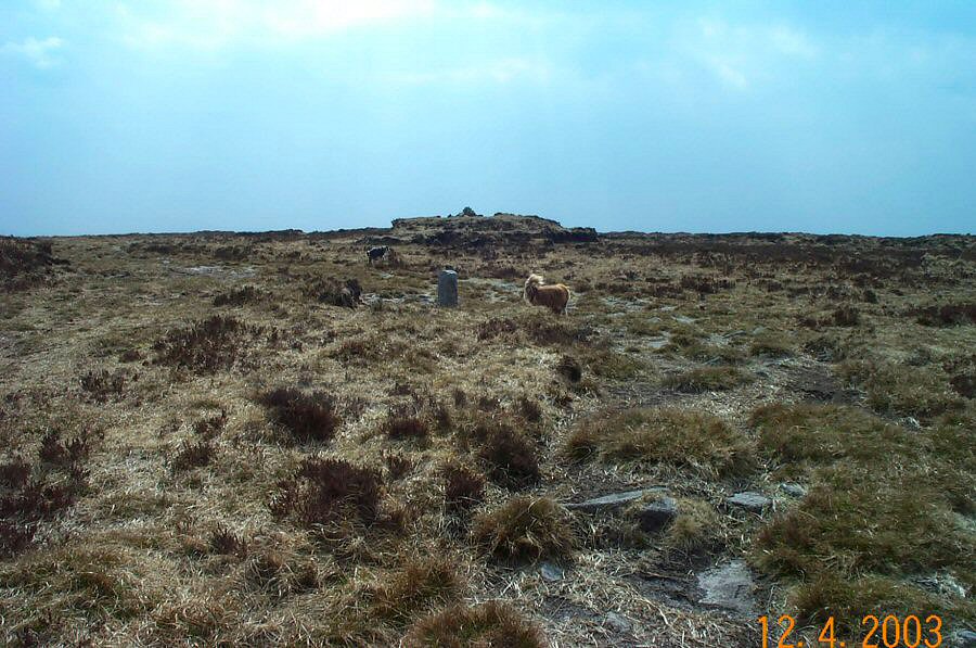
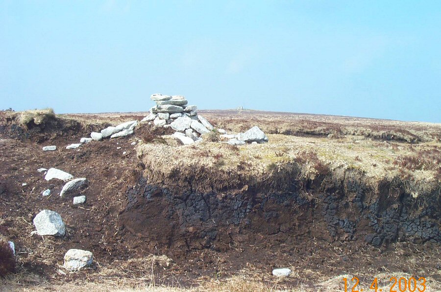
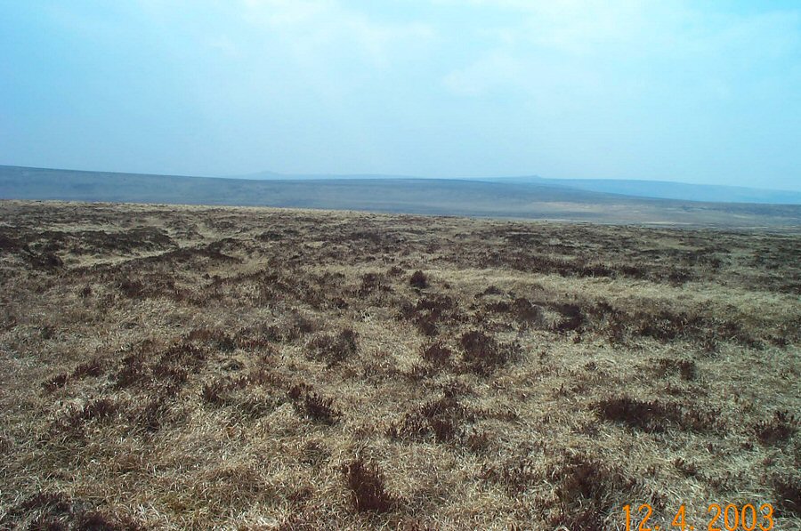
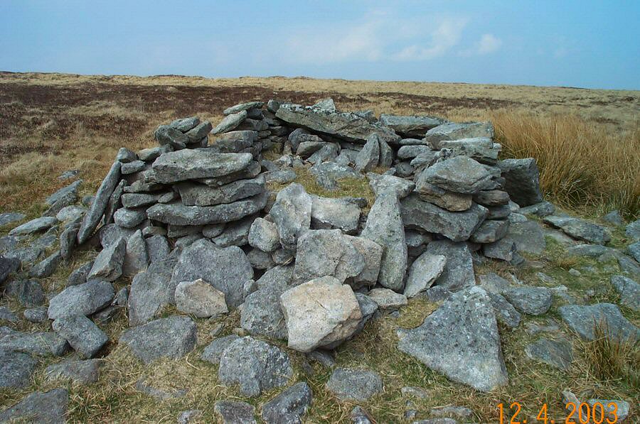
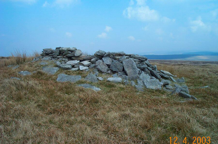
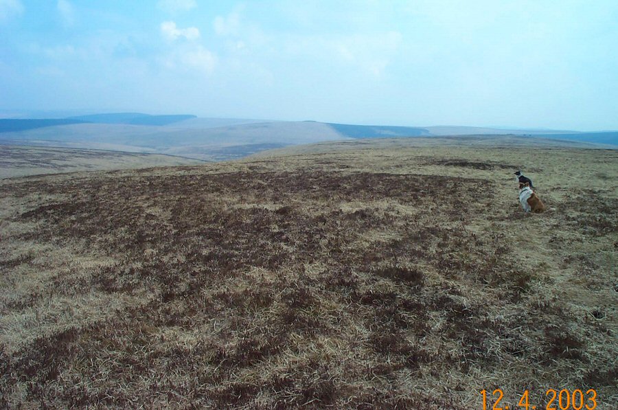
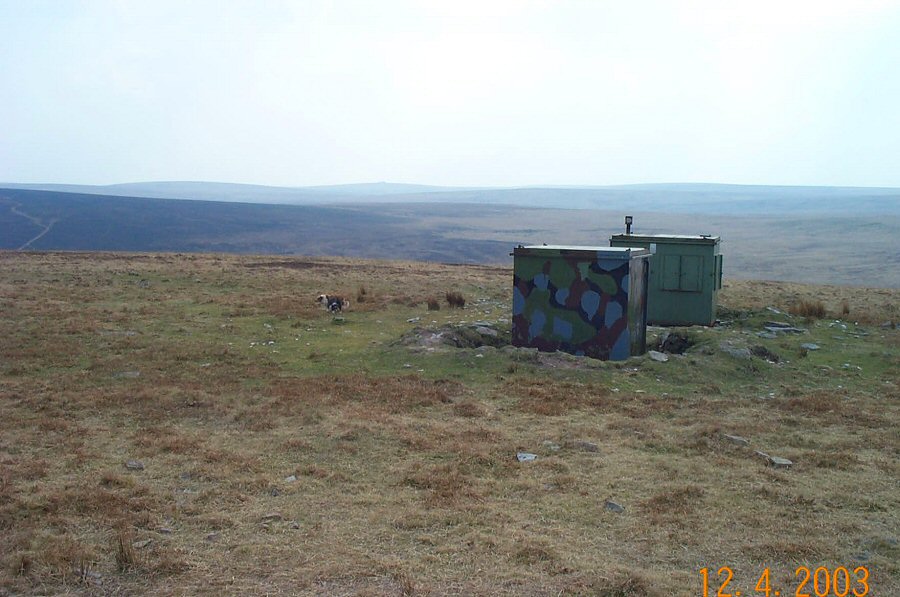
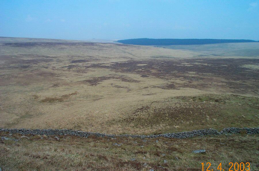
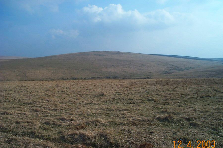
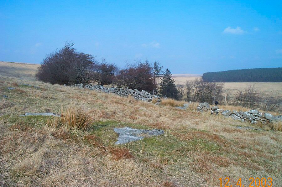
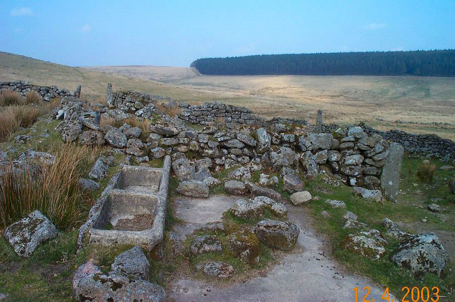
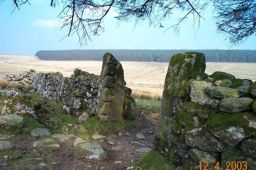
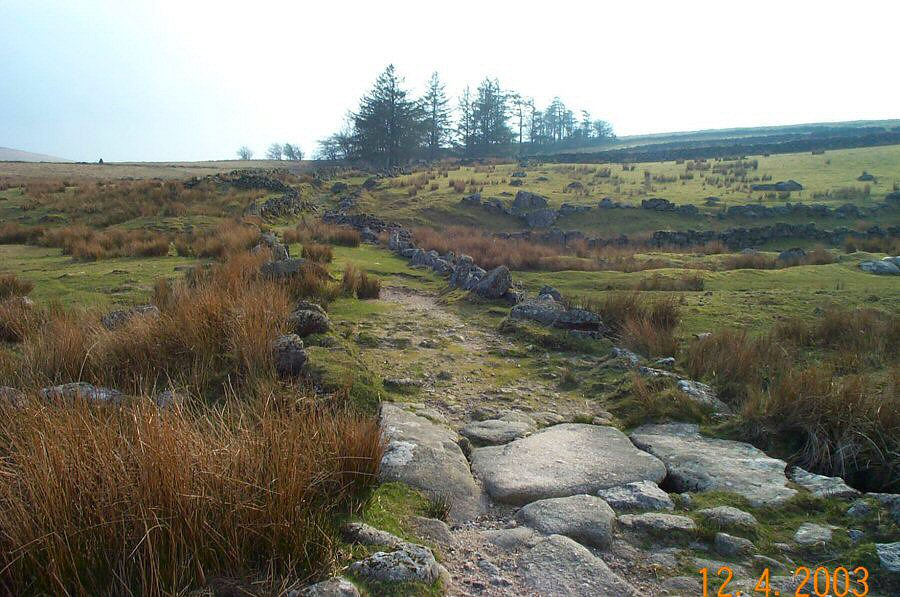
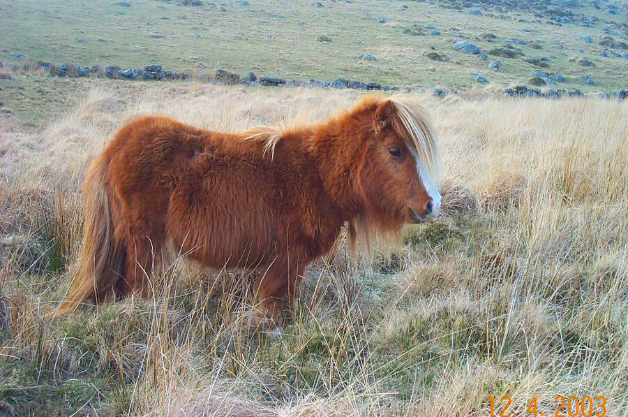
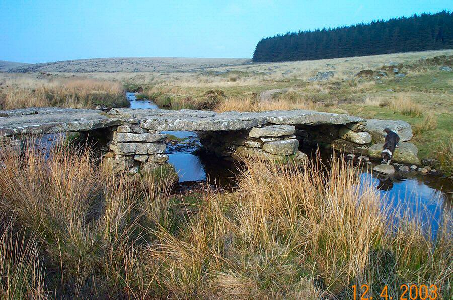
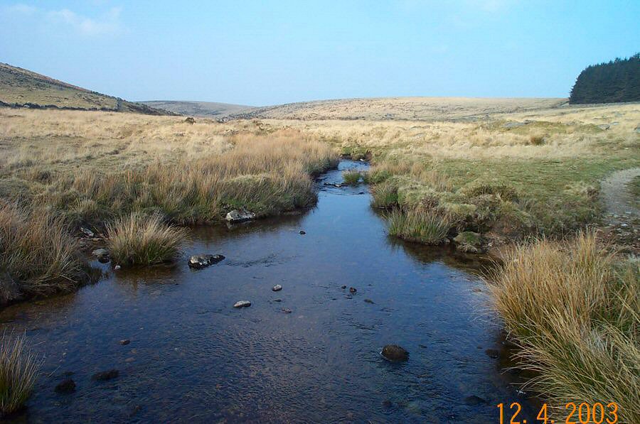
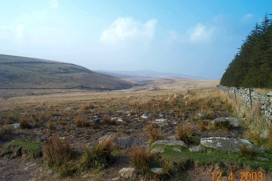
Whitehorse HillWhitehorse Hill is one of the highest and most exposed places in North Dartmoor. Despite the appealing name it is a featureless windswept hill covered with eroded peat beds. The hill doesn't even have a tor - just a tiny cairn created from a few rocks of granite. Nonetheless, the isolation gives it a certain atmosphere and on a clear day the views are great. This walk allows us to see different types of Dartmoor habitations - peat cutters' shelters, a tinner's hut and 2 ruined farmsteads.Park at Fernworthy Forest (SX 659839) and take the forest path to the moorgate at Long Ridge. Cross the Teign and head for Manga Farm and carry on walking up Manga Hill. From the top you make westwards for Whitehorse Hill via the head of Walla Brook. You can easily get to the top of Whitehorse via the peat pass. Then head along the ridge down to Quintin's Man. Head back towards Fernworthy via Great Varracombe and the ruined Teignhead farm.This walk is fairly straightforward with little steep climbing - although some of the ground is quite rough. Allow about 3.5 hours at a reasonable pace. Bad weather will make this walk a challenge. This walk was made after some weeks of dry weather which is why the grass looks so pale.Some of the area lies in the army firing range.
|
||||||||||||||||||||||||||||||||||||||||||||||||||||||||||||||
All | Little | Shorter | Standard | Longer | Tors | Relics | History | Links | Panoramas | Home | ||||||||||||||||||||||||||||||||||||||||||||||||||||||||||||||