 |
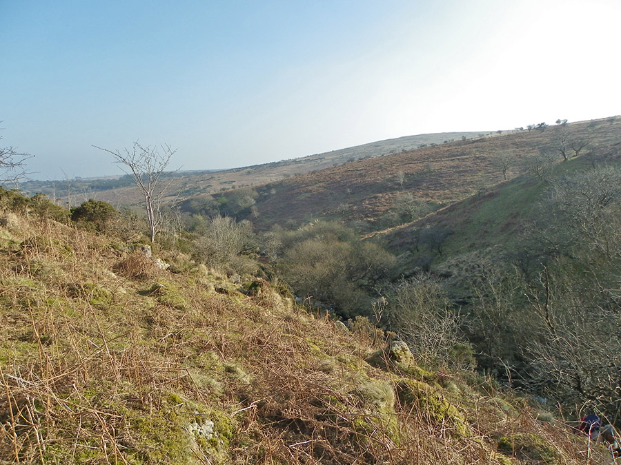
The western car park next to the Venford Reservoir. SX 685712. A good place to park up. Venford Reservoir has a lot to offer the casual tourist. There's a nice gentle walk around the reservoir that is suitable for most people.
|
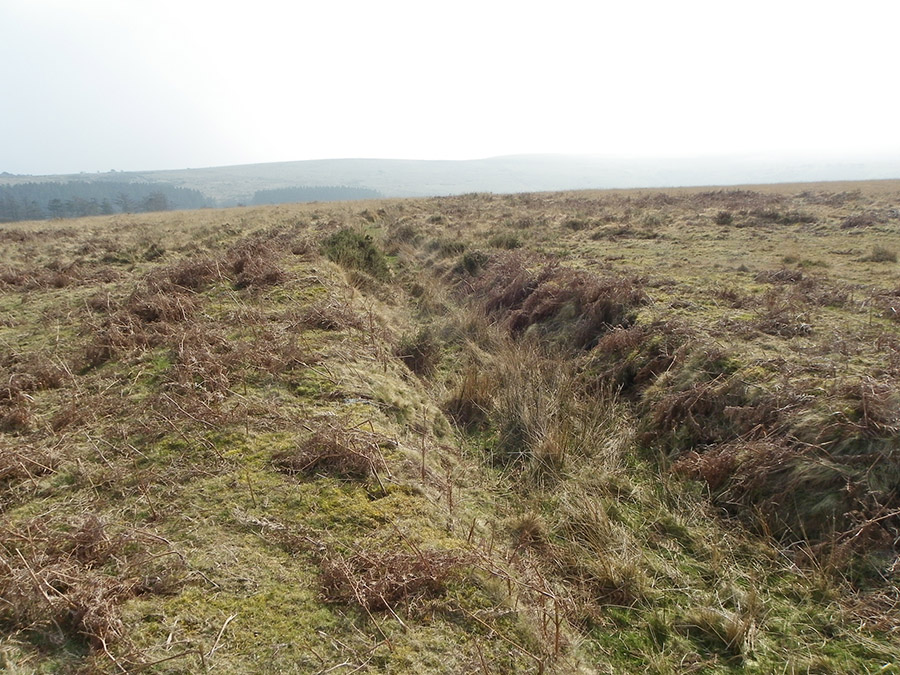 |
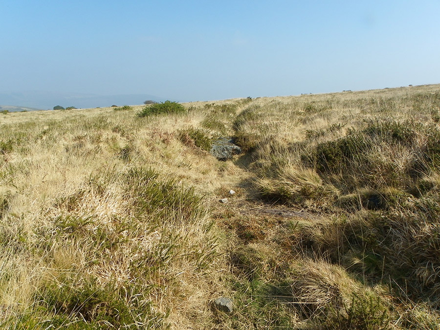
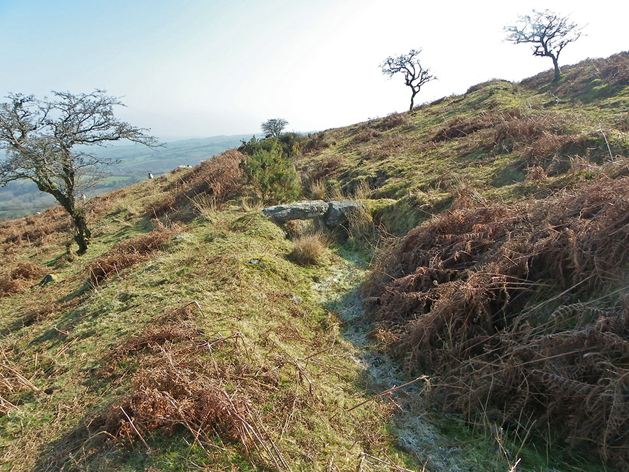
SX 682711 - the path of the dry Wheal Emma Leat.
|
 |
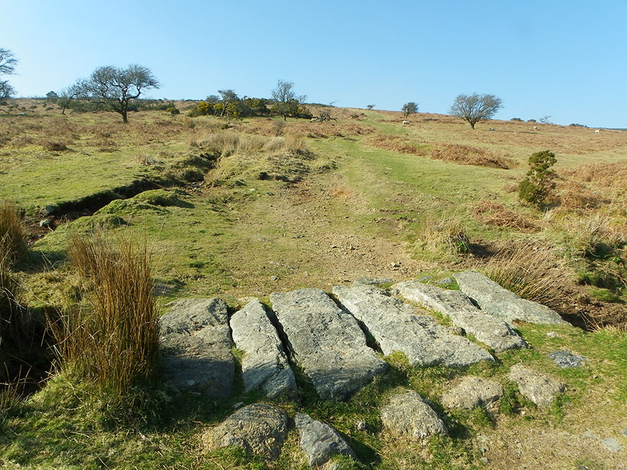
SX 680707 - one of the sheep bridges across the Wheal Emma leat.
|
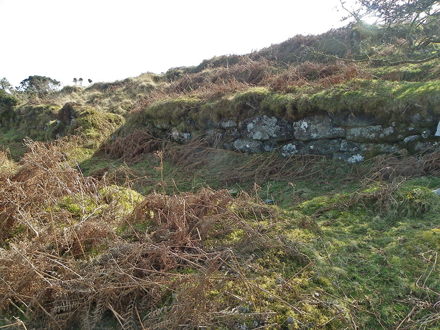 |
Leat wall at SX 680704. This is where the Wheal Emma leat wall changes direction and heads off SW.
|
 |
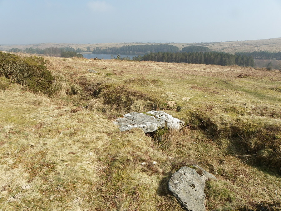
SX 684703 - Wheal Emma Leat - one of the leats that run around the Venford Reservoir
|
 |
SX 689706 - the Wheal Emma Leat as it curves down along the edge of Holne Moor.
|
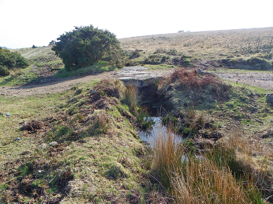 |
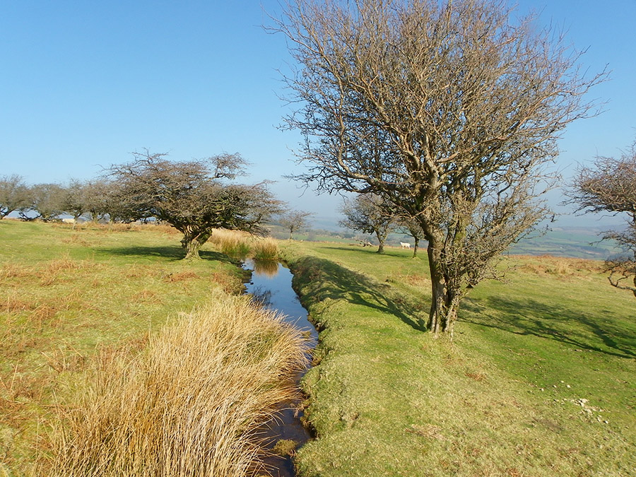
SX 692699. This bridge marks an intersection between the Wheal Emma Leat and the Holne Town gutter. The gutter still has water flowing along it down towards the Holne hamlet. The track leads on towards the Sandy Way.
|
 |
SX 687697. This is the edge of the enclosure below which Wheal Emma emerges to continue down towards the Mardle. Ideal place to take a break and admire the view.
|
 |
SX 686696. Looking SE over towards the leats that lie in Gibby Combe
|
 |
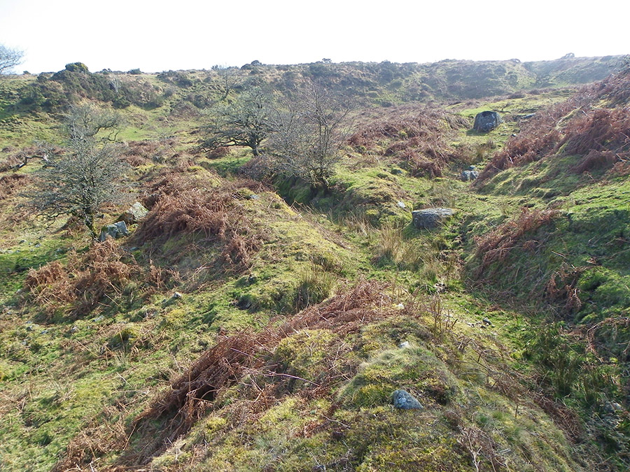
SX 686694 - the drained out Wheal Emma leat channel - with a small granite sheep bridge. A great place to walk in early spring.
|
 |
The granite bridge over the Emma Wheal leat at Sandy Way - SX 686691. The Sandy Way backs down to the hamlet of Holne. It also heads up to the higher reaches of Ryder's Hill - the high point for south Dartmoor. |
 |
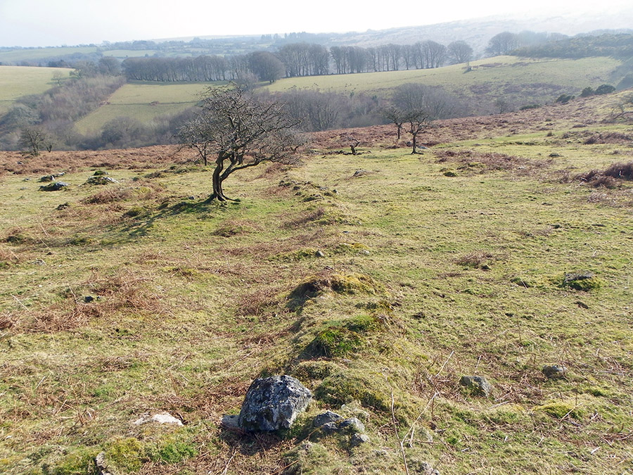
SX 684690. The Wheal Emma leat as it passes through the Gibby Coombe area. This is a great place to walk through - but after June the bracken growth makes it quite unpleasant.
|
 |
A reave at SX 683689
|
 |
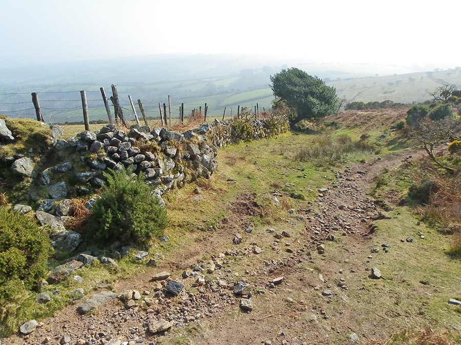
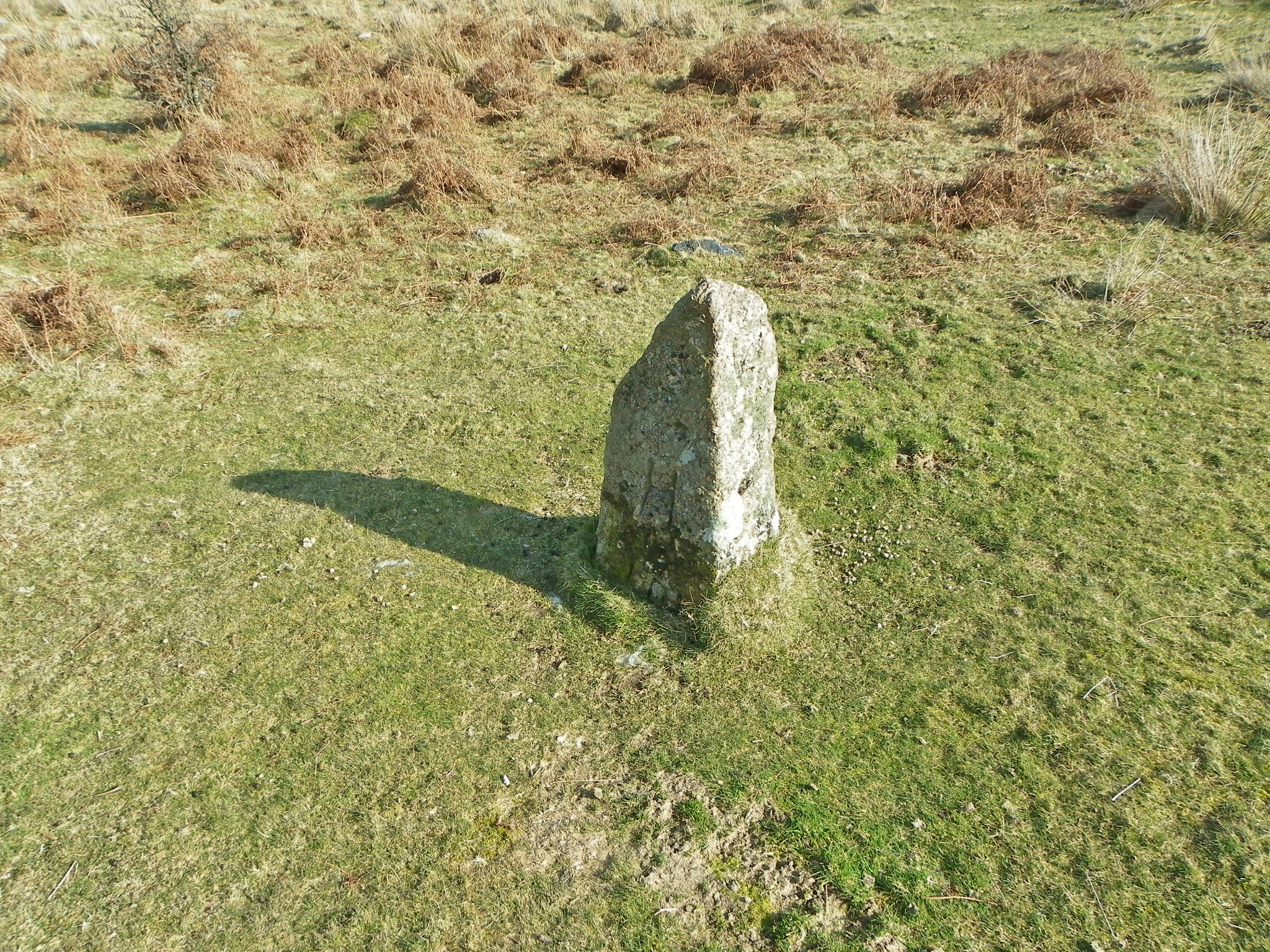
A boundary stone at Sitting Down End - SX 679687. B means Buckfastleigh. There are a number of boundary stones in this area. The parishes of Buckfastleigh and Holne seem to have been rather protective about their moorland domains.
|
 |
Another boundary stone at Sitting Down End - SX 678687. H is Holne. Down below on the grass level are the letters I and M. This stone was erected in 1990 and it commemorates Ian Mercer who used to be steward of Holne Moor at that time. The stone is known as the Mercer memorial.
|
 |
SX 681685 - walking beside the leat line towards the Mardle drop.
|
 |
This is where Wheal Emma drops down to the Mardle - SX 680684. Overgrown and not very dramatic today - but in past years there would have been a steady drop of water from the leat into the valley below. This would have been taken up by the Wheal Emma copper mine in the 19th century.
|
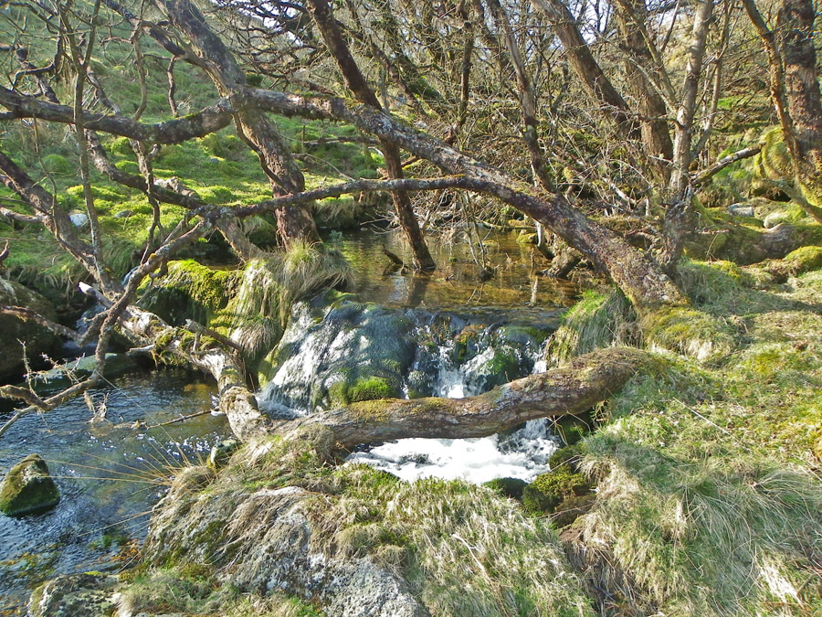 |
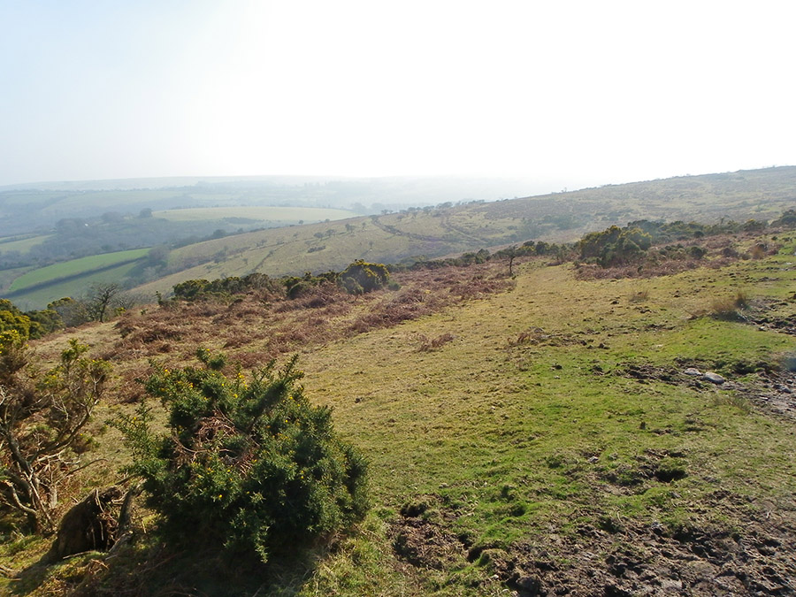
The Mardle - SX 676687. The Mardle is a beautiful upland stream and well worth exploring up to the hilt. But, not a stream that can be easily crossed. Water level can be high and the adjacent ground can be tricky or worse. Notwithstanding - a great Dartmoor river.
|
 |
The steep Mardle valley from SX 676688.
|
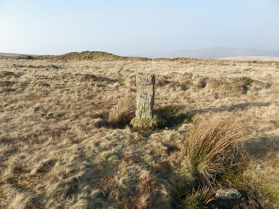 |
A exposed boundary stone at SX 665692 near Sandy Way. This is inscribed RD/H which means Richard Dawson, Holne. In 1907 the rapidly expanding town of Paignton was in urgent need for a better water supply. It was thought that Holne Moor would be a good site to build a reservoir. Dawson was the Lord of the Holne manor in 1907 when negotiations between Paignton and Holne began. Venford reservoir was the result. On the reverse side is PUDC - Paignton Urban Disrict Council. This stone marks the perimeter of the land purchased by Paignton. There are a number of them spaced at 200m intervals.
|
 |
Ringleshutes Workings - some of the remains of the old tin excavations at SX 672698. These workings are centuries old.
|
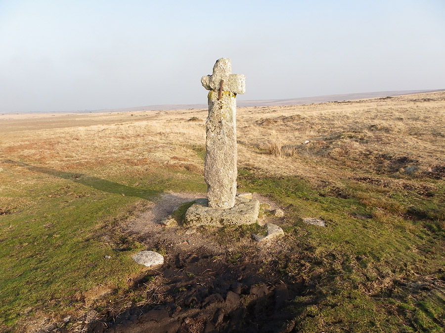 |
Horn's Cross - SX 669711. This was an intersection of two Dartmoor tracks - Coombestone -> Dartmouth and the Muttern way. Originally this may have been a telling place for moormen to count their sheep. Built around 1920's - before that it may not have been recognisable ie. the cross was restored in 1928.
|
 |
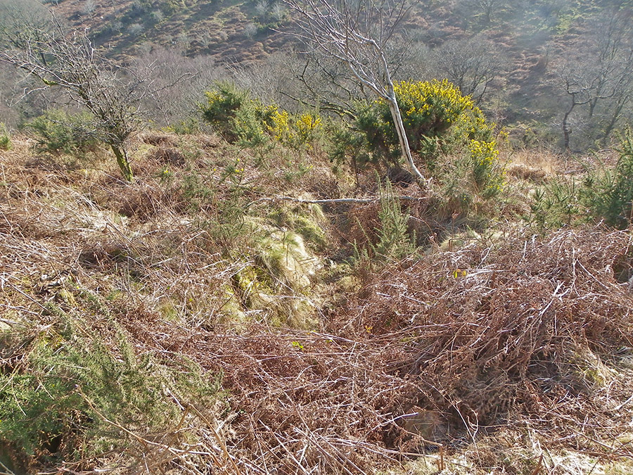
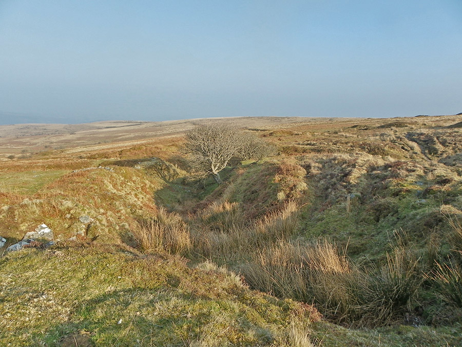
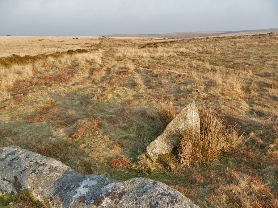
A terminal reave at SX 672711. Reaves are Bronze Age field boundaries. To start with they were probably just earthern boundaries. Then they began to be made with granite lumps and are probably similar to dry stone walls that were topped off with hedging material.
|
 |
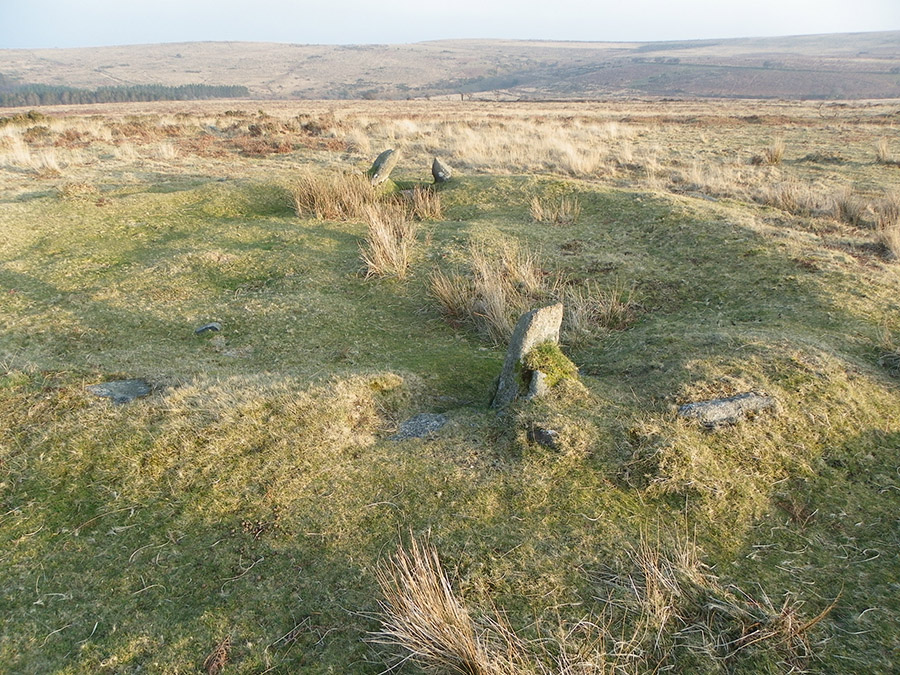
Triple stone row at SX 674710. This row predates the reave development. This row seems to have been of great importance to the later reave builders. That is, it may have provided a religious focus to the Bronze Age farmer's beliefs. To the left the domestic buildings - to the right the more spiritural side of their beliefs. On the extreme right we have Ryder's Hill - nearly the highest point in southern England. This may have been where the Bronze Age ancestors were thought to have resided after death.
|
 |
Andrew's hut - SX 679711. This hut was excavated in the 1970's by Andrew Fleming. The excavation is fully described in "The Dartmoor Reaves" by Andrew Fleming. Initially, this building looked to be a circular timber house that was replaced by a stone faced earthen house with internal wooden walls. This house was well integrated into the reave wall system that surrounded it.
|
 |
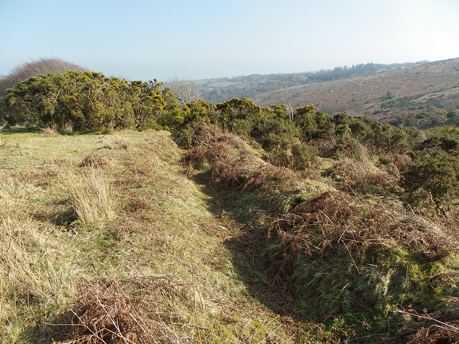
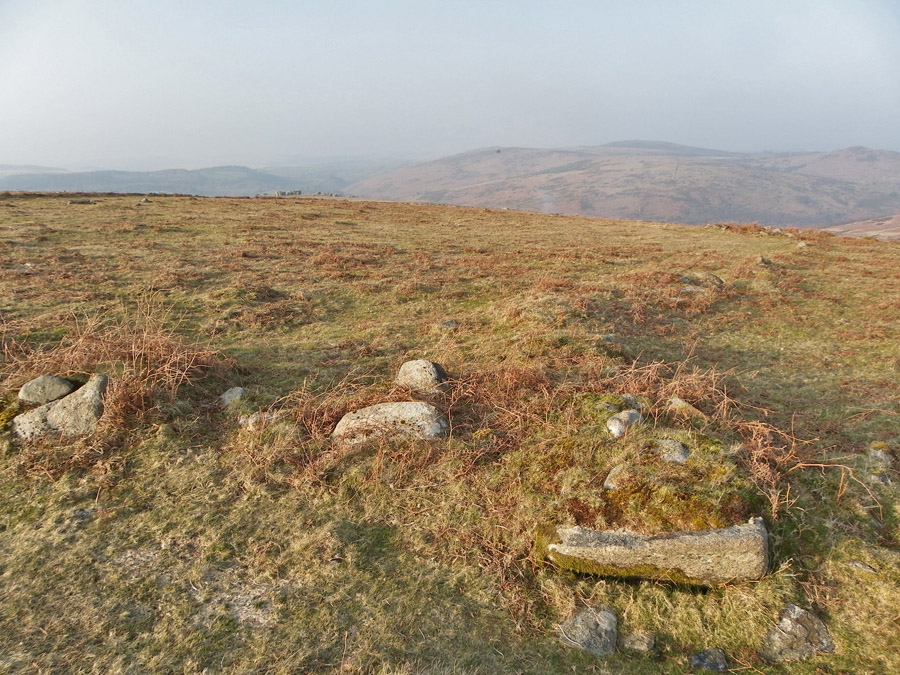
A section of the Venford reave at SX 678713. This area is criss crossed with reaves. There are 3 main types of reaves - terminal, parallel and cross. Terminal reaves are often long banks that run for 1 km or much more. They represent the main boundaries of the local farming system. Parallel reaves are much shorter and probably signify personal plots of land or other distinct areas. Cross reaves provide further division. The Venford area contains good examples of all.
|
