 |
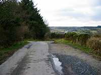
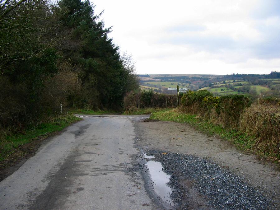
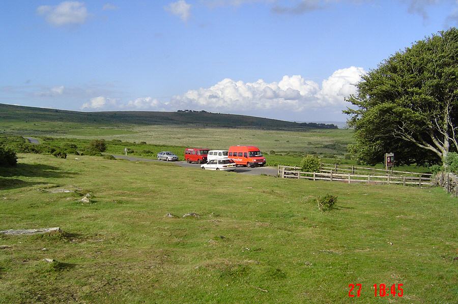
Near Cross Furzes at SX 700666. We take the path down on the
left. This is the start of the Abbot's Way.
|
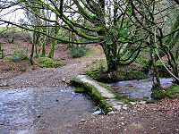 |
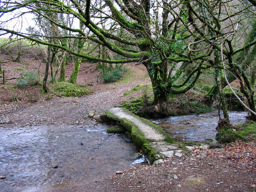
The ford and clapper bridge over the Dean at SX 698665. The
bridge is dated from the early 18th century. |
 |
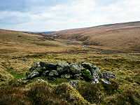
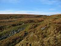
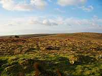
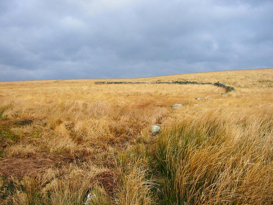
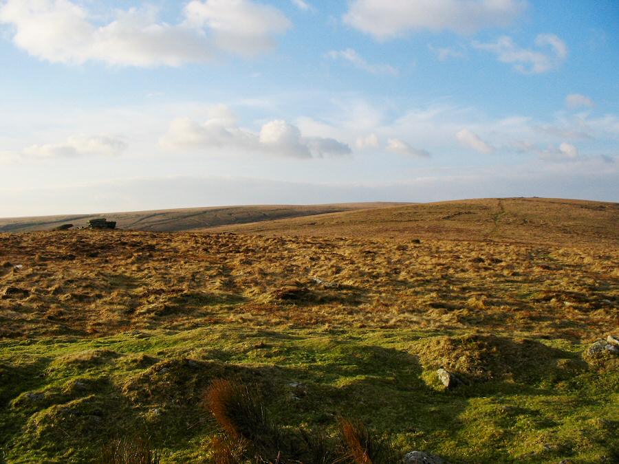
Lamb's Down. |
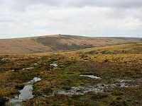 |
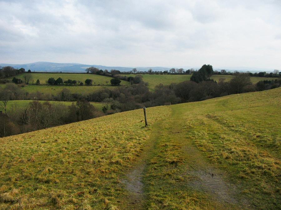
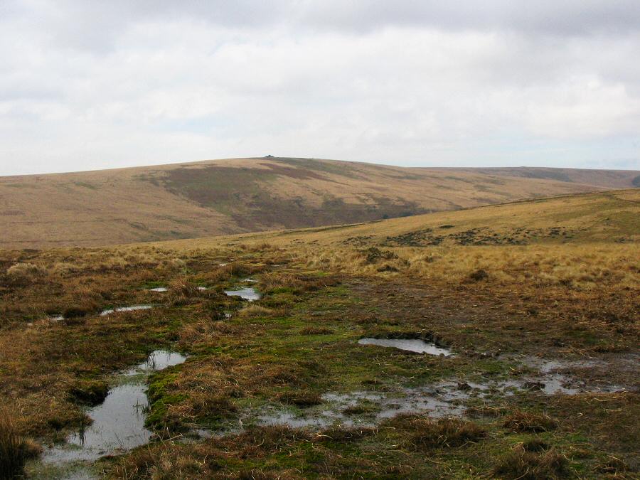
The west view from the Abbot's Way on Dean Moor at SX 684658.
Eastern White Barrow is on the horizon. We are now on the moor
proper. |
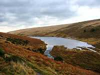 |
The edge of the Avon reservoir. |
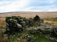 |
A derelict water wheel pit - part of the old tin mine of Devon
Wheal Vor that closed down in 1815 but reopened for a short while
in 1866 as the Huntingdon Mine. |
 |
Another view of the Huntingdon mine wheel pit. |
 |
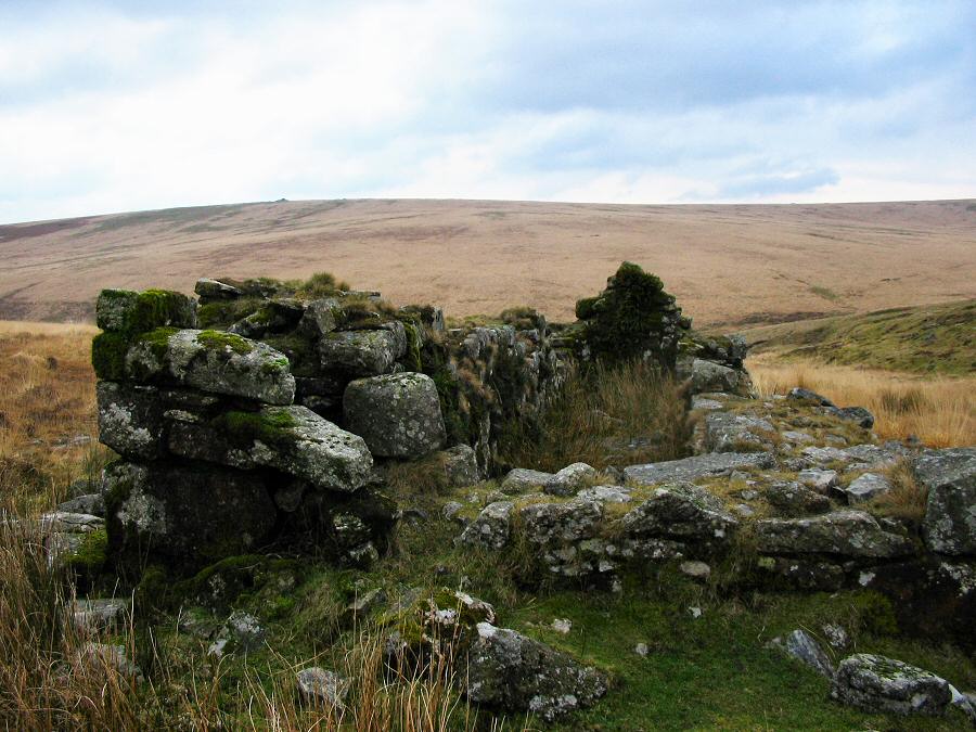
Keble Martin's chapel at SX 667667 near to Huntingdon Warren
farm. This was built in the early 20th century by a group of young
men led by Keble Martin the famous botanist and sometime vicar
of Dartington. |
 |
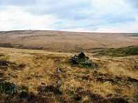
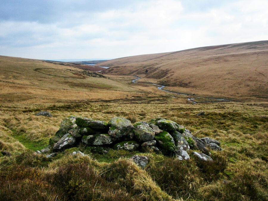
One of the rabbit burrows associated with Huntingdon warren.
On the OS maps they are marked as pillow mounds. Eastern Whitebarrow
is on the horizon and the Avon flows down the valley toward the
reservoir. |
 |
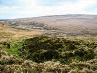
The SE view from one of the shelters built by the warreners.
All around are the remains of Bronze age hut circles. |
 |
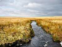
Looking downstream from the Avon clapper bridge. |
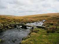 |
The clapper bridge over the Avon. This was built by the warrener
to give him better access to Ivybridge. |
 |
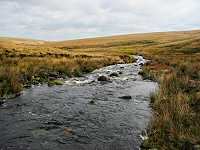
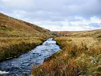
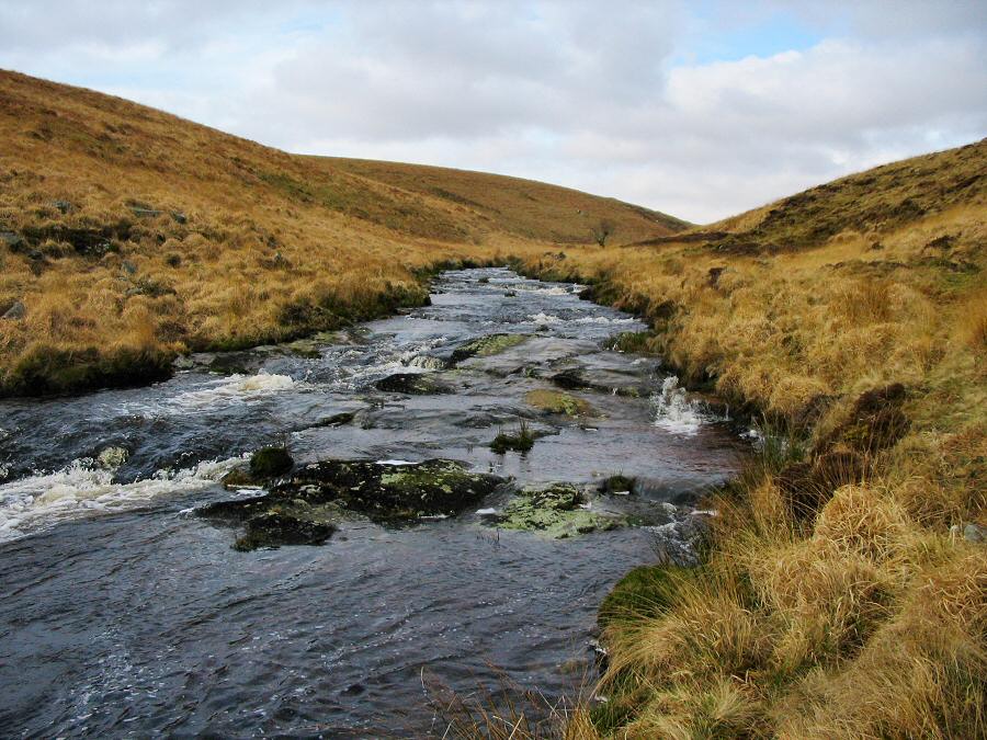
An upstream view of the Avon as it goes over rocky outcrops
near Stony Girt. |
 |
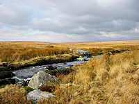
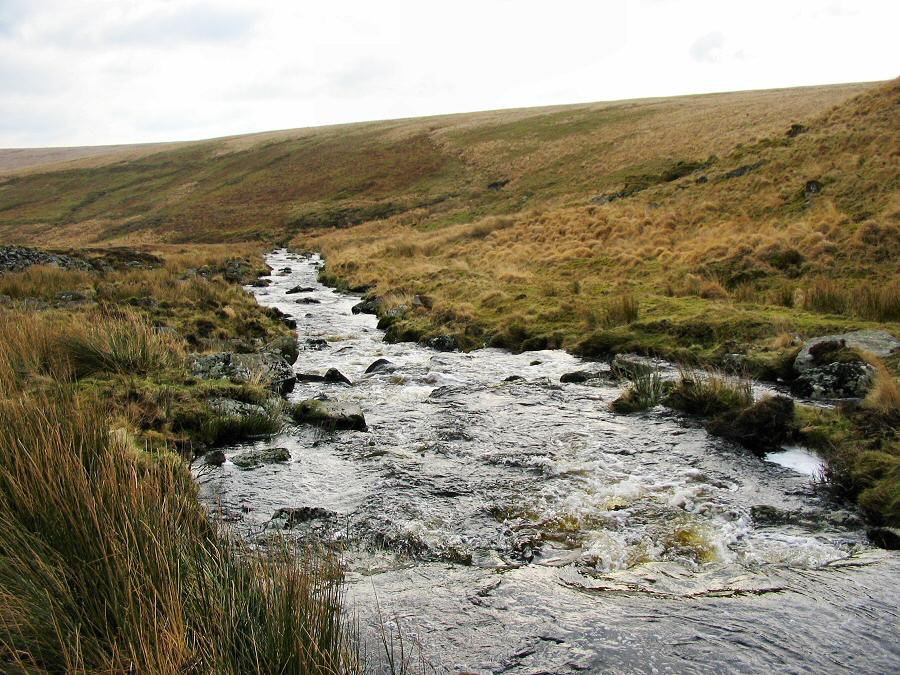
A downstream view of the Avon. |
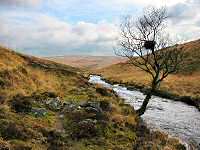 |
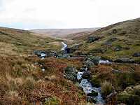
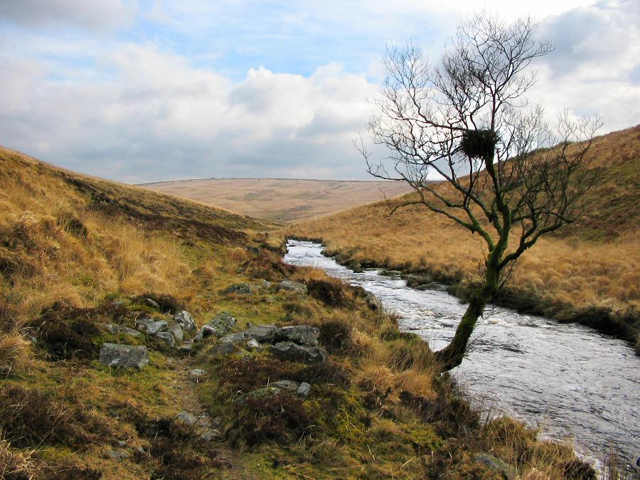
The Avon not far from Broad Falls. There's a raven's nest in
this tree. |
 |
The Avon river taken from SX 654668. Broad Falls is in the
distance. |
 |
The downstream view from Broad Falls. |
 |
The Avon as it emerges from the marshy pan above Broad Falls.
Taken from SX 653672. |
 |
Another view of the Avon - looking northwards. Naker's Hill
is on the left horizon. |
 |
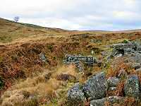
Part of the enclosure wall of Huntingdon Warren as it comes
down to join the Avon. On the left is the start of Ryders Mire. |
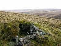 |
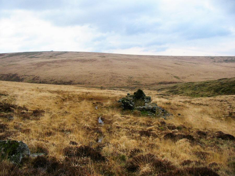
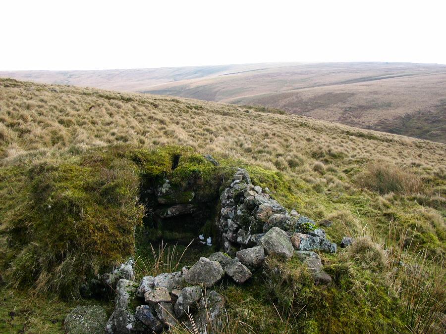
A lookout on the west side of Huntingdon Hill. This curious
structure was built around 1850 to protect the warren from poachers
- particularly those working at Redlake. There's a small chimney
which doubtless was used on cold nights. |
 |
You can see the horizontal line of an old leat that went from
the water at Broad falls over to Wheal Dorothy in Red Brook. |
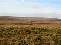 |
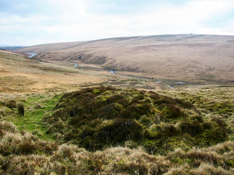
Looking NE towards the shallow pan that houses the Upper
Avon. This is wet country with two infamous mires - Fishlake
and Ryders. |
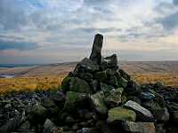 |
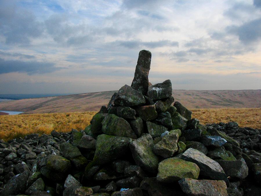
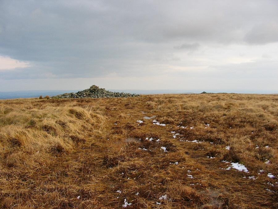
The main cairn of a Heap of Sinners (or Huntingdon Barrow)
at SX 662669. This odd shaped top was built by a Dartmoor eccentric
called MooRoaMan in the 1940's. There are great views from this
cairn and it does make a distictive landmark. |
 |
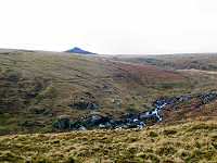
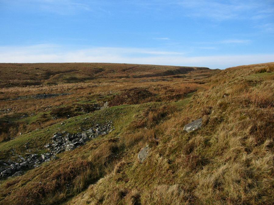
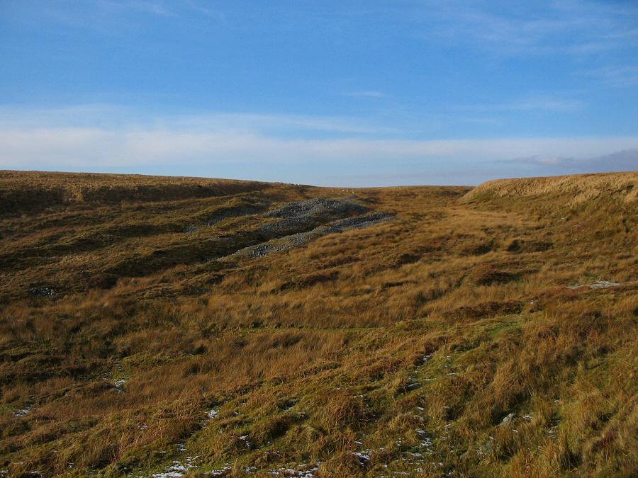
Wellabrook Girt at SX 666678. This was built by the tin miners
that were very active here in past centuries. There are heaps of
rubble tips spread out over the floor of the girt. |
 |
Another view of Wellabrook Girt. |
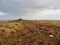 |
Two of the smallish cairns that denote Snowdon. There's even
a little bit of snow in the picture. |
 |
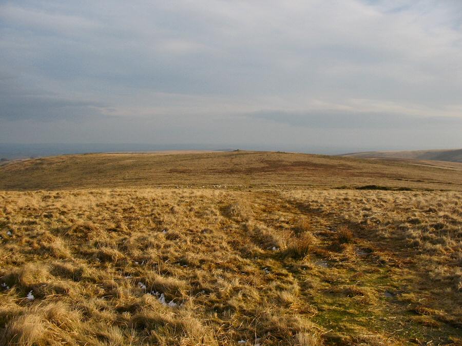
The path from Snowdon over to Puper's Hill. This is great ridge
walking at SX 669680. |
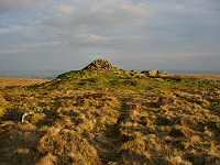 |
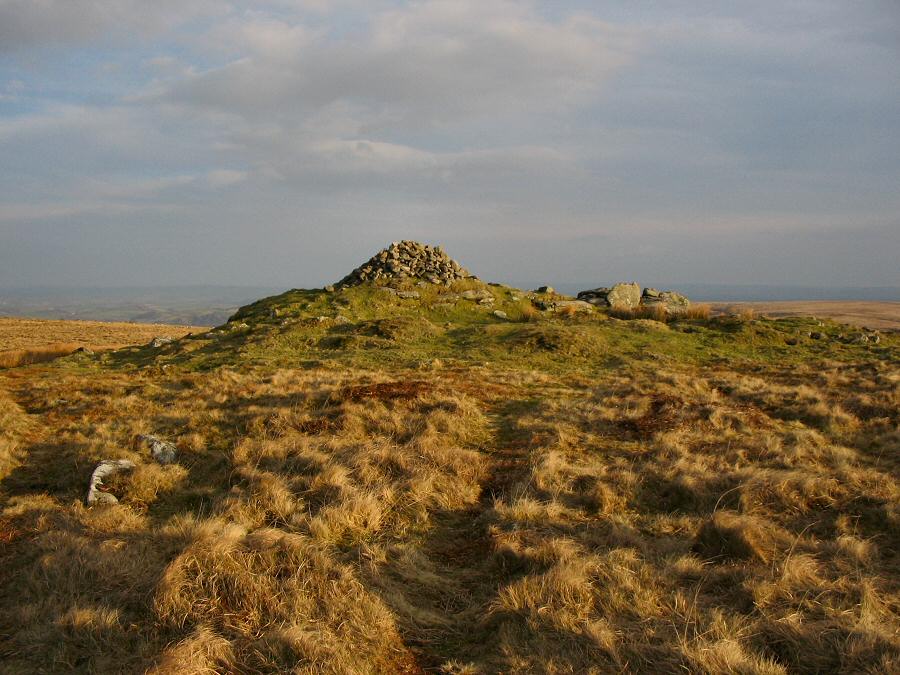
The cairn of Pupers Hill - SX 673674 |
 |
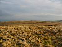
Looking back towards Snowdon from Puper's Hill. |


