All | Little | Shorter | Standard | Longer | Tors | Relics | History | Links | Panoramas | Home
|
||||||||||||||||||||||||||||||||||||||||||||||||||||||||||||||||||||||||
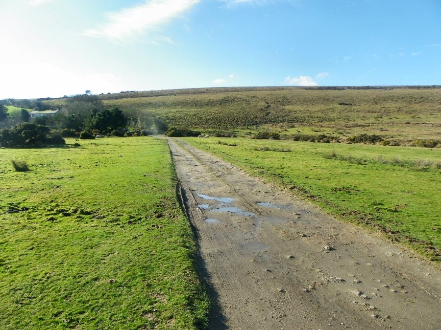
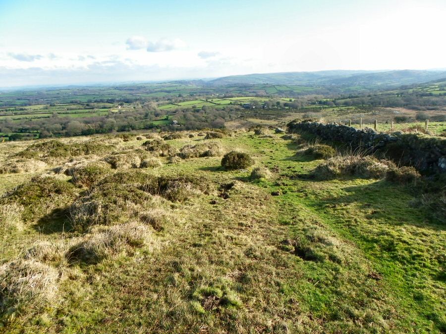
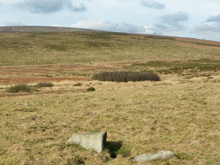
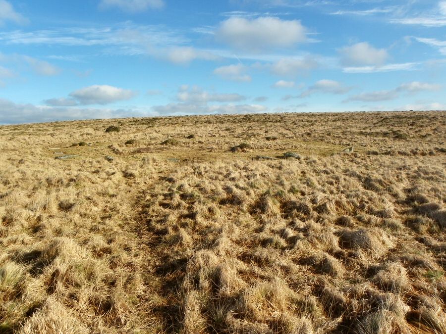
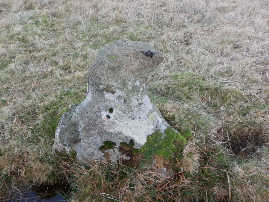
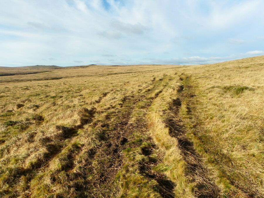
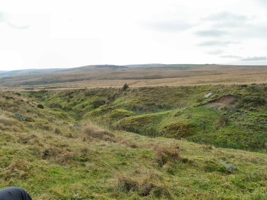
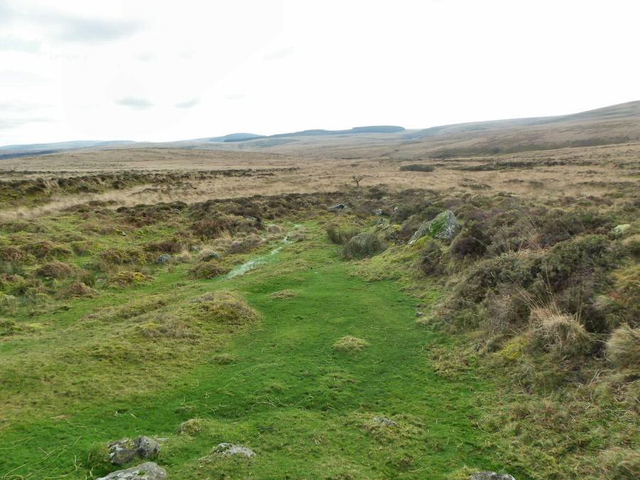
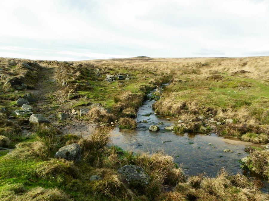
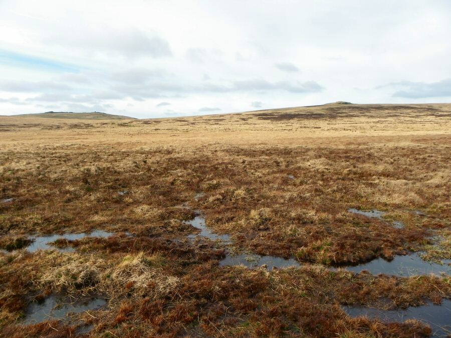
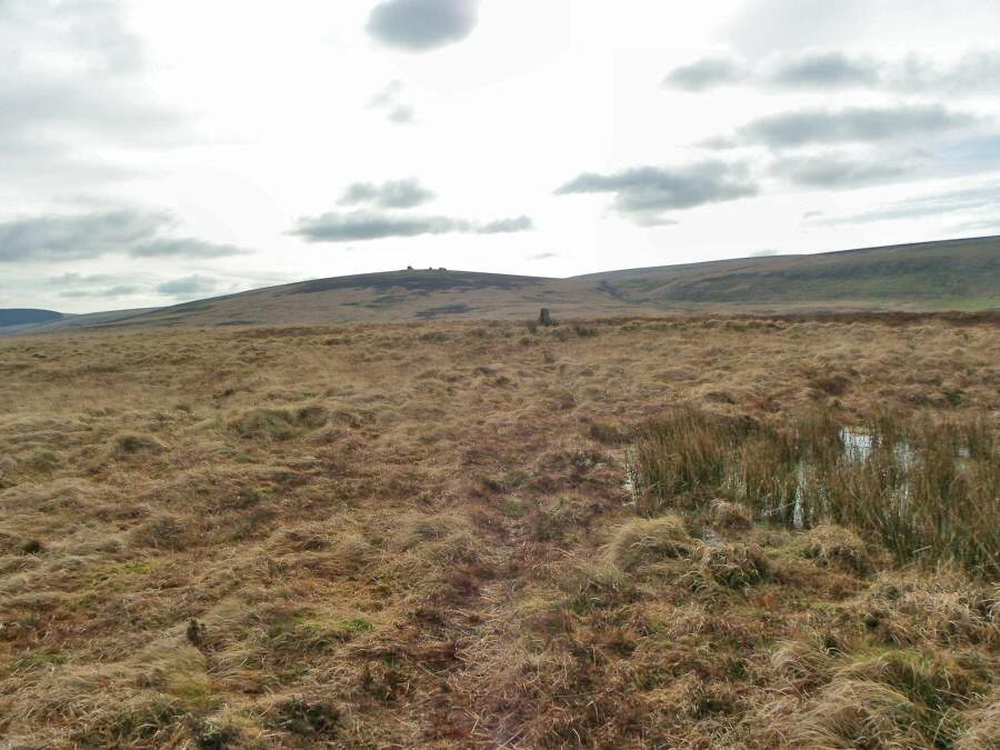
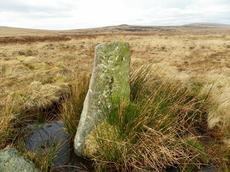
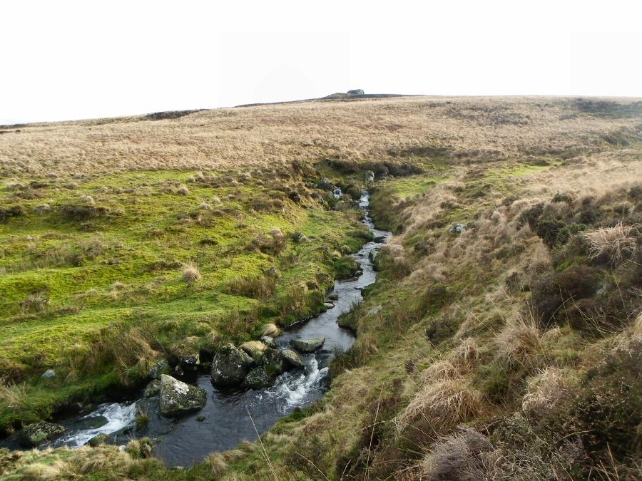
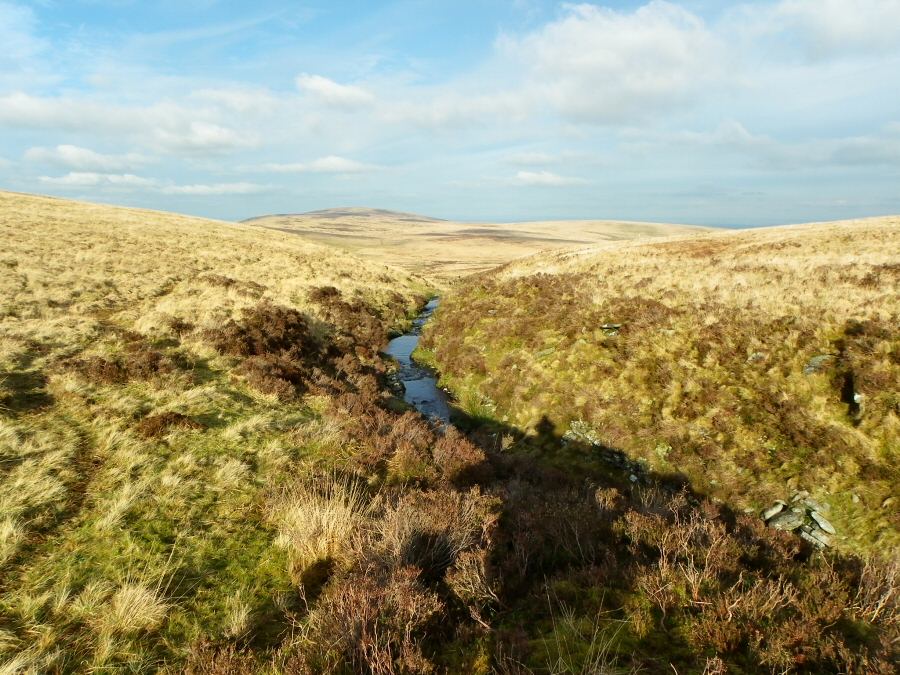
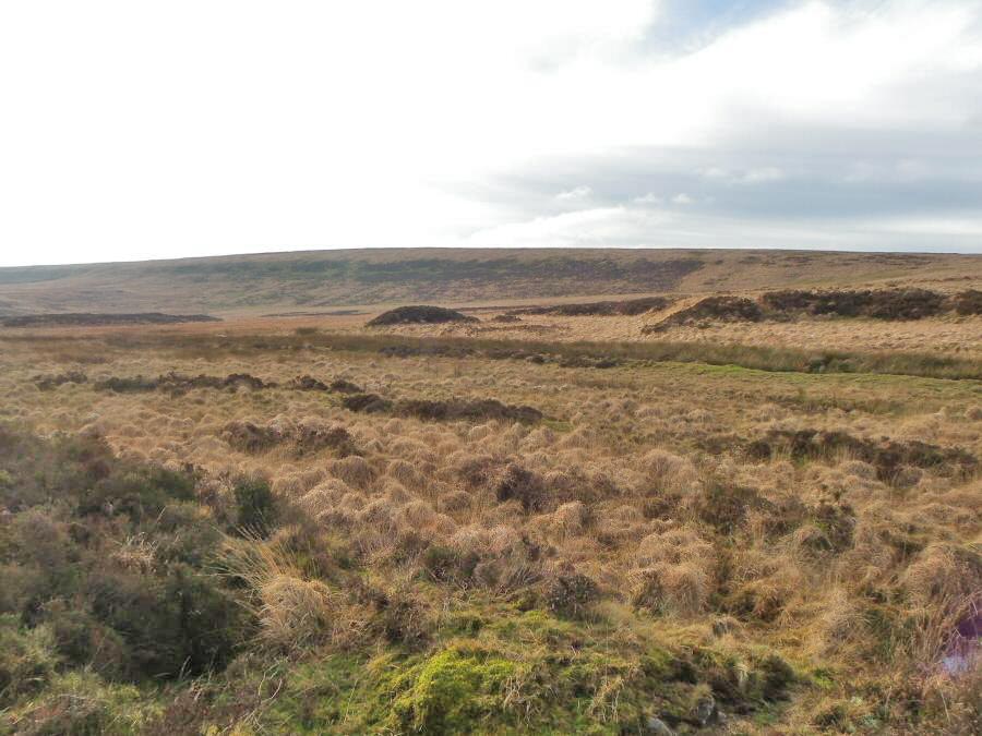
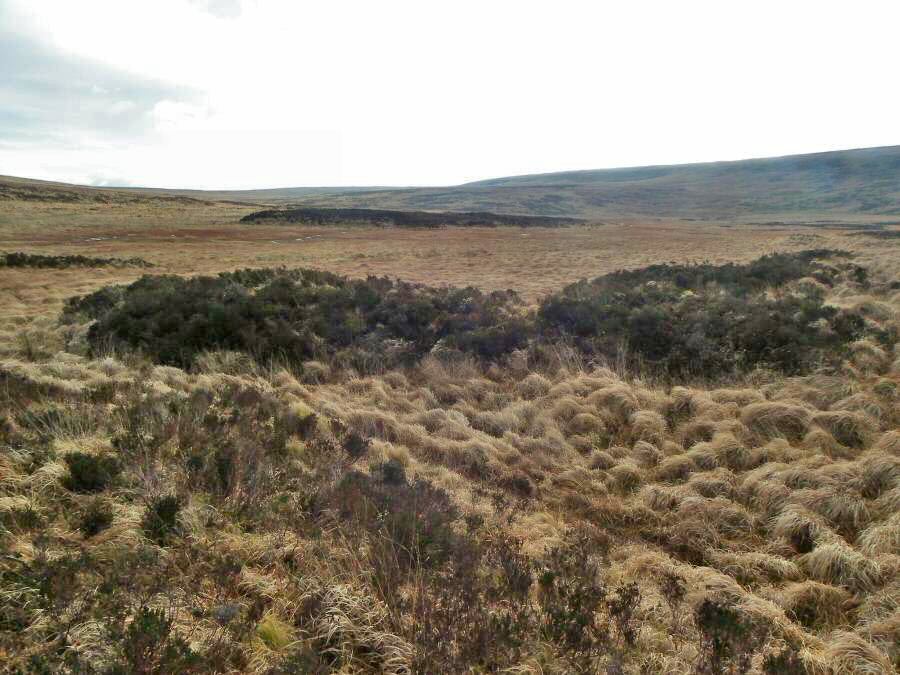
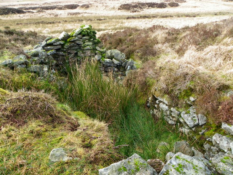
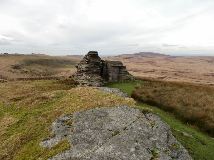
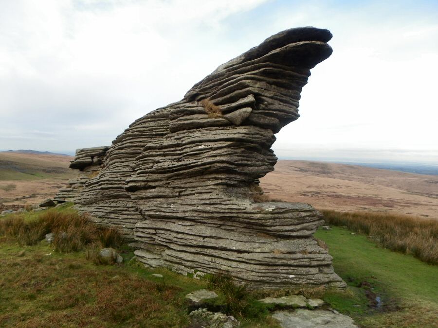
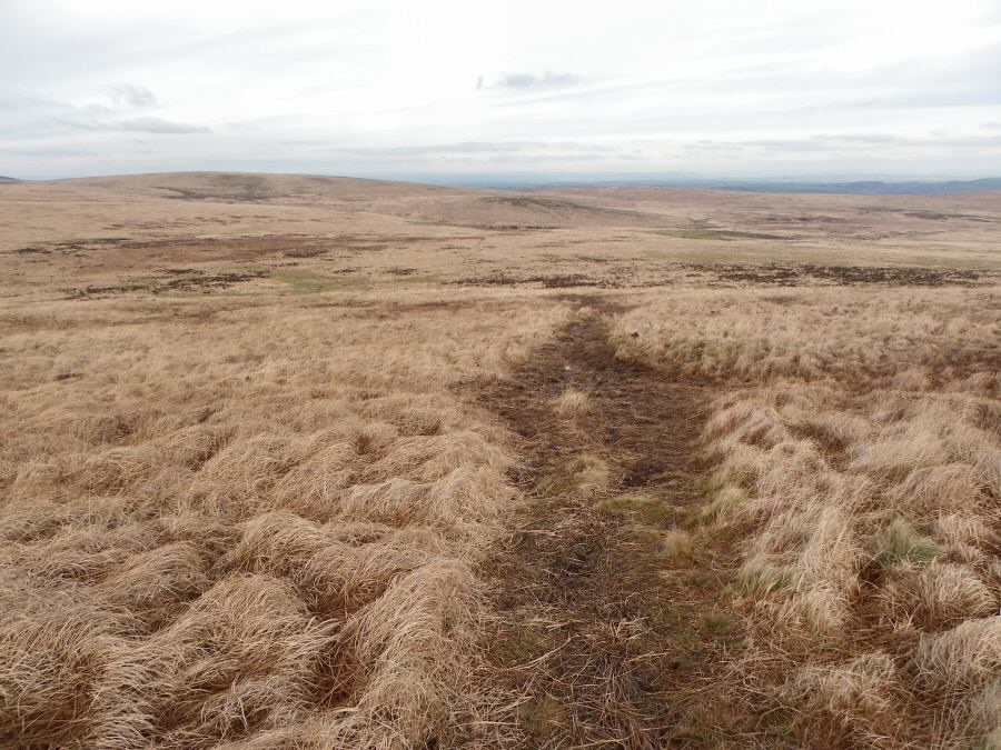
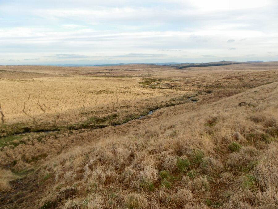
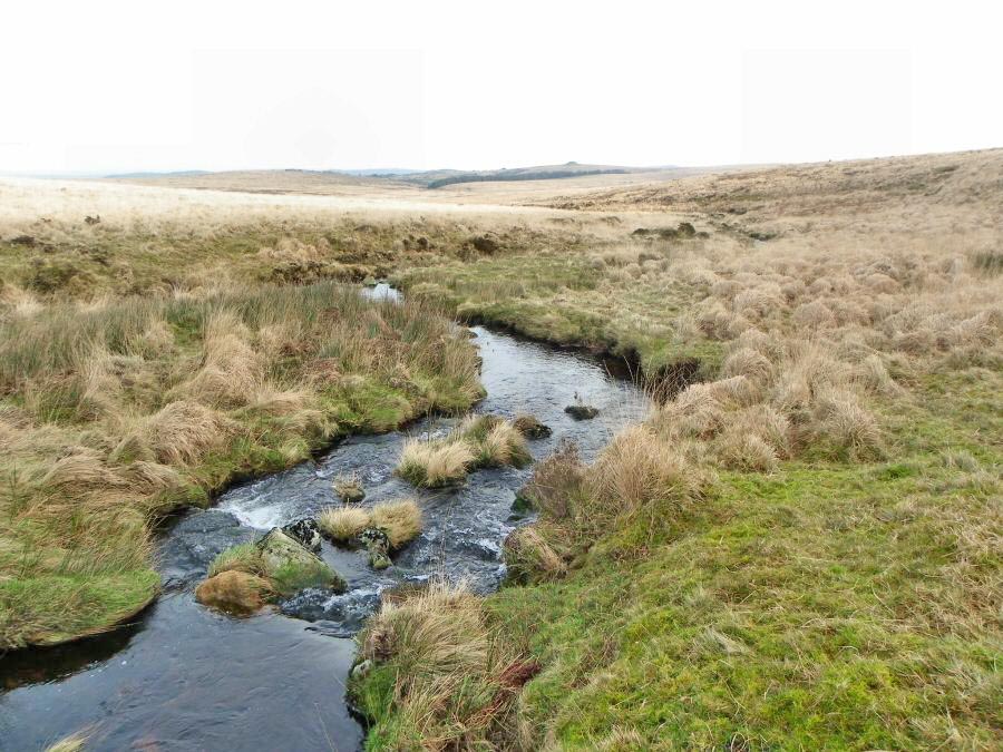
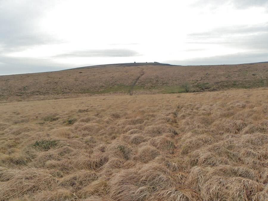
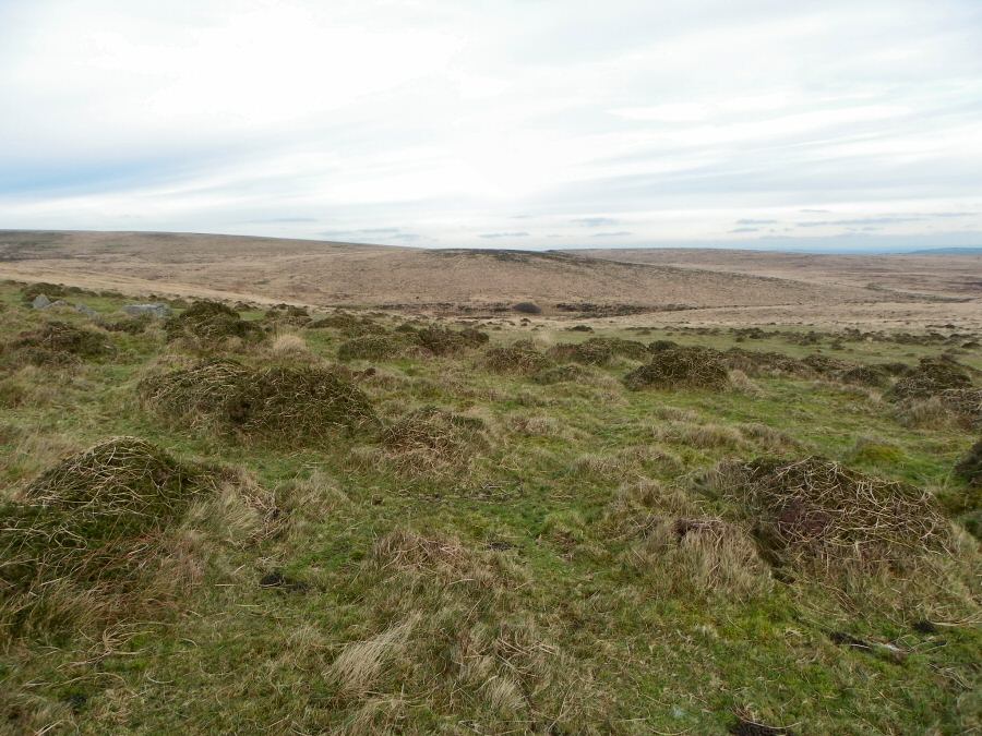
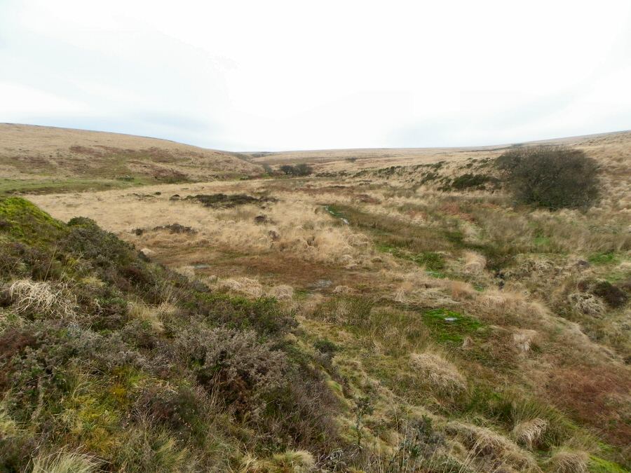
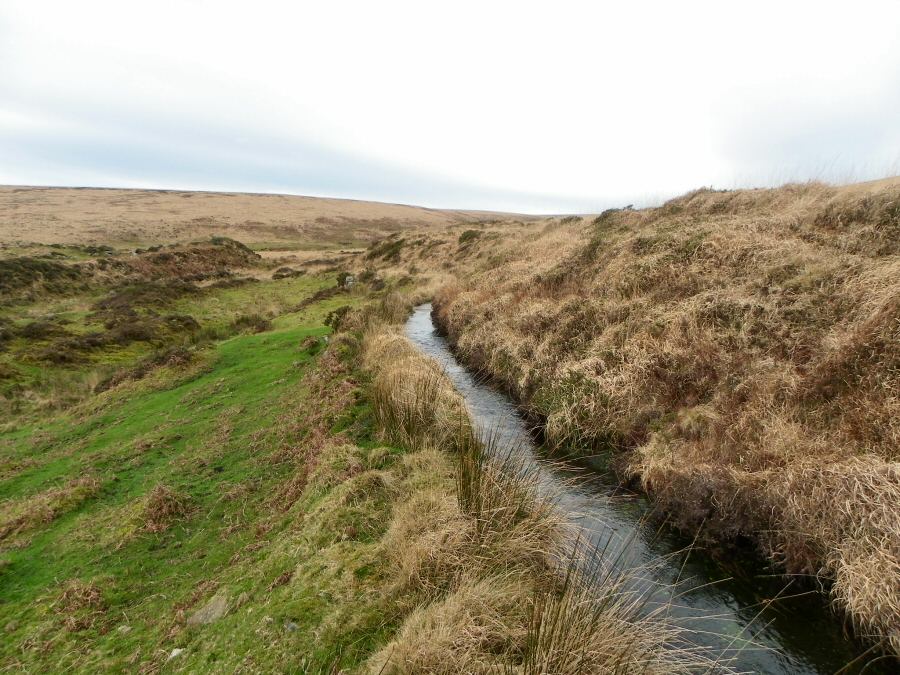
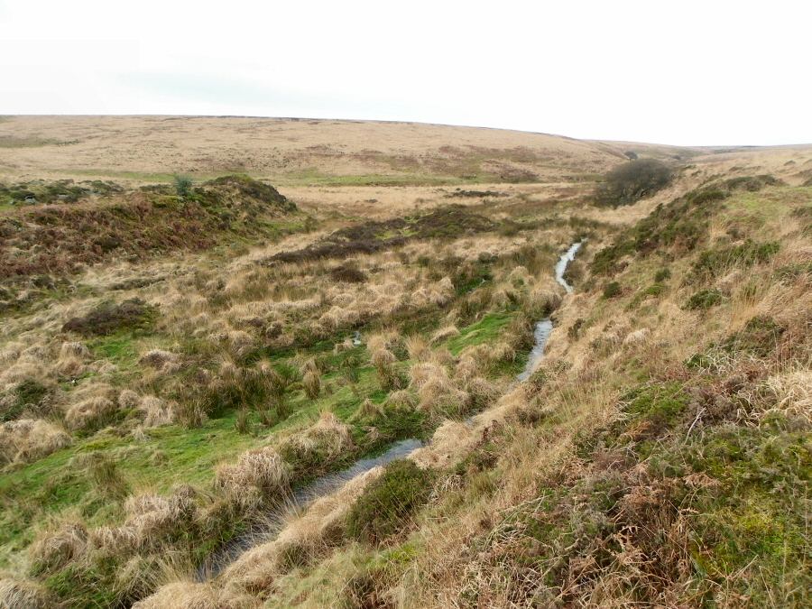
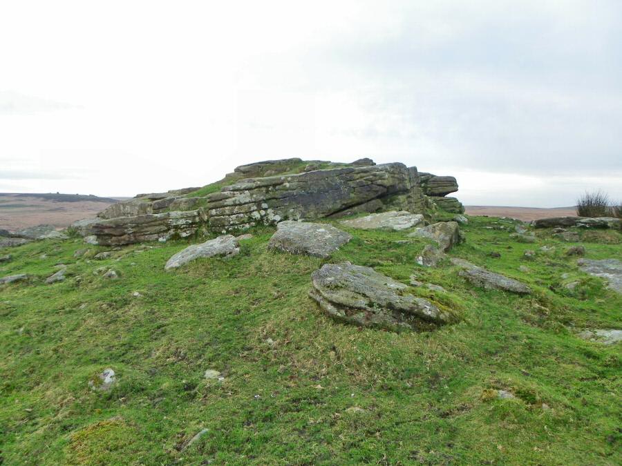
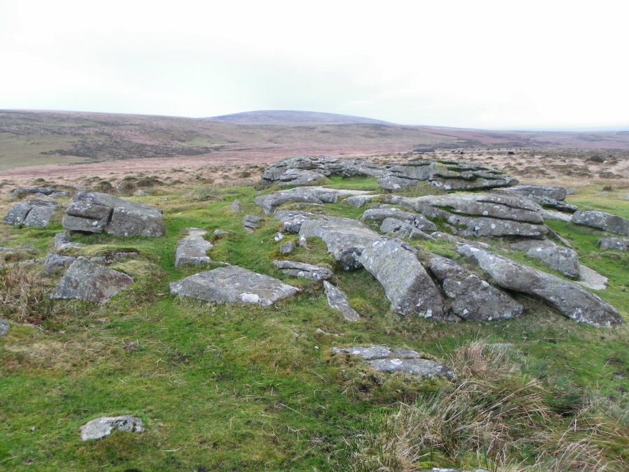
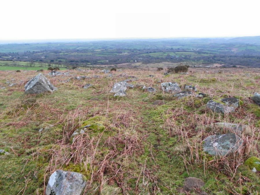
Watern CombeWatern Combe is a lonely place. It is a large shallow depression situated between Watern Tor and Hangingstone Hill. A mire covers most of it and from this combe emerges the Walla brook - a substantial tribituary of the Teign. Years ago people used the combe. There's the remains of tin working around the exit of the brook with two tinner's huts and good evidence of stonework walling up the banks of the brook so as to increase the flow of water (and help wash away the tin debris). Families also used to come and cut rushes for their houses. Nowadays apart from walkers (and the military) it gets pretty quiet. You are far from civilisation and even in Dartmoor terms it is isolated.Park off the road by Great Ensworthy (SX 659895). Take the track that leads up to Buttern Hill beside Buttern Farm. Then head over to the Sandy road that leads between Kennon Hill and Rival Tor. This will take you along an obvious path to Galleven Ford. Then head up over Headon - it's easy to lose the track here but as long as you don't head into the rather obvious Galleven mire then the ground is quite safe - and down to the bright green of Wildtor well. Then walk beside the Walla brook up the slope and into the coombe. The coombe is big and wet but you can walk around it on the slopes. Then head up to Watern Tor. From here take the obvious NE track down to Walla brook. The slopes of this valley are steep and the Walla brook is a substantial stream. Once over then carry on towards Rival Tor. You have to cross the Galleven stream and the leat which should be straightforward. Then up to Rival Tor and from there it's an easy walk back to Buttern Hill.Allow 5 hours for this moderate walk. The ground is mostly reasonable but take care of the Walla brook if there's been rain recently. Adapt your route if necessary. Watern Tor and Watern Coombe are within the military zone.
|
||||||||||||||||||||||||||||||||||||||||||||||||||||||||||||||||||||||||
All | Little | Shorter | Standard | Longer | Tors | Relics | History | Links | Panoramas | Home | ||||||||||||||||||||||||||||||||||||||||||||||||||||||||||||||||||||||||