All | Little | Shorter | Standard | Longer | Tors | Relics | History | Links | Panoramas | Home


The Upper Walkham

The upper Walkham valley is an isolated part of the high northern moor. The name Walkham may derive from Walla Combe. The river has also been known as the river Store. The upper Walkham used to be a major peat extraction area and there are still remains left of the peat workings. For example, there is an old sunken track that circles Lynch Tor that was used to take the peat down to Mary Tavy, there's the remains of a peat drying building and there are many marks on the hillsides of where the peat was taken.
Park by Holming Beam (SX 591765), walk up the track and take the left track that leads to Black Dung hill. Go over the hill and make your way up the valley, crossing the Black brook on the way. Join the prison leat and walk up the leat until you get to Sandy Ford. Cross the Walkham and get to Wheal Prosper (a good food stop) and then make your way towards Lynch Tor via the grassy expanse of Stooky Moor. From Lynch Tor head east, cross the Walkham and walk up towards Walkham head. Then SE over the high plateau towards Cowsic head. Make south towards Beardown man, Lydford Tor and then back to the Holming Beam car park.
This is a 9 mile walk that takes in part of the high fen. There is some rough walking on the main plateau but despite heavy rain before the described walk took place in February - conditions were pretty good. The army practices around here so watch out for military restrictions. Most of all - be careful of the weather in this exposed and lonely part of the moor.
 
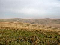
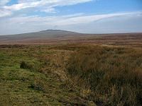
The view from Holming Beam car park towards the Cowsic valley.
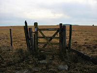
The gateway that starts us on the moor proper.
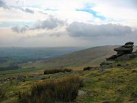
The west view from the slopes of Black Dunghill. Great Mistor on the horizon.
Another view from Black Dunghill. It's more colourful than the name suggests.
SX 579777 - Blackbrook. Great Mistor on the horizon.
Walking up the Walkham valley beside the prison leat.
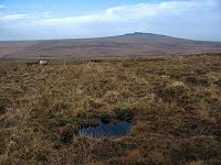
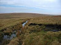
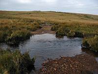
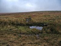
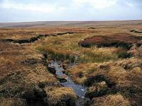
You don't want to step into that! A feeder steam in the Walkham valley.
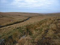
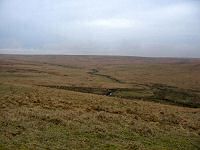
The northern view of the Walkham valley from SX 575787.
An unusual round arch bridge over the leat. This was made by prisoners from Dartmoor prison which accounts for the "non Dartmoor" style.
Sandy Ford - the Walkham / Lich Way ford at SX 573792. The excavations of Wheal Prosper are on the hillside in the background.
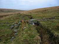
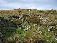
Some of the ruins of the ill fated Wheal Prosper tin mine at SX 573794. These look to be accommodation blocks or maybe offices.
The view down the Walkham valley from the remains of Wheal Prosper.
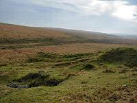
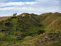
Some of the excavations made at Wheal Prosper.
Spriddle Lake - a tribituary of the Walkham.
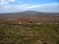
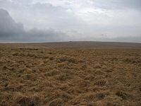
Approaching the distant points of Limsboro cairn and Lynch Tor via the grassy wastes of Stooky moor. This could get to be awkward walking when the grass starts growing. Stooky is named after the stooks or stacks of peat that were stored near here whilst awaiting transportation.
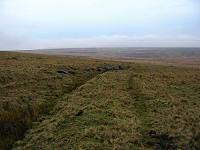
A view of the Black Lane - an old peat track used to transport the peat from off the moor.
Limsboro Cairn (SX 565805) which is an ancient landmark and a modern military postition.
Lynch Tor with Standon Down behind on the horizon.
Another view of Lynch Tor. Lynch is the old word for a sunken track and the Black lane runs around this tor.
The Turf House - an old peat store at SX 569809.
The ford over the upper Walkham at SX 572806. All around are the remains of the old peat diggings.
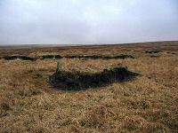
An example of one of the many peat exposures in the upper Walkham.
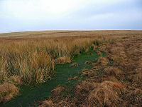
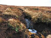
Walkham head - SX 580810. This is an excellent example of water draining out from the sodden peat of the upper fen. The water has carved a distinct channel through the peat.
The downstream view from Walkham head.
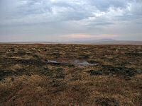
The plateau of the upper fen that lies between Walkham head and Cowsic head.
Fur Tor and Cut Hill in the distance as seen from the plateau of the upper fen.
Cowsic Head - SX 594805.
Another view of Cowsic Head.
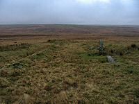
Approaching the menhir of Beardown Man. Devil's Tor on the left.
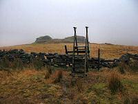
The steps leading to Lydford Tor.
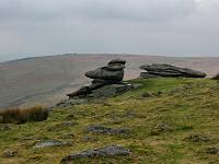
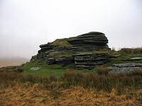
A closer look at the main pile of Lydford Tor.
Looking north up the Cowsic valley from the wooden bridge at SX 595770. 


All | Little | Shorter | Standard | Longer | Tors | Relics | History | Links | Panoramas | Home