All | Little | Shorter | Standard | Longer | Tors | Relics | History | Links | Panoramas | Home
|
||||||||||||||||||||||||||||||||||||||||||||||||||||||||||
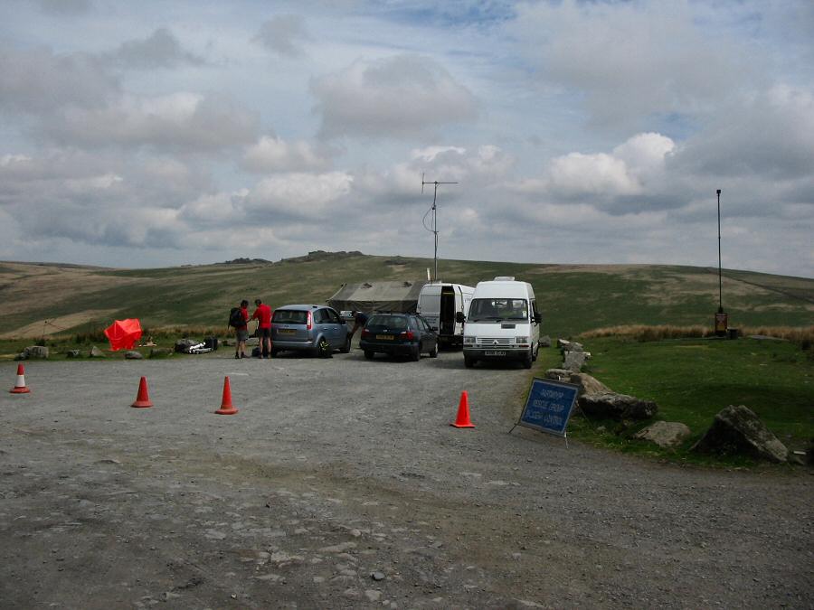
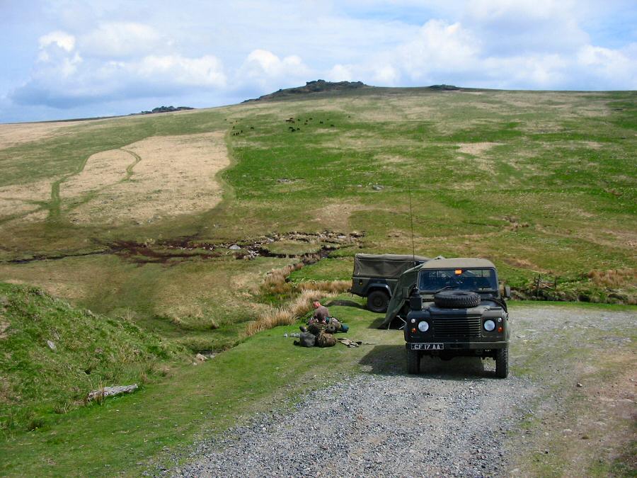
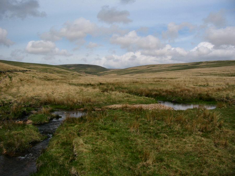
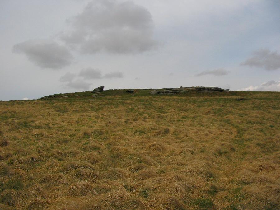
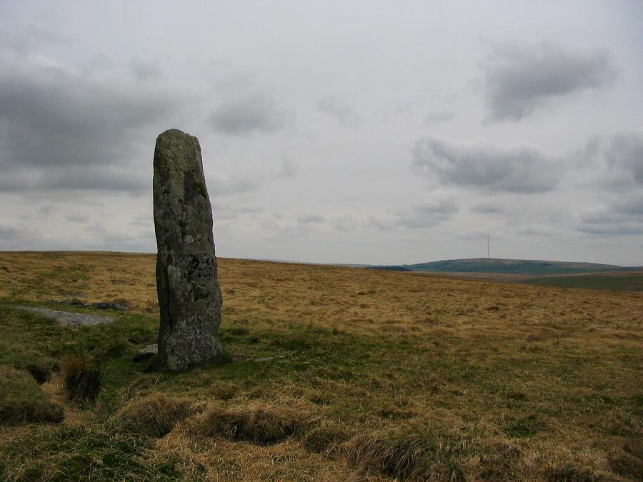
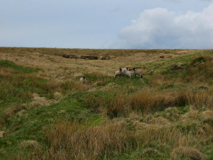
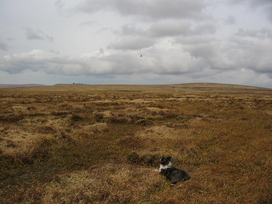
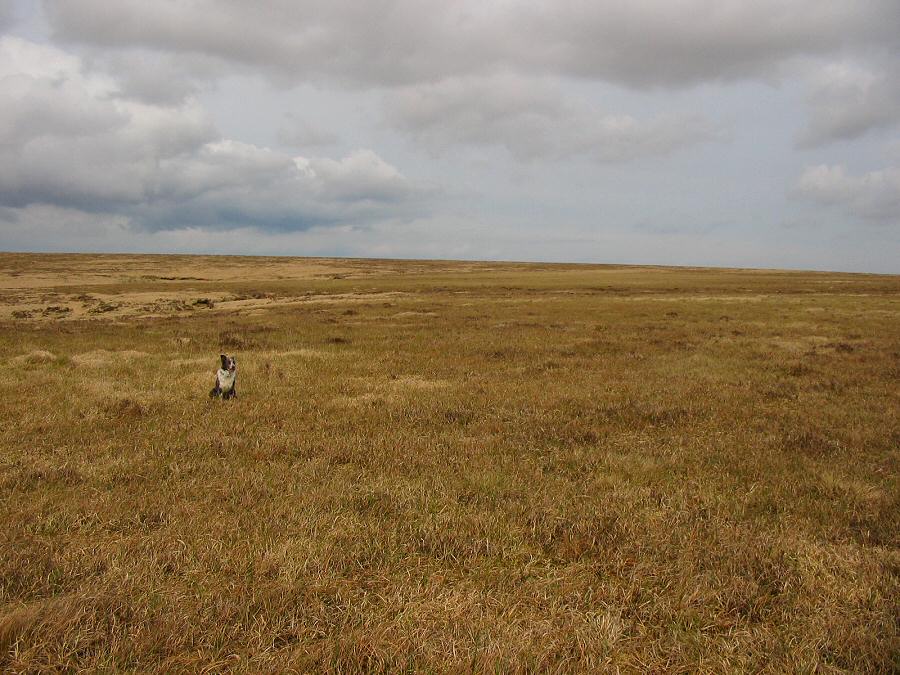
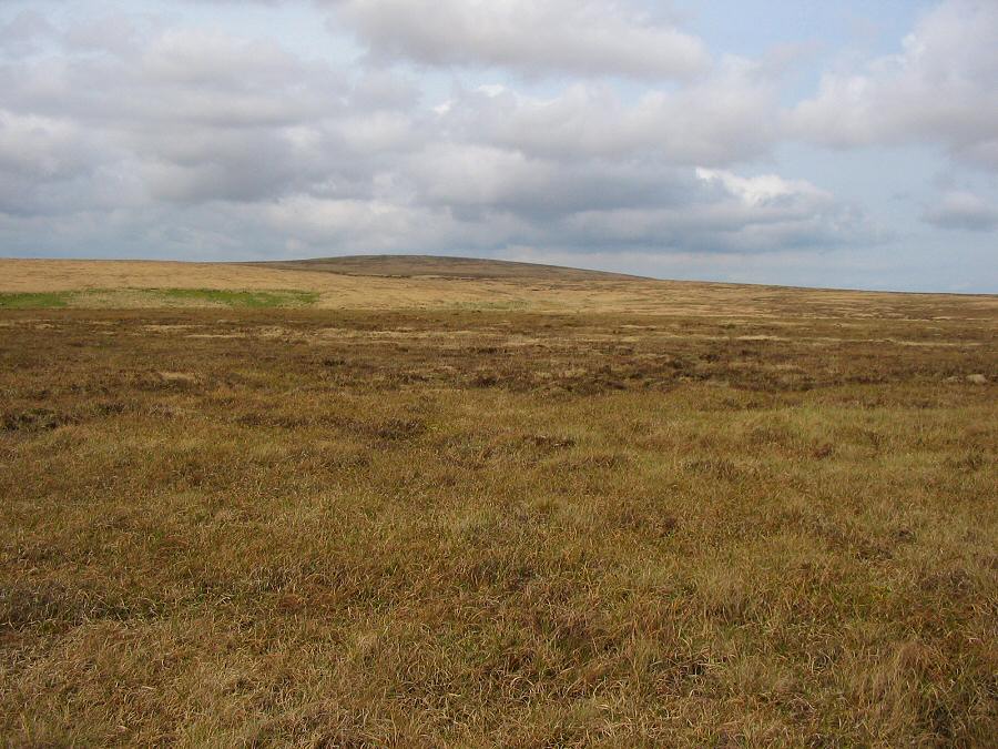
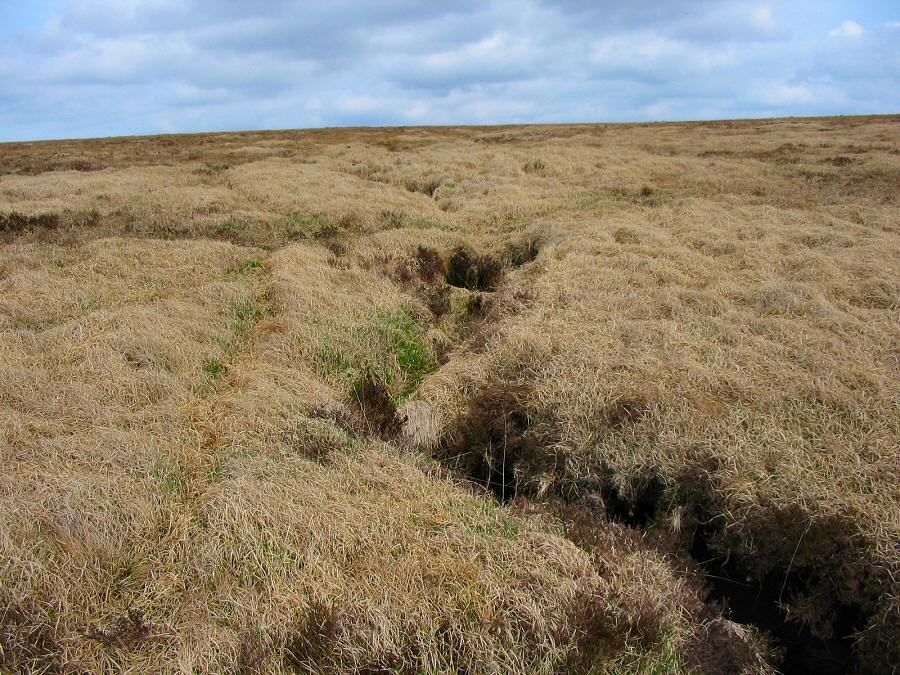
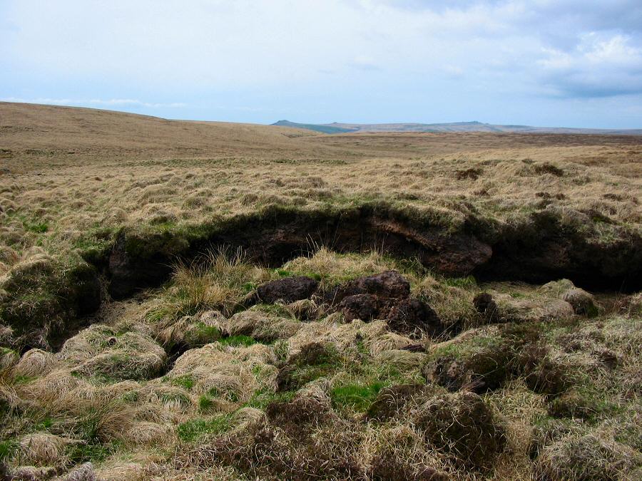
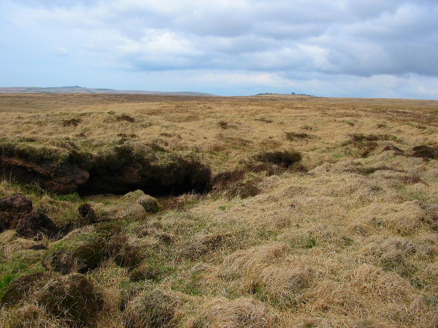
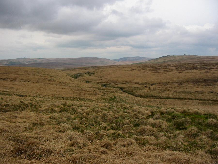
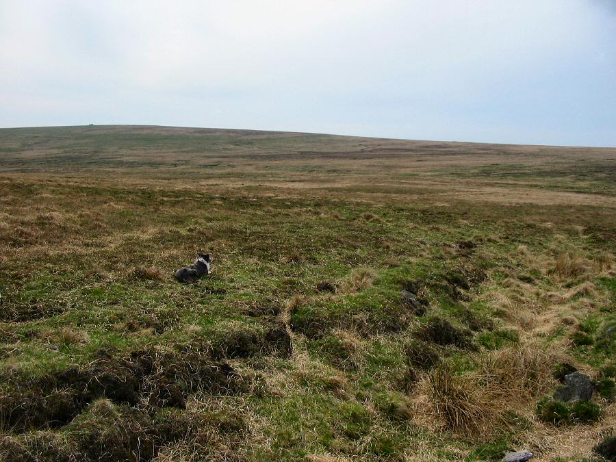
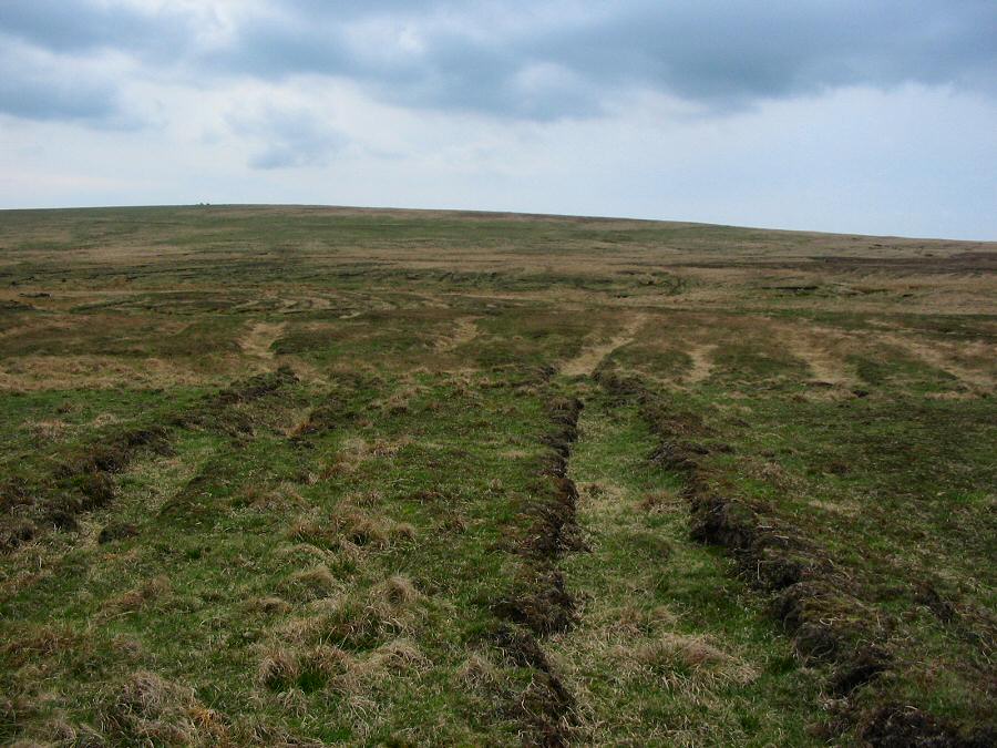
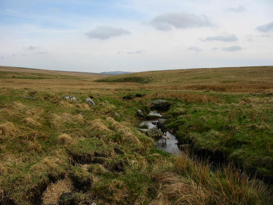
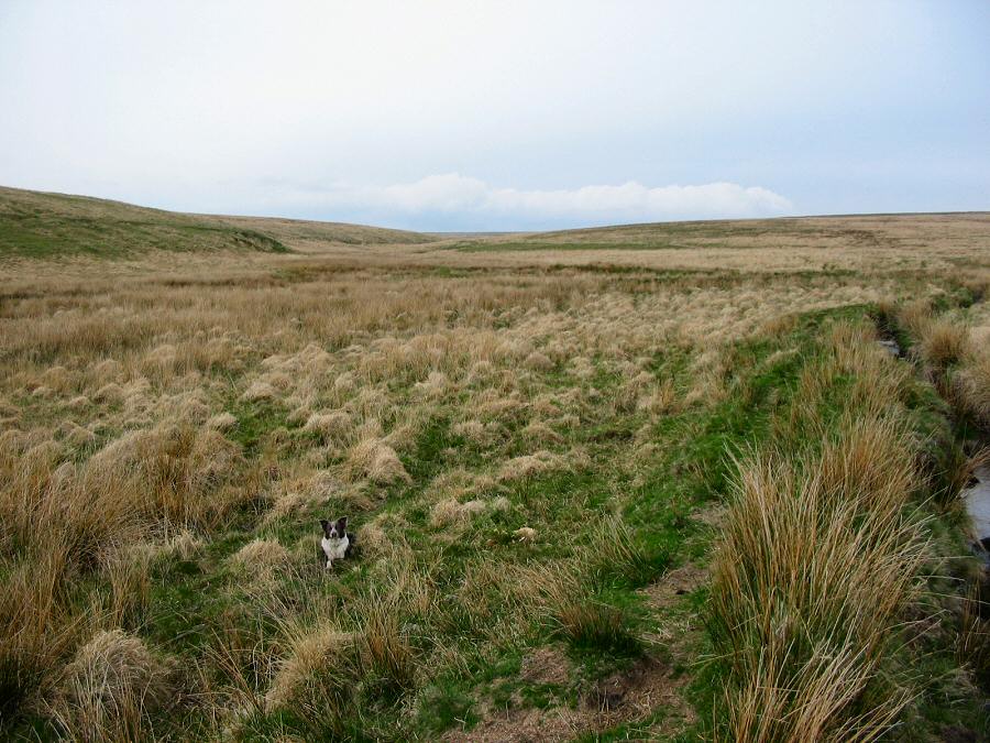
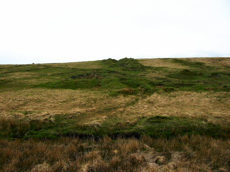
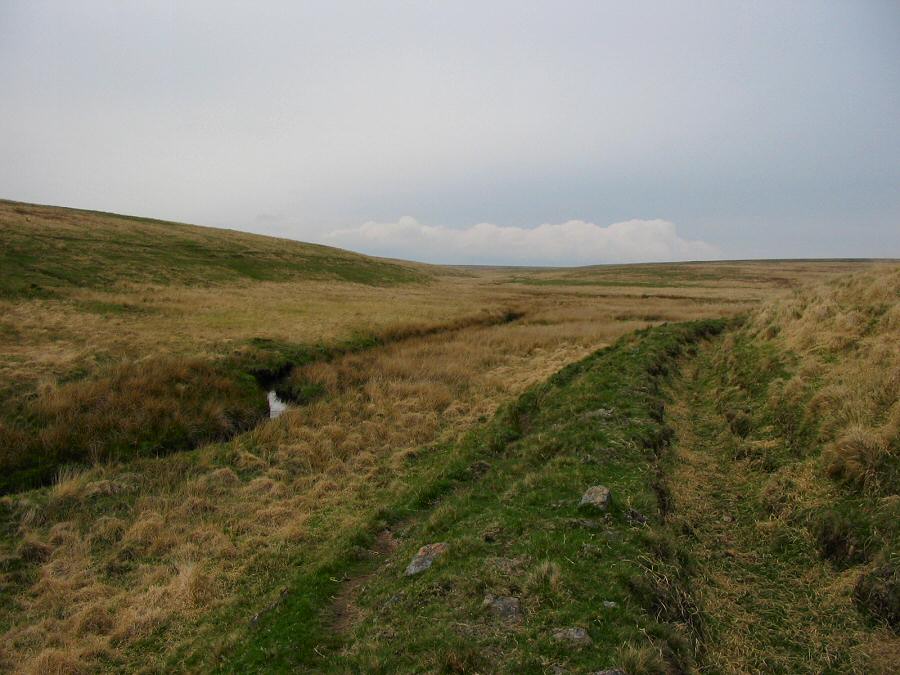
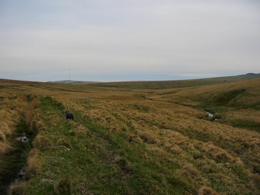
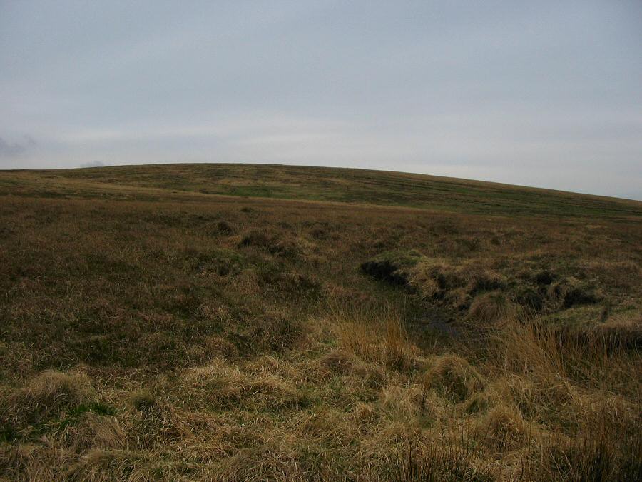
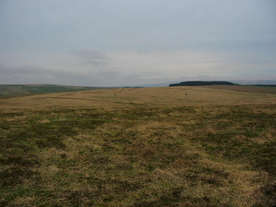
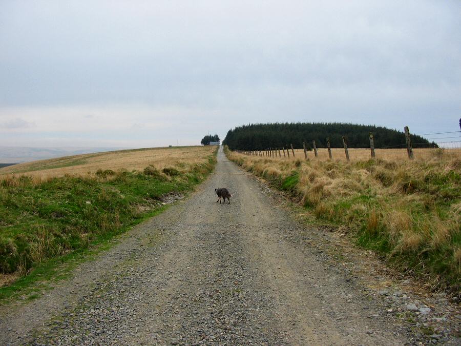
South Tavy HeadSouth Tavy Head (SX 595810) is one of the most isolated parts of the northern moor. The ground is peat hag ridden which makes it difficult walking country. The South head is one of the Tavy tribituaries and it is fed by the wet blanket bog that covers the plateau. The area covered by the head is surprisingly extensive and is shared with other river heads such as the West Dart, the Cowsic and Walkham. On a sunny day the area is alive with butterflies, larks and so forth. There's even badger setts around. But on a windswept drizzly day conditions would be something else, and South Tavy head in a force 9 gale would be really horrendous.Park by Holming Beam (SX 591765), walk up the track, and turn right down a short steep track towards the Cowsic. Cross over the wooden bridge and head up towards Beardown Tors but follow the track keeping Lydford Tor on your left. Cross over a stile and walk along the topside of the Methern valley. Walk north towards Devil's Tor. Here you'll find the Beardown Man. Carry on north following the line of the Cowsic. The ground now gets more awkward as we approach serious fen country. Go past Cowsic head and you're suddenly on the plateau with bad ground and good views. Head north and you'll see the wilderness of Tavy Head. Follow the contours wetward along the emerging stream until you get to a more solid hillside overlooking the start of Tavy Hole. Then head south over the plateau until you get to the Walkham valley. Follow the valley down until you get to the confluence with Spriddle Lake. Then walk beside the prison leat until it sweeps off towrds Mistor Marsh. Climb up the low slope of Black Dunghill and then walk back to the car park.In good weather this walk is excellent - although not one to take lightly. If bad weather hits then this walk could quickly become a real problem. Map and compass are essential - you'll probably need to use the compass even in perfect visibility around Tavy Head. Most of the area is in a military range.
|
||||||||||||||||||||||||||||||||||||||||||||||||||||||||||
All | Little | Shorter | Standard | Longer | Tors | Relics | History | Links | Panoramas | Home | ||||||||||||||||||||||||||||||||||||||||||||||||||||||||||