All | Little | Shorter | Standard | Longer | Tors | Relics | History | Links | Panoramas | Home
|
||||||||||||||||||||||||||||||||||||||||||||||||||
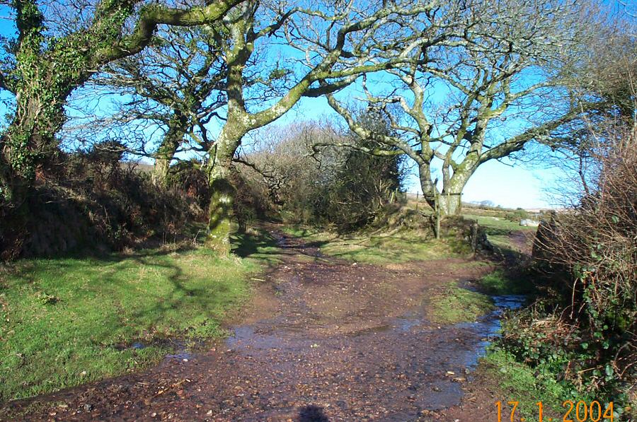
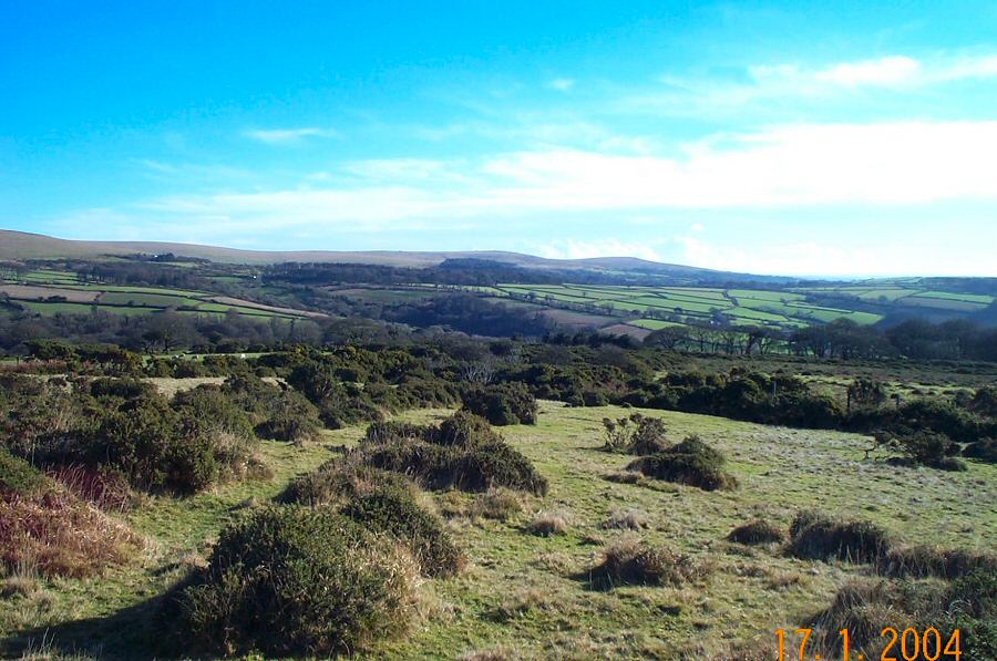
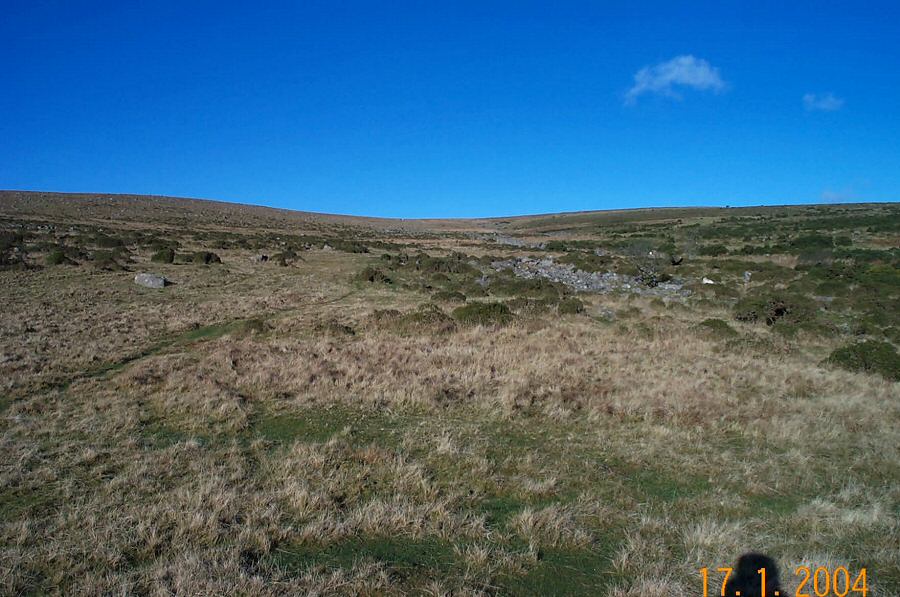
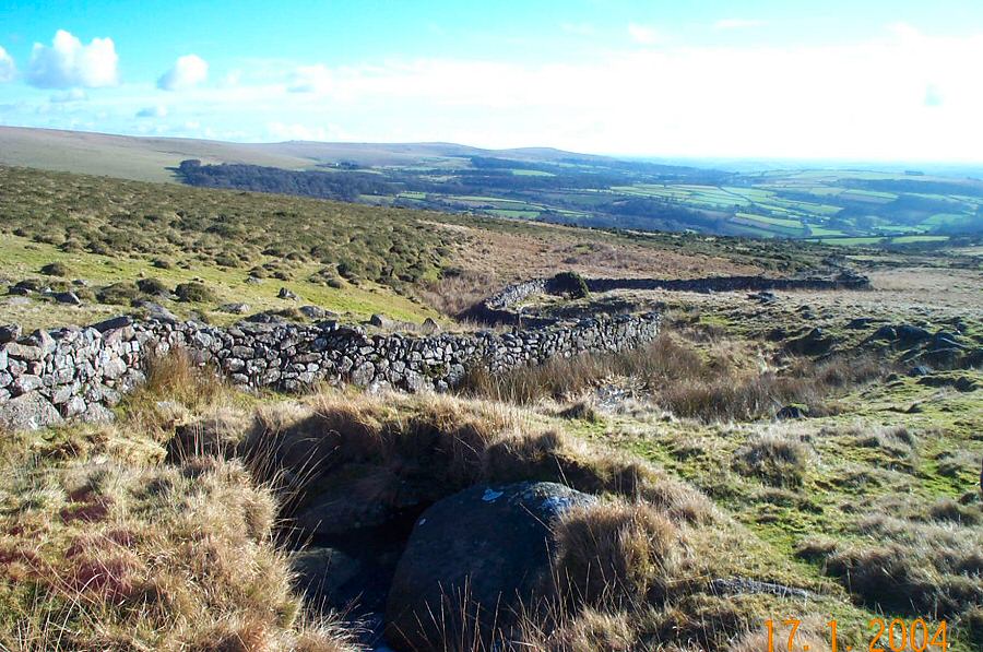
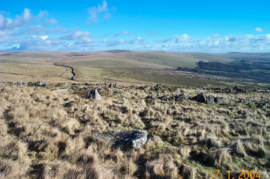
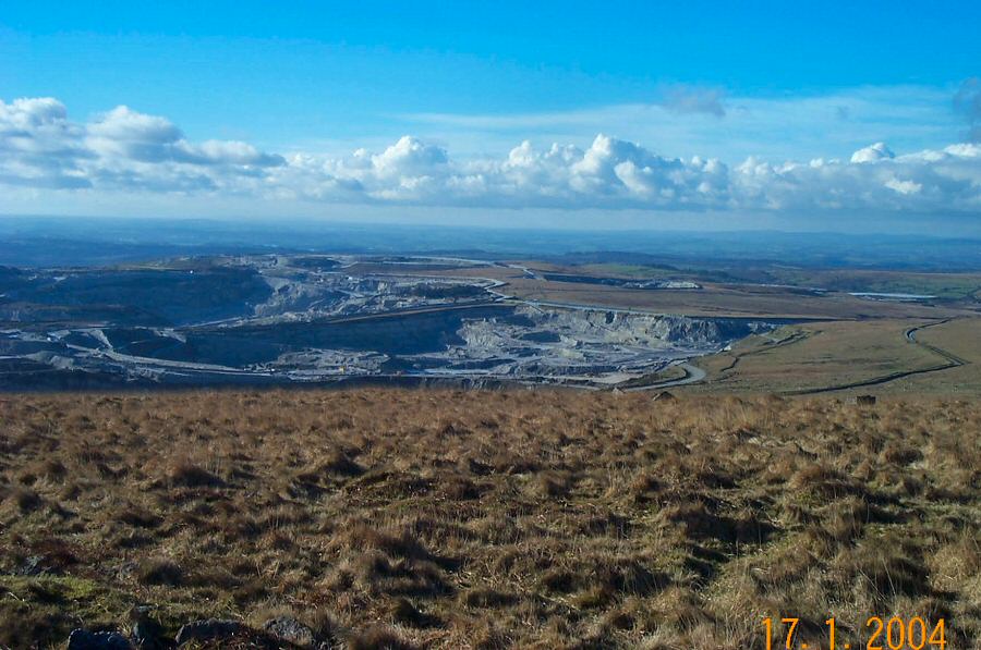
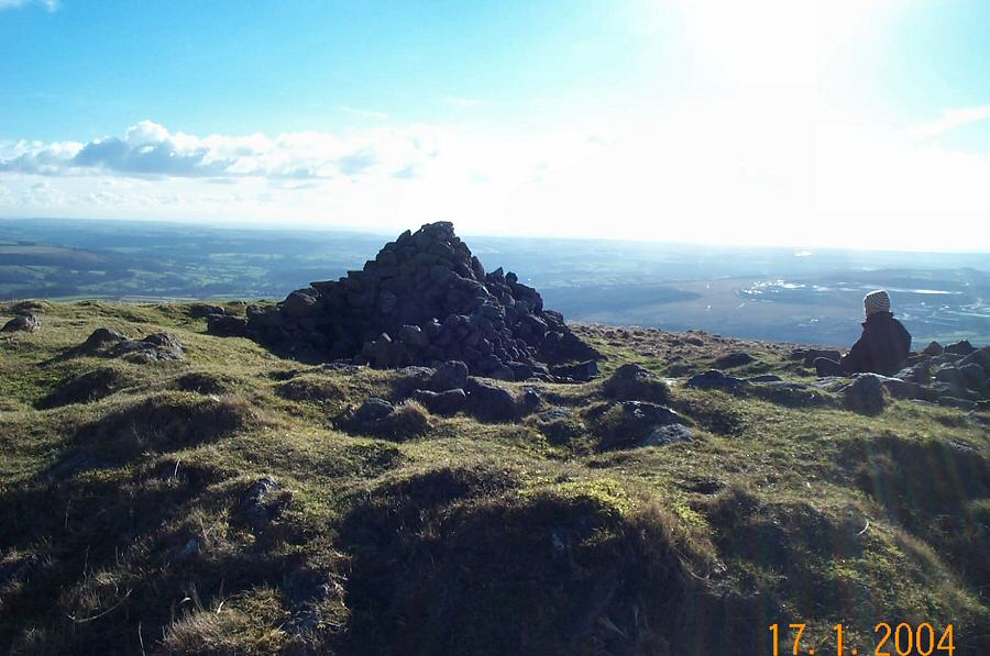
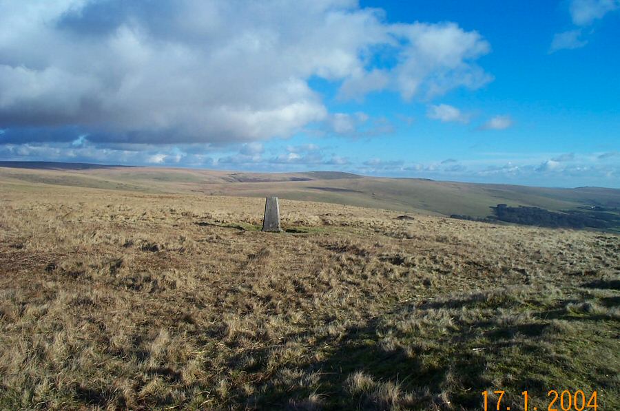
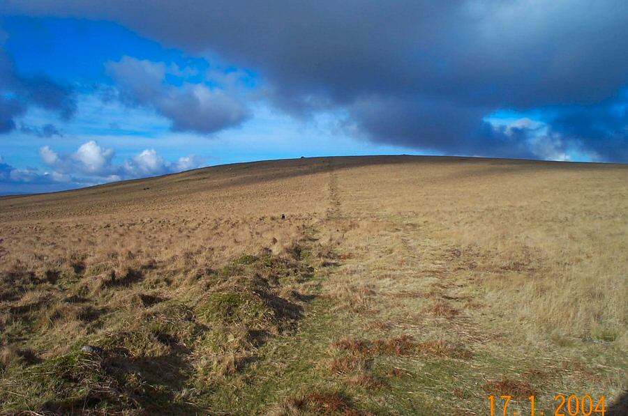
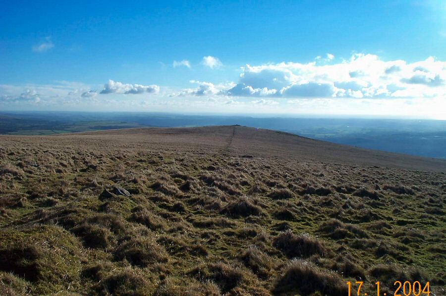
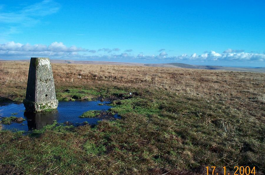
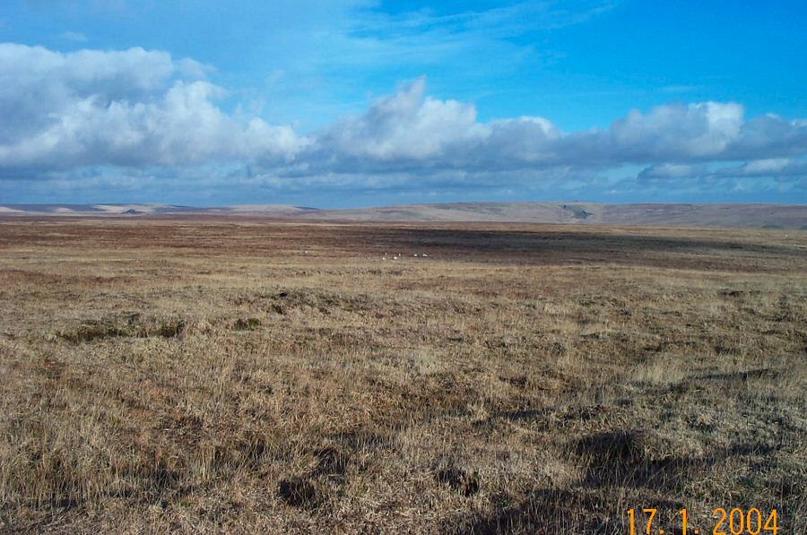
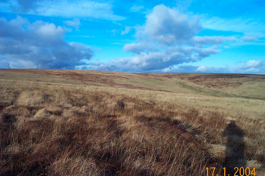
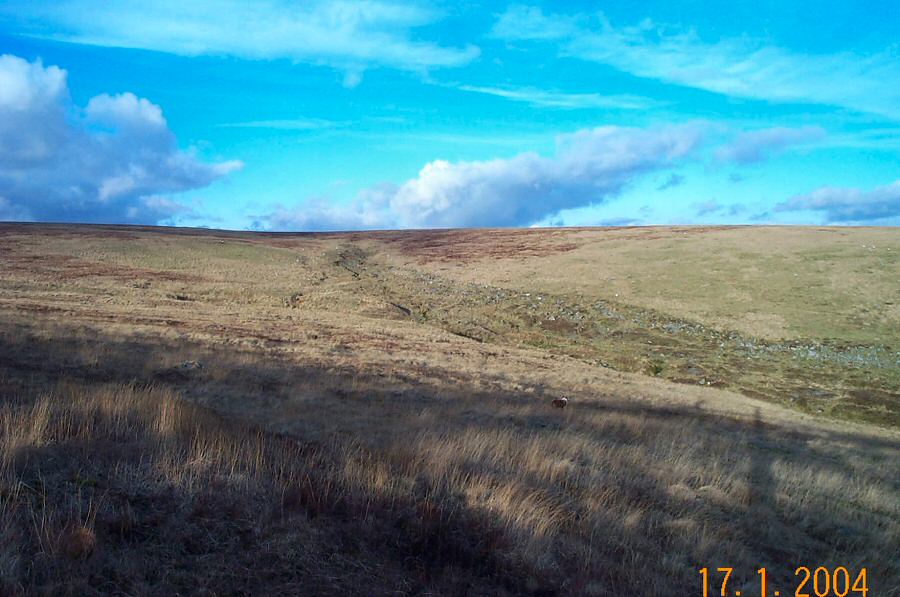
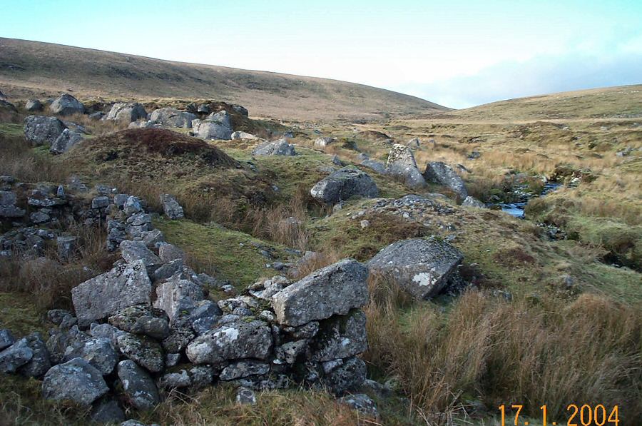
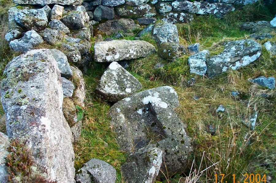
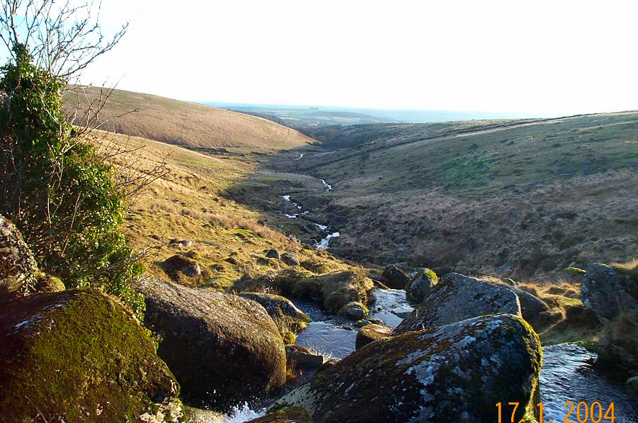
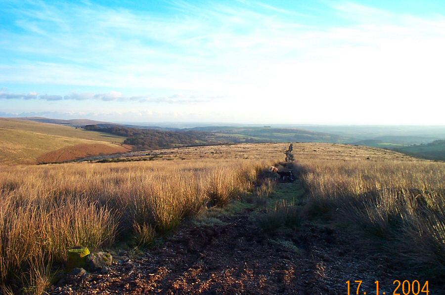
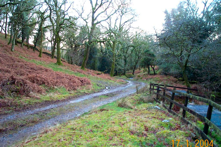
Shell TopShell Top is a conspicuous landmark of the SW part of Dartmoor. It lies above Plymouth and can easily be seen from Plymouth Sound and the channel beyond. Shell probably derives from the earlier name of Shiel or Shill. Shell Top is reasonably easy to get to and along the way you can pass by Penn Beacon which gives a birds eye view over the china clay pits of Lee Moor and Plymouth beyond. From Shell Top the wastes of the southern moor are very accessible.Park beside the lane (SX 607613) that leads to East Rook Gate (note that there's only room for a couple of vehicles here). Walk up the lane to the Gate, turn right and proceed to the Ford valley from where the way up to Highhouse Corner is obvious. At the corner turn left and follow the line of the reave that will take you to Penn Beacon. Admire the views and then walk north to Shell Top. Then NE along the plateau to Shavercombe Head - the ground is a bit rougher but not bad. However, it gets wetter from here down to the Yealm Valley. Yealm head drains a large area so it's a surprise when the unseen valley suddenly appears. Contour down the Yealm valley to the waterfall at Yealm Steps. We returned back via Dendle's waste and Wood, but you may prefer to return via Highhouse waste.Allow 4 hours or more for this 7 miles walk. It isn't a difficult walk, but as the photos show we did it on a beautiful sunny day. There's some wet ground around Shavercombe Point, and there's some private ground around Dendle's Wood which isn't always open for access. No army training grounds around.
|
||||||||||||||||||||||||||||||||||||||||||||||||||
All | Little | Shorter | Standard | Longer | Tors | Relics | History | Links | Panoramas | Home | ||||||||||||||||||||||||||||||||||||||||||||||||||