 |
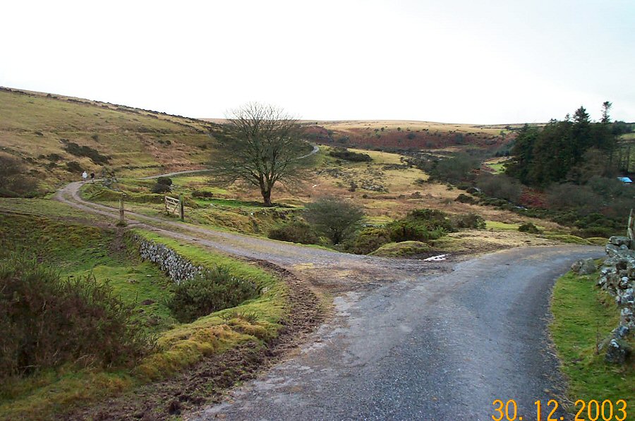
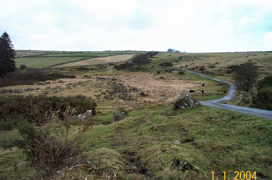
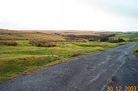
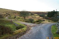
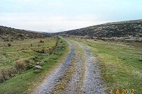
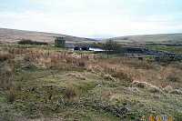
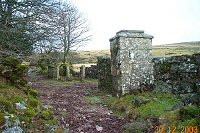
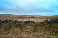
The road at Gobbet Plain (SX 647728). There's room for about
8 cars on the right (out of sight in the photo). Royal Hill is
on the horizon to the west.
|
 |
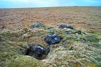
One of the tin mine adits that leads down to Gobbet Plain.
|
 |
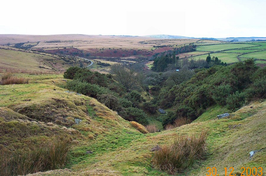
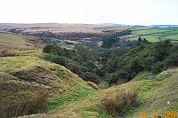
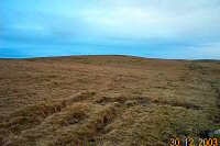
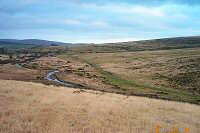
Gobbet Plain - the site of two tin mills. The most obvious remains
are those of a tin mine that was active in the 19th century. Many
adits, openworks and shafts were built. There are also less obvious
relics from a medieval "blowing house". The road on the right leads
to Sherberton Farm. We take the left track which leads to the Swincombe
valley and allows us to look more closely at the tin mines.
|
 |
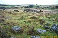
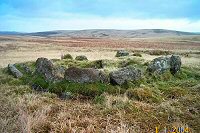
Remains of a buddle from the 19th century tinworks. |
 |
More remains from the 19th century tinworks. |
 |
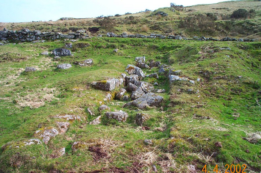
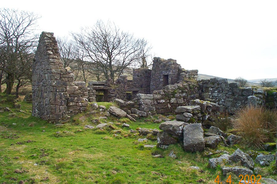
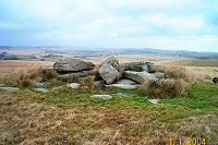
A view of the medieval tin mill with the site of the
19th century tin mill behind.
|
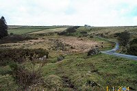 |
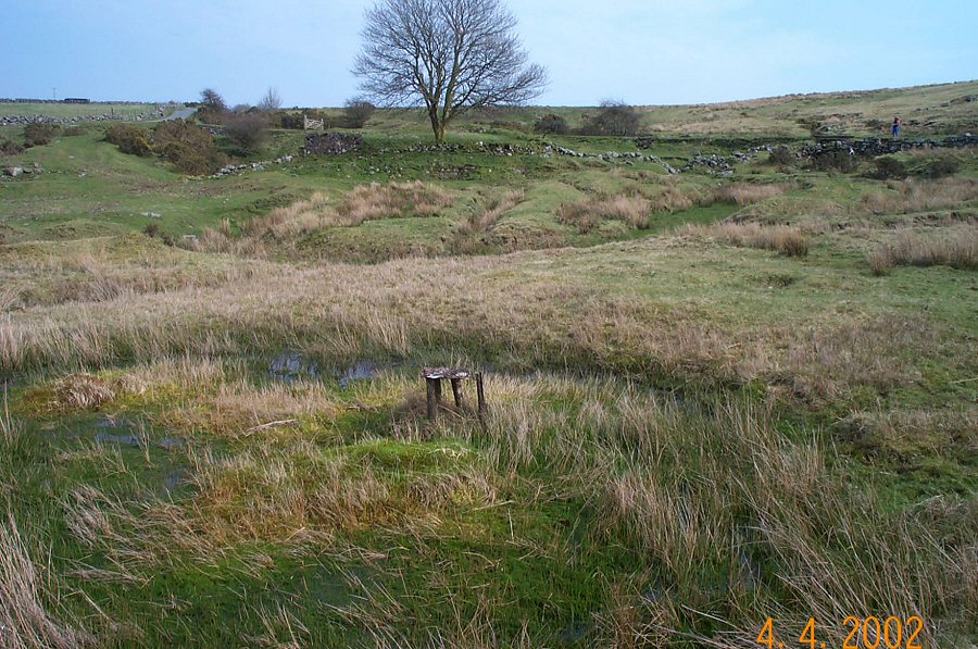
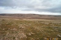
A view over the whole Gobbet tin site - 645728. The photo is
taken from the remains of the leat that used to power the old crazing
mill, stamps and furnace. On the right is the Swincombe valley
track.
|
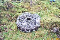 |
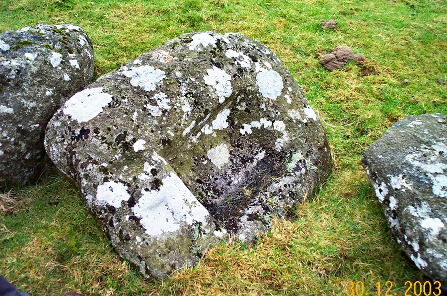
One of two millstones used to grind tin ore. This was
the lower one and was used in a "crazing
mill". Gravel would have
been ground into sand before it was ready for smelting.
|
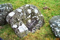 |
A mouldstone that was used to create tin ingots. There are 2
smaller moulds incised to the left of the main mould.
|
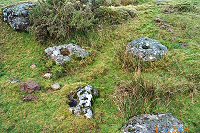 |
Two mortarstones and another millstone. This was the upper mill
and you may see four smaller holes that were used to position the
drive mechanism that rotated this stone. This was probably a set
of cranks driven by animal power.
|
 |
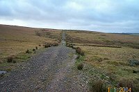
The track that goes up the Swincombe valley to the reservoir. |
 |
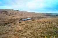
The Swincombe valley reservoir. The track stops here so we
retrace our steps and cross the river by the wooden bridge. |
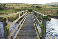 |
The bridge over the Swincombe. This used to be known as the Fairy
Bridge. To the right there is the original ford. The bridge was
originally built in 1892 to help the miners who worked at nearby
Hooten Wheals.
|
 |
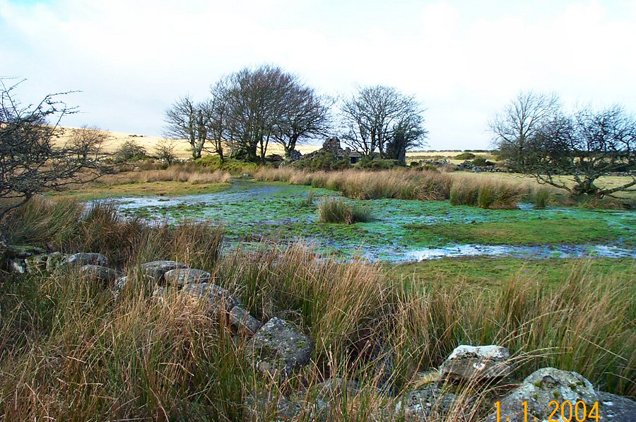
Looking towards John Bishop's house from the bridge. As you see
there is some wet ground between us. Maybe that was one reason
why the well built house was abandoned.
|
 |
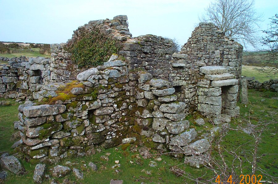
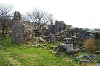
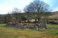
John Bishop's house - SX 640726. Originally built in 1821, it
was used by a robust and hard working Dartmoor settler who died
in 1892. This house has only become dilapidated quite recently.
In 1968 it still had a roof.
|
 |
Another picture of John Bishop's house. It is also known as
Lower Swincombe Farm or Swincombe Ford Cottage. |
 |
An impressive gatepost of Upper Swincombe Farm. This post marked
the eastern boundary of Tyrwhitt's Tor Royal estate.
The buildings were once used as a fishing retreat.
|
 |
The ruins of Higher Swincombe Farmhouse.
|
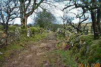 |
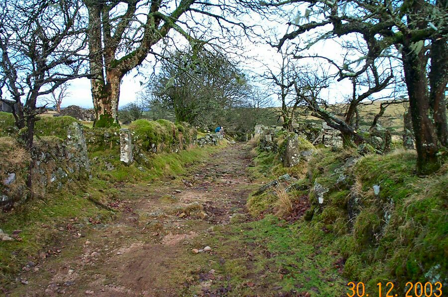
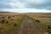
The track that leads through the enclosures of Upper Swincombe
Farm. This track would have been part of the medieval Ashburton-Tavistock
packhorse track which used to be the main route between these two
towns. Today, this track has a rather Hardyesque feel to it and it
is easy to imagine people and horses travelling along it.
|
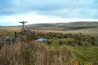 |
The signpost at SX 630728.
|
 |
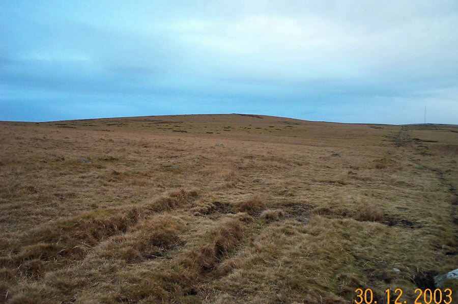
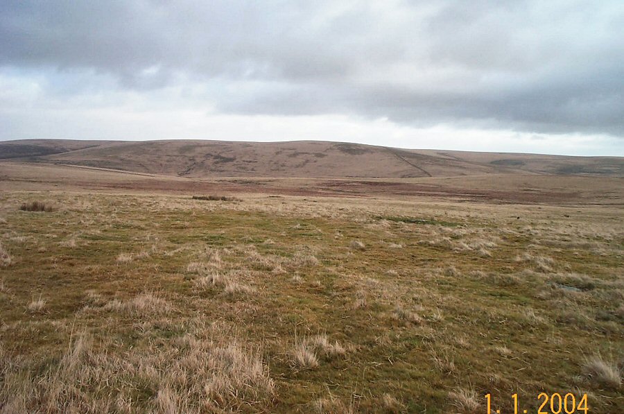
The rather bland contours of Royal Hill from the NE.
|
 |
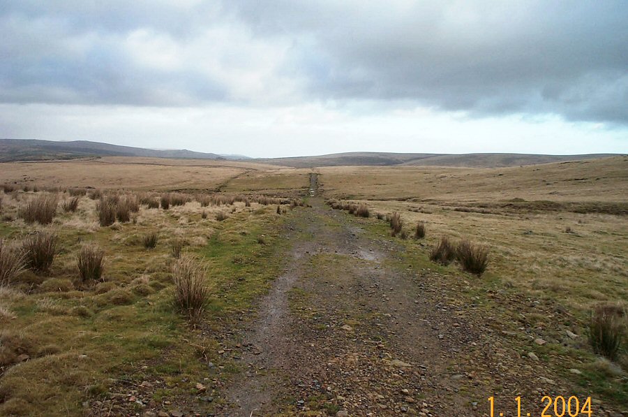
Looking west along the track towards Princetown - SX 620729. Cholake
head is on the left hand side. This track has been known as "Conchies
Road" because it was maintained by conscientious objectors in WW1.
|
 |
Looking east from SX 620729. Down Ridge is on the horizon.
|
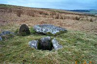 |
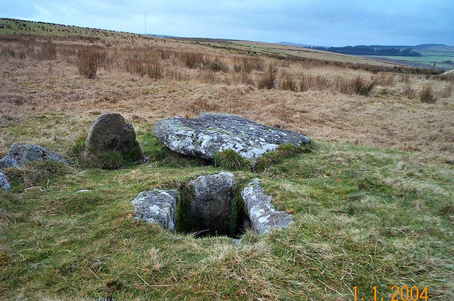
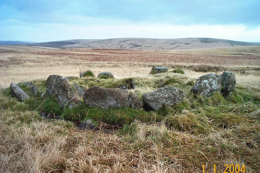
The Crock of Gold cist at SX 615731. The dislodged cover stone
lies behind and the whole cist is contained within a small stone
circle.
|
 |
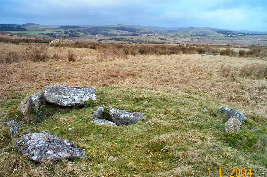
Another view of the Crock of Gold cist. In the background is the
countryside around Two Bridges while on the distant horizon are the
Beardown Tors.
|
 |
The summit of Royal Hill at SX 618726. There are very good north
facing views from here.
|
 |
The SE view from Royal Hill looking over towards Ter Hill. You
can clearly see the Mount Misery newtake wall that rises up the side
of Ter Hill.
|
 |
A cist at SX 621724 |
 |
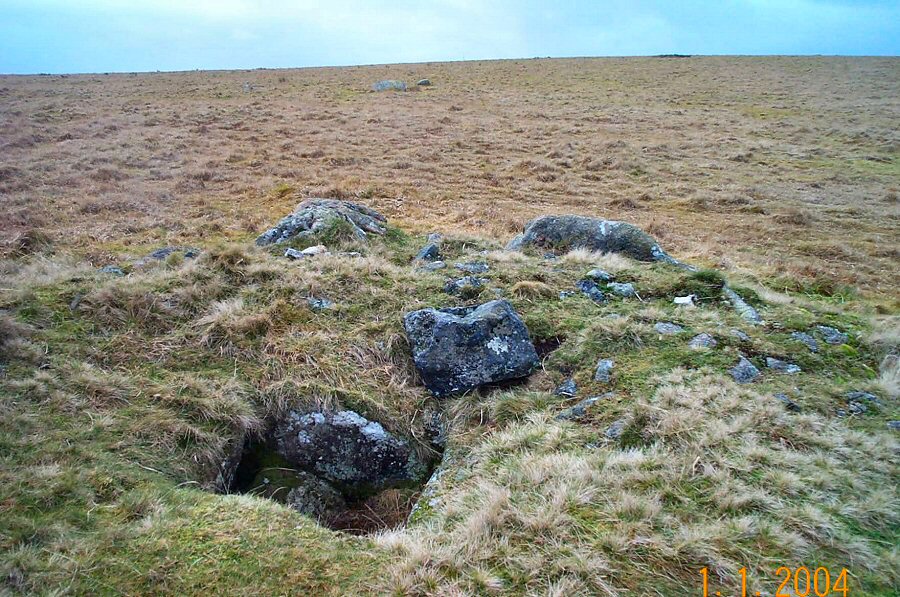
Another good example of a cist enclosed within a stone circle
at SX 620721. These stones would have helped to retain the
round barrow of earth that was originally piled up over this burial
chamber. |
 |
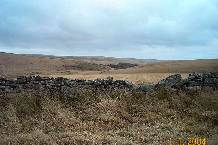
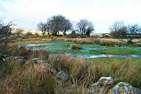
The Swincombe valley from Joan Ford's newtake wall at SX 632722. |
 |
A view over the modest Swincombe reservoir. Ter Hill is on
the left horizon. The water is piped down the valley to Gobbet's
Plain and then transferred via
an old
adit
tunnel
to
Venford reservoir. |
 |
A NE view over the Swincombe valley from SX 632723. On the
right hillside there are traces of Bronze age homesteads and reaves. |
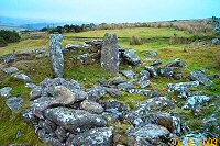 |
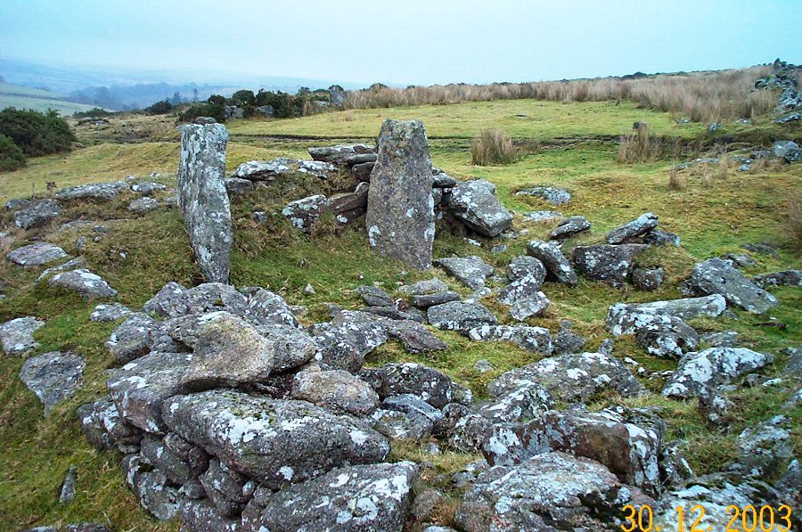
The remains of Dolly Treble's house (SX 641726). This was an
modest homestead of around 1850. The two upright stones are part
of the
substantial fireplace. |