All | Little | Shorter | Standard | Longer | Tors | Relics | History | Links | Panoramas | Home
|
||||||||||||||||||||||||||||||||||||||||||||||||||||
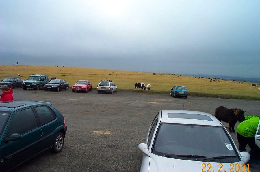
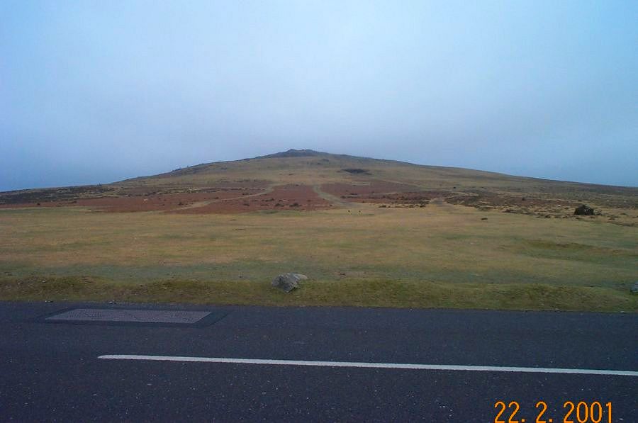
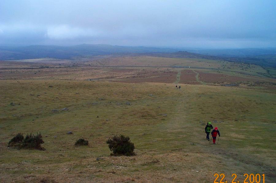
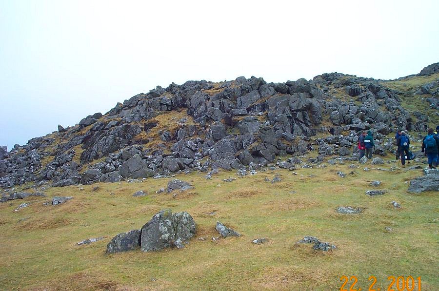
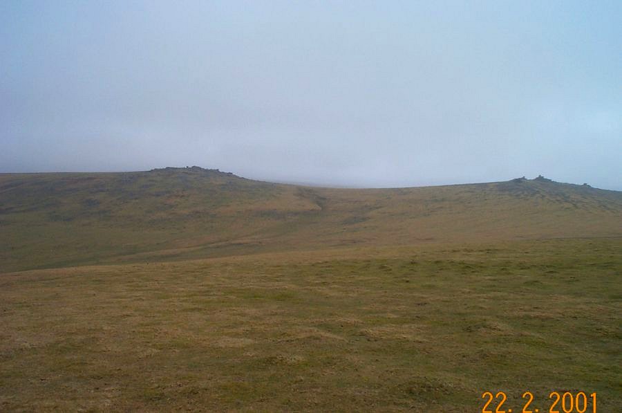
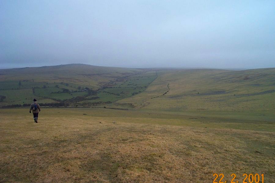
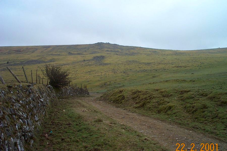
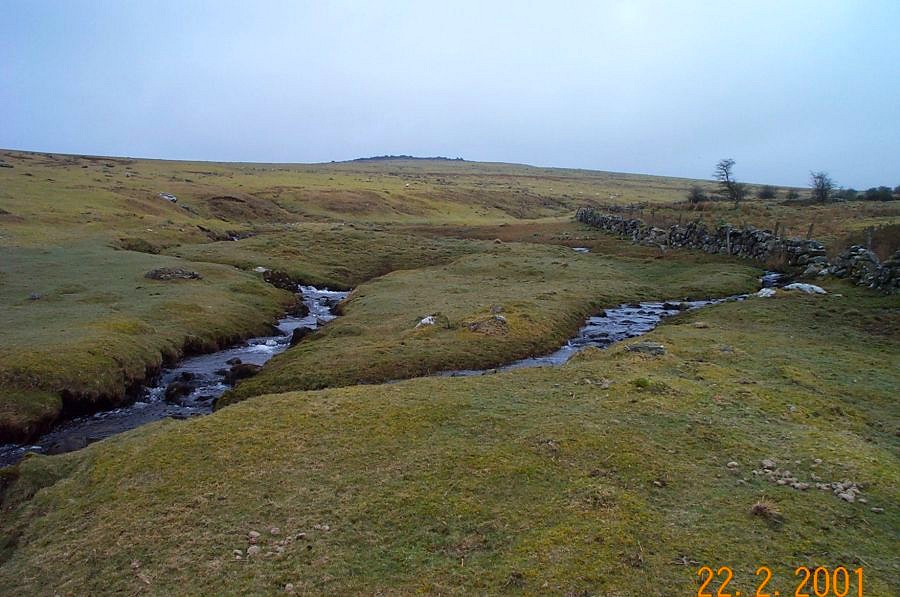
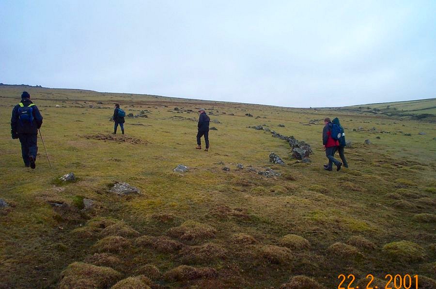
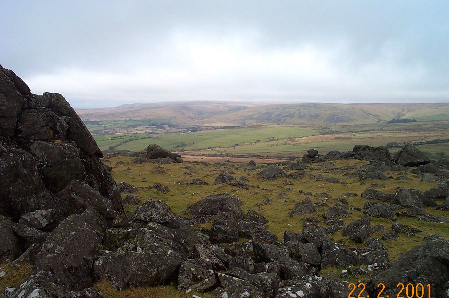
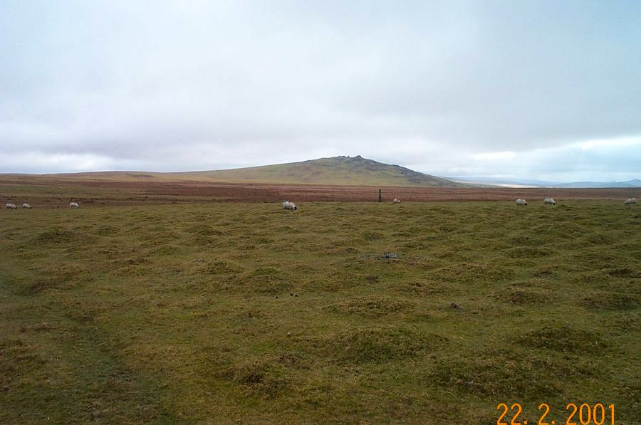
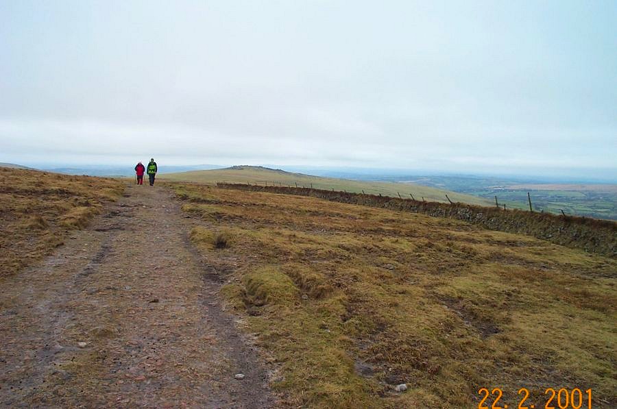
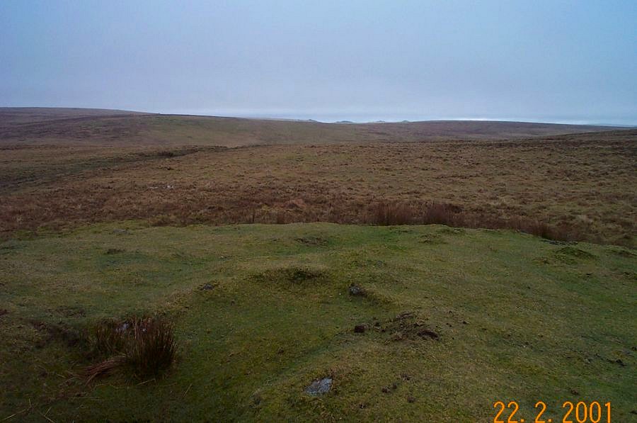
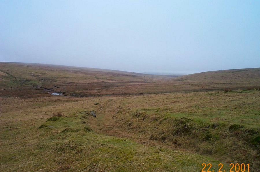
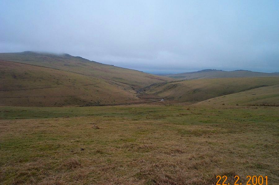
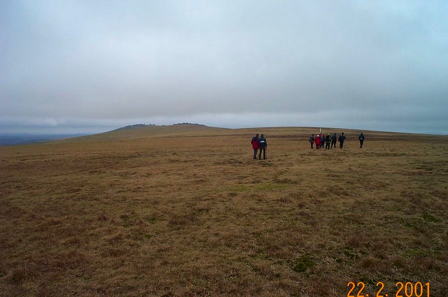
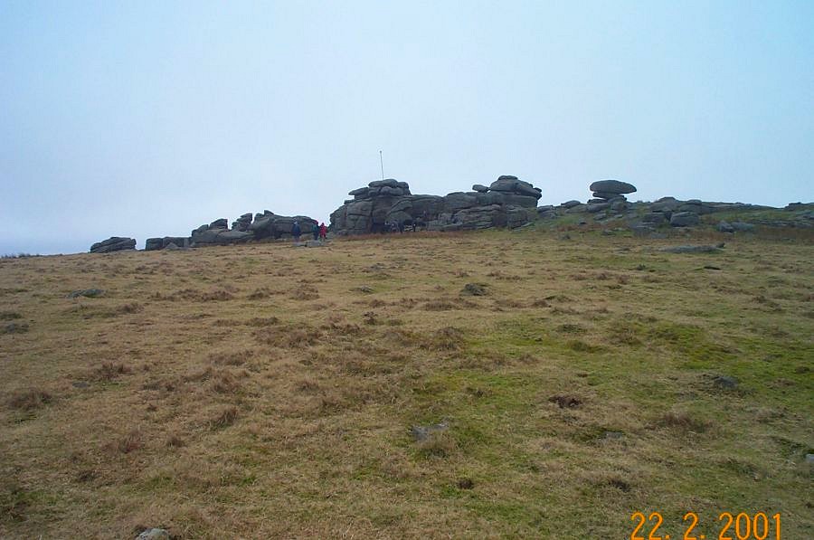
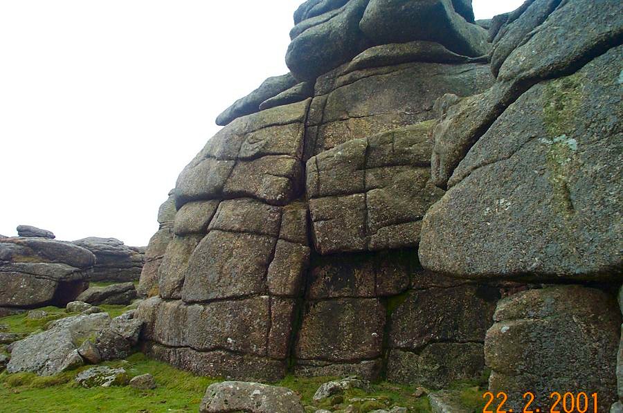
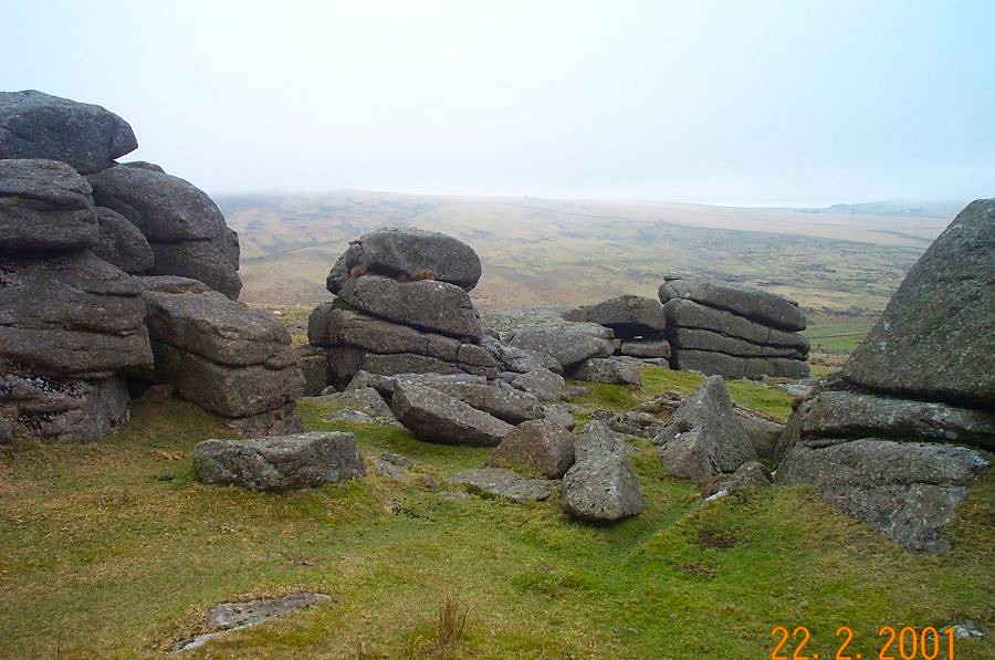
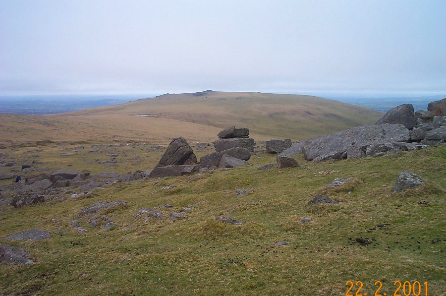
Wheal ProsperWheal Prosper (SX 573794) was an old tin working that was anything but prosperous. The mine was managed by Rowse and was working in 1790 when a small amount of tin was produced. It is situated in an isolated moorland valley up the Walkham Valley. Remains of a gert, filled in shafts, a wheel pit and a stamping floor are all present in this lonely secluded part of the moor. After visiting it one can appreciate the privations that the tinners experienced in their search for metal.This walk starts at the popular Pork Hill car park (SX 531751) on the Princetown - Tavistock road. Head up towards Cox Tor and head off in a NW direction towards White Tor. After taking in the spectacular views (if the weather permits) then walk in an easterly direction towards the White Barrow. A newtake wall helps you navigate. At the White Barrow you briefly join the old Lich Path before turning off at the Walkham ford to visit Wheal Prosper. Head southwards skirting Cocks Hill and turn westwards over Peter Tavy Great Common. Make for Roos Tor and your way back to the car park is clear.This walk is fairly straightforward but takes you to the edge of the Northern Dartmoor wilderness. It is about 8 miles long and takes in a few climbs as well as tramping over undulating ground. Allow about 4 hours at a reasonable pace. A map and compass must be taken. Adverse weather could quickly make this walk a challenge - especially around the mine area.
|
||||||||||||||||||||||||||||||||||||||||||||||||||||
All | Little | Shorter | Standard | Longer | Tors | Relics | History | Links | Panoramas | Home | ||||||||||||||||||||||||||||||||||||||||||||||||||||