
All | Little | Shorter | Standard | Longer | Tors | Relics | History | Links | Panoramas | Home
|
|
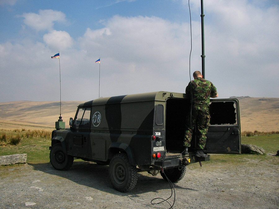
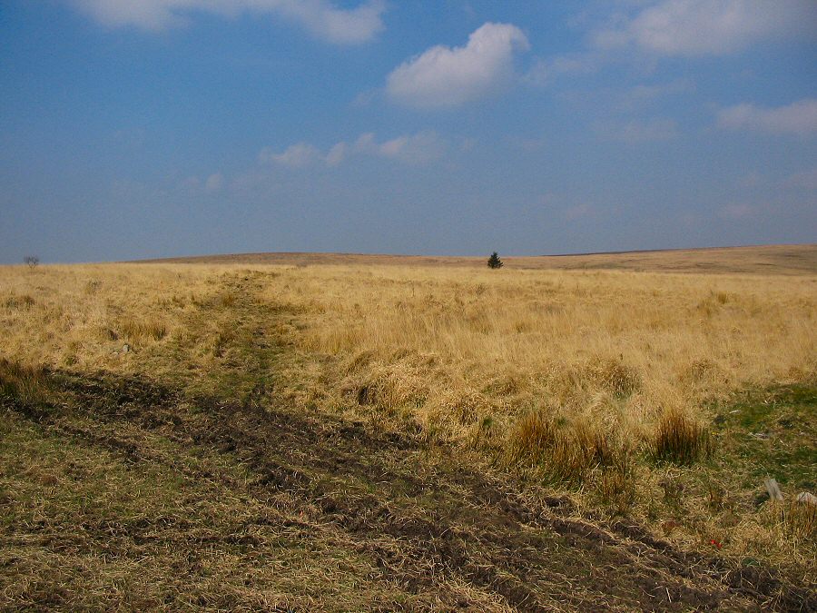
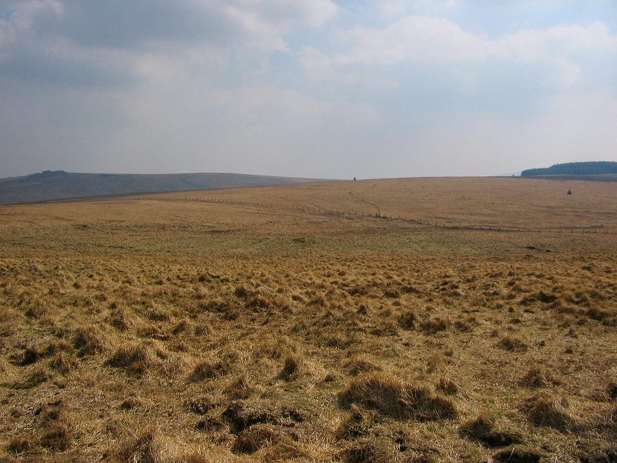
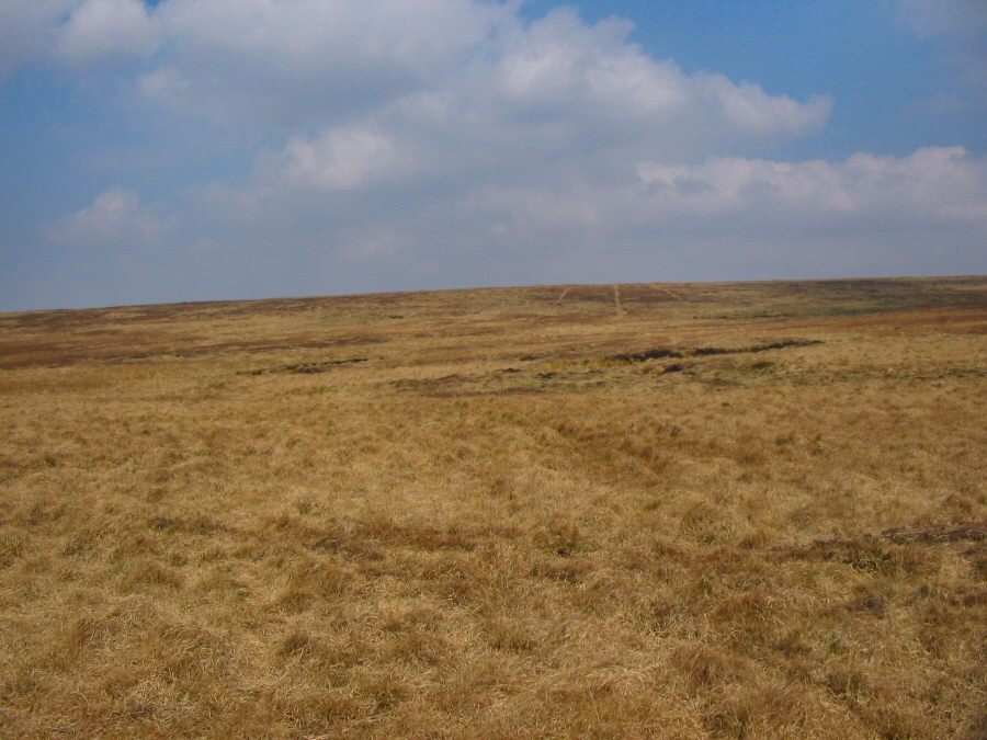
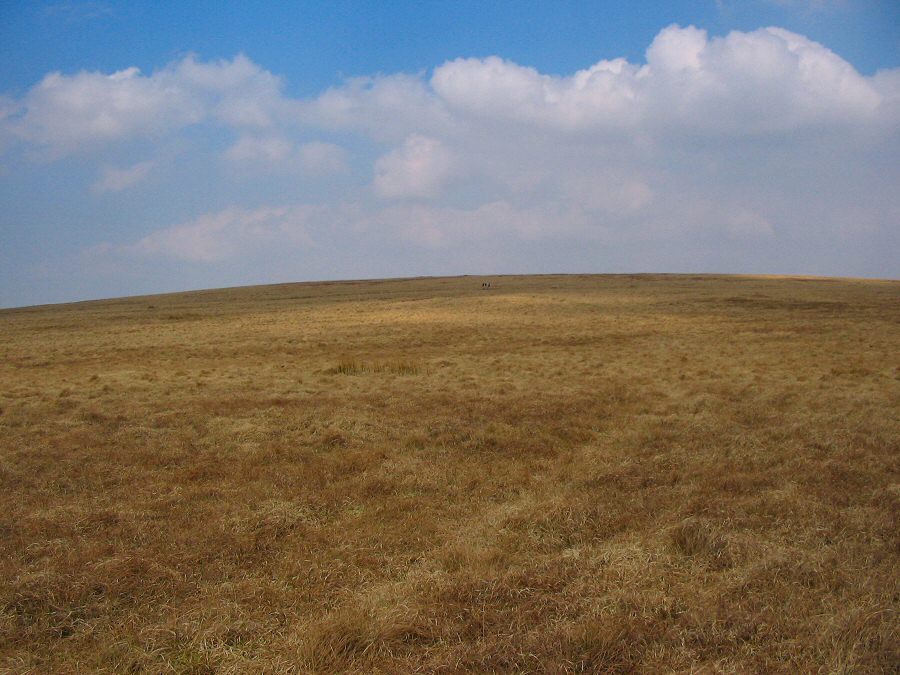
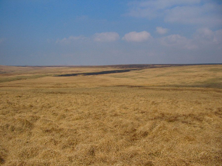
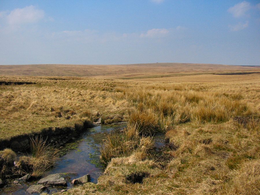
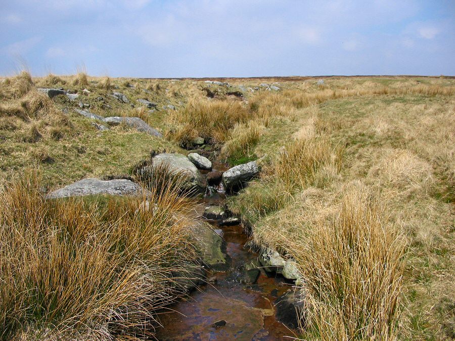
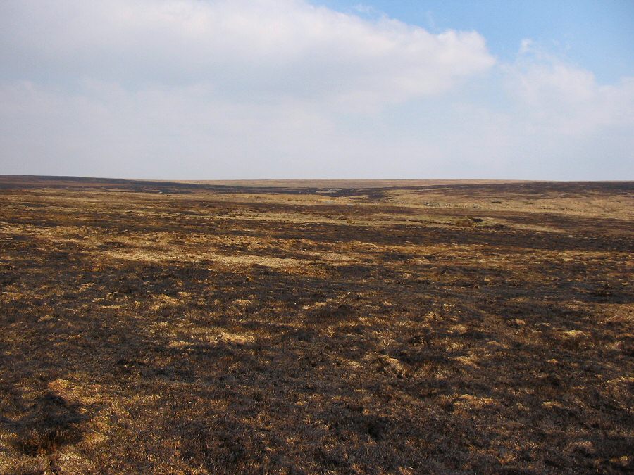
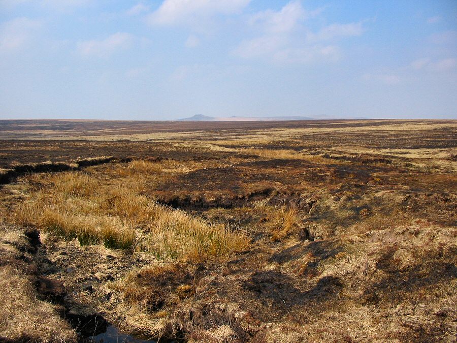
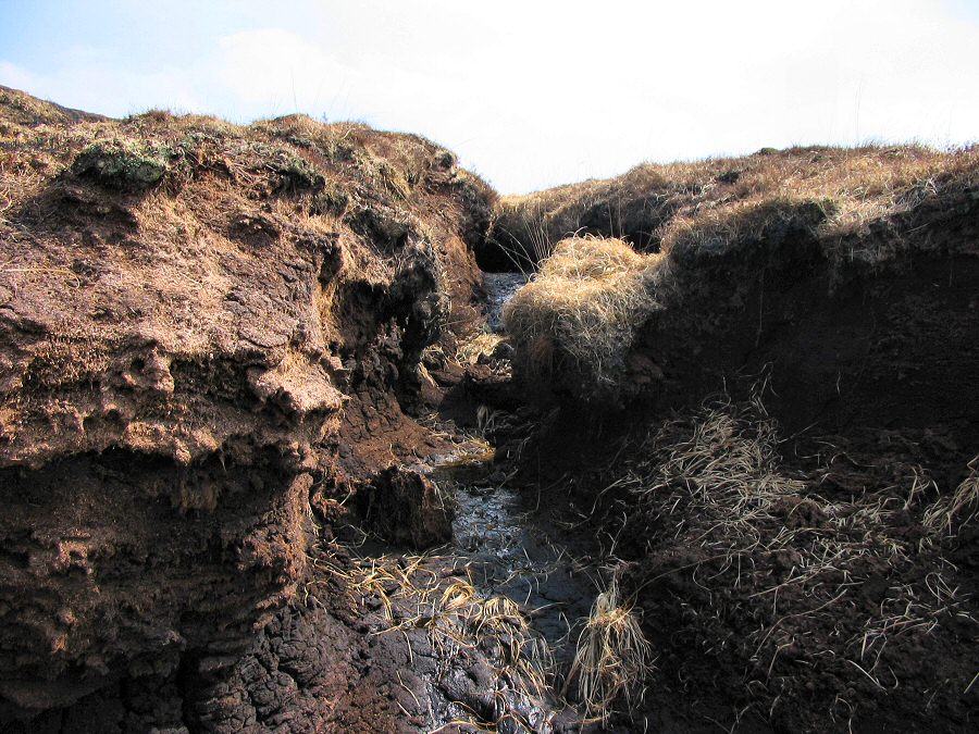
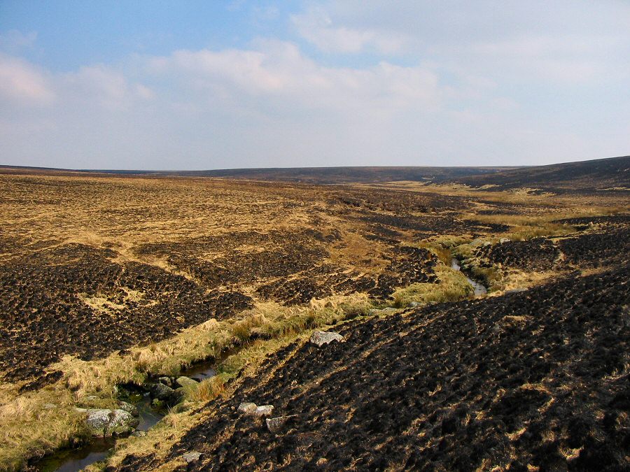
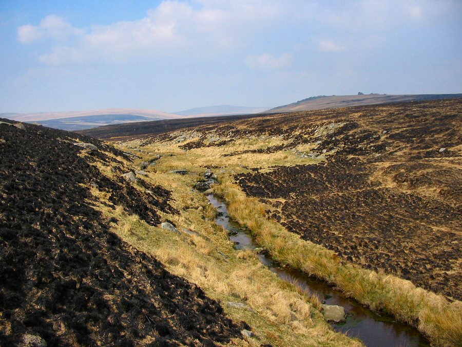
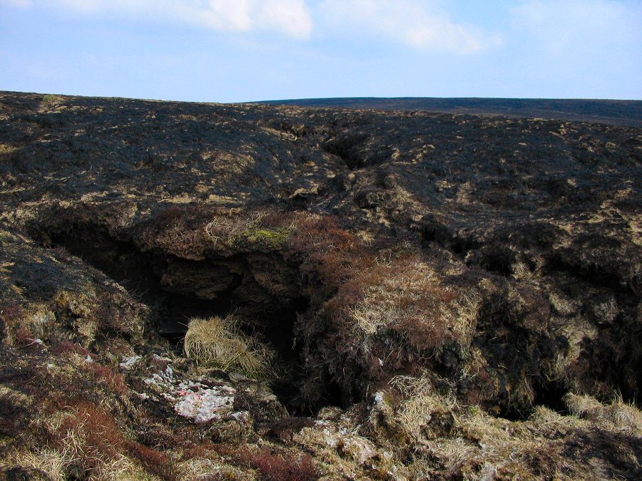
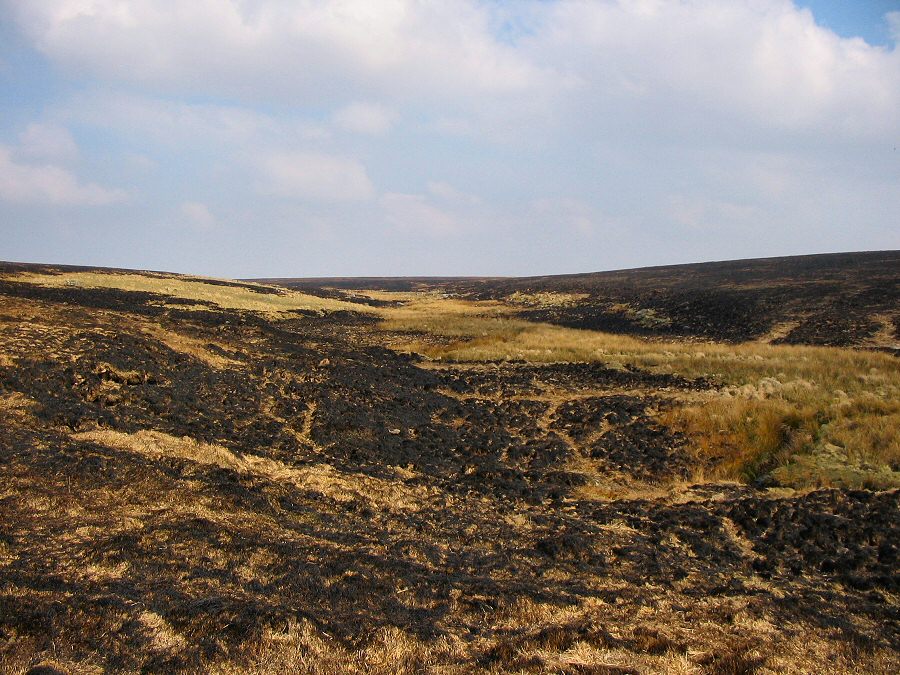
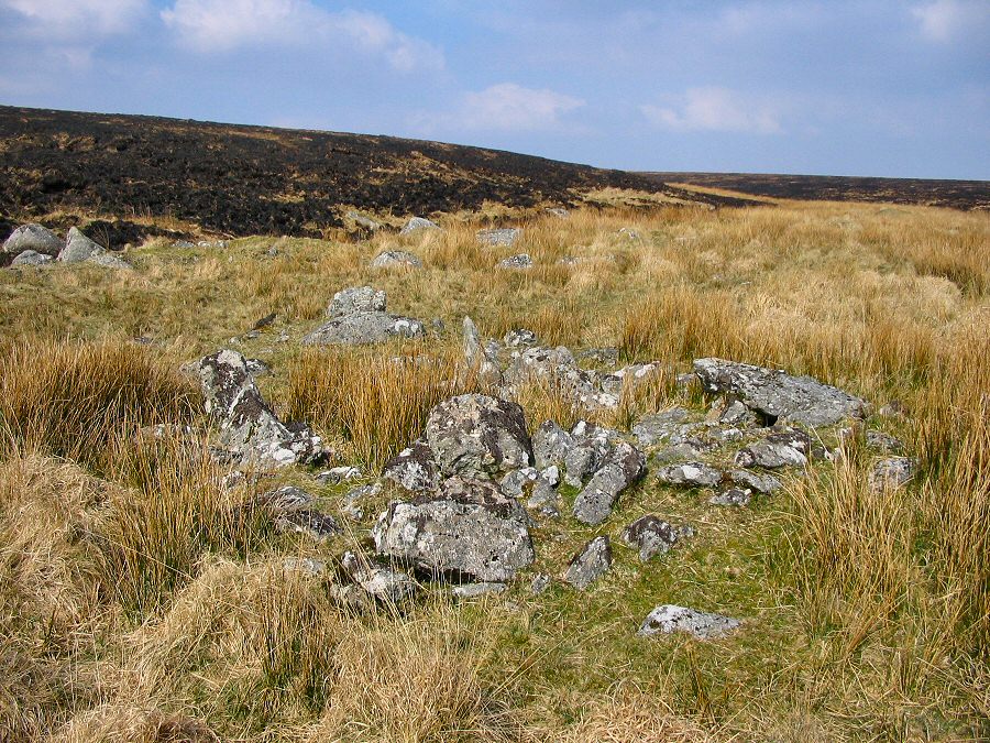
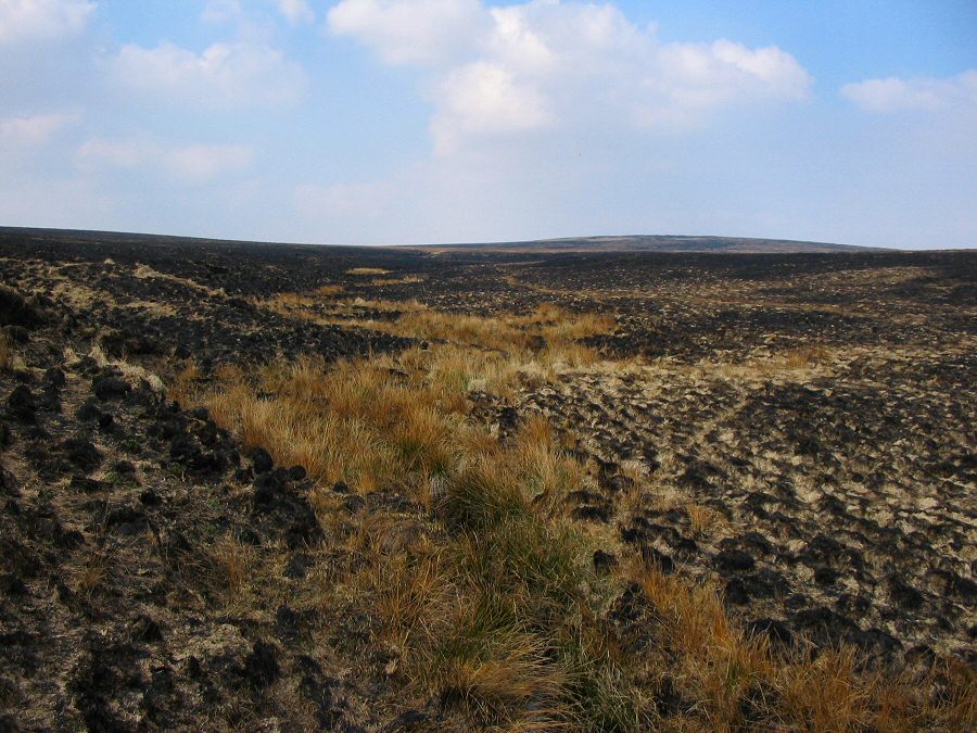
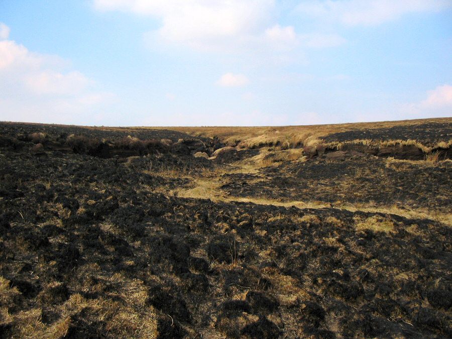
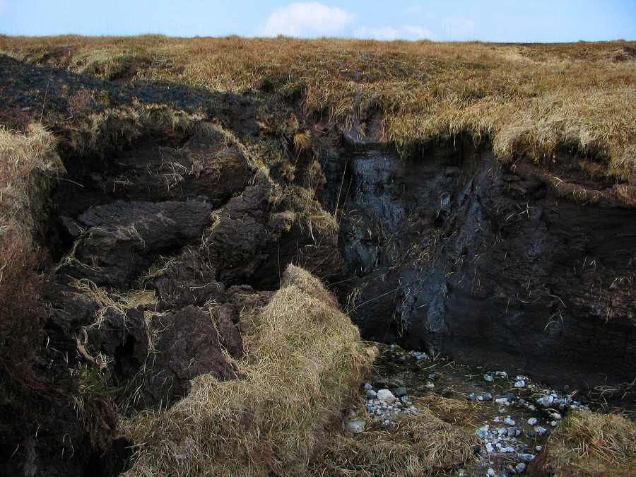
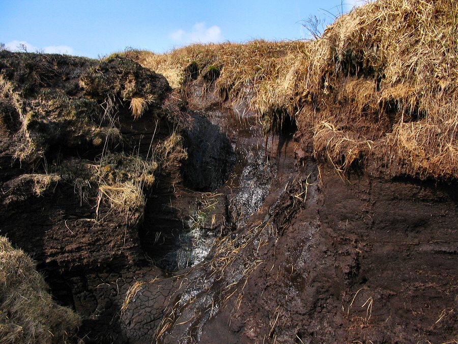
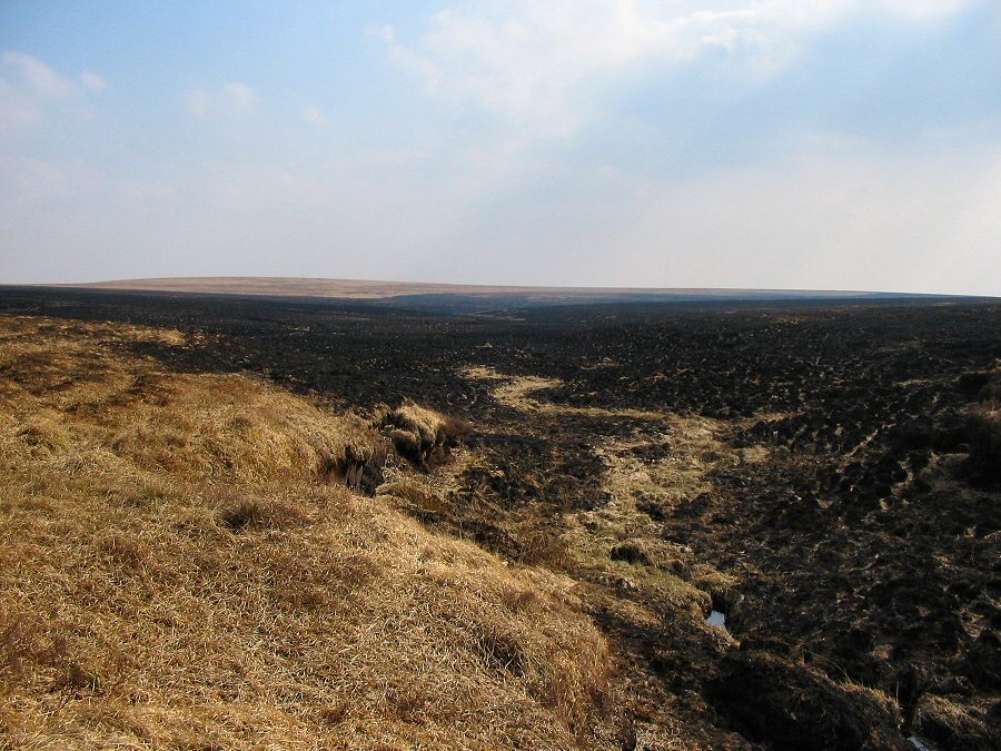
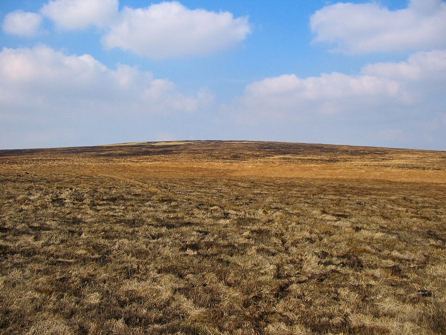
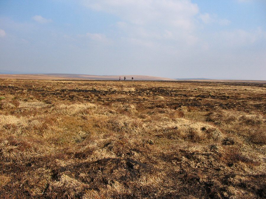
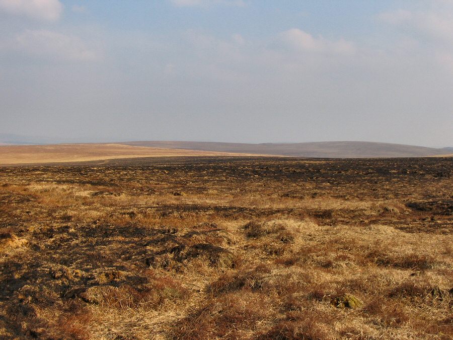
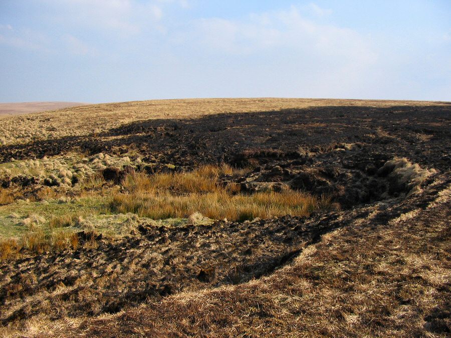
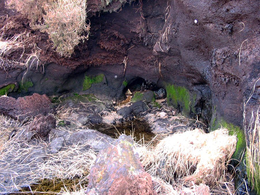
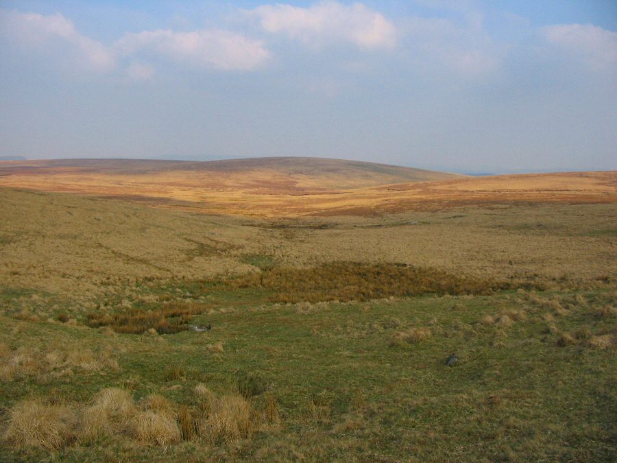
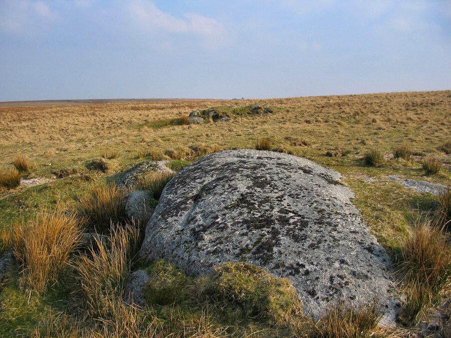
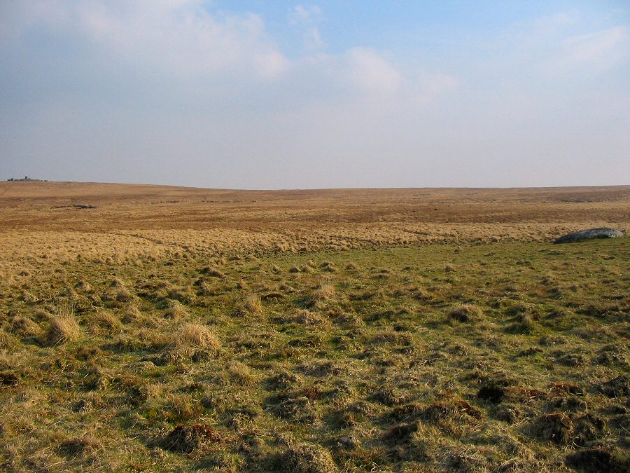
North Tavy HeadNorth Tavy Head lies in an isolated part of north Dartmoor where a peaty blanket bog covers the granite plateau. The wet peat fuels a number of river heads that arise in this area - the Tavy, the Walkham, the Cowsic, the West Dart. This walk takes in 3 of these heads although it wouldn't be difficult to include the Cowsic as well. The walk took place soon after a Dartmoor swaling had been completed (April 2007). Swaling is the burning of the scrub in order to thin out the old vegetation in order to allow new grass shoots to grow thus providing grazing for the livestock. Swaling also makes walking much easier although the scorched look (and smell) is a bit unusual.Park by Holming Beam (SX 591765), walk up the track and take the left track that leads to Black Dunghill. Then head due north past Blackbrook Head, the unnamed hill until you get to the barely apparent path of the Lych Way on the side of Conies Down. There's a good view of the Walkham valley from here. Carry on straight north, cross Spriddle Lake and you should get to Walkham Head shortly after. Then change to a NE bearing which will take you to the Tavy valley. Follow the stream until you get to the North head. West Dart head is SE of Tavy head and the ground is hag ridden and probably rather wet. From West Dart head south and hug the contours which will take you to Horse Hole country. Then head SW back onto the plateau and then south to the Beardown Man, Lydford Tor and eventually Holming Beam.This is a good walk of over 11 miles on the exposed Dartmoor fen. As the pictures show the walk was taken in nearly ideal conditions. The recent swaling made walking over the peat hags much easier. The ground around Tavy Head and Summer Brook can be awkward and you need to check for hidden holes in the grass. In poor weather this walk could get tricky. Clearly, a map and compass is needed even in good conditions. The walk is in the Merrivale military area.
|
|
All | Little | Shorter | Standard | Longer | Tors | Relics | History | Links | Panoramas | Home | |


