All | Little | Shorter | Standard | Longer | Tors | Relics | History | Links | Panoramas | Home
|
||||||||||||||||||||||||||||||||||||||||||||||||||||
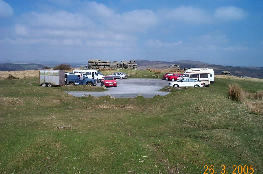
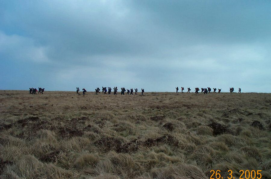
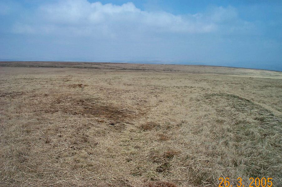
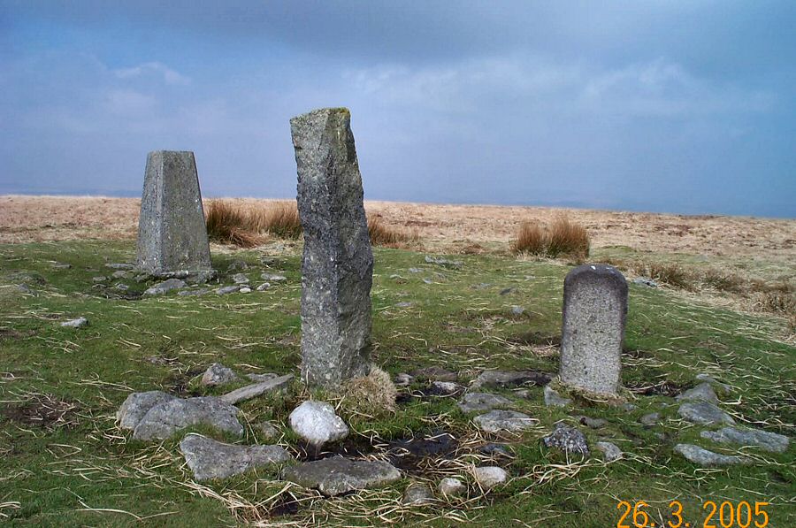
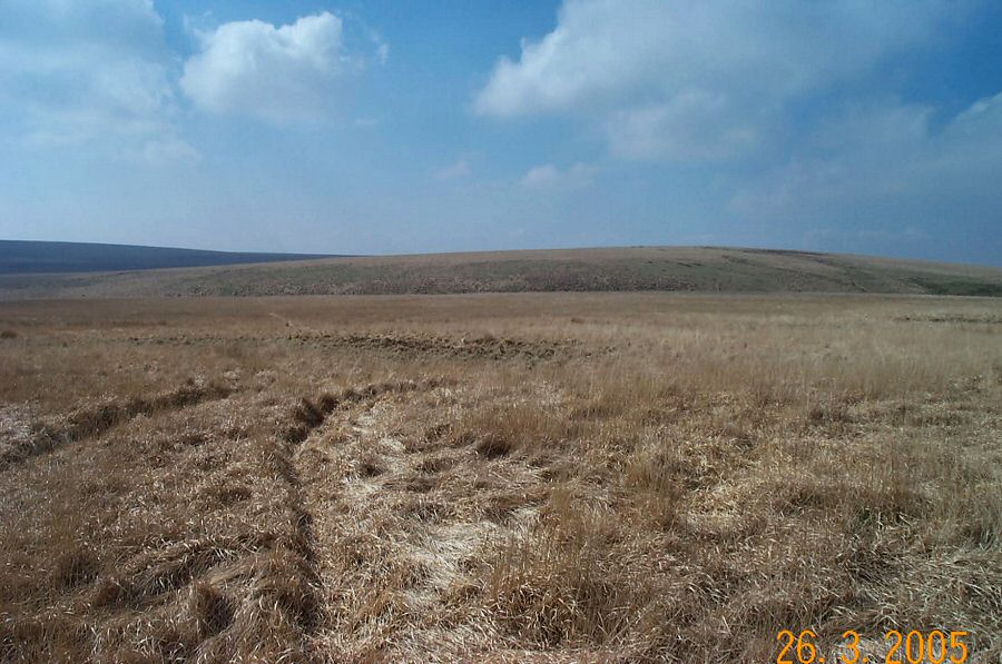
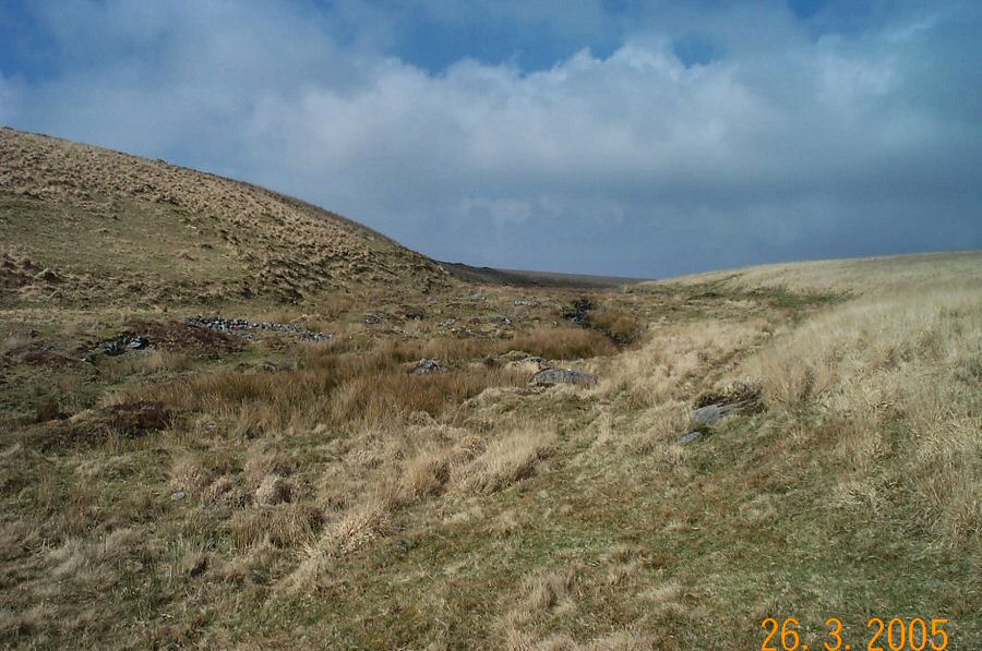
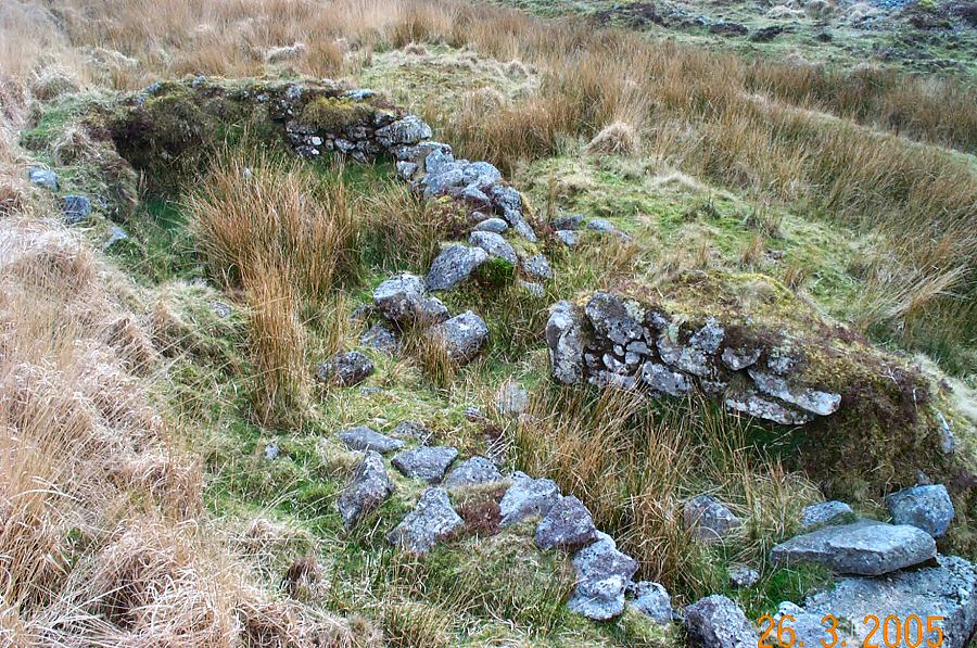
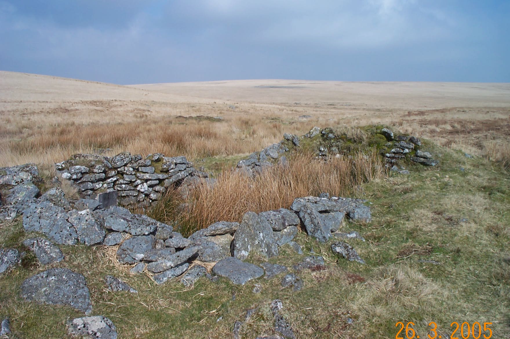
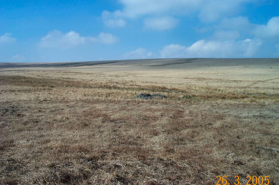
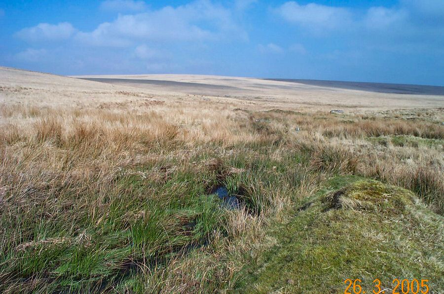
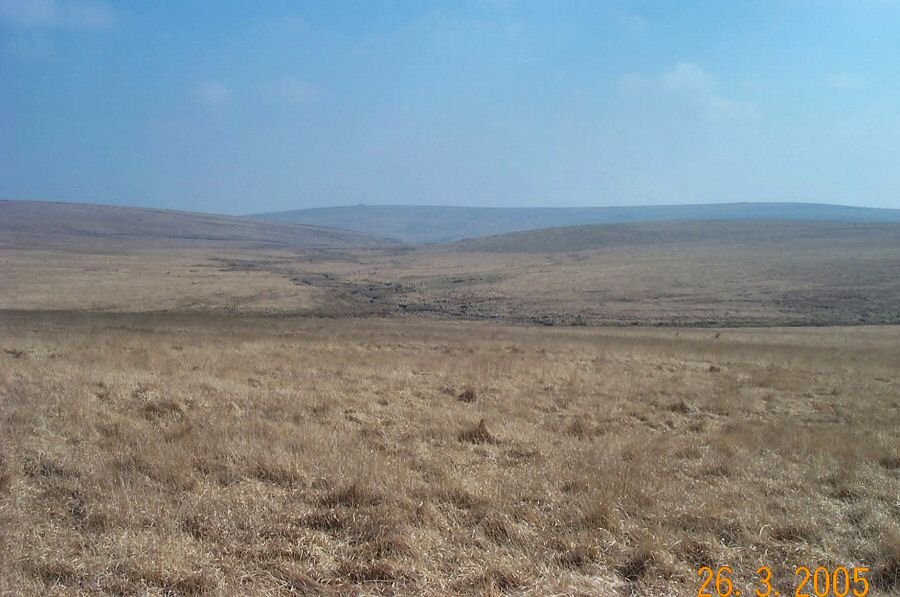
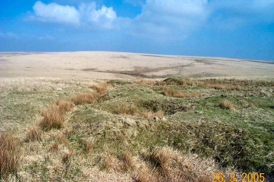
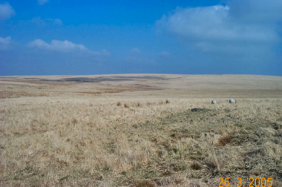
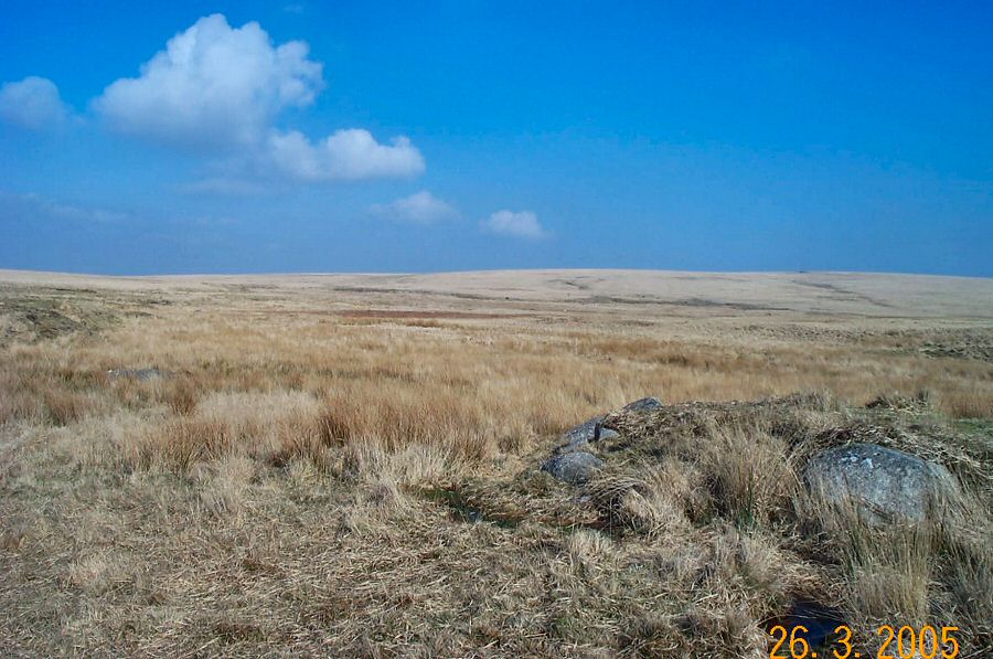
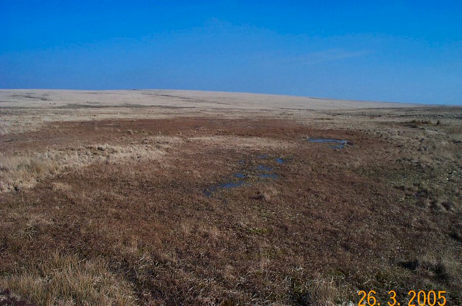
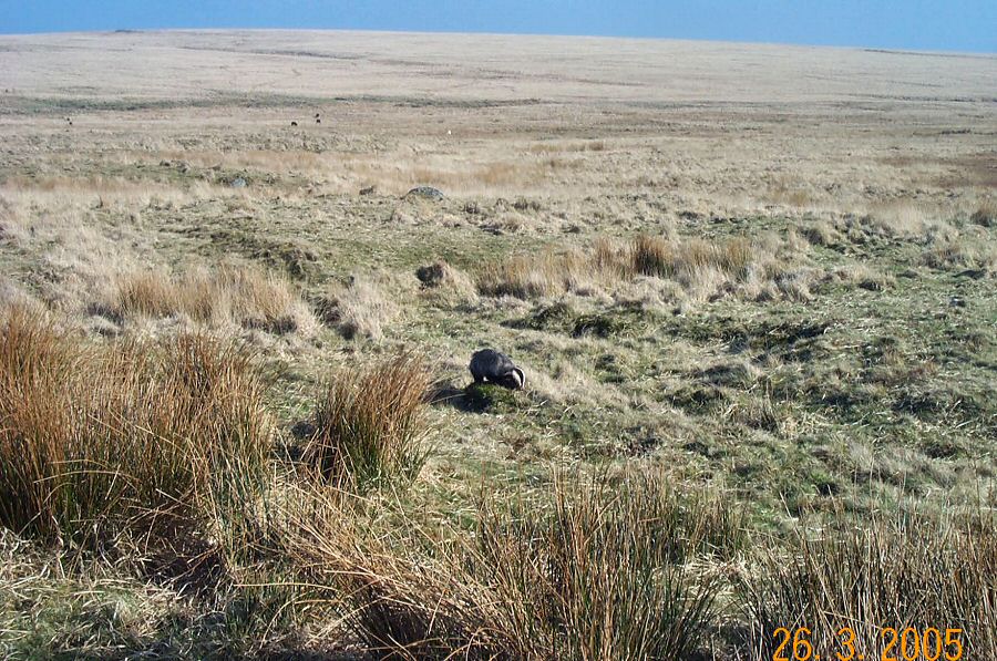
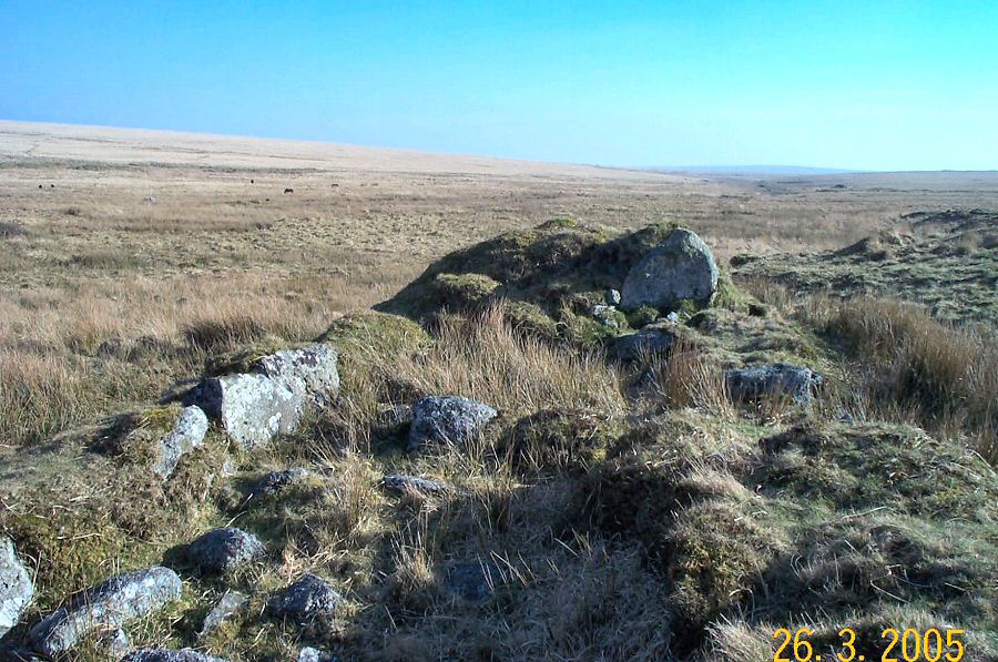
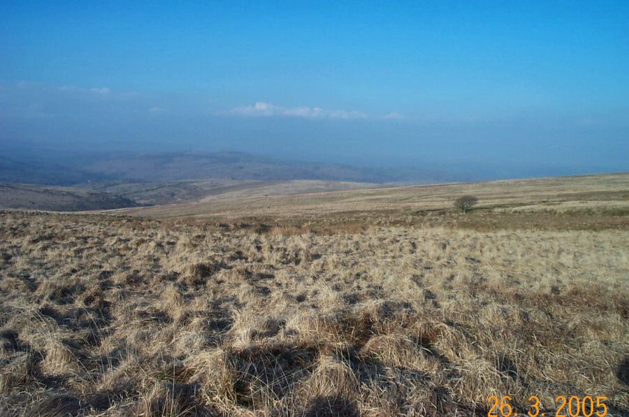
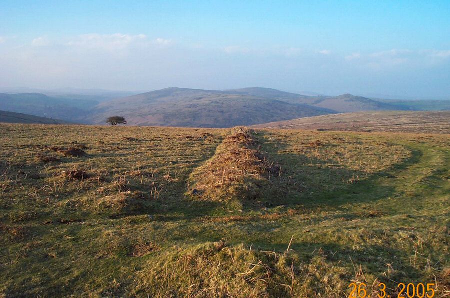
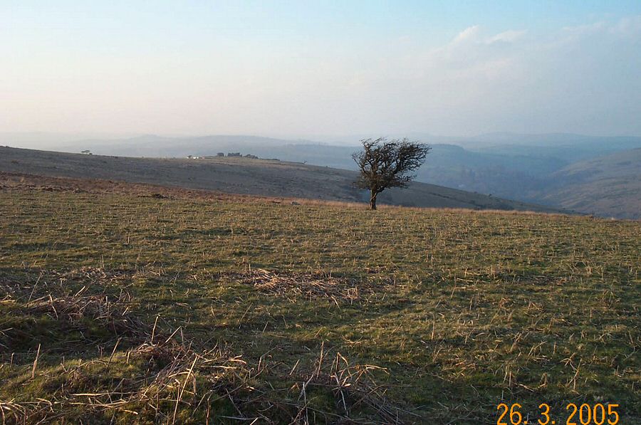
The Avon MiresMany Dartmoor river heads are fairly isolated and bleak places. The Avon (or Aune) Head is certainly one of these places. You can find three extensive mires beside the headwaters of the Avon - Aune Head, Fishlake and Ryder's. All fit in with one's preconceptions of a Dartmoor bog - ie. they are all wet and fairly impassable except in the driest of weather. However, don't let that put you off because they are fascinating places to visit. They are not lifeless wildernesses, but support a surprising diversity of life - and not just birds! On a still sunny day, the silence becomes quite intense and you're aware of just how removed you are from civilisation. At this point the experience becomes unforgettable. This walk was prompted by Michael Hedge's vivid description of this area in "Escape to Dartmoor". He refers to it as "one of the innermost sanctums of Dartmoor".Park at Combestone Tor (SX 670718) and take the southern path that leads up to Ryder's Hill. Then head SW from Ryder's down the hill towards the Avon valley and Fishlake mire. The ground is awkwardly grassy and could be rather wet. Cross the river in the valley and head over towards the tinner's hut beside Fishlake. Then head due north over Naker's Hill until you encounter the barely visible line of Sandy Way. Alternatively, you could follow the foot of the slopes of Naker's Hill which takes you on a longer route around the western edge of Aune Head mire. At Sandy Way turn to the east and this will take you beside Aune Head. You can carry on the Sandy Way until you reach Holne Ridge from where you can head back down to Combestone Tor.This is not an easy walk. The ground is often wet and awkward to walk on. Navigation can be more tricky than usual owing to the featureless terrain (apart from Red Lake). Adverse conditions could quickly make this walk quite hazardous. However, on a sunny day this walk is surprisingly straightforward. About 6 - 7 miles. Lots of extension possibilities.
|
||||||||||||||||||||||||||||||||||||||||||||||||||||
All | Little | Shorter | Standard | Longer | Tors | Relics | History | Links | Panoramas | Home | ||||||||||||||||||||||||||||||||||||||||||||||||||||