All | Little | Shorter | Standard | Longer | Tors | Relics | History | Links | Panoramas | Home
|
||||||||||||||||||||||||||||||||||||
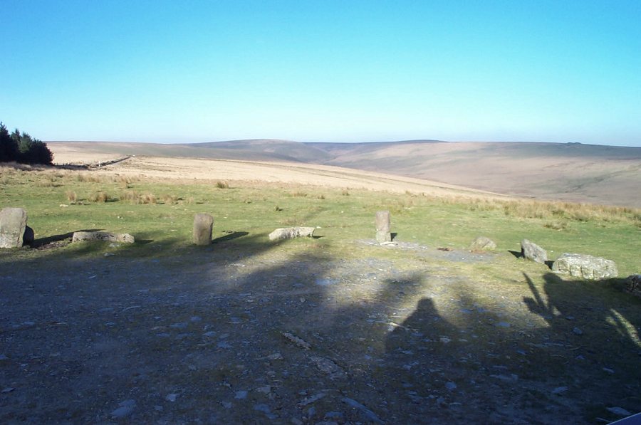
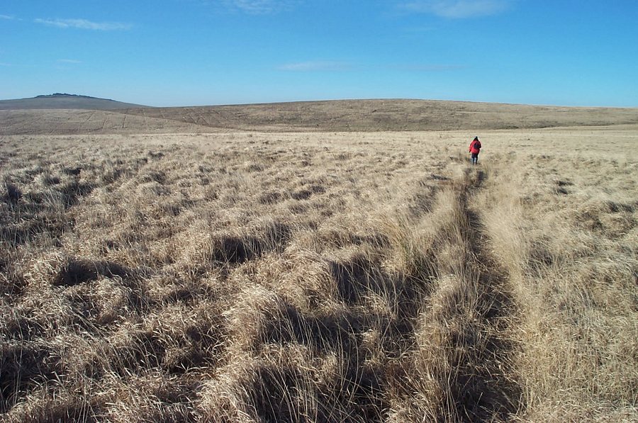
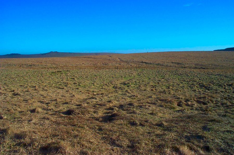
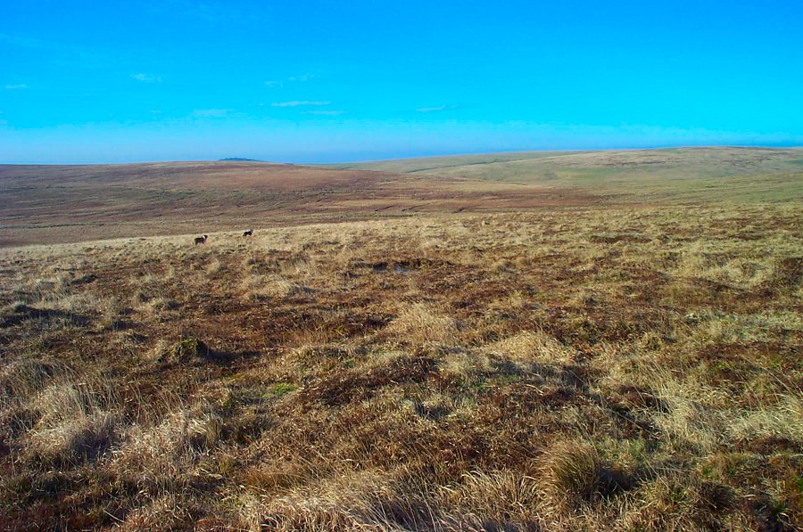
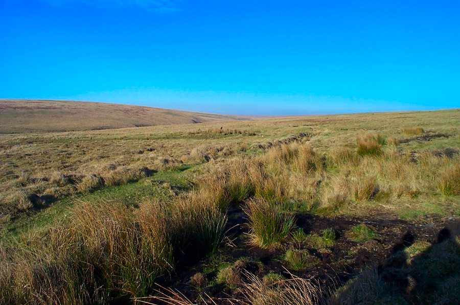
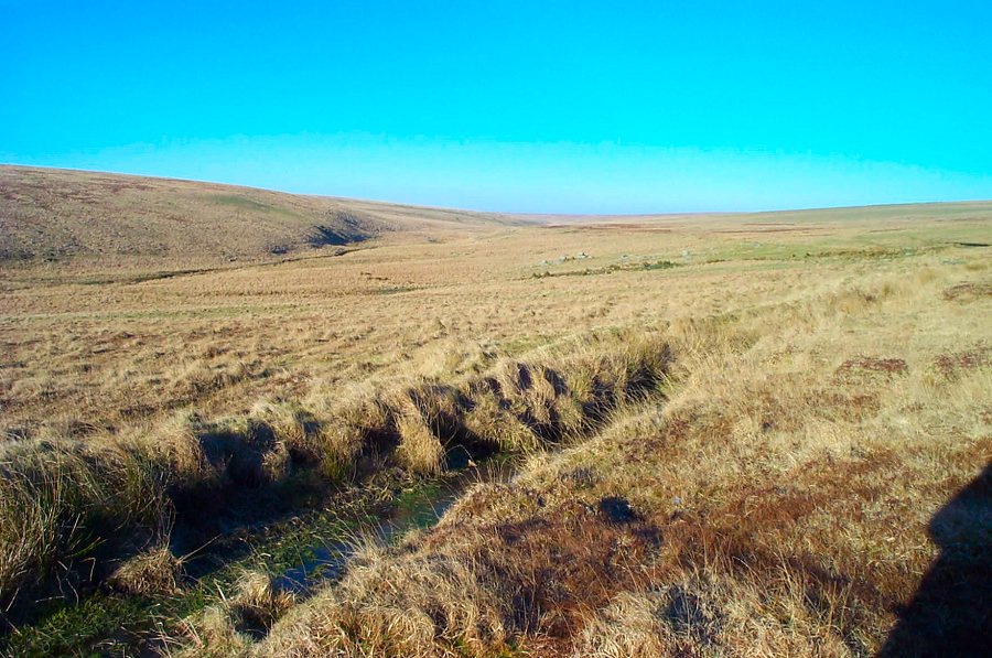
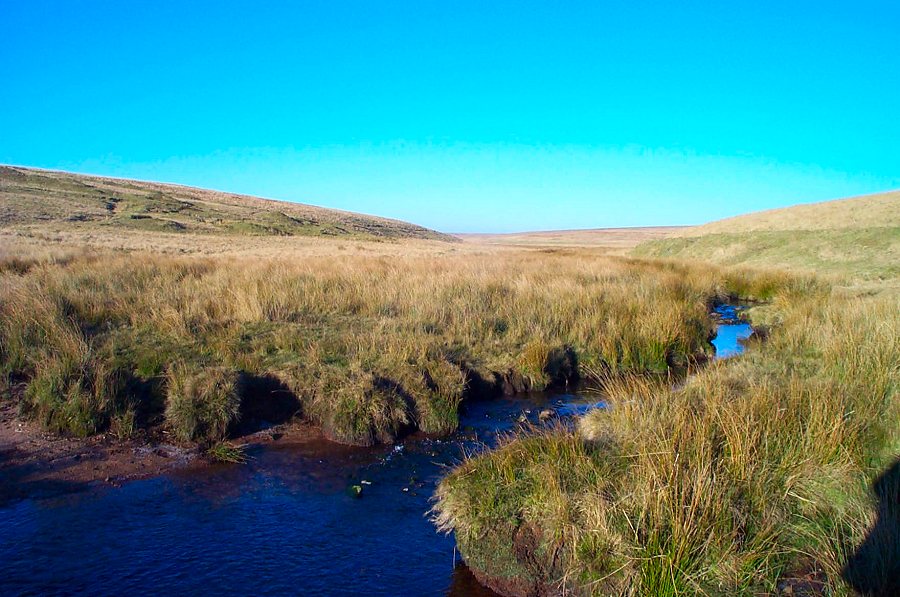
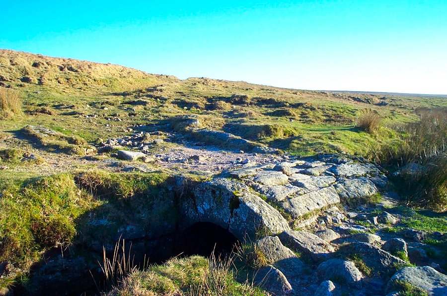
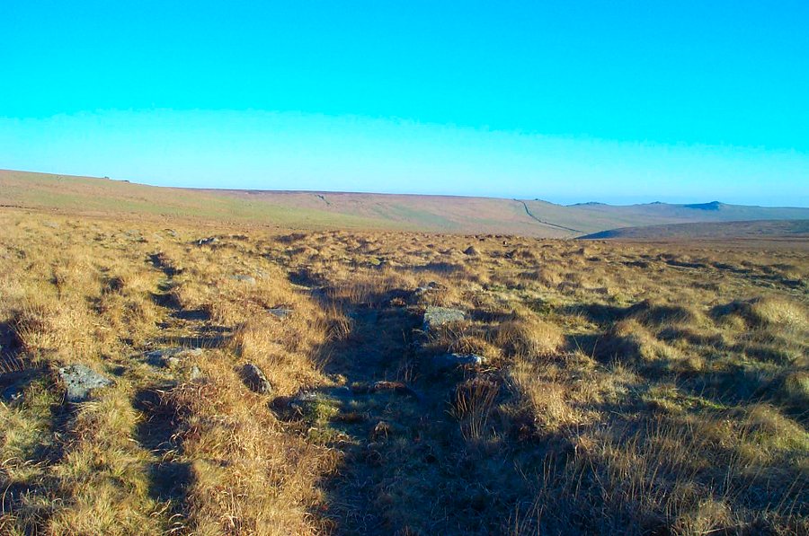
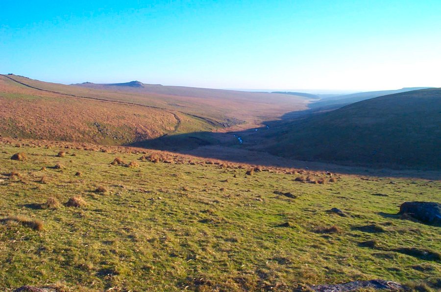
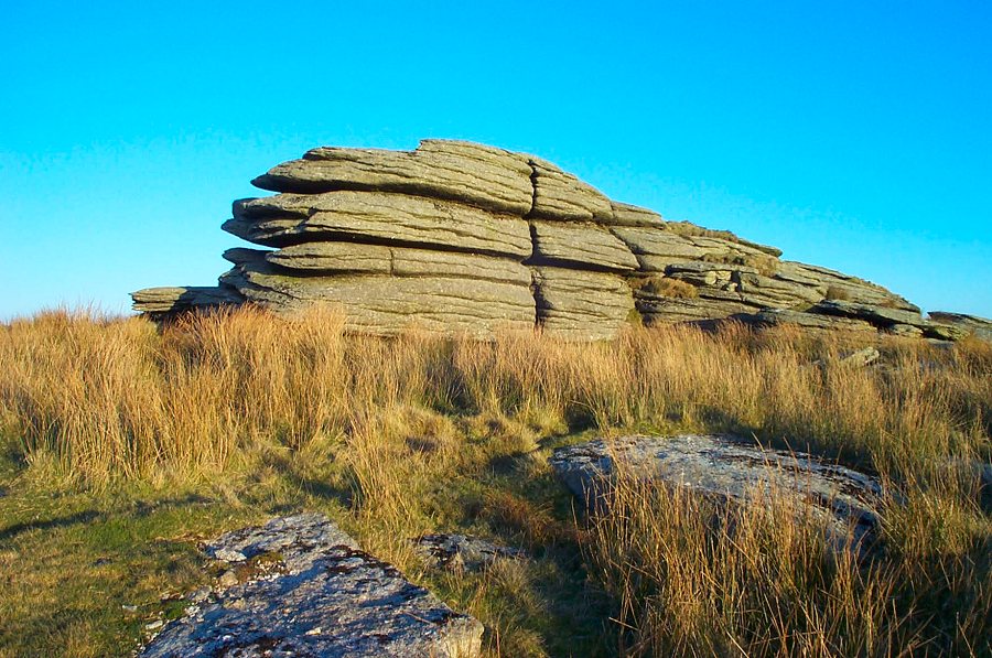
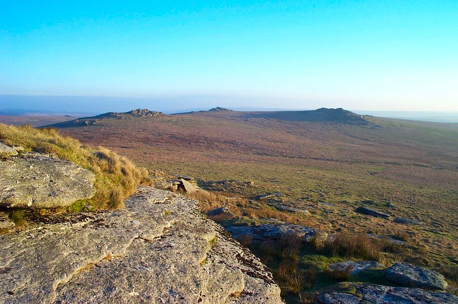
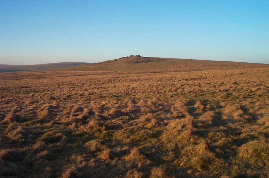
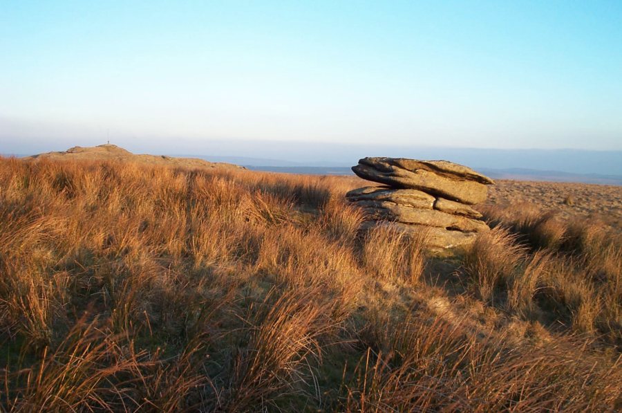
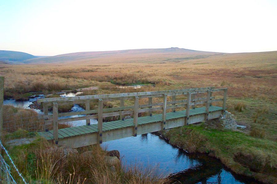
Lydford TorLydford Tor is a prominent tor on the Beardown ridge just north of Two Bridges. It was probably called Lydford because the old Lich way passes beside it. The Lich Way which is an old track that moorpeople used to carry their dead to Lydford church. Lydford parish was a large parish so proper burial wasn't easy for people living in the more remote areas of the moor. The walk also includes part of the beautiful Walkham valley and the prison leat.Park by Holming Beam (SX 591765), walk up the track, cross the sile and head NW towards Black Dunghill. Skirt over the southern slope and carry on NW until you cross the Prison Leat. Follow the leat up the Walkham valley until you get to the Lich Path ford. Follow the Lich Way eastwards over Conies Down, cross the Cowsic at a convenient place and then make for the prominent peaks of Lydford and Beardown tors.Not a difficult walk. There is a little climbing around the Cowsic and some peaty ground on Black Dunghill. In bad weather you could easily get disorientated. Allow 2.5 - 3 hours.This walk is within one of the military ranges.
|
||||||||||||||||||||||||||||||||||||
All | Little | Shorter | Standard | Longer | Tors | Relics | History | Links | Panoramas | Home | ||||||||||||||||||||||||||||||||||||