All | Little | Shorter | Standard | Longer | Tors | Relics | History | Links | Panoramas | Home
|
||||||||||||||||||||||||||||||||||||||||||||||||||||||||||||||
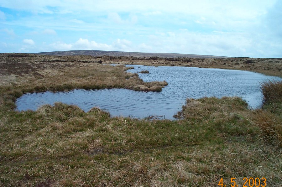
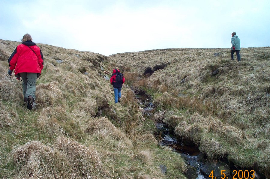
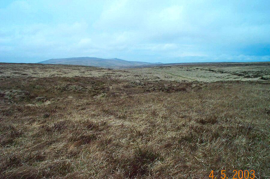
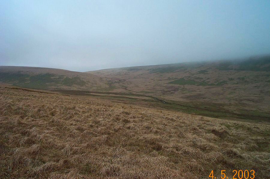
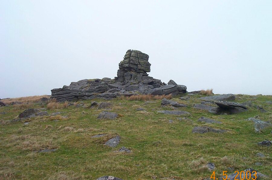
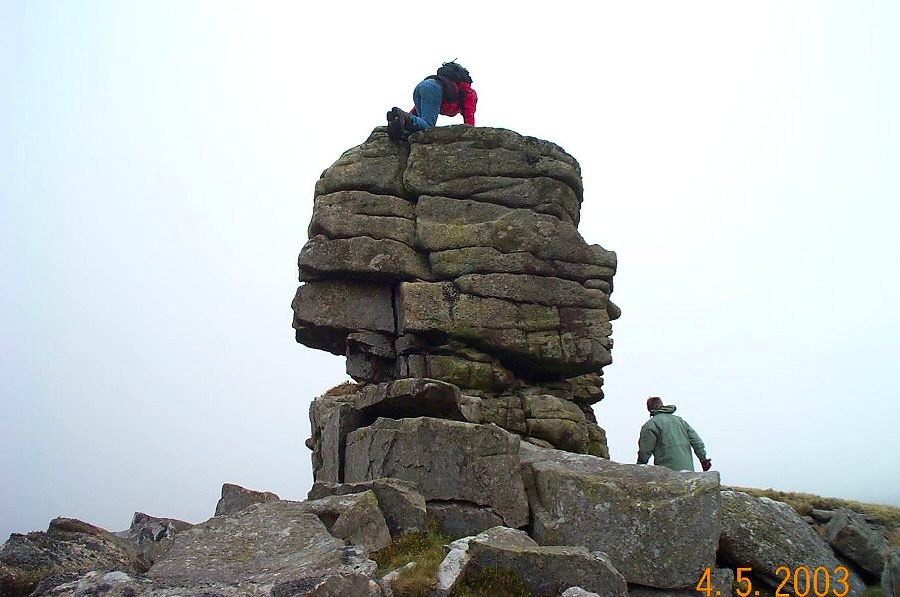
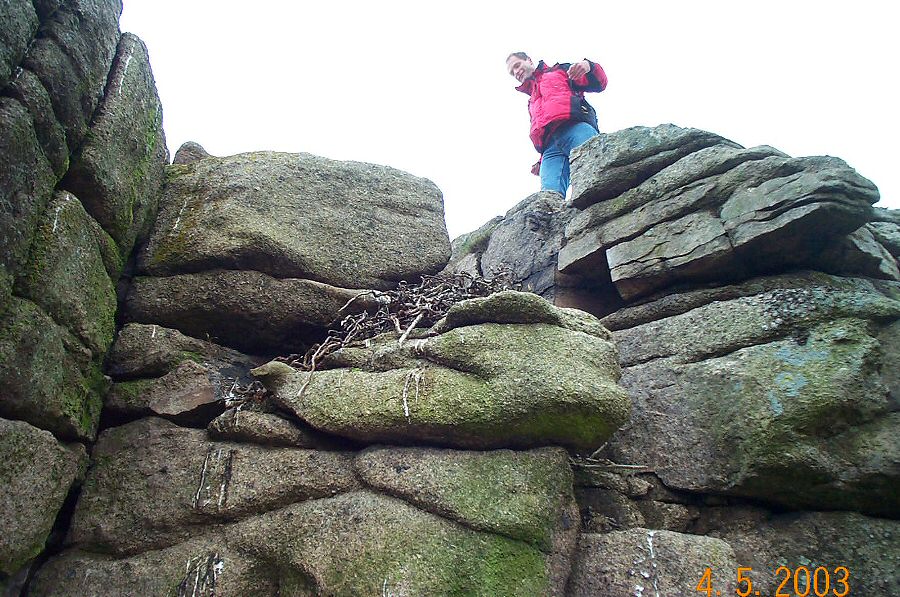
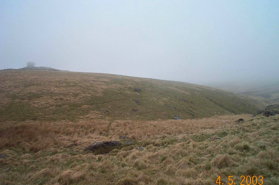
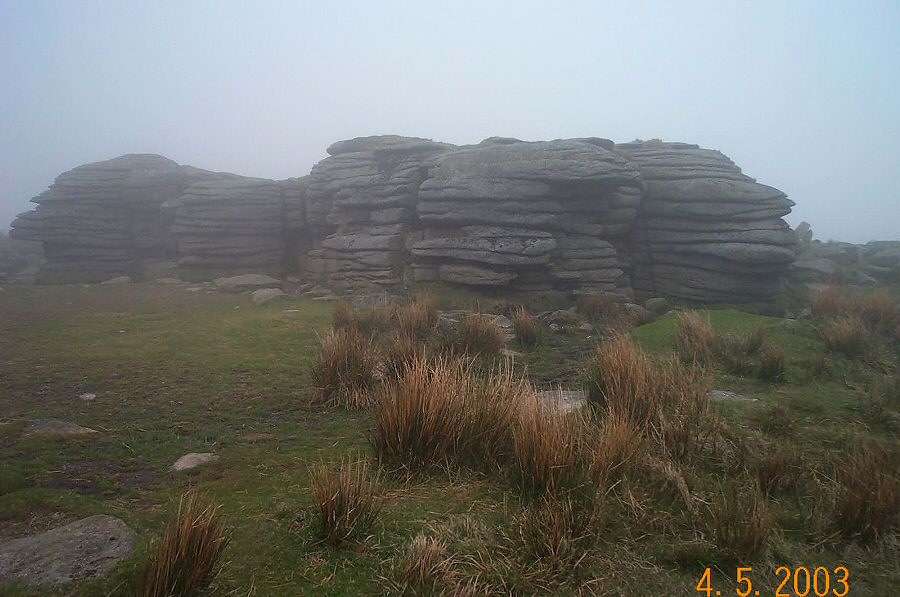
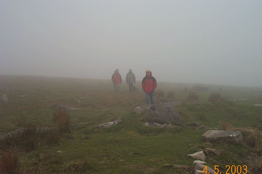
Lints TorLints Tor (SX 580875) lies within the broad valley of the upper Ockment. It is surrounded by the great hills of Amicombe, High Wilhays and Great Kneeset but it is nonetheless distinctive since it has its own small mound topped by a turret that arises from the West Ockment valley. The views from the tor are splendid. To get to this tor means walking over some of the wildest parts of North Dartmoor. However, you're never very far away from the military roads.Drive to OP 15 by the military road from Okehampton Camp. Park at SX 603878, and take the south track. Shortly before the track swings around to the NE bear off towards the small pool of Ockerton Court. From the pool head south towards the West Ockment River and follow the stream up to the source and Cranmere Pool. Then take a westerly bearing towards Black Ridge. After a short walk over the peat hags you'll meet the peat pass which takes you over the ridge. There are excellent views from here. Make for Great Kneeset which also has good views. Take the westerly path down to Broad Amicombe Hole. Head north up to Kneeset Foot and cross the West Ockment. Carry on northwards up the slope to Lints Tor. It's best to loop around from Lints to Dinger Tors to avoid the wet (and steep) ground that lies between them. Finally, take the military path that will take you back to OP15.This is a reasonable walk of around 7 miles involving some gentle climbs. The last 2 miles are along a military track. It may be quite wet underfoot and if mist appears then care is needed since it's pretty exposed up here. Depending on your pace allow about 4 hours. Map and compass are essential. The photos of this walk show how quickly mist can gather over the higher parts of the moor.This area lies in the army firing range.
|
||||||||||||||||||||||||||||||||||||||||||||||||||||||||||||||
All | Little | Shorter | Standard | Longer | Tors | Relics | History | Links | Panoramas | Home | ||||||||||||||||||||||||||||||||||||||||||||||||||||||||||||||