All | Little | Shorter | Standard | Longer | Tors | Relics | History | Links | Panoramas | Home
|
||||||||||||||||||||||||||||||||||||||||||||||||||||||||||||||||
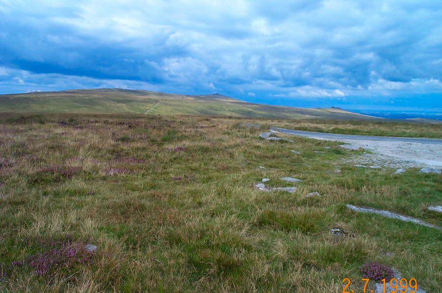
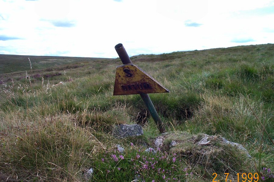
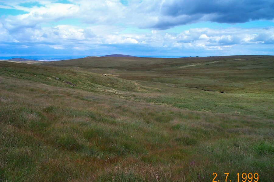
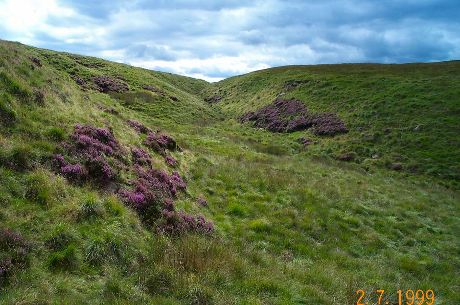
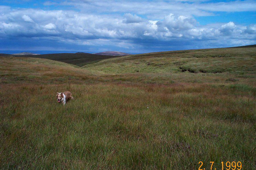
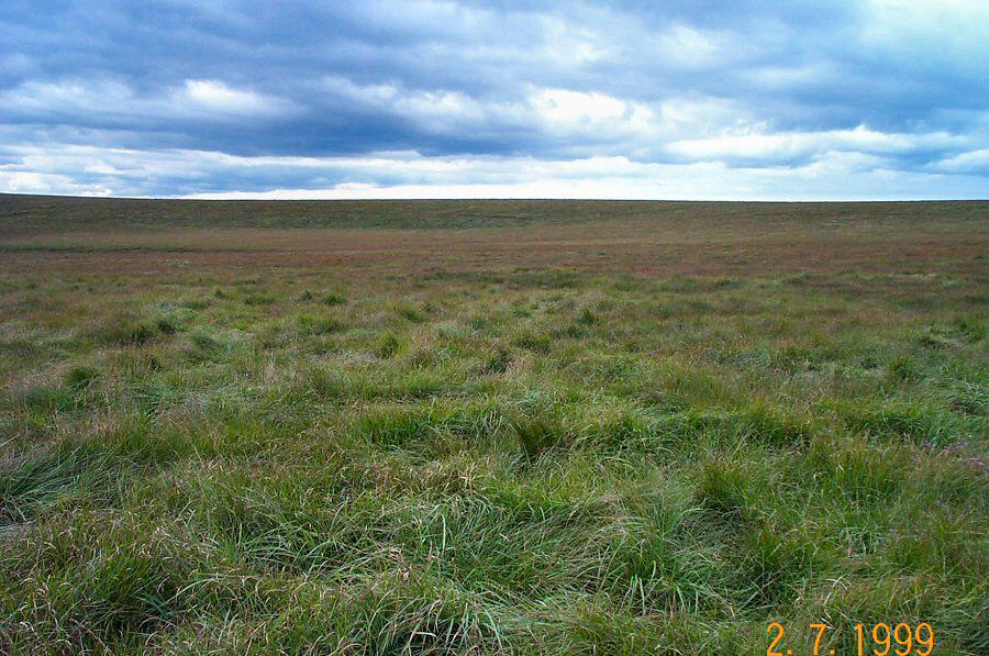
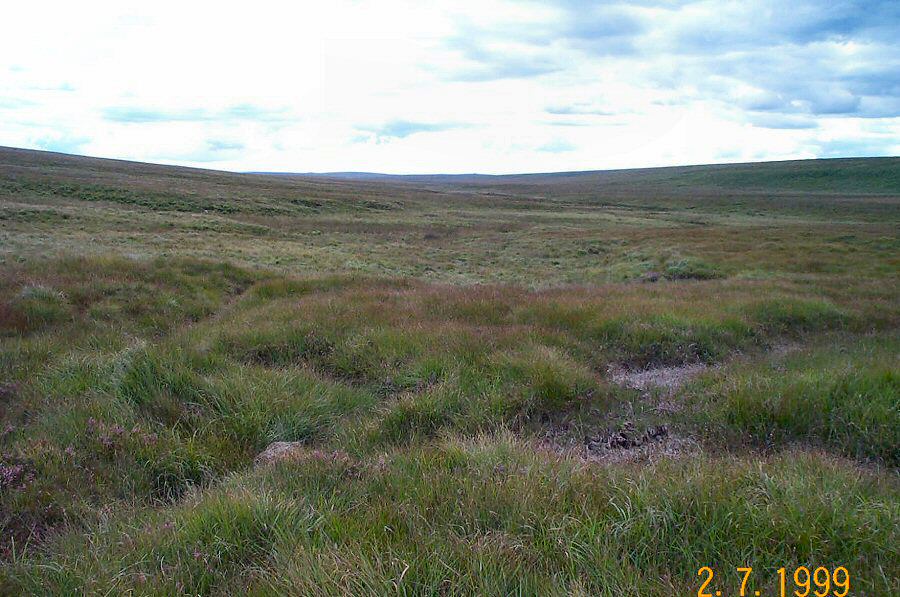
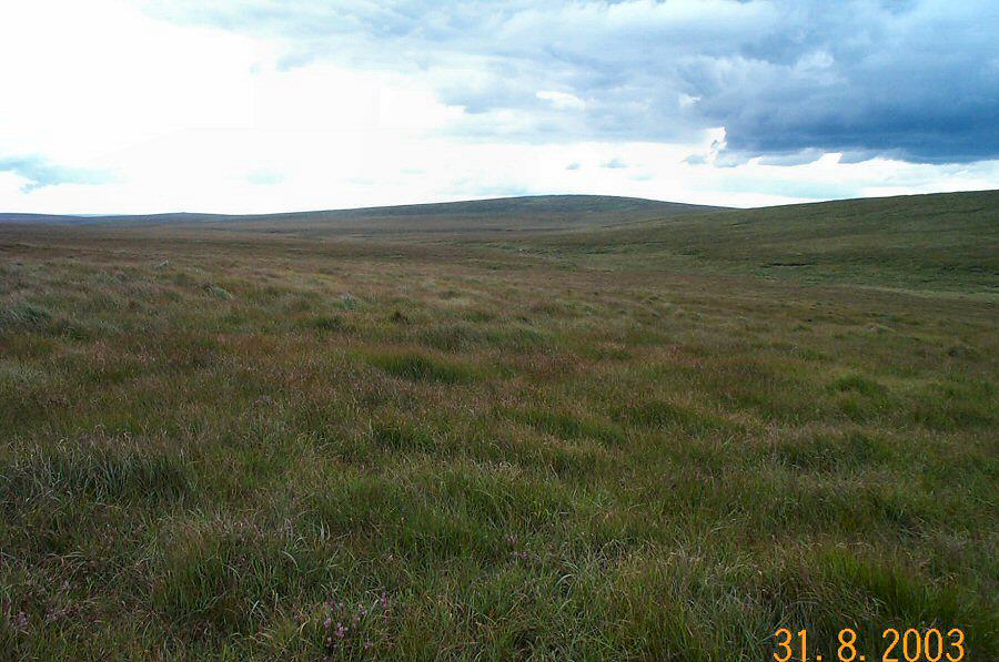
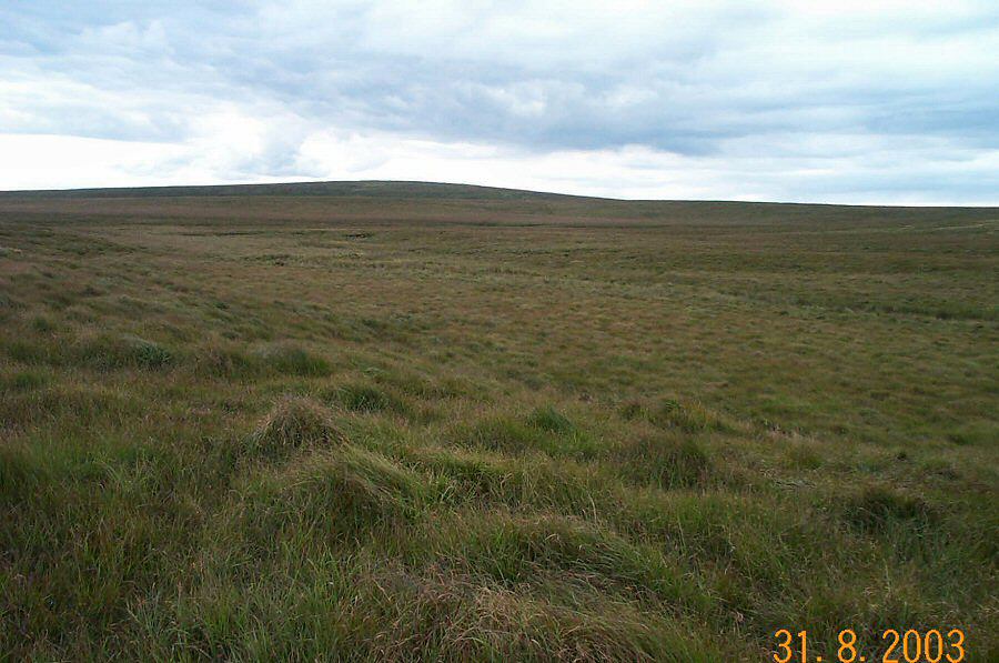
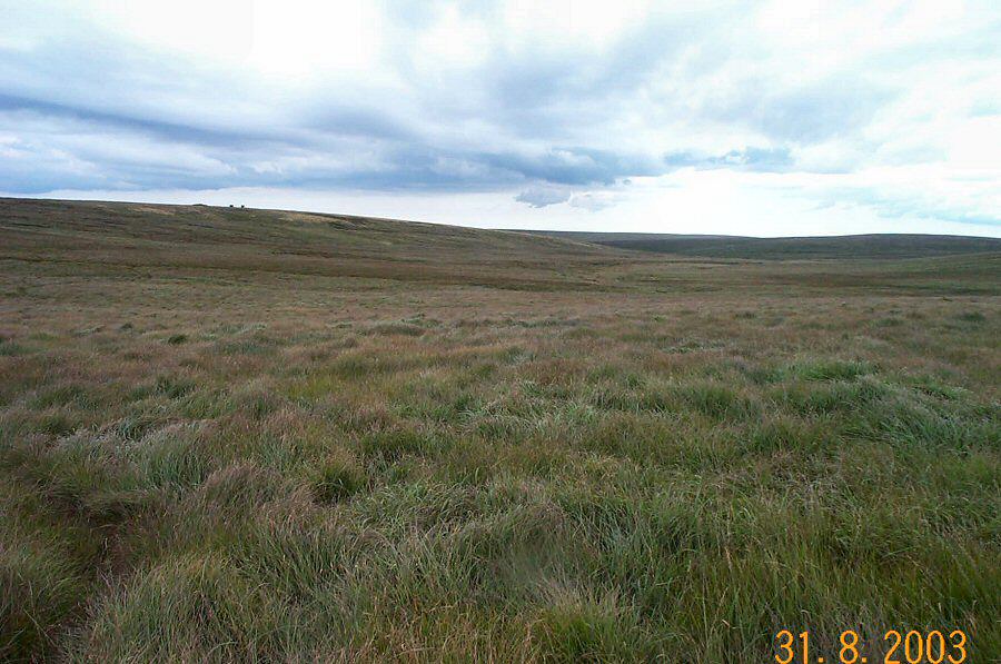
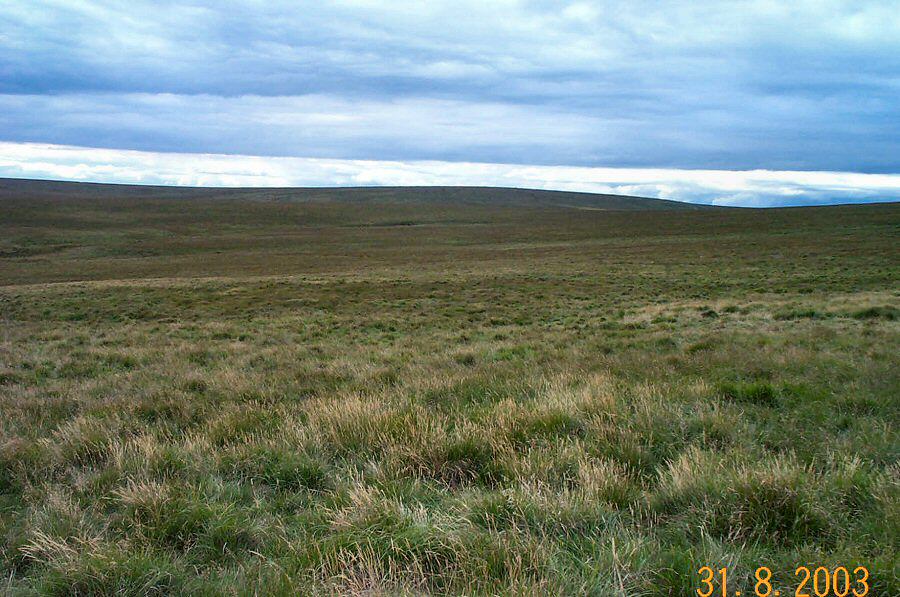
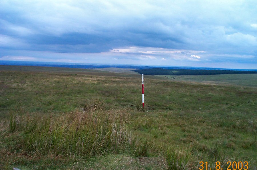
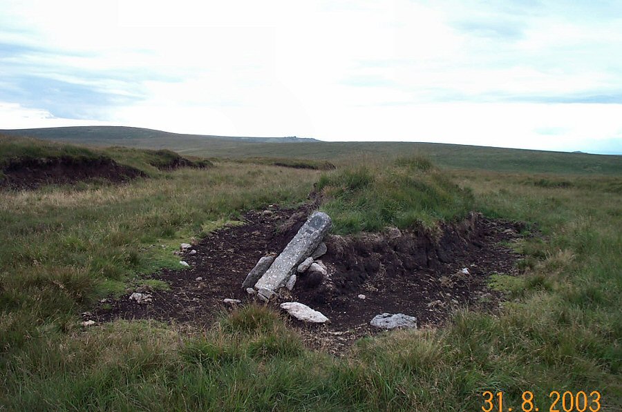
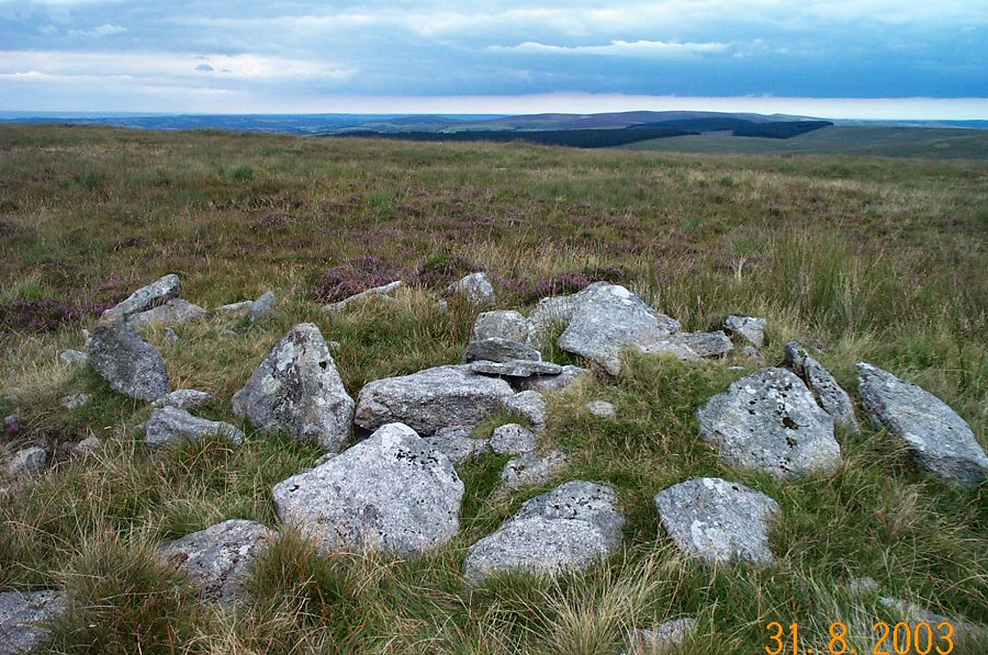
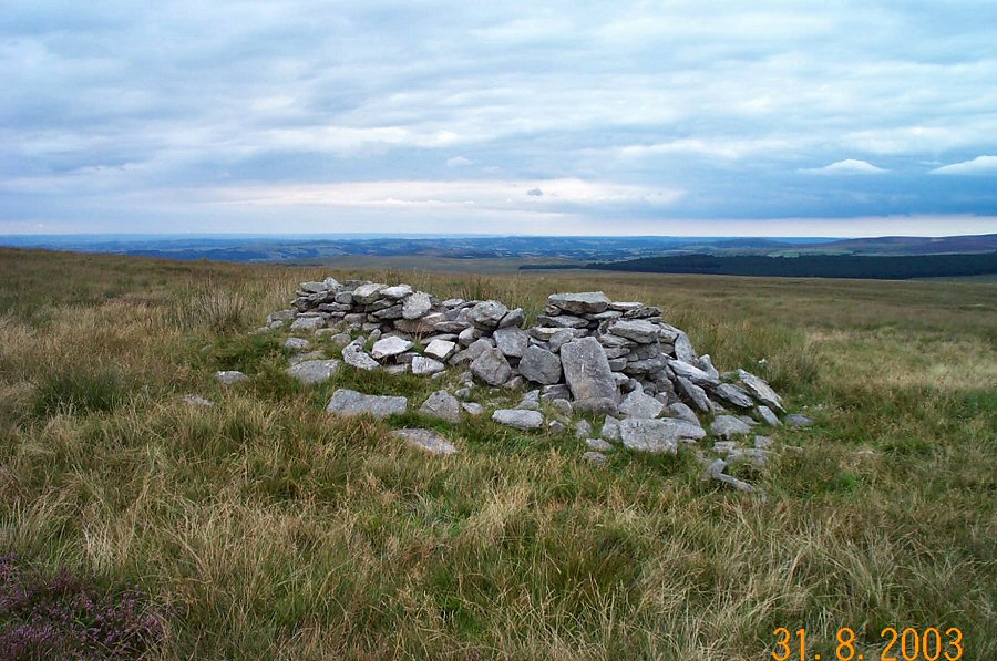
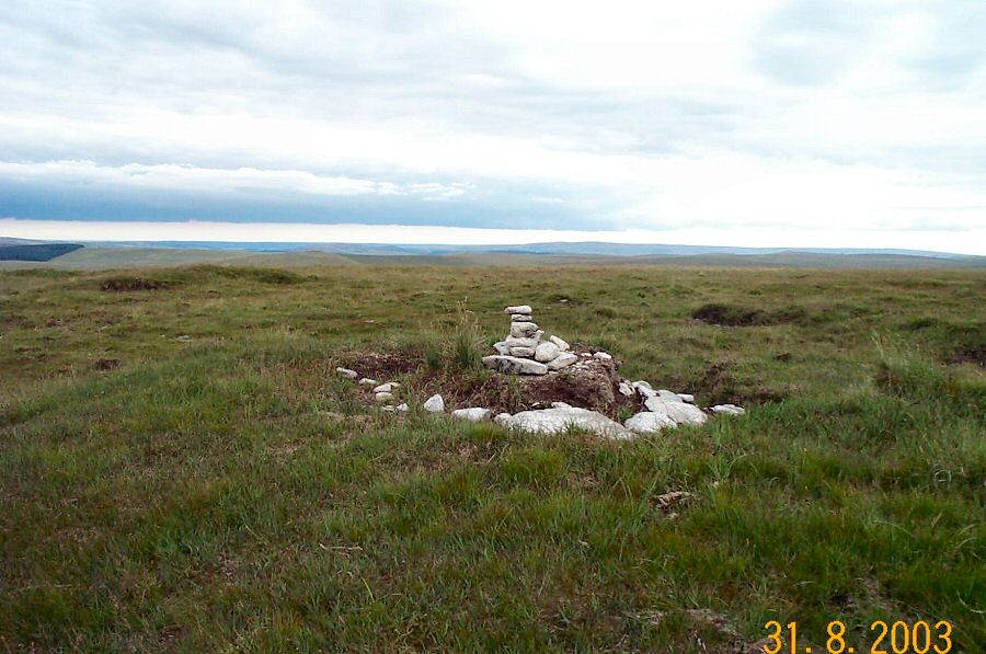
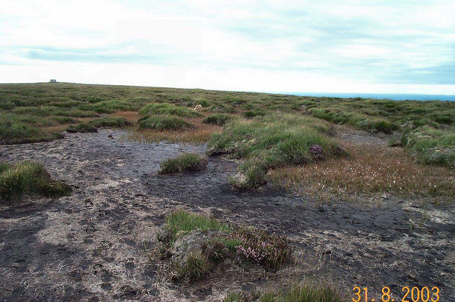
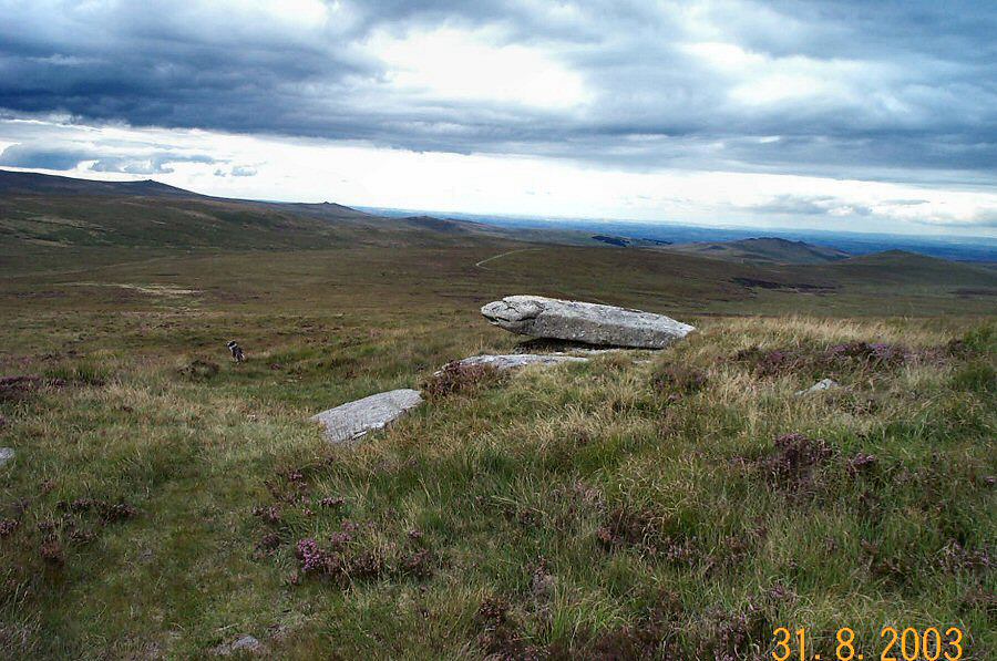
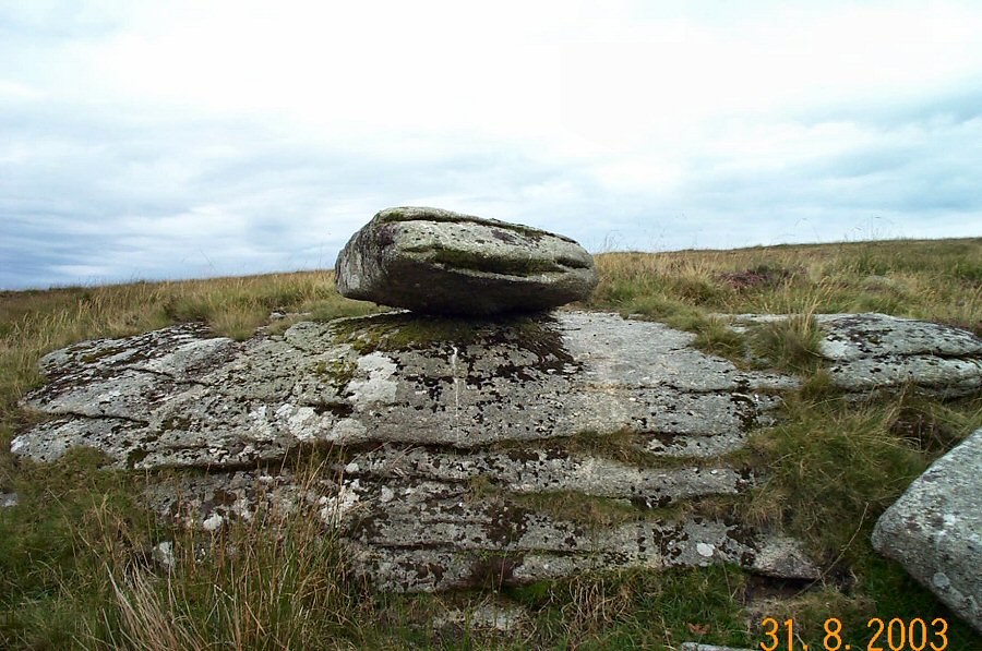
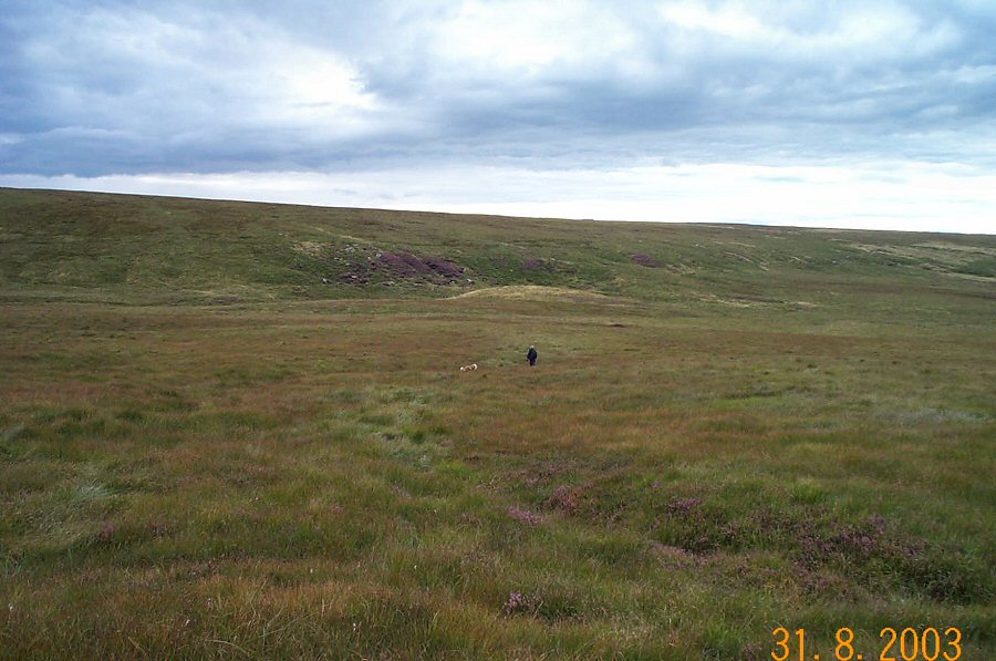
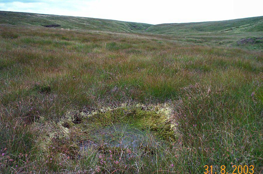
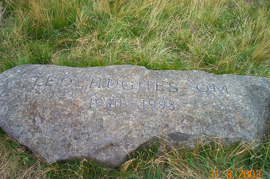
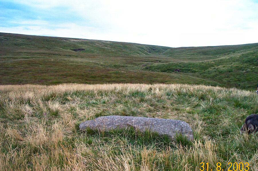
The Ted Hughes' memorialThe late Poet Laureate, Ted Hughes lived in Devon for almost 40 years, until his death in 1998. He loved Dartmoor and so it seems fitting that in a fairly remote area in the upper Taw valley a large granite block inscribed with his name has been placed at SX 609865. How did the memorial get there? It is of Dartmoor granite, but from another part of the moor. Maybe it was a military exercise? Some say that a helicopter was used, with the agreement of Prince Charles who owns the area and was apparently a friend of the poet. What is certain is that the Duchy of Cornwall doesn't usually permit memorials on Dartmoor. Simon Hall of the BBC found it after searching for 2 years. Ted Hughes's will asked for this stone, and after some very cryptic clues from the poet's friends he discovered it on top of an inconspicuous mound.Although the memorial is remote it is easy to get to. But some of the more inaccessible parts of North Dartmoor can be reached from here. This walk also visits the heads of three of the main rivers of Devon - the Taw, the Dart and the Teign. The Taw and Dart heads are very near each other being simply separated by a ridge of granite. The upper East Dart valley is one of the most secluded places on Dartmoor and has a desolate air that is not to everyone's taste.Approach the Observation Post 15 (SX 603878) by the military road from Okehampton Camp. Park, take a southerly bearing and head down the rough path. As the path turns to the east carry on south beside the Taw valley. Cross the stream at any convenient place and head up the narrow valley to get to the broad watershed at the top. Carry on south keeping the East Dart to your right (ie. west) and walk over the rough ground for a mile or so until you get to a tinner's hut beside the stream. Then head east towards Quintin's Man skirting the wet grass of Teign head on your right (ie. south) as you go. The walking is a bit easier than the previous section. From Quintin's Man you can take the well worn track along the ridge to Whitehorse Hill and Hangingstone. After admiring the view, head NW down the slope, passing the namesake rock and make for a low mound in the upper Taw valley. This may be awkward walking. From the memorial mound it is 10 mins to get to the military track and thence back to OP15.Allow 4 - 5 hours for the 7 miles walk - which is not an easy one. In winter, or in the mist some of this area is very exposed and lonely. It could get wet underfoot but there are no really boggy places apart from the heads themselves.This area lies in the army firing range, so it shouldn't be approached if a red flag is flying nearby. Weekends and August is usually just fine.
|
||||||||||||||||||||||||||||||||||||||||||||||||||||||||||||||||
All | Little | Shorter | Standard | Longer | Tors | Relics | History | Links | Panoramas | Home | ||||||||||||||||||||||||||||||||||||||||||||||||||||||||||||||||