All | Little | Shorter | Standard | Longer | Tors | Relics | History | Links | Panoramas | Home
|
||||||||||||||||||||||||||||||||||||||||||||||
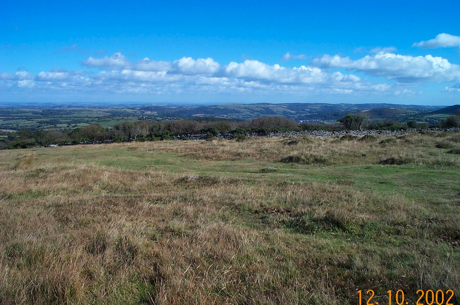
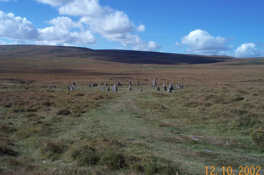
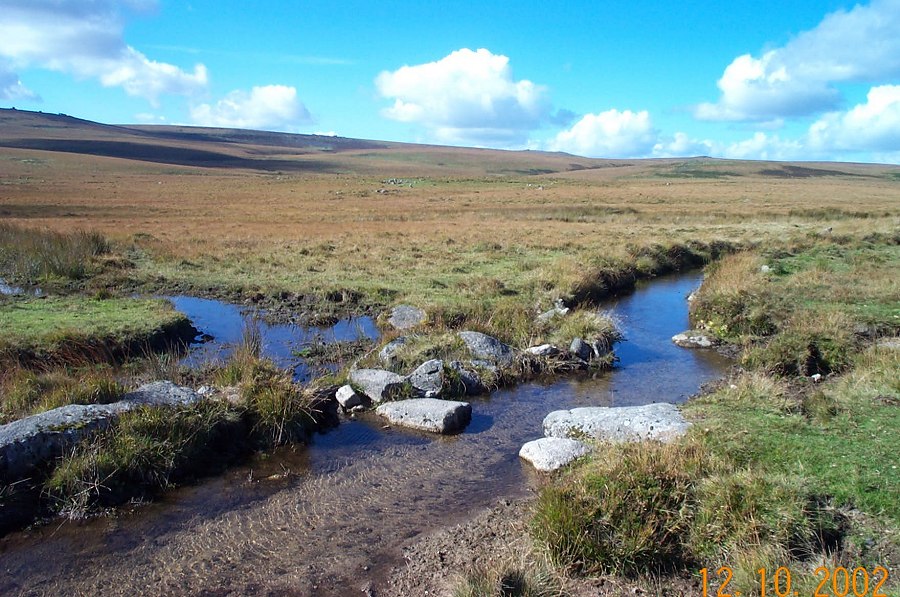
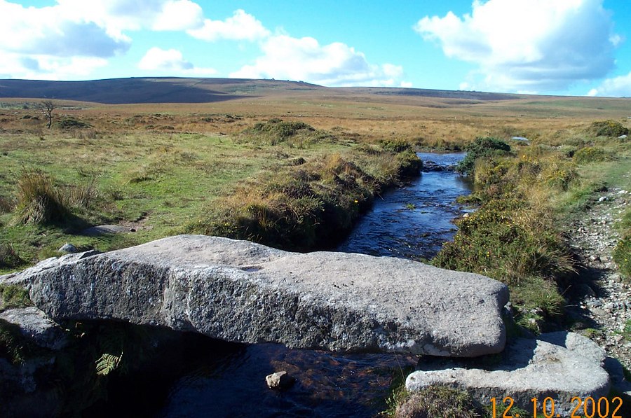
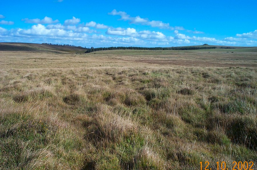
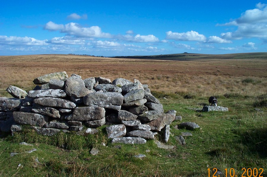
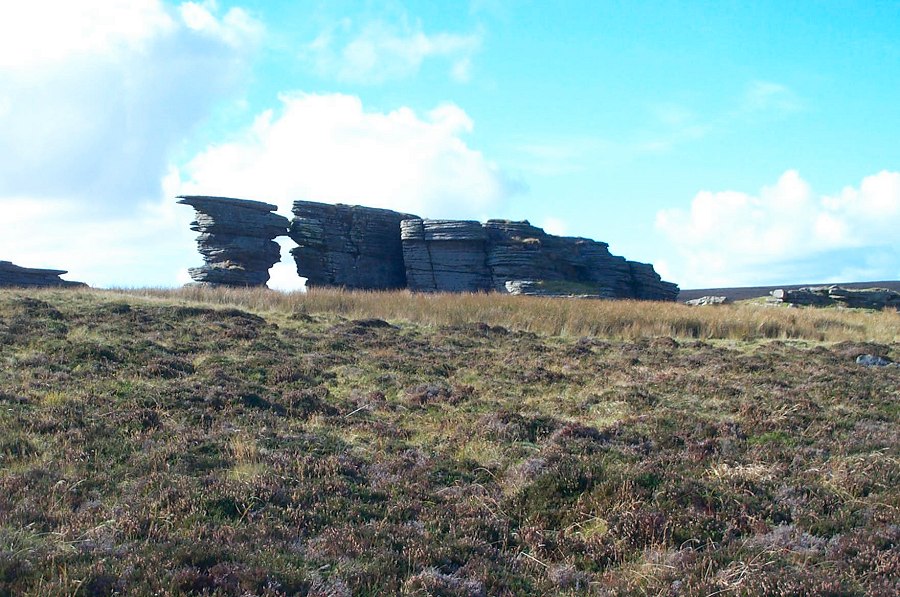
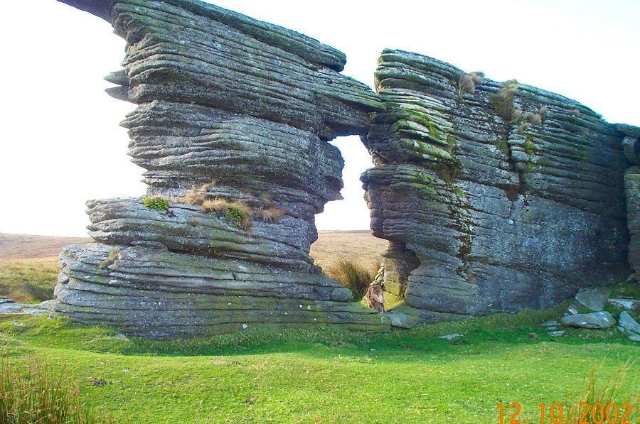
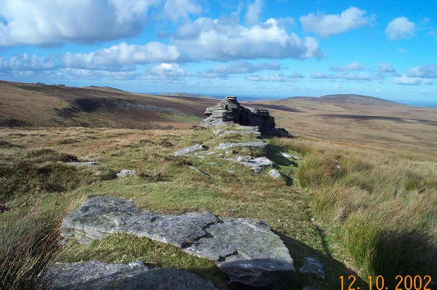
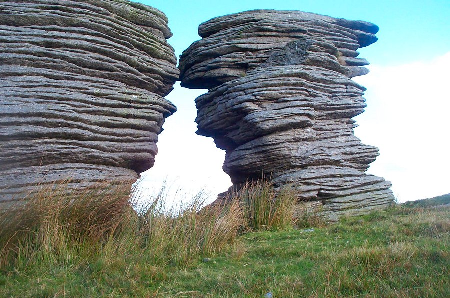
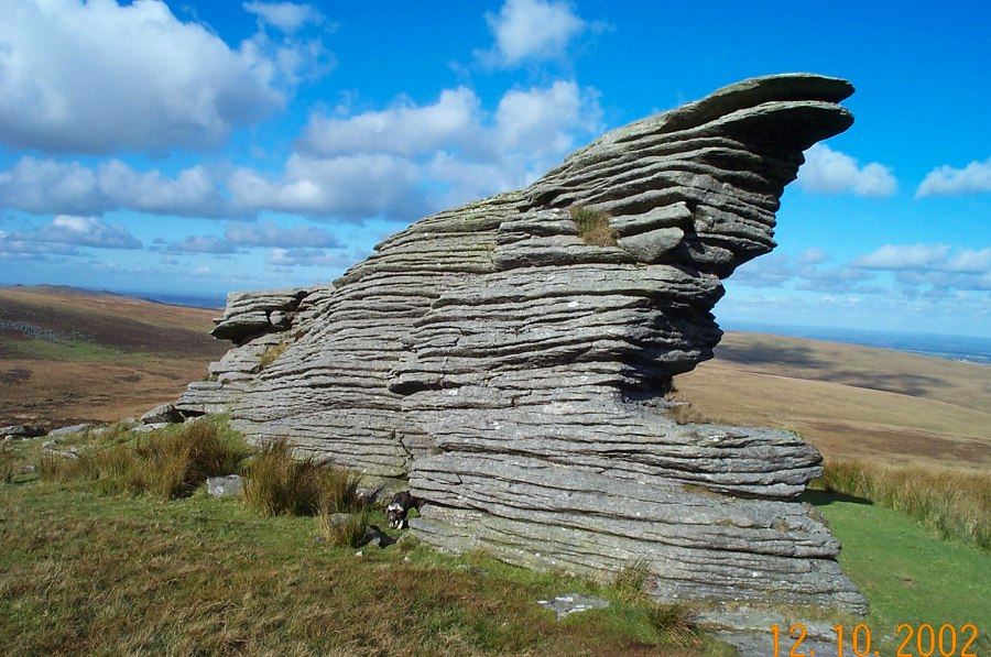
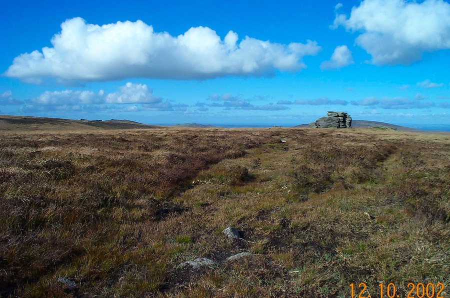
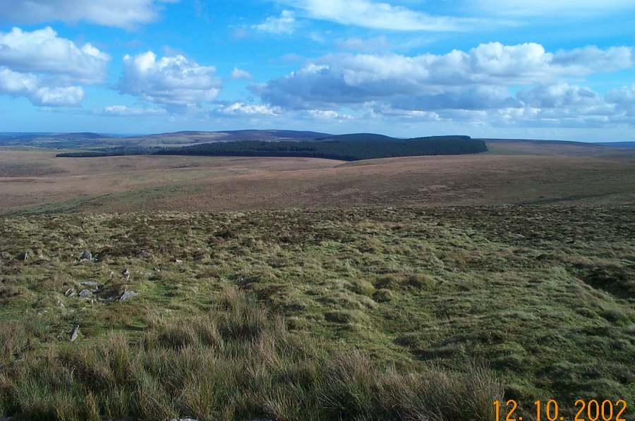
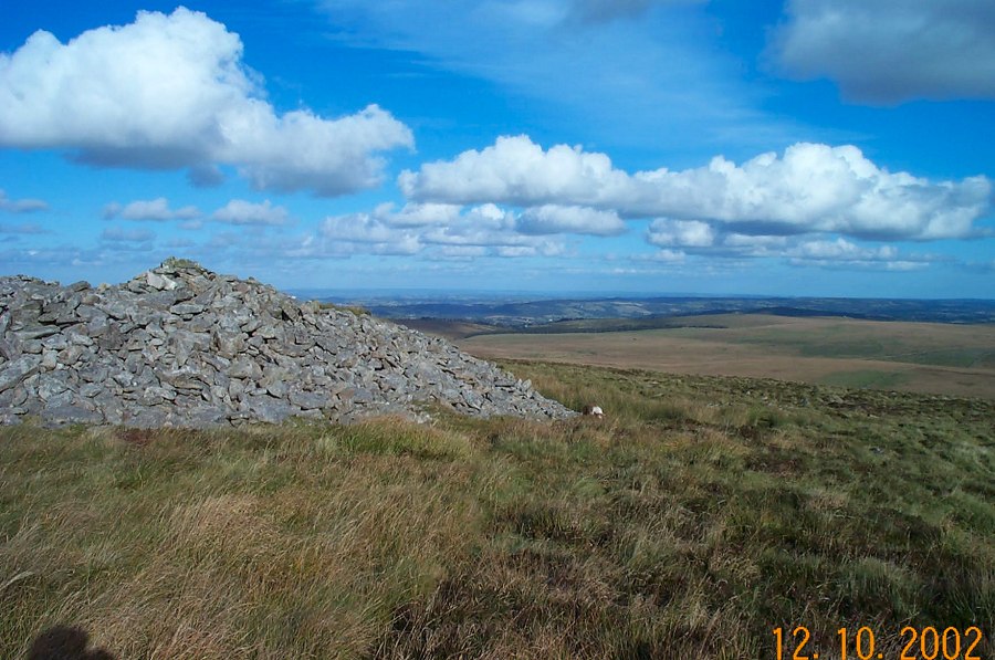
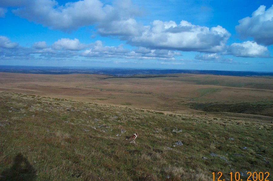
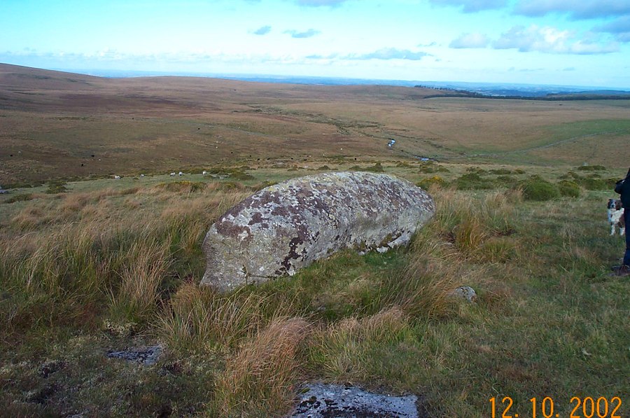
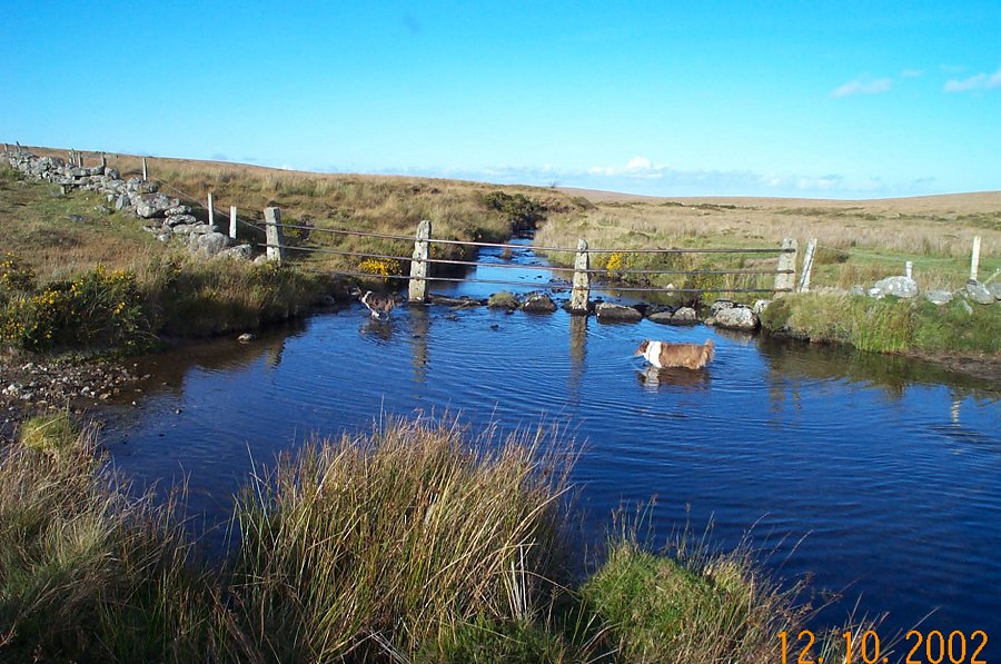
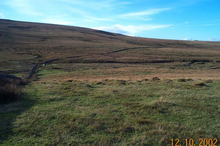
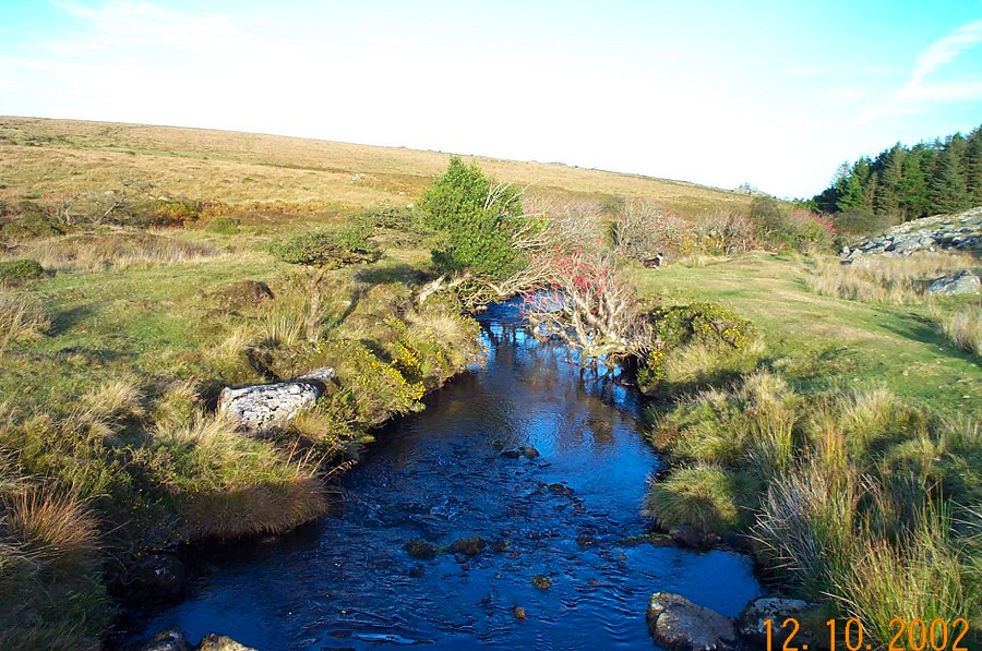
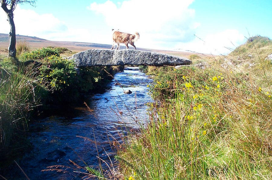
Hew DownHew Down lies on the NE side of North Dartmoor. It is not difficult to get to but it is a splendidly isolated area with good views and atmosphere. In 1240 a number of knights rode around Dartmoor in order to define the extent of the moorland more precisely. The stream that tumbles down the side of the steep hill was used to define part of the eastern boundary edge.Park near Scorhill Farm (SX 661877) and walk over the hill to the Scorhill circle. Make for the Teign river and cross a clapper bridge over the Walla brook. Then head due west using Watern Tor as a bearing. This is straightforward ground but just under where Watern Hill begins to arise from the plain there is some wet ground. About 100m north of Will May's house there is a dry part. Then head up the slopes to Watern Tor. After admiring the splendid views head south to the cairn near to the newtake wall. Descend down Hew Down and make for Manga Rock. It is now easy to make for the rails across the Teign river at SX 640860. Continue along the newtake to Stonetor Hill and then head off northwards towards Scorhill clapper bridge and thence to the car park.This is a good walk with a good climb up to Watern. There are splendid views from the Watern ridge and it is an excellent way to approach Hangingstone Hill or Whitehorse. Gidleigh Common can be surprisingly wet or boggy around the Teign and Walla.Watern Tor lies on the edge of the military range.
|
||||||||||||||||||||||||||||||||||||||||||||||
All | Little | Shorter | Standard | Longer | Tors | Relics | History | Links | Panoramas | Home | ||||||||||||||||||||||||||||||||||||||||||||||