 |
SX 653841. One of the forest paths in Fernworthy forest. This one leads down to the South Teign river. |
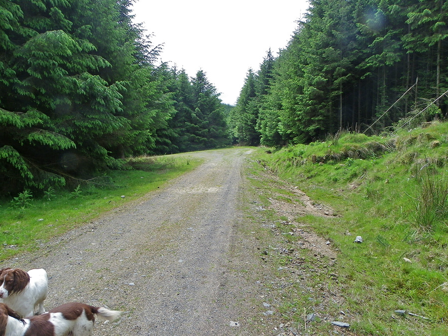 |
SX 648835 - a forest path near to Hemstone Rocks. Apparently there are a lot of old remains around here but unfortunately the tree plantation makes this difficult to appreciate. But this is a great dog walking place.
|
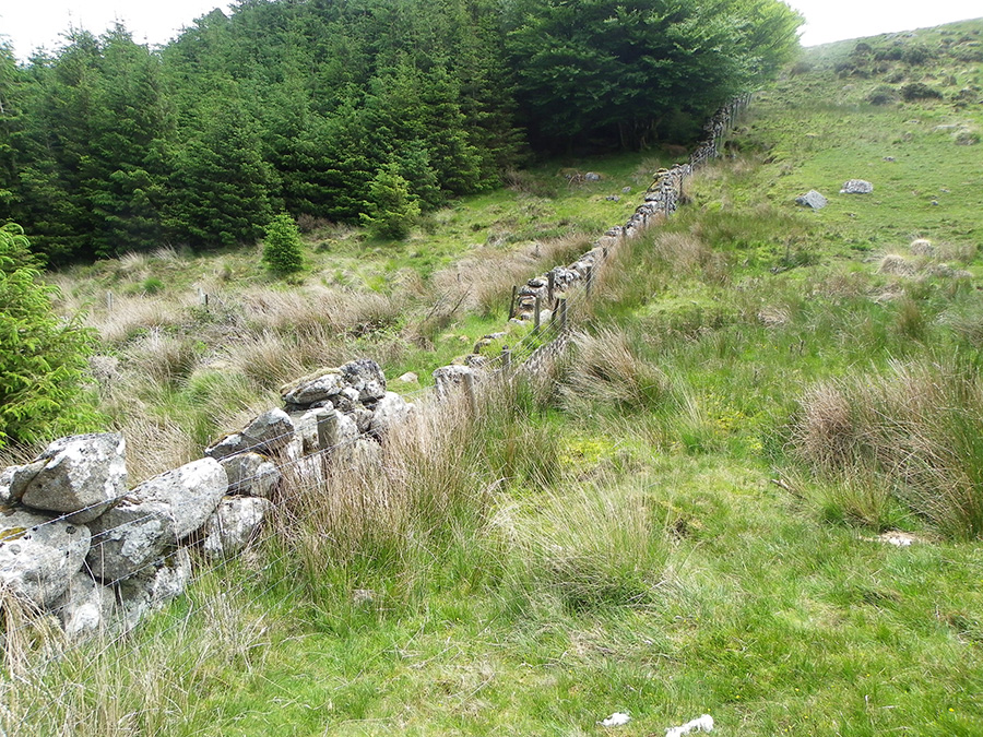 |
SX 647831 - edge of the Fernworthy Plantation and the moor.
|
 |
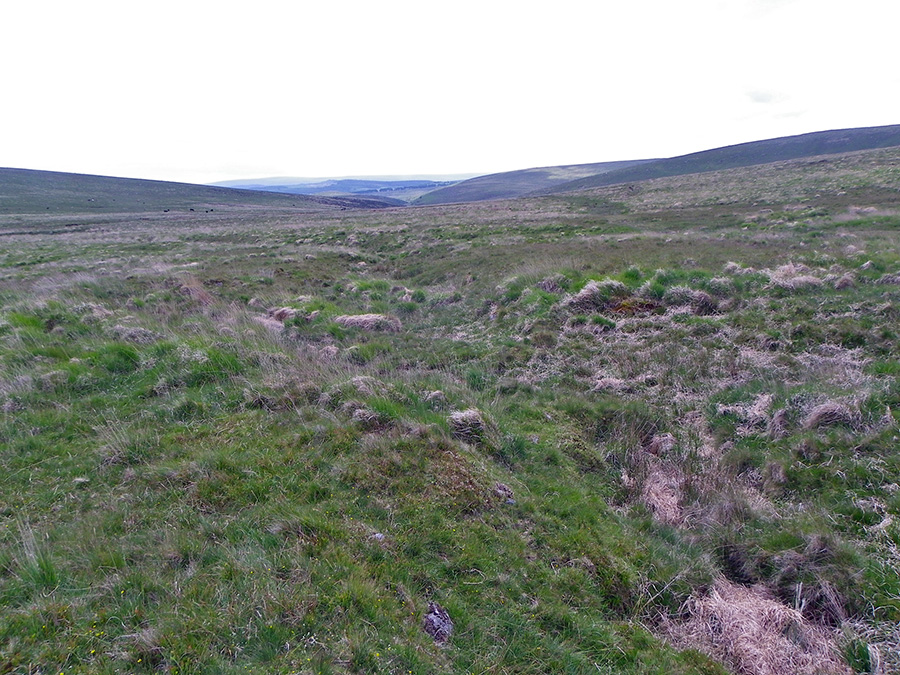
SX 643829 - the valley of the south Teign as it heads on down through Fernworthy and ends up into the Reservoir.
|
 |
SX 640829 - by the side of the Varracombe leat. The leat was built in the early 1800's and was used to augment the water supplied by the Birch Tor leat to the Birch Tor workings. There's a prehistoric enclosure here somewhere but it is not obvious.
|
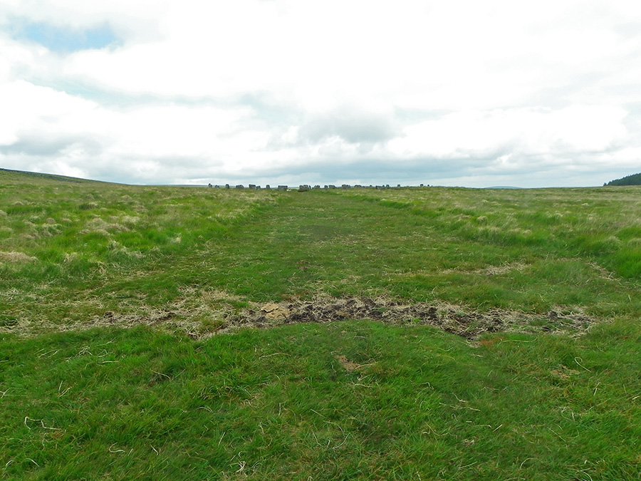 |
SX 639830 - on the path approaching Grey Wethers. Wethers is an old name for sheep. From here the stones do look like sheep.
|
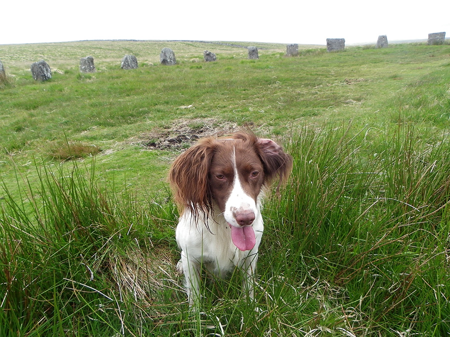 |
SX 639831 - an intent springer inside the Grey Wethers stone circle.
|
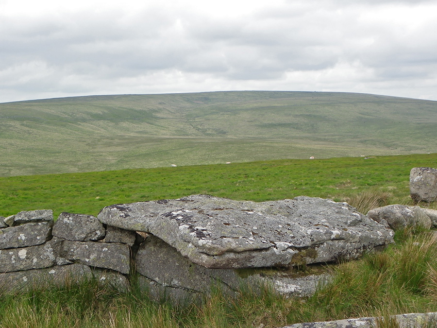 |
SX 633830. The north view from Sittacombe Tor looking directly at Great Varracombe and Whitehorse Hill. You can just make out five gentle incised channels on the left. Nowadays no water flows in any of these channels and it has been suggested that they were formed as subglacial meltwater channels when the top of Whitehorse Hill and the upper Great Varracombe valley were covered with glacial ice. It is easy to imagine this but this is still speculative.
|
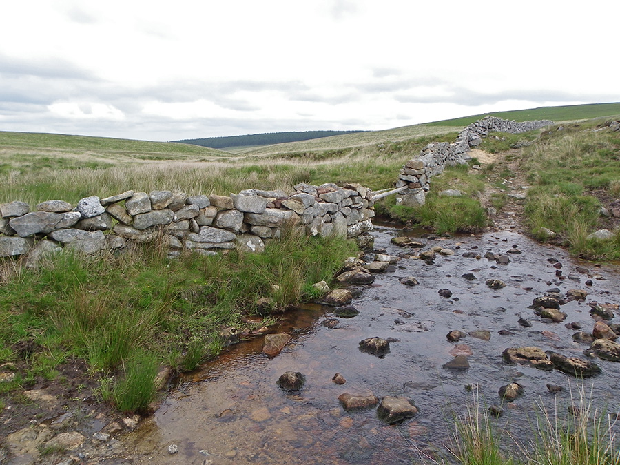 |
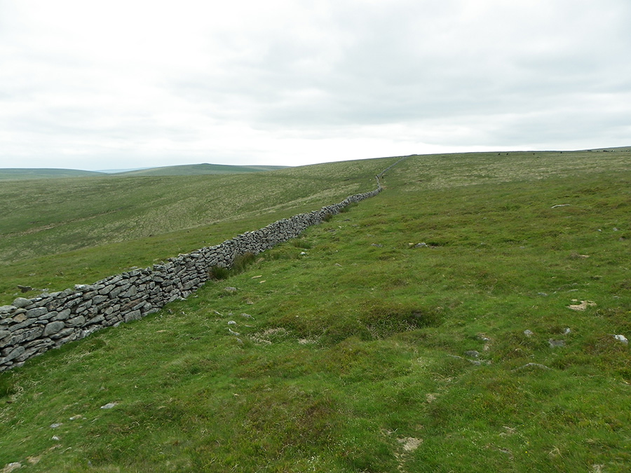
SX 626834. Where the newtake wall crosses over the upper stretch of the North Teign.
|
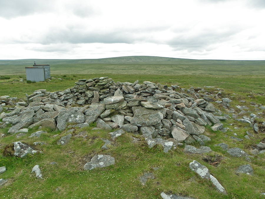 |
SX 621839 - the cairn at Quintin's man. The army hut shows that we are entering the Okehampton military range. Because this walk was done on a Sunday then this is no problem.
|
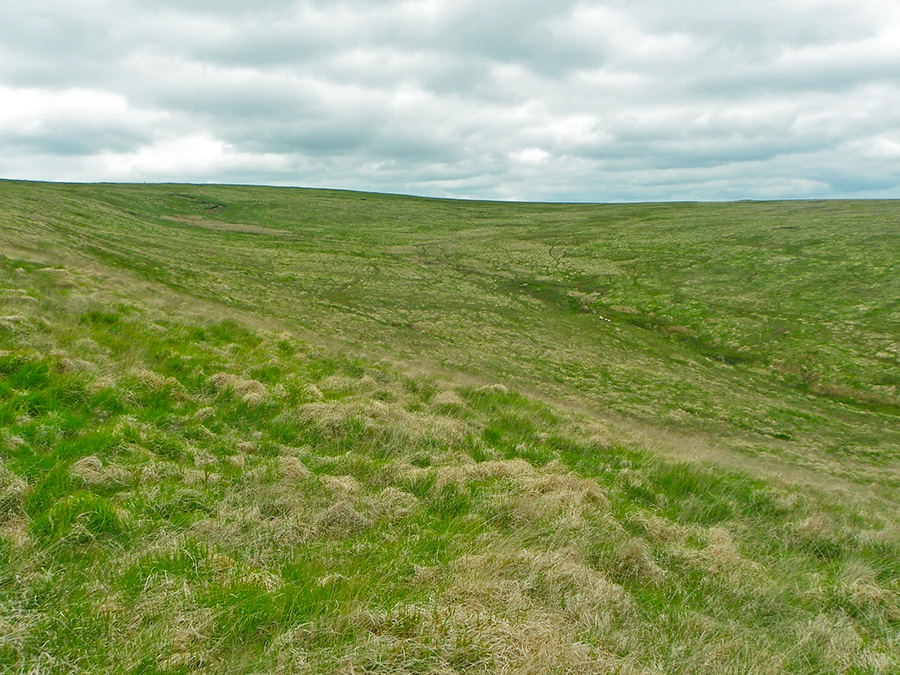 |
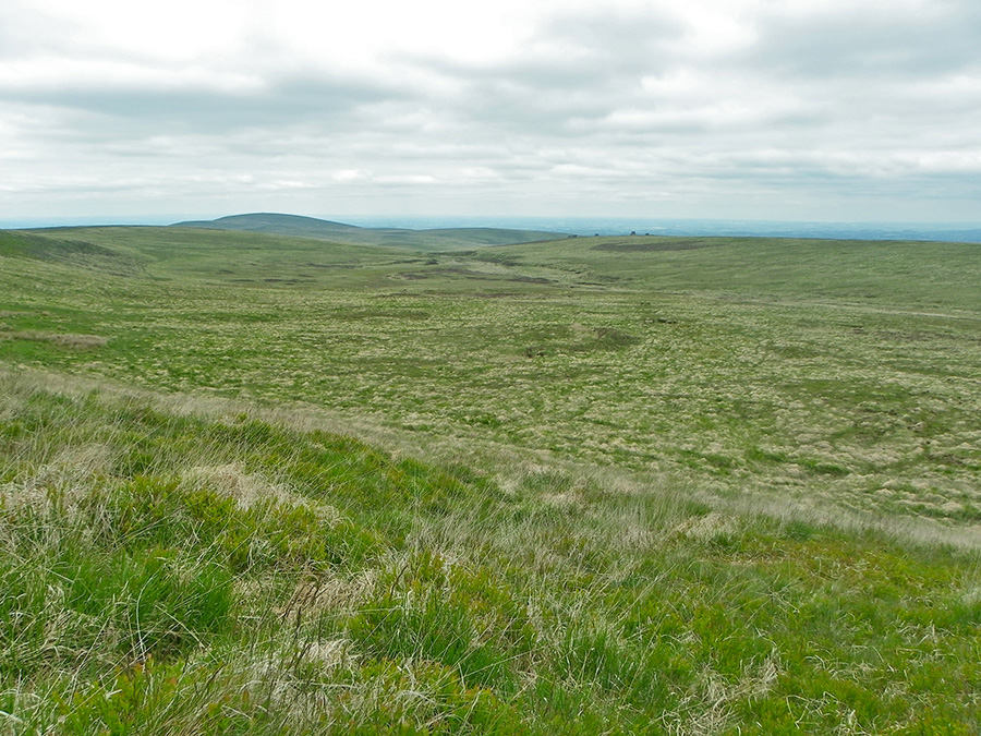
SX 621845 - looking up the Great Varracombe valley. Eric Hemery suggests that the name Varracombe could stem from the Celtic Vwr Cwm - or Great Valley. The shape of this valley could have been formed by a glacier.
|
 |
SX 619847 - looking down the Great Varracombe valley from the top slopes of Whitehorse Hill.
|
 |
SX 618857 - Moute's Inn. This is one of the best preserved of the peat cutters' shelters on Whitehorse Hill. It contains a fireplace and rumour has it that in the past bottles of liquor were stored here thus giving substance to the Inn name. In that case it would then be the highest Inn in England. See more on this at Legendary Dartmoor.
|
 |
SX 616852 - one of the peat cutters' huts on top of Whitehorse Hill. Like most of the peat shelters these were probably constructed in the early 19th century and are smaller and more square than a tinners' hut. |
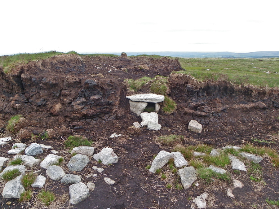 |
SX 617855 - the Bronze Age tomb that caused an archaelogical stir when the contents of the cyst were published. The tomb was dated to 4000 years ago and it contained the remains of a young woman.
|
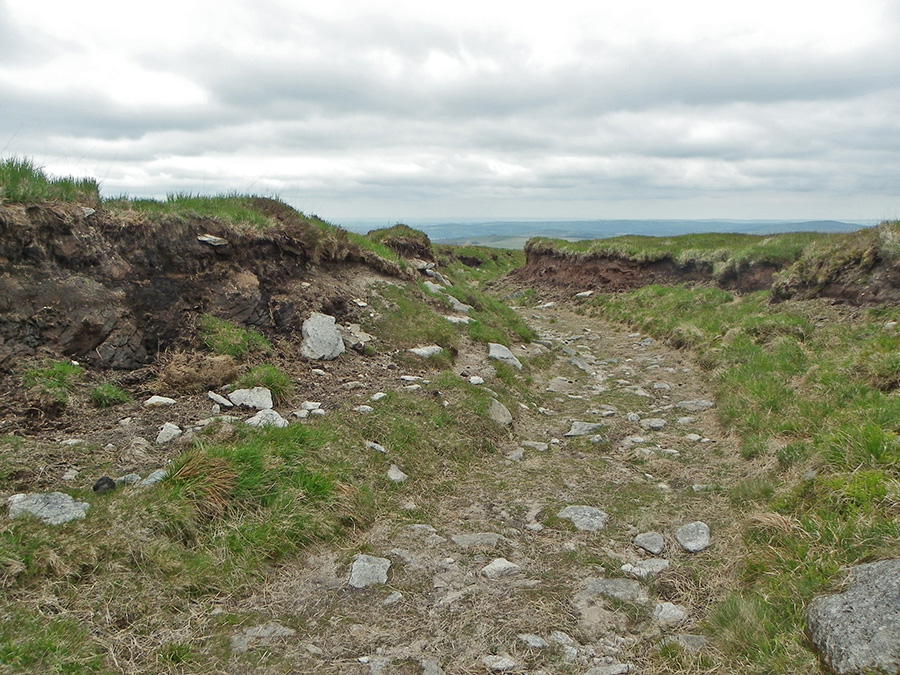 |
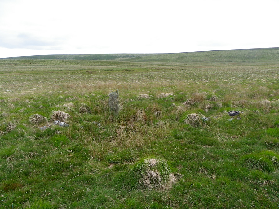
SX 619855 - the Whitehorse hill peat pass. This is probably the best preserved of all of the Dartmoor peat passes which is just as well since there's some pretty squidgy peat hags surrounding this area.
|
 |
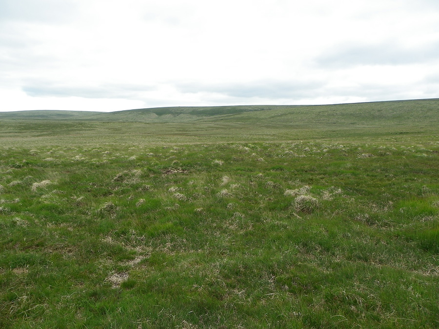
SX 622856 - the view from the east slope of Whitehorse Hill. This is fairly rough ground.
|
 |
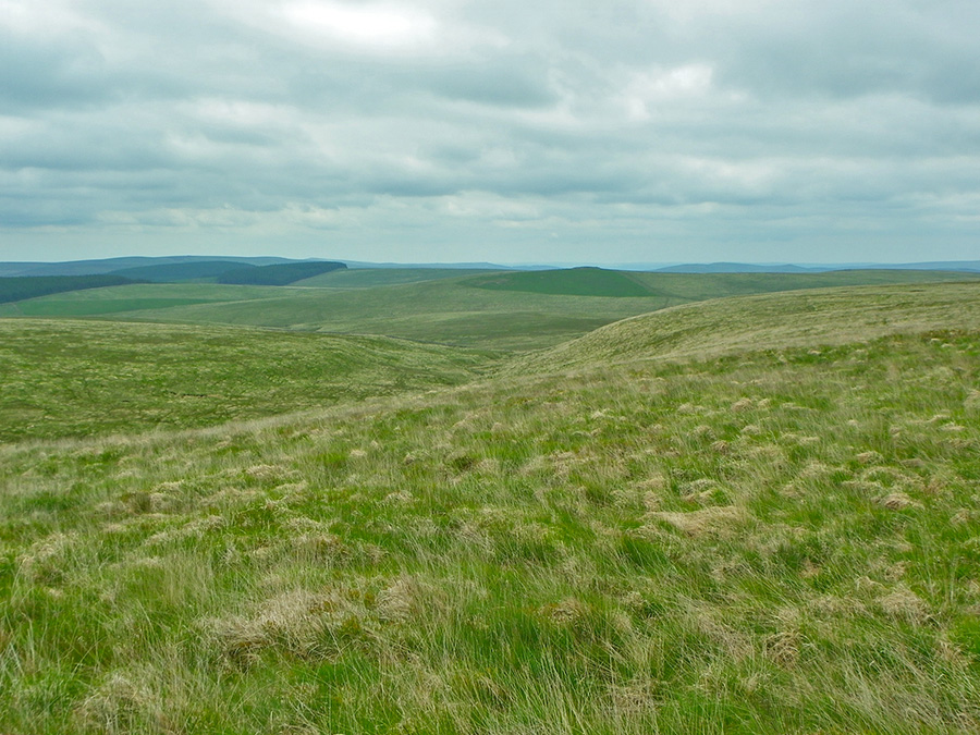
SX 623860 - looking over the isolated Watern Combe. In the mid distance are the characteristic tors of Watern Tor. In the far distance lies mid Devon.
|
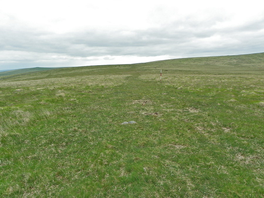 |
SX 627859 - an army path and the red and white range markers. We're on the edge of the Okehampton military training area.
|
 |
SX 629861 - the large cairn on the southern tip of Water Ridge. The views from up here over the surrounding countryside are appropriately superb.
|
 |
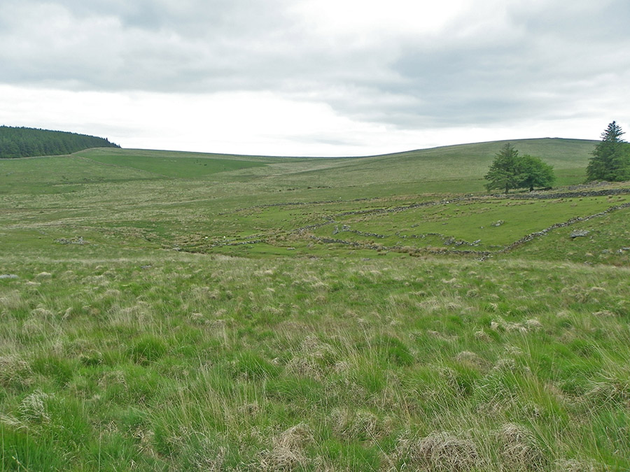
SX 629858 - the newtake wall before the wall birfurcates around Teignhead Great Mire. We follow the left wall which takes us safely down towards Teignhead Farm. The left wall is hardly visible as a wall but it takes a straight line down to the Manga Falls. In mist it would be easy to miss this.
|
 |
SX 629857 - NE view over Hew Down.
|
 |
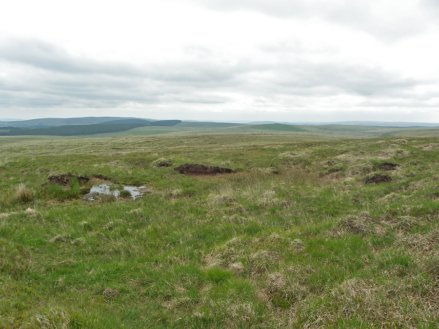
SX 631851 - looking westwards towards Teignhead Great Mire. Looks pretty harmless at this time of year.
|
 |
Looking over towards Teignhead Great Mire from the track at SX 632850. This mire may have been a shallow lake until tinners drained it in their search for metal.
|
 |
SX 635846 - overlooking the Manga Brook as it soon joins up with the North Teign. The Manga Brook drains Teignhead Great Mire. |
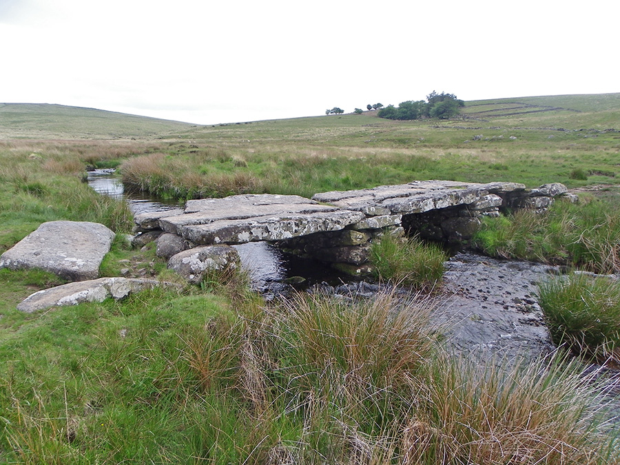 |
SX 639845 - the Teignhead farm clapper bridge over the Teign.
|
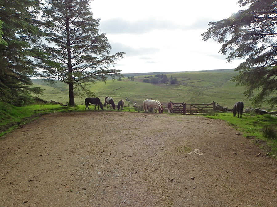 |
SX 641843. A lovely view from the edge of the Fernworthy forest path as it opens out to the moor at Long Ridge. On the hillside behind the ponies lie the remains of Teignhead farm.
|
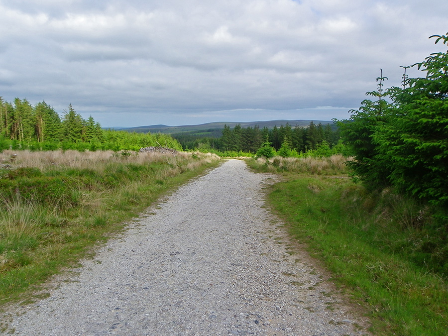 |
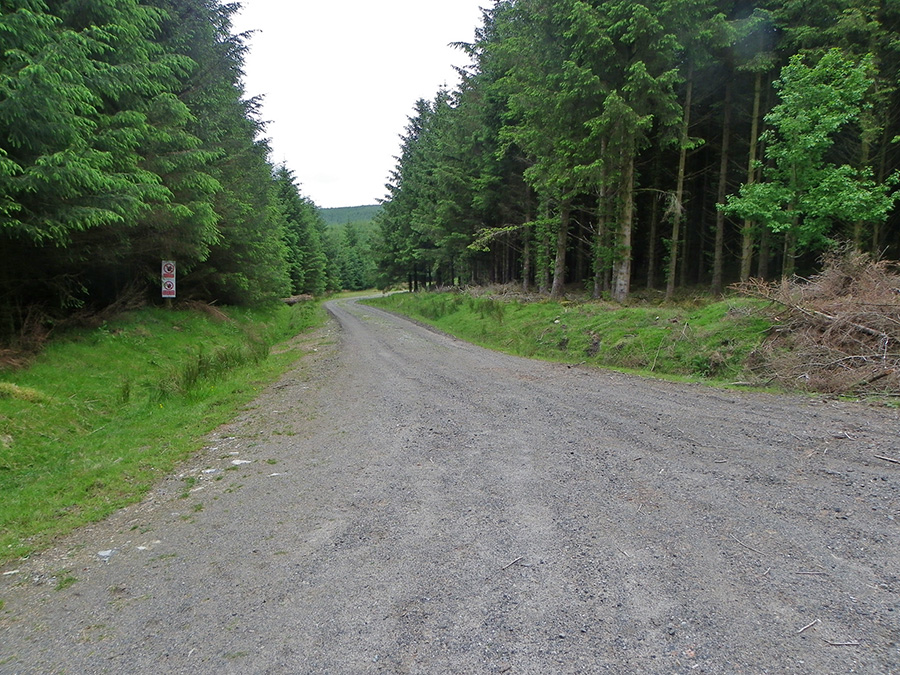
SX 649843. One of the tracks that criss cross the extensive Fernworthy plantation. Many of the tracks are overshadowed by tall stands of hardwood but this is a comparatively open stretch. On the horizon are Easdon and Hameldown.
|
