All | Little | Shorter | Standard | Longer | Tors | Relics | History | Links | Panoramas | Home
|
||||||||||||||||||||||||||||||||||||||||||||||||||||||||||||
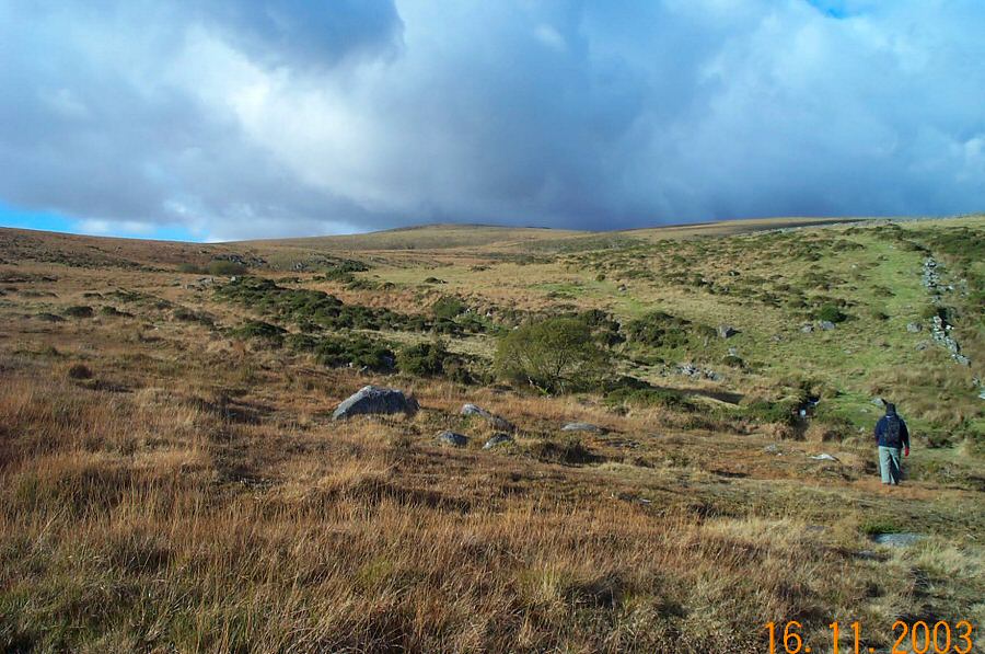
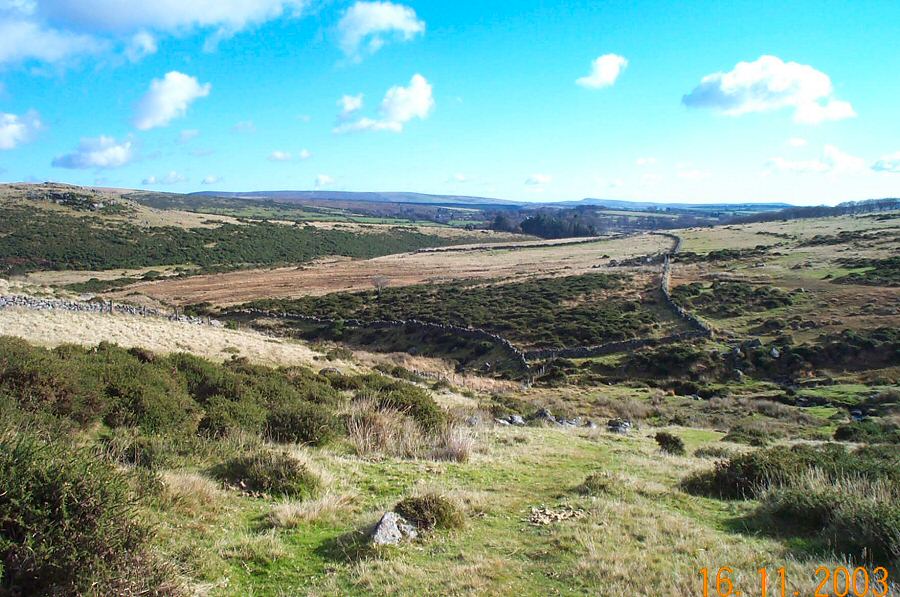
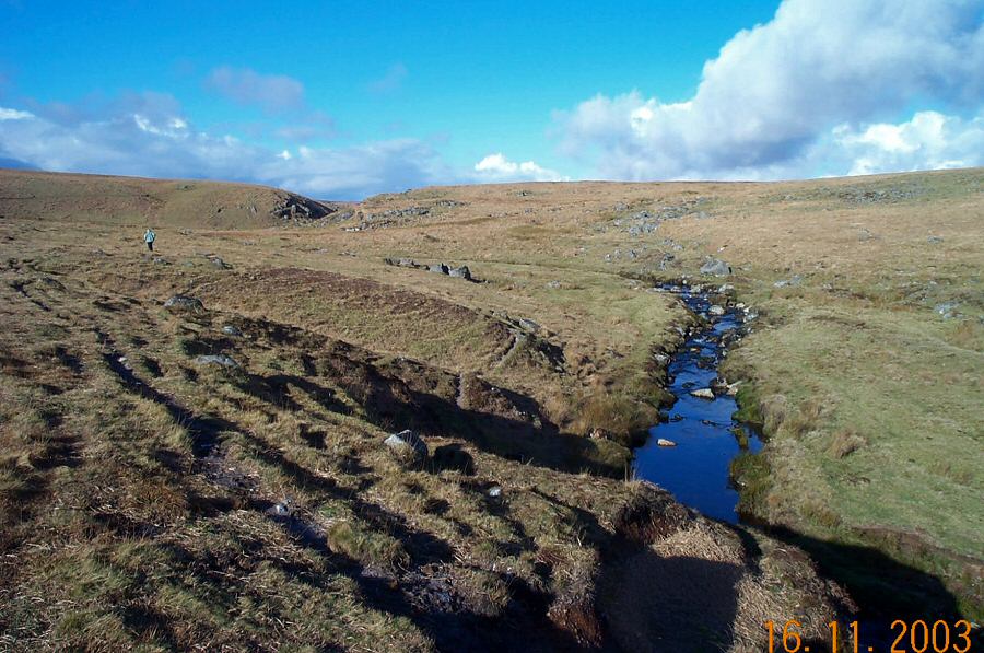
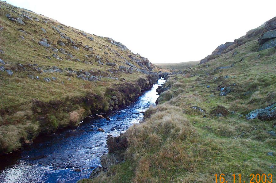
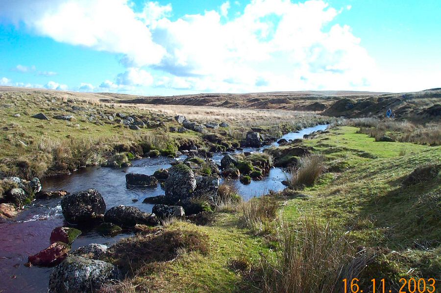
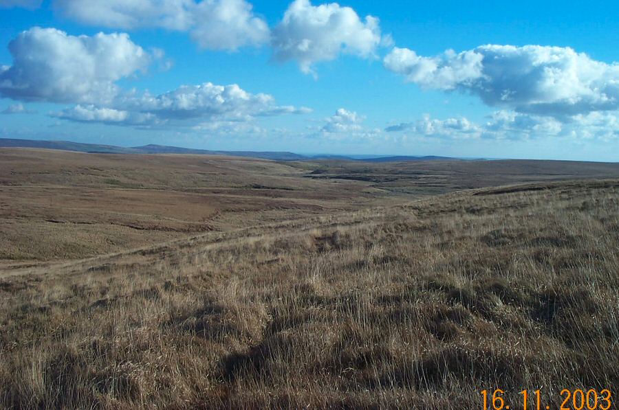
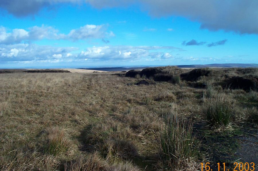
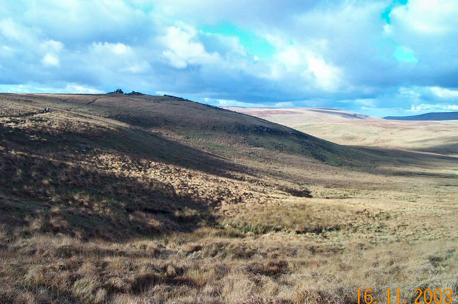
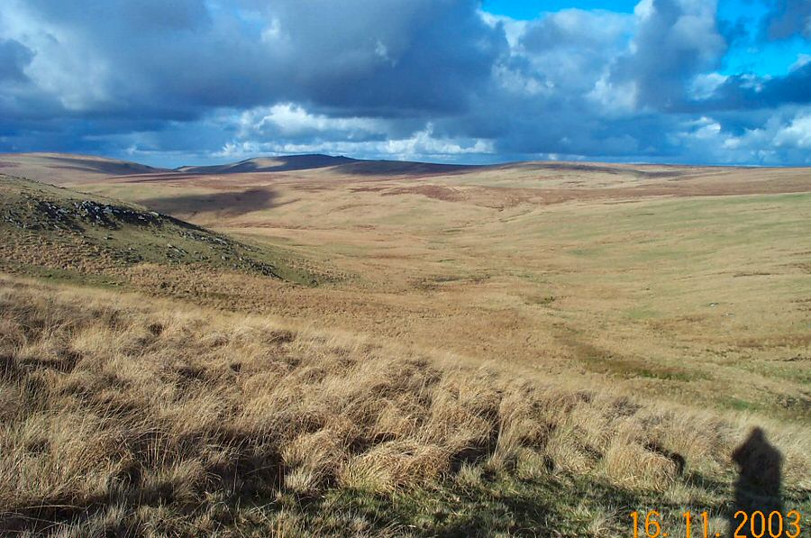
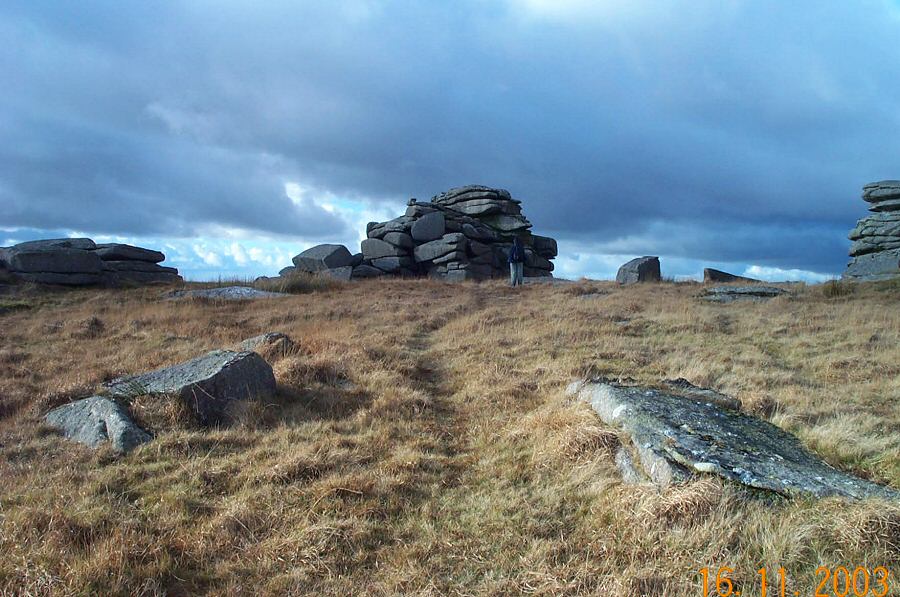
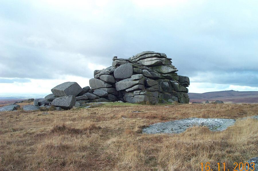
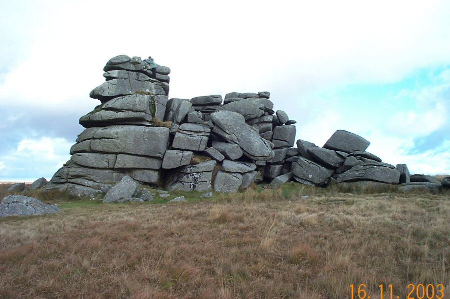
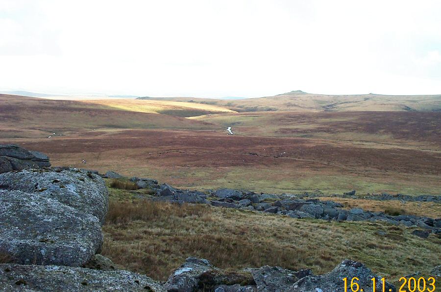
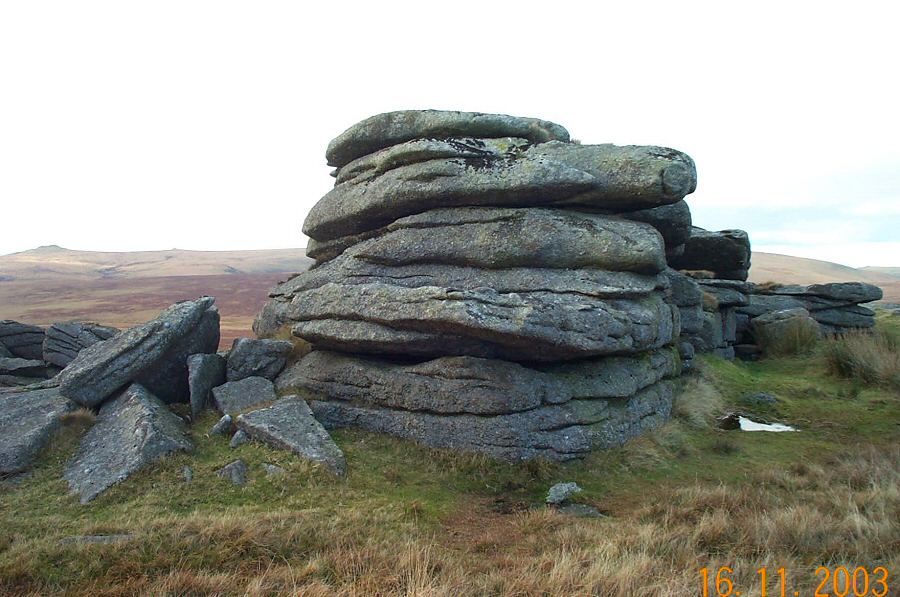
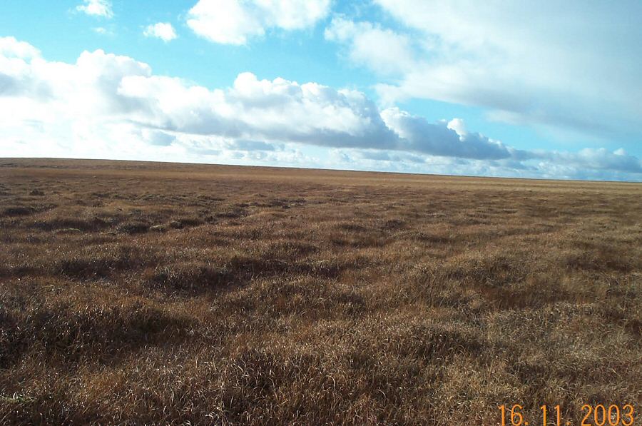
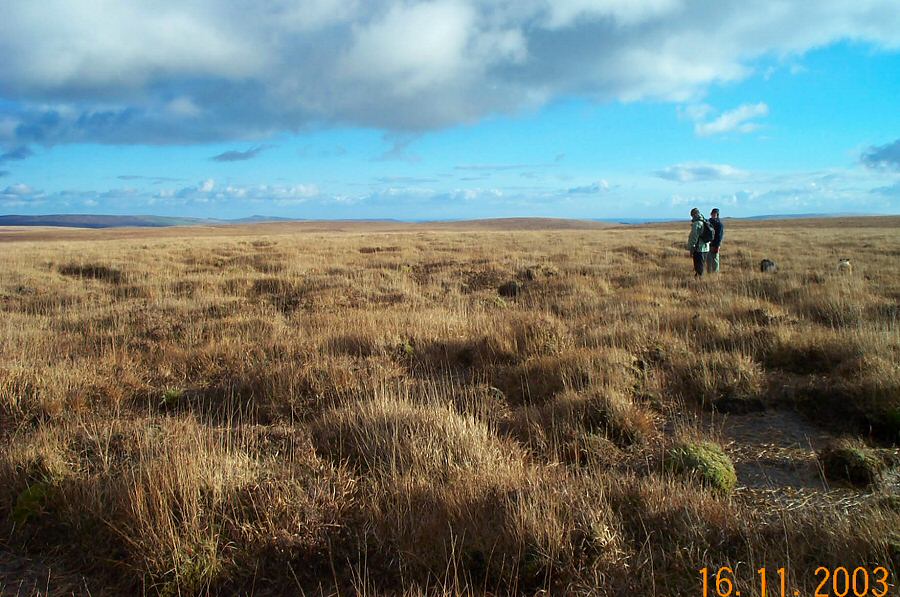
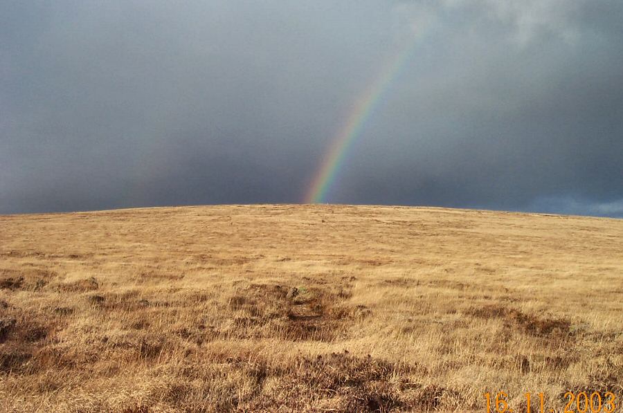
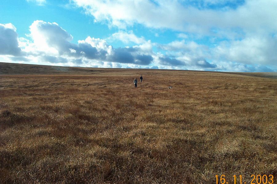
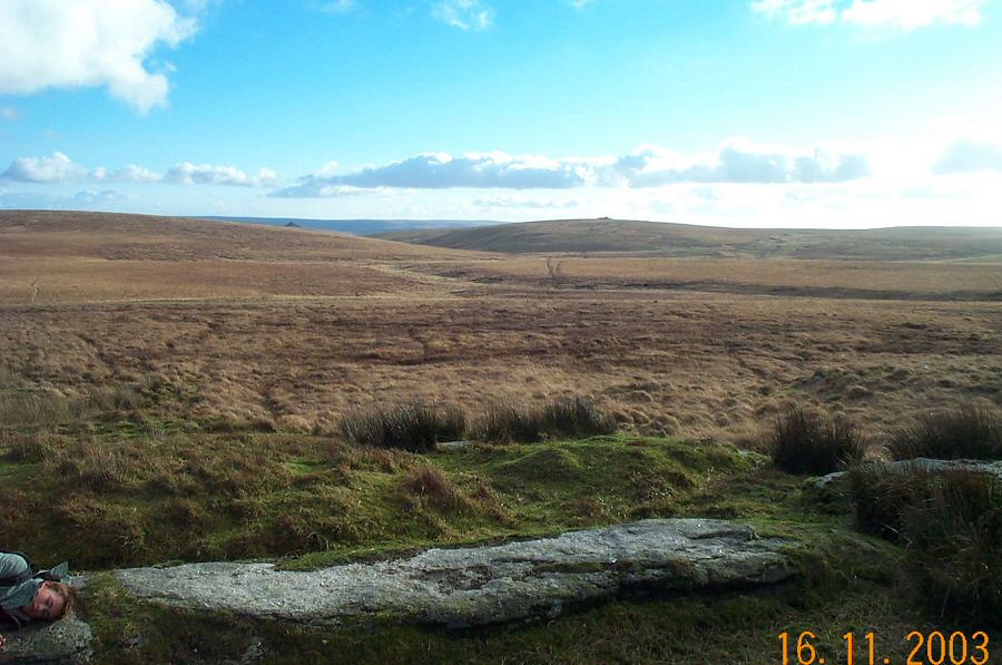
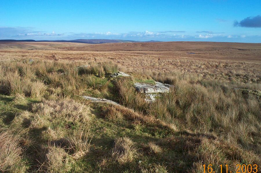
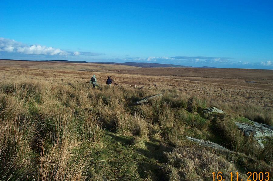
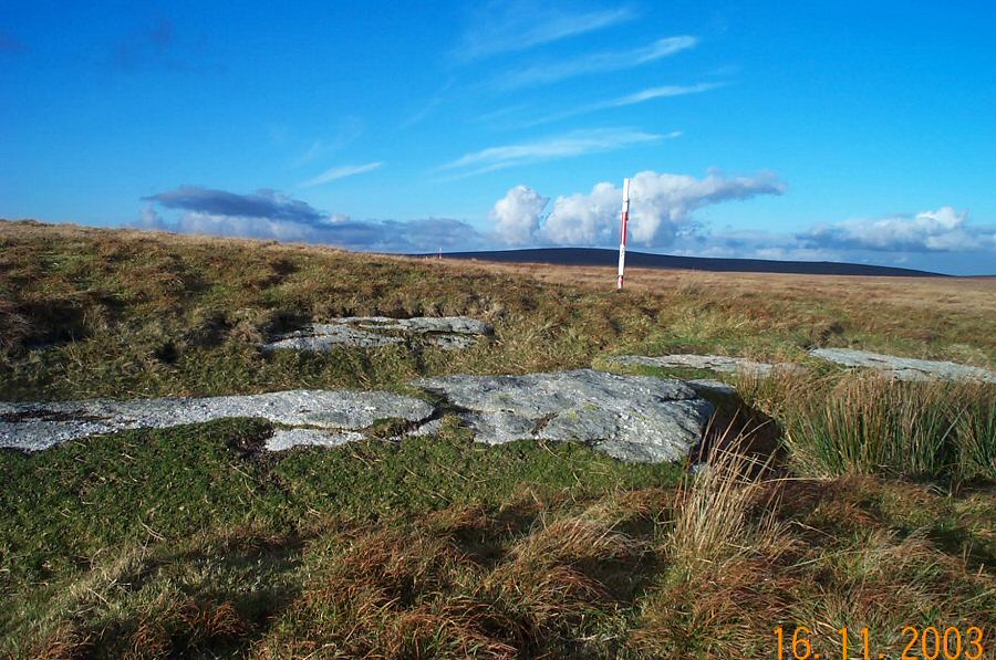
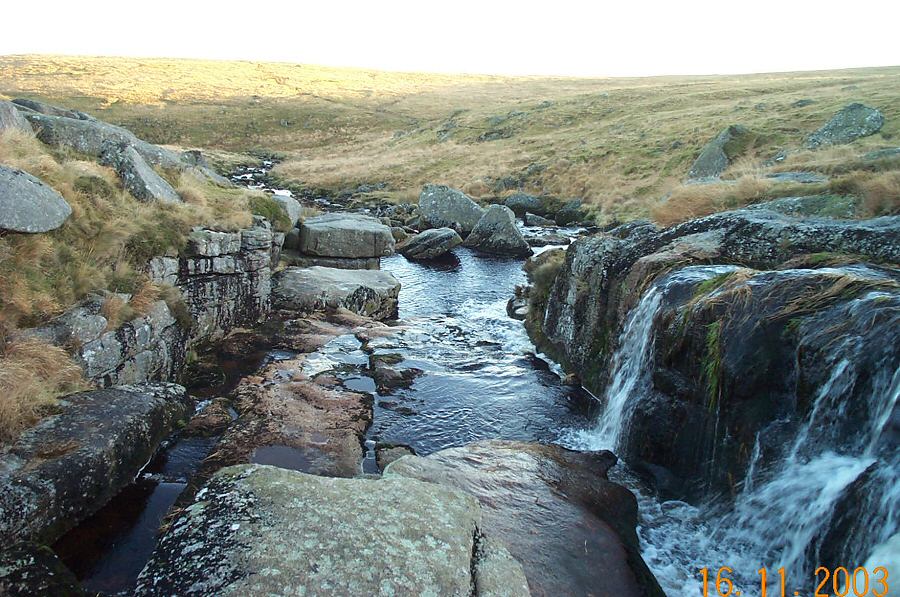
Flat TorFlat Tor (SX 609816) is a set of diminutive granite slabs that barely poke out above the wet moorland soil. It is not the most commanding of Dartmoor tors but it does offer location. Flat Tor is in the middle of one of the more isolated parts of High Dartmoor. Flat Tor is on the watershed between West Dart head and the East Dart. The ground is wet, flat and exposed. In good weather the views over Wildbanks Hill and Rough Tor are good. Flat Tor is near Cut Hill and Fur Tor so both these landmarks have been included in the walk.Start from Drift Lane SX 646788 at Postbridge and walk over Broadun to Sandy Hole Pass. Follow the East Dart upstream and just beyond the waterfall at Kit Rocks cross over the first stream, walk along the marshy ground beside the East Dart and then head up the Cut Hill streambed. Head up the east slope of Cut Hill - if you make for the line of the army warning poles then this gives you the easiest way up to the summit of Cut Hill. Then make for Fur Tor taking the track then traverses Cut Combe valley. To return from Fur Tor it is best to follow a compass course to Flat Tor since it is a pretty featureless (but direct) walk over the wet ground around South Tavy and West Dart heads. From Flat tor you can head due east down the Broady marsh stream bed to rejoin the East Dart just above Sandy Hole pass. From here it is a good hours walk back to Postbridge along the way we started.This can be a serious walk of nearly 10 miles. Allow at least 5 hours. The usual warnings about walking over Dartmoor must apply here. There is wet ground nearly all the way from Fur Tor to Flat Tor and the ground is pretty exposed and featureless. In poor weather this could get very challenging. A lot of the walk is within the Army ranges so watch out for warning flags.
|
||||||||||||||||||||||||||||||||||||||||||||||||||||||||||||
All | Little | Shorter | Standard | Longer | Tors | Relics | History | Links | Panoramas | Home | ||||||||||||||||||||||||||||||||||||||||||||||||||||||||||||