All | Little | Shorter | Standard | Longer | Tors | Relics | History | Links | Panoramas | Home
|
||||||||||||||||||||||||||||||||||||||||||||||||
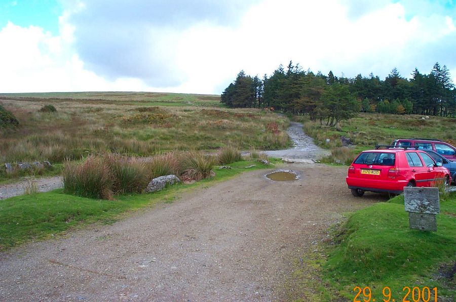
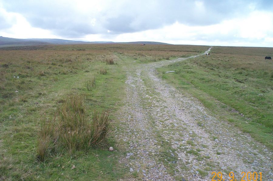
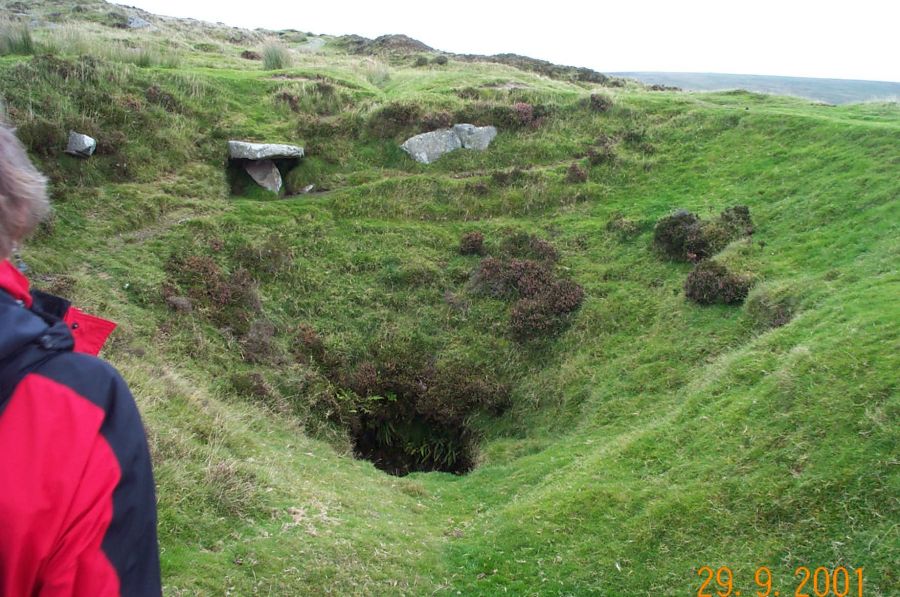
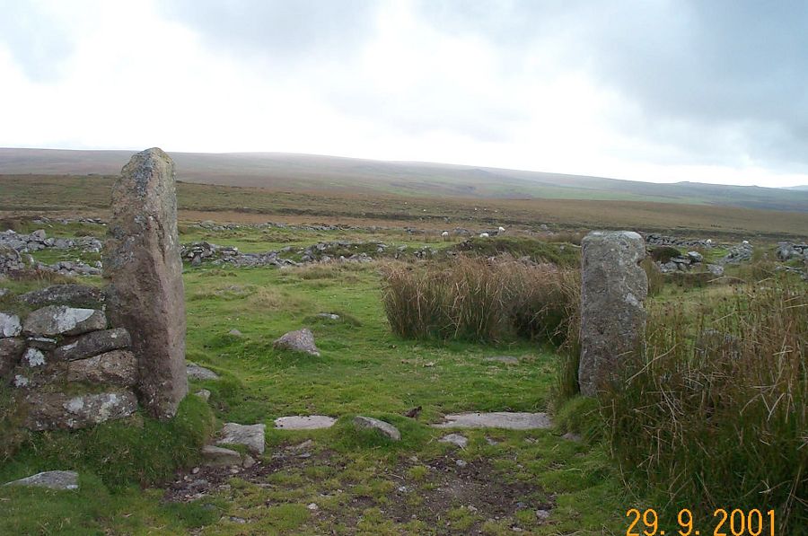
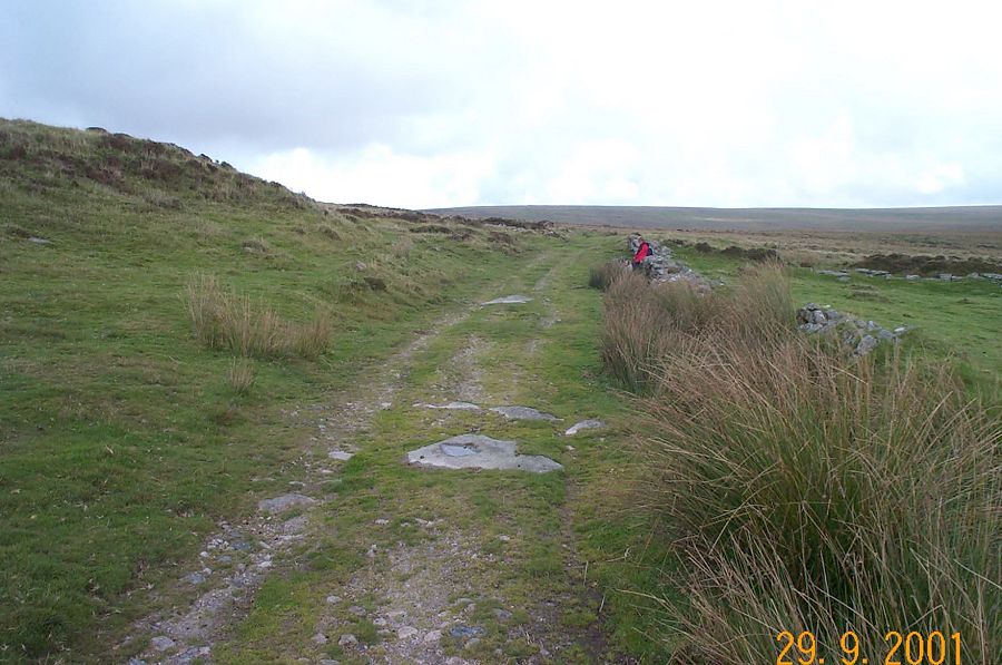
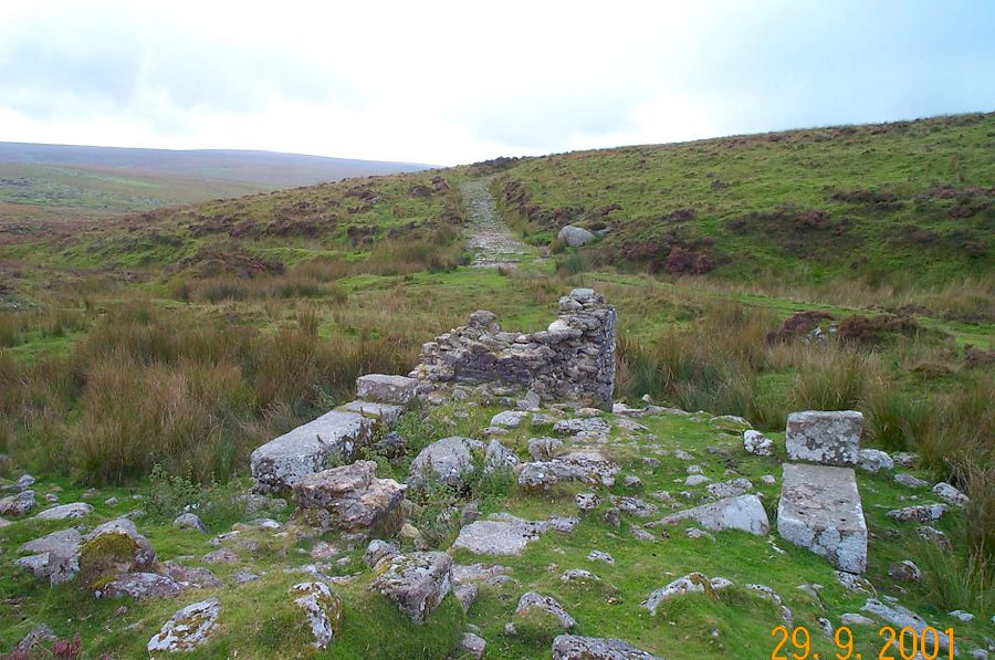
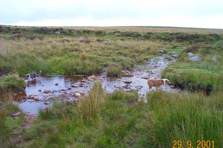
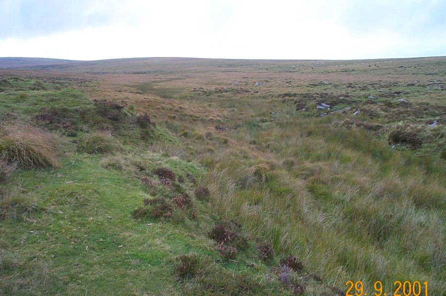
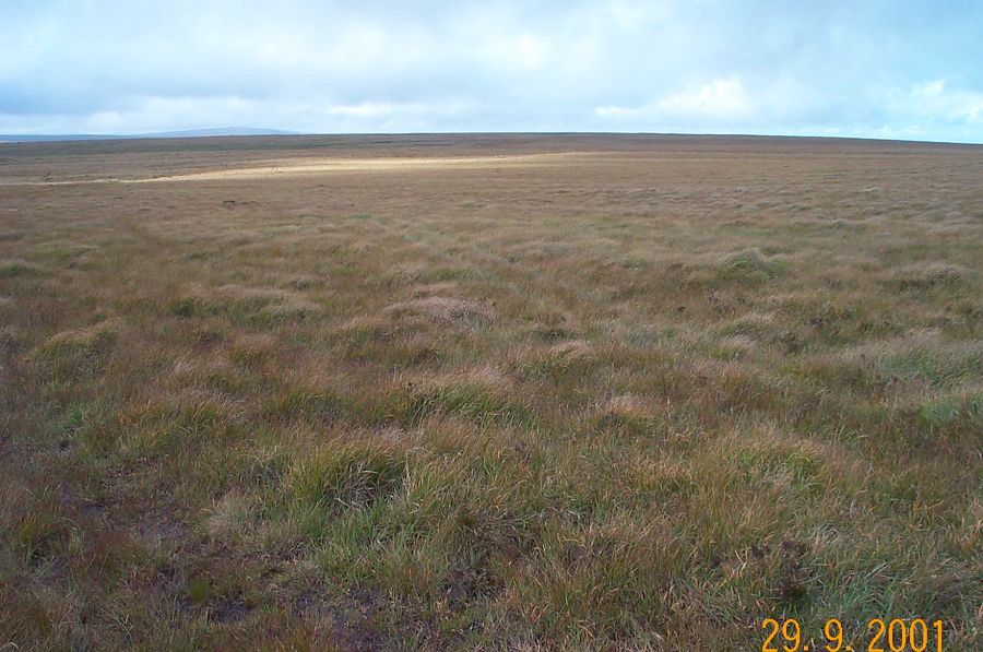
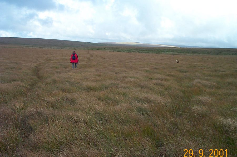
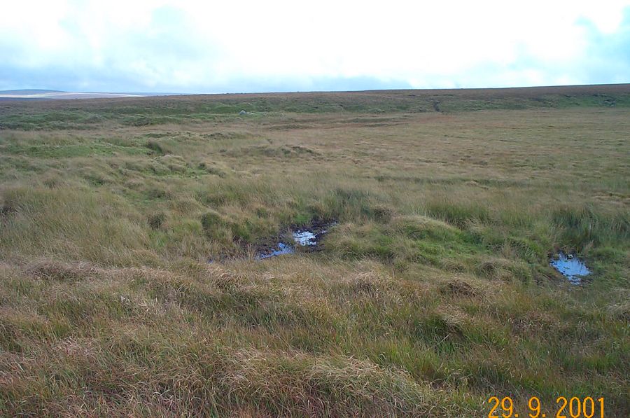
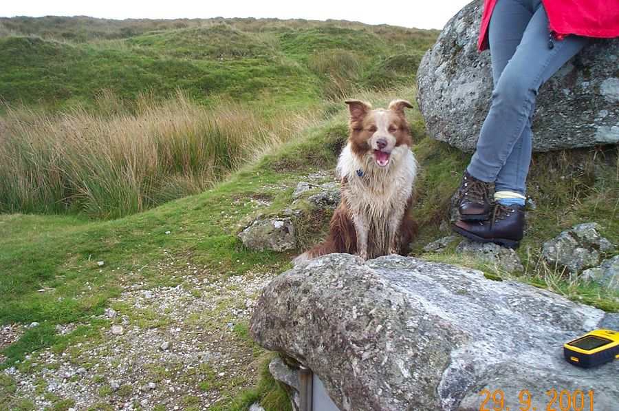
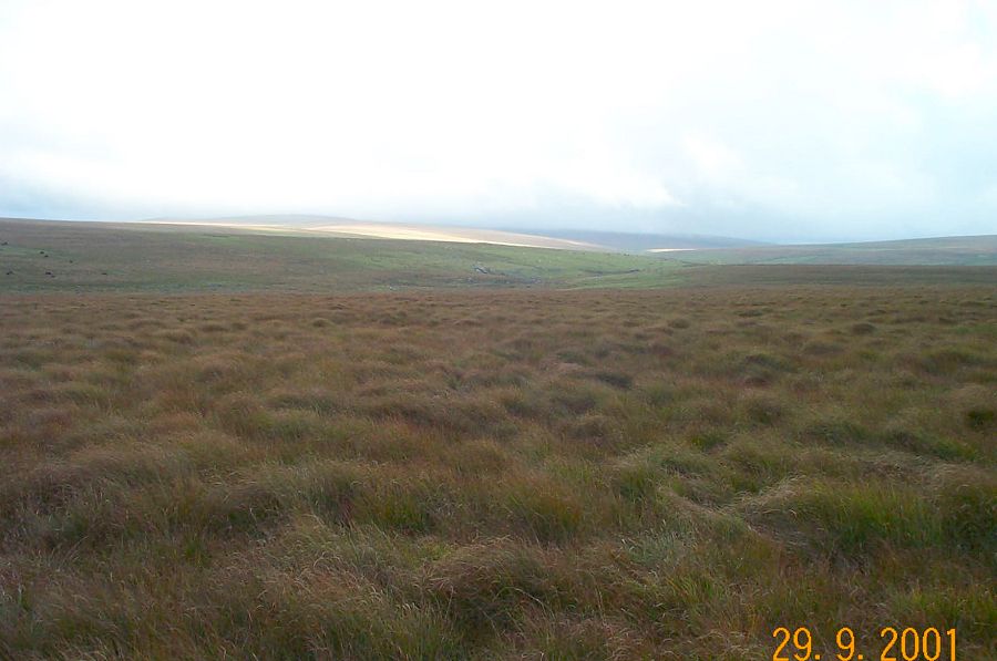
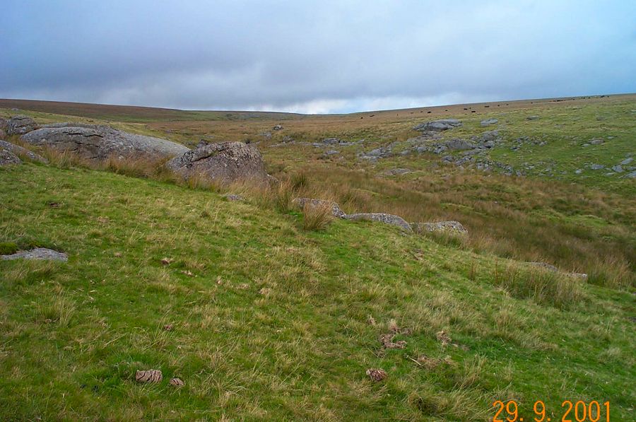
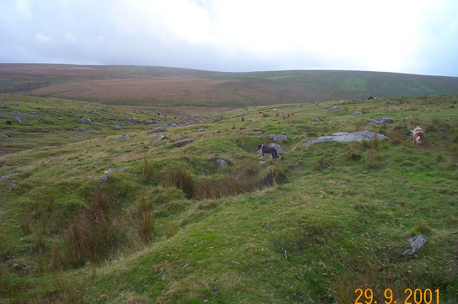
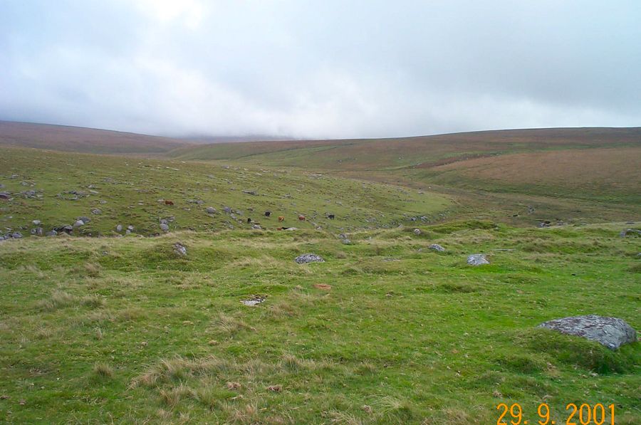
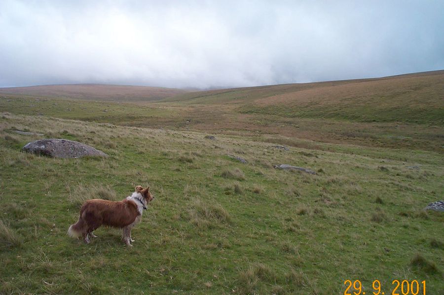
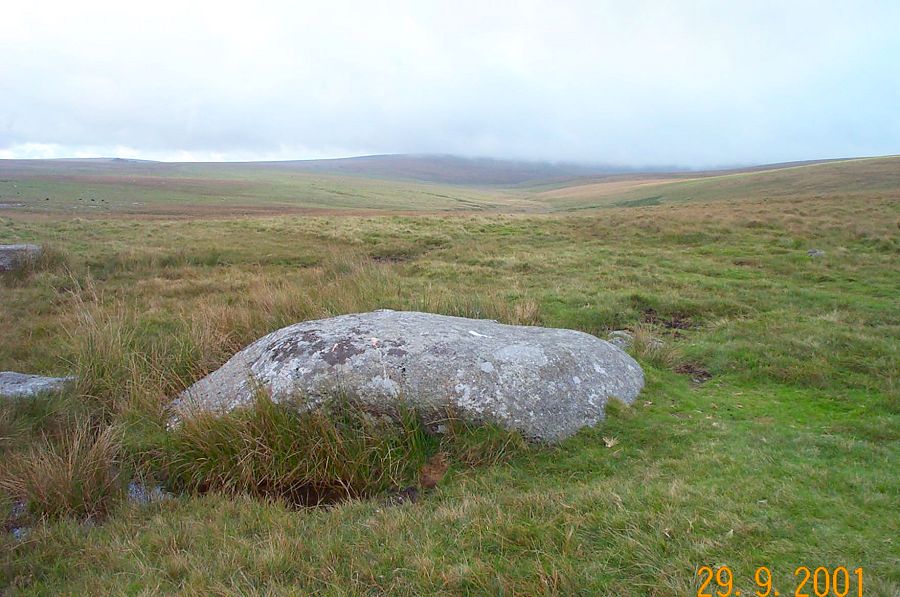
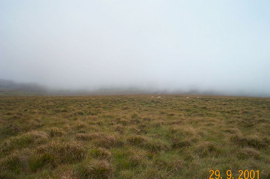
Ducks' PoolDucks' Pool is famous for its letterbox. It was constructed in 1938 as a memorial to the Dartmoor author - William Crossing. Ducks' Pool is well in the centre of the Southern Moor and requires a little walking to get to it. This walk is probably one of the more accessible. As well as the letterbox, there are many remains of mining in this area. The impressive spoil tips in the Erme valley mark an area that has seen much tin mining in the past. The upper Erme valley is a particularly beautiful and isolated part of Dartmoor.The walk starts from the car park (SX 579673) past the hamlet of Sheepstor. Take the cycle path to Eylesbarrow Tin Mine and then turn off to the right to Plym Ford. Follow the Plym stream up to its head on the southern side. On the plateau the ground gets very wet, although it isn't boggy. Then take a compass bearing to take you down to Ducks' Pool. It is a short walk from here to Blacklane Brook. Follow the Erme stream up to its source, and head for Broad rock. The Abbot's way skirts around Great Gnats' Head and takes you back to Plym Ford.This walk is about 8 miles. Allow about 4 hours. Although you start off on good footpaths, once you are past Plym Ford then you enter into the wilderness of the Southern Moor. The ground can be quite wet - especially around Plym Head. Be careful of mist, in this area it can come down quickly. A map and compass must be taken. No military ranges in this area.
|
||||||||||||||||||||||||||||||||||||||||||||||||
All | Little | Shorter | Standard | Longer | Tors | Relics | History | Links | Panoramas | Home | ||||||||||||||||||||||||||||||||||||||||||||||||