All | Little | Shorter | Standard | Longer | Tors | Relics | History | Links | Panoramas | Home
|
||||||||||||||||||||||||||||||||||||||||||||
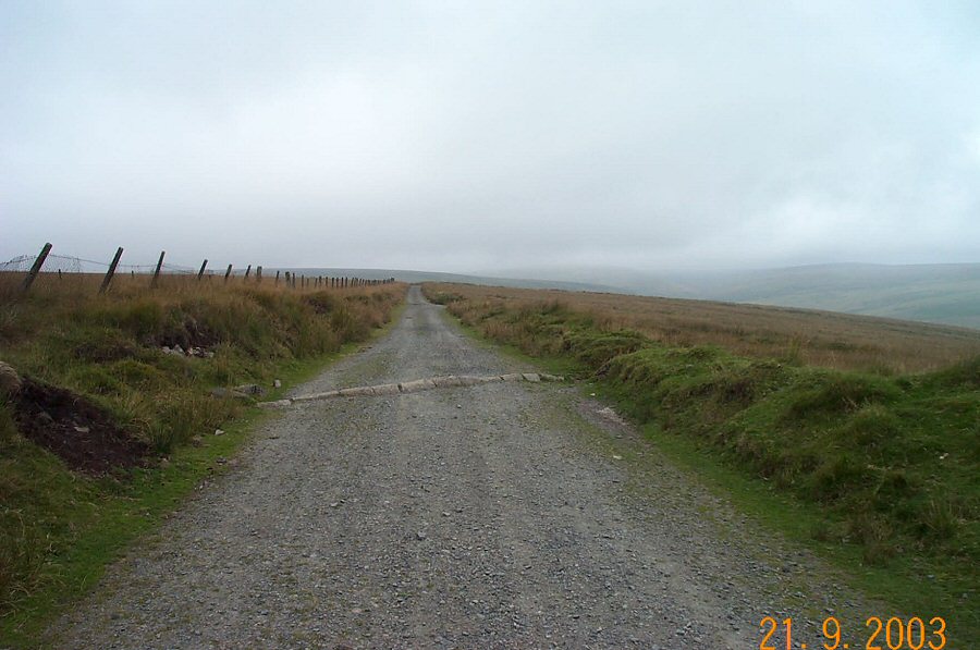
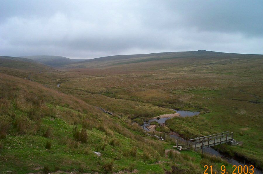
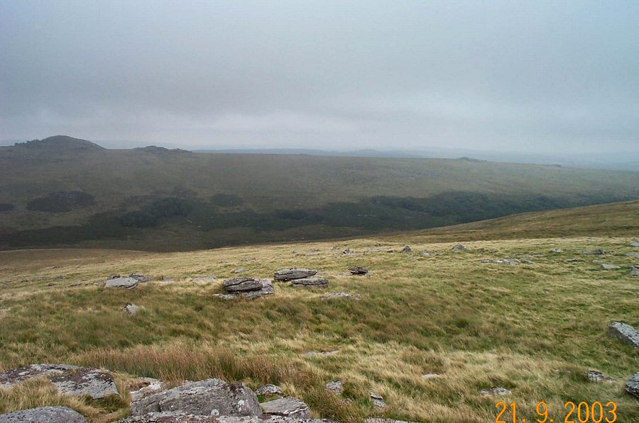
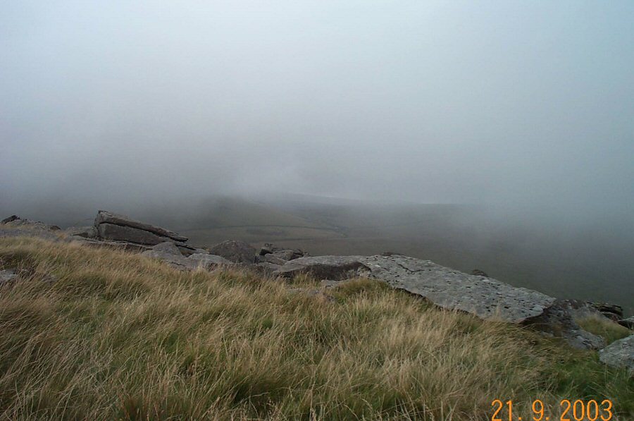
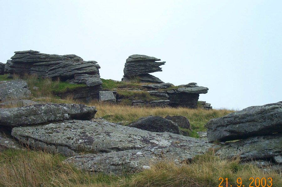
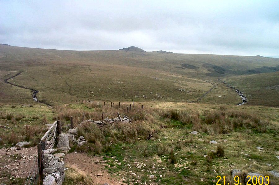
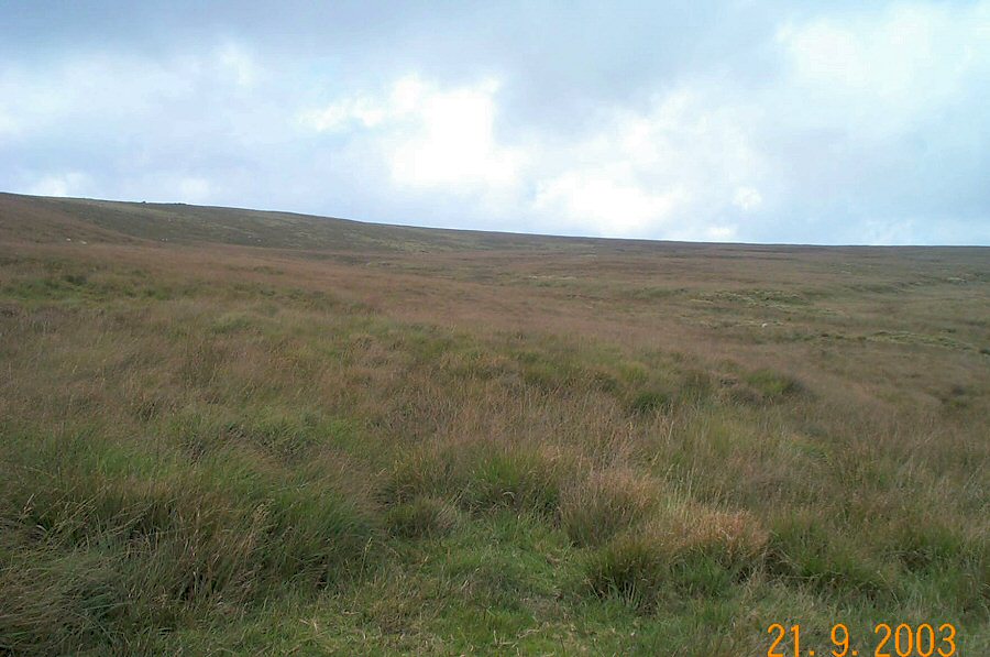
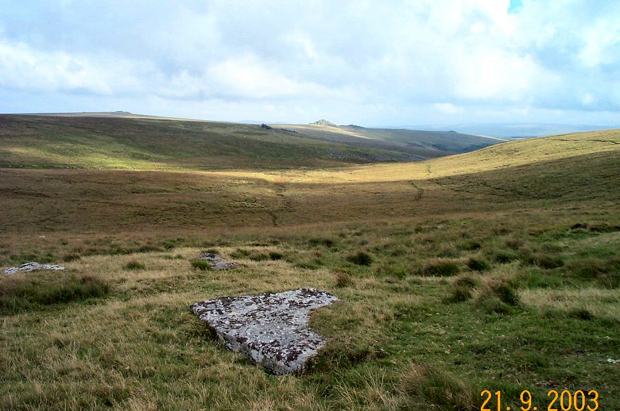
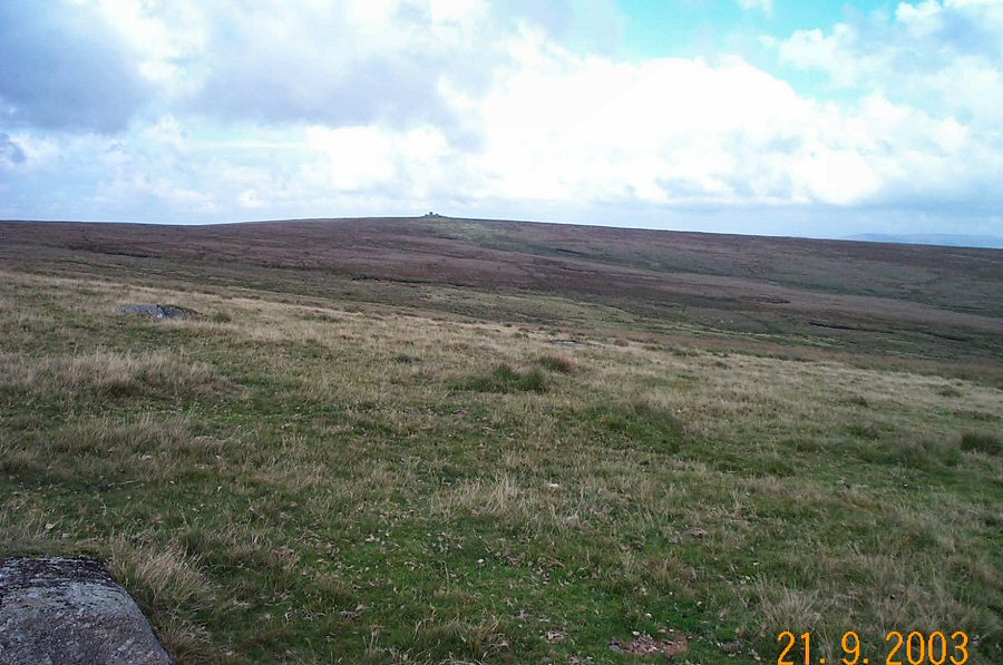
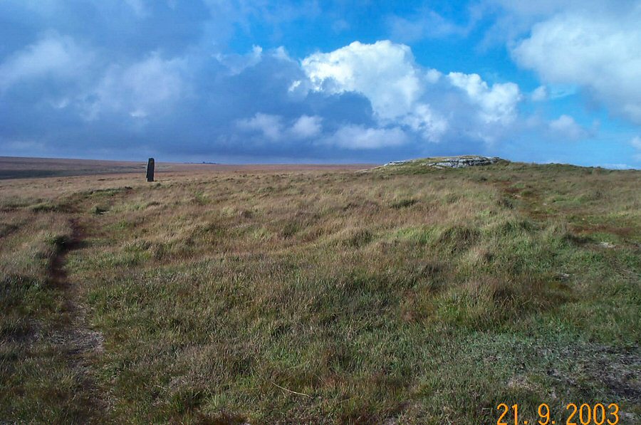
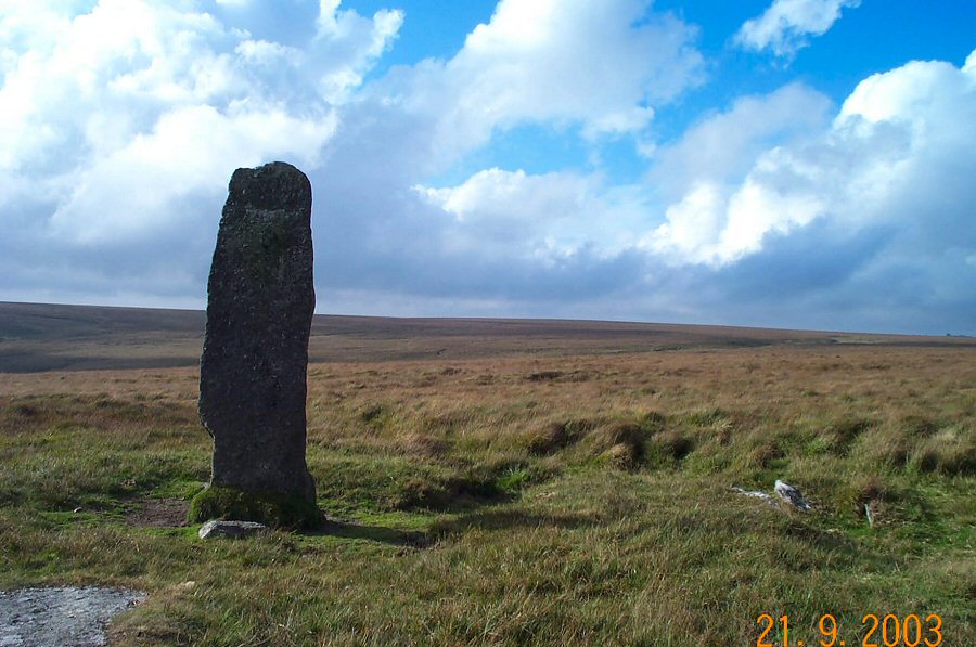
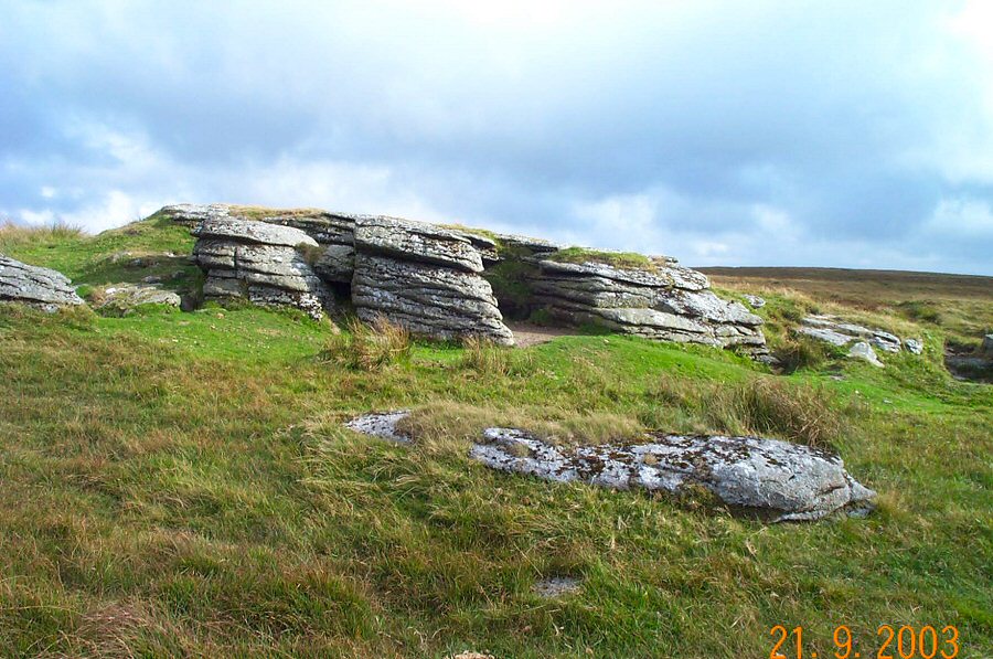
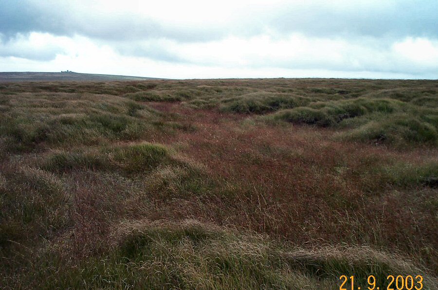
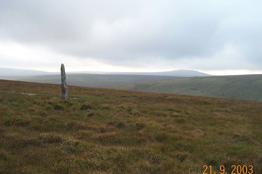
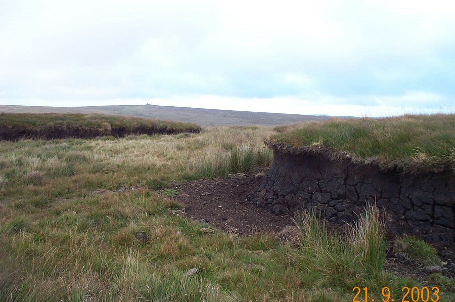
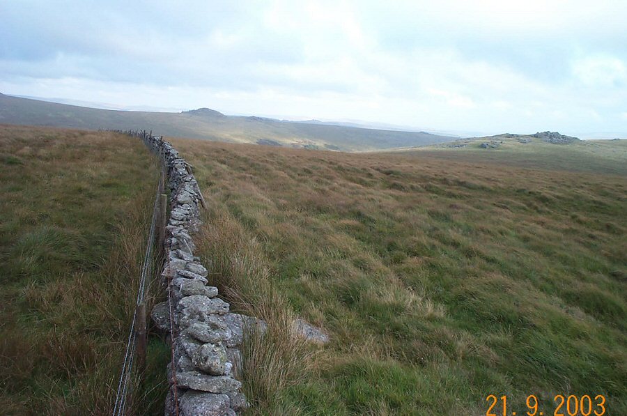
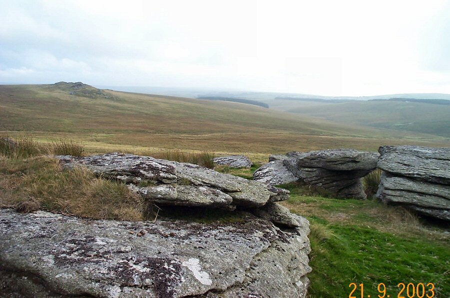
Devil's TorDevil's Tor sounds dramatic but it isn't. The tor is simply a bland set of rocks in the upper Cowsic valley with an impressive standing stone - the Beardown Man - nearby. Why Devil's? Nobody has really come up with a good explanation for why these rocks should be the provenance of Satan although one moorman suggested to Crossing that the insignificant rocks are "plenty good enough vur 'e'". Maybe it has something to do with the prehistoric Beardown Man? We don't know. Devil's Tor is not difficult to get to and it provides an excellent start to any walking over the fen or blanket bog of the high country around here.Park by Holming Beam (SX 591765), walk up the track, and turn right down a short steep track towards the Cowsic. Cross over the wooden bridge and head up towards Beardown Tors. Then head north to the newtake wall and walk north east up the delightful Methern valley towards the ridge that houses Devil's Tor. Here you'll find the Beardown Man. If you wish you can now walk over rough ground to Cowsic Head or Horse Hole. Return via Lydford Tor. There is a track for much of the way back.This walk isn't difficult since it takes you to the edge of "High Dartmoor" but no further. However, you could extend this walk in many ways. As the photos show the weather can change abruptly so map and compass are obviously essential. Allow 3-4 hours. The area is in a military range.
|
||||||||||||||||||||||||||||||||||||||||||||
All | Little | Shorter | Standard | Longer | Tors | Relics | History | Links | Panoramas | Home | ||||||||||||||||||||||||||||||||||||||||||||