
All | Little | Shorter | Standard | Longer | Tors | Relics | History | Links | Panoramas | Home
|
|
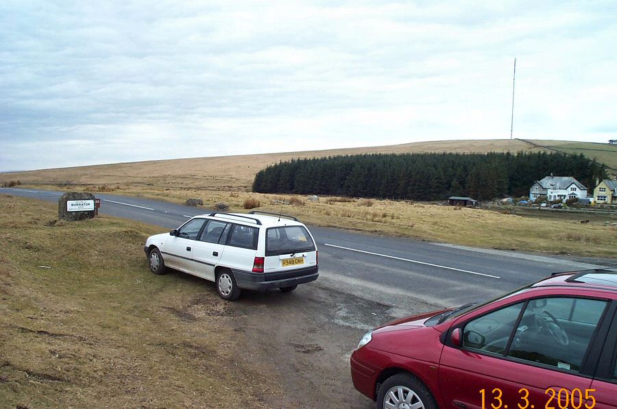
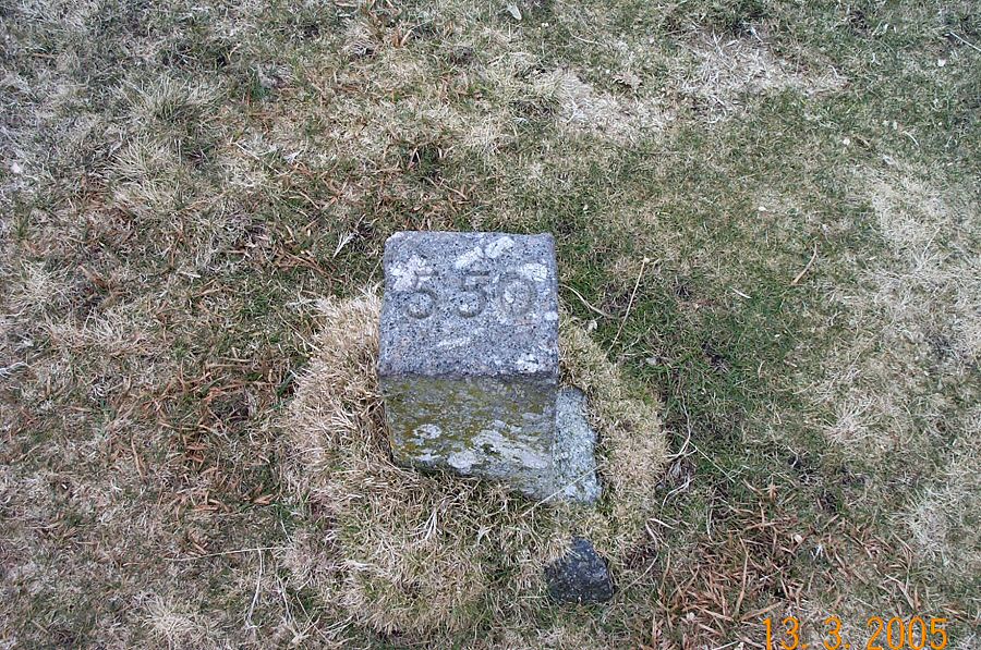
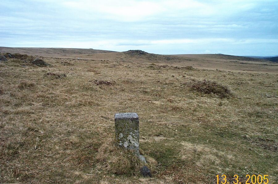
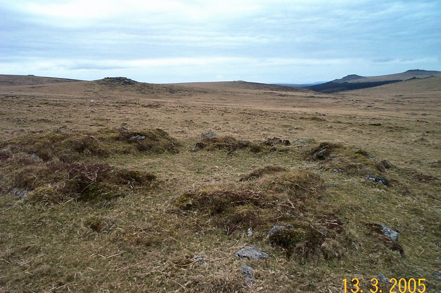
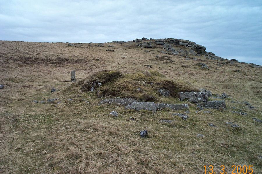
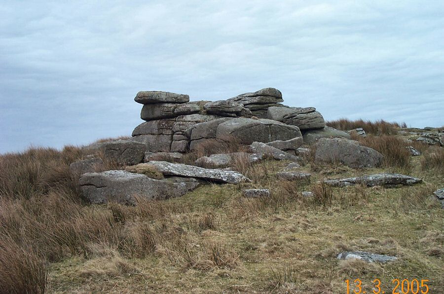
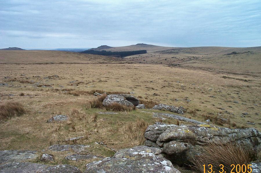
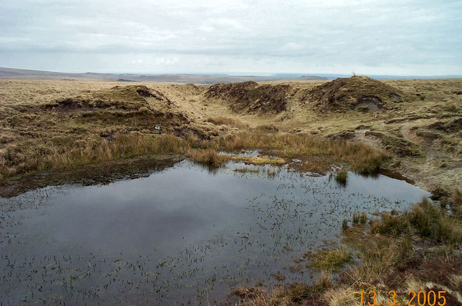
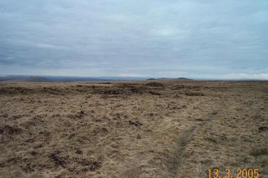
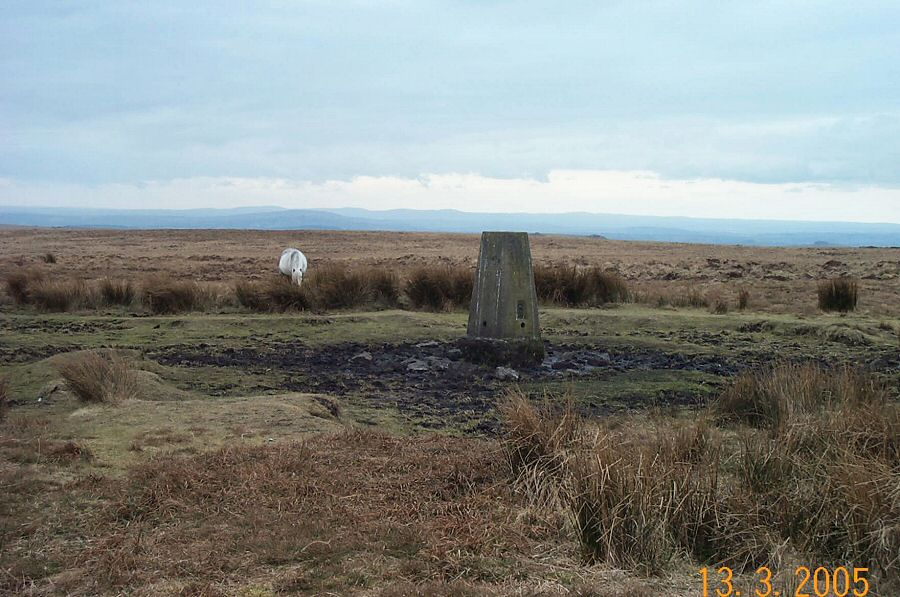
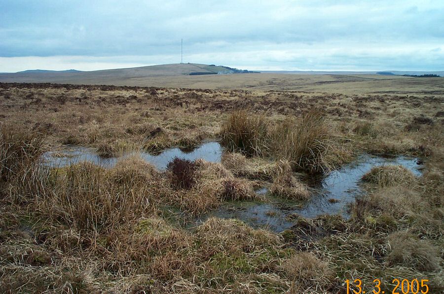
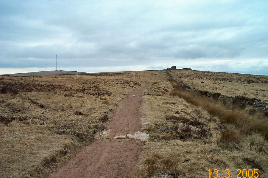
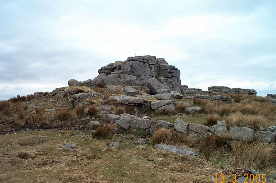
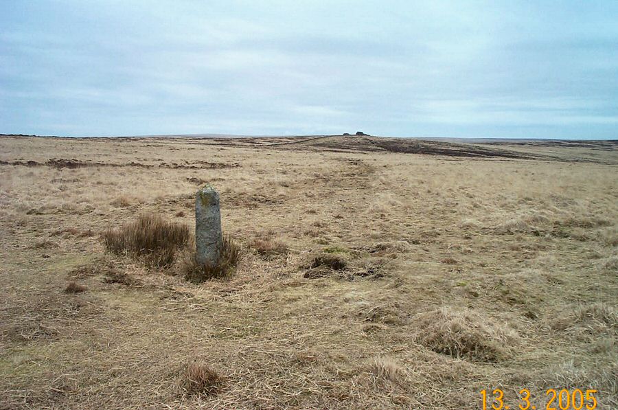
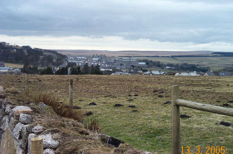
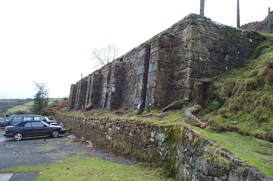
CramberCramber lies about 1.5 miles due south of Princetown. It is widely used by the military for training although the public still has access. Cramber Hill is a bit bland but still worth visiting - not least because it is easy to get to and the views are pretty good. One oddity that we pass on the way are the remains of a Victorian rifle range that are interspersed with an extensive set of hut circles. This military relic lies due north of Hart Tor.Park at Princetown - either in the car park or offroad at SX 586733. Head south west towards the upper Meavy valley south of Devil's bridge. Walk through the rifle range, admire the views from Hart Tor and then cross the Hart Tor brook on your way to Cramber Tor. Head due east to get to Cramber pool and then head over the flat top of Cramber Hill to get to South Hessary Tor. It's easy to get back to Princetown from there.This is a straightforward walk with little to worry about - but you should take proper equipment with you. In some ways this is a good introduction to the kind of conditions to be found on Dartmoor. A very good place to practice your compass and navigation skills. About 3.5 miles.
|
|
All | Little | Shorter | Standard | Longer | Tors | Relics | History | Links | Panoramas | Home | |


