All | Little | Shorter | Standard | Longer | Tors | Relics | History | Links | Panoramas | Home
|
||||||||||||||||||||||||||||||||||||||||||||||||||||||||||||||||||||||||||
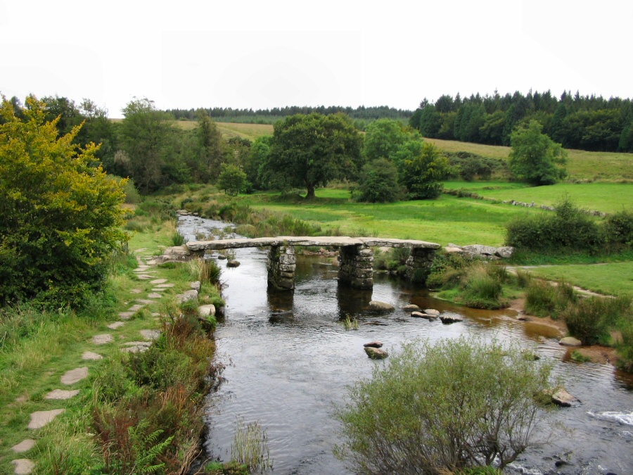
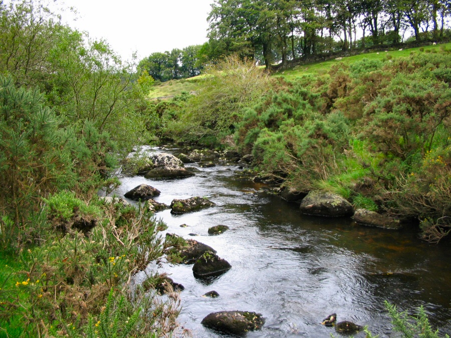
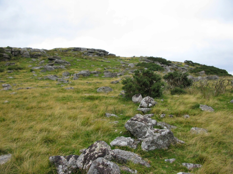
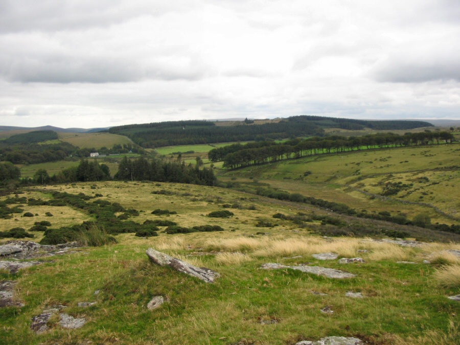
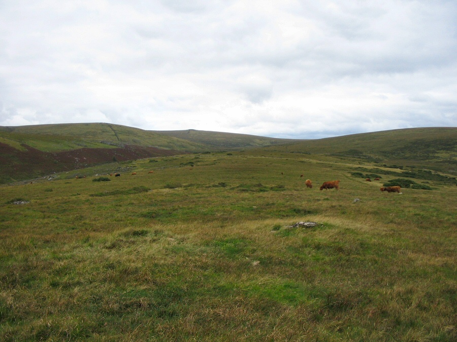
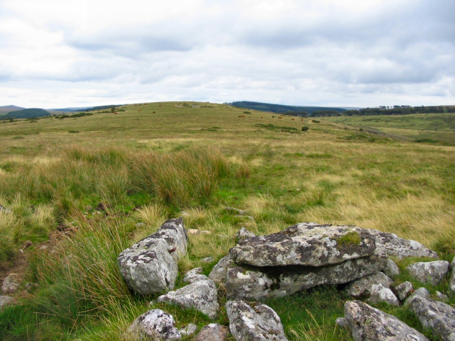
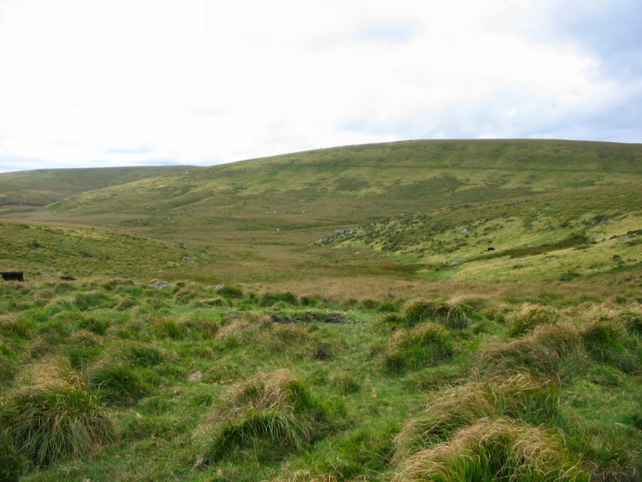
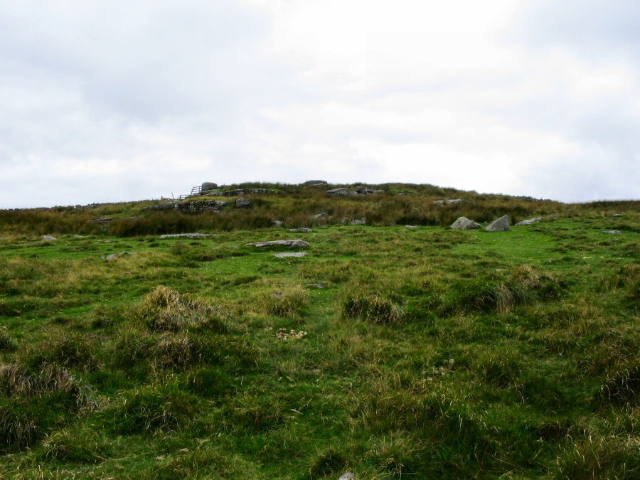
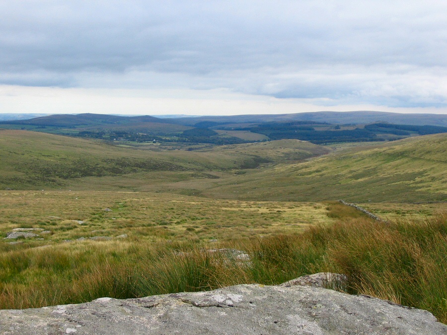
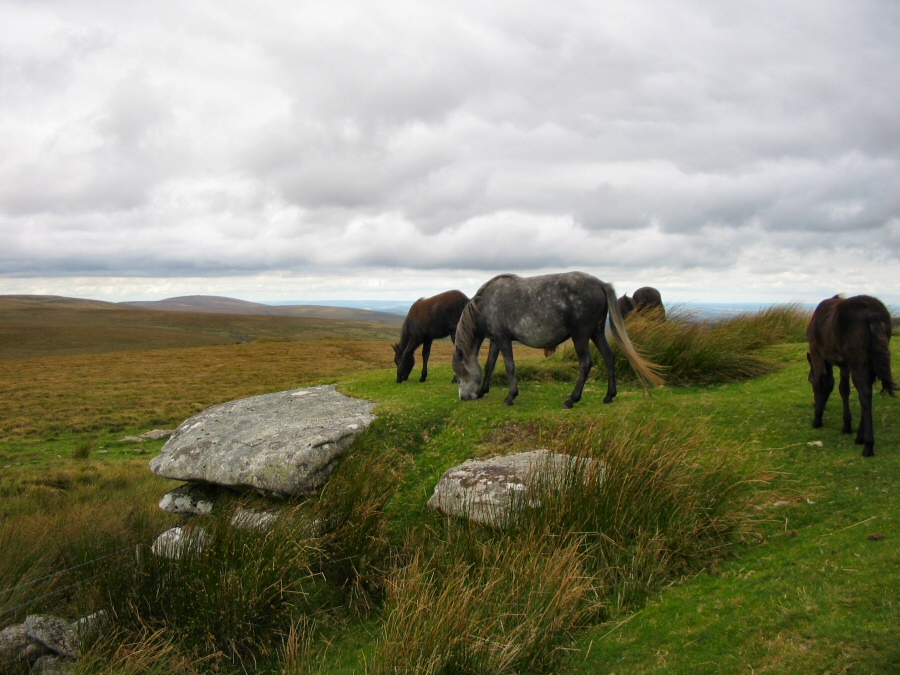
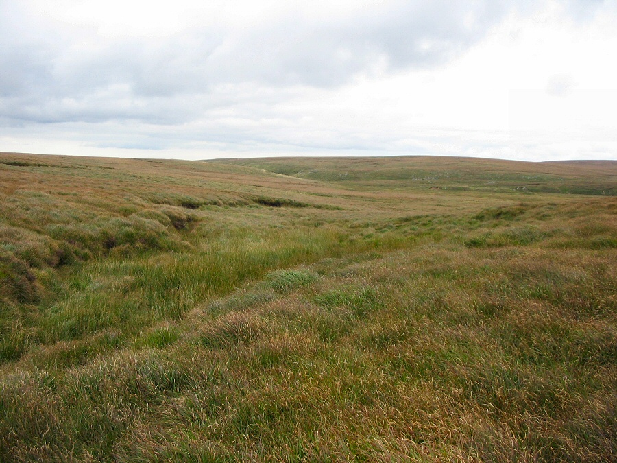
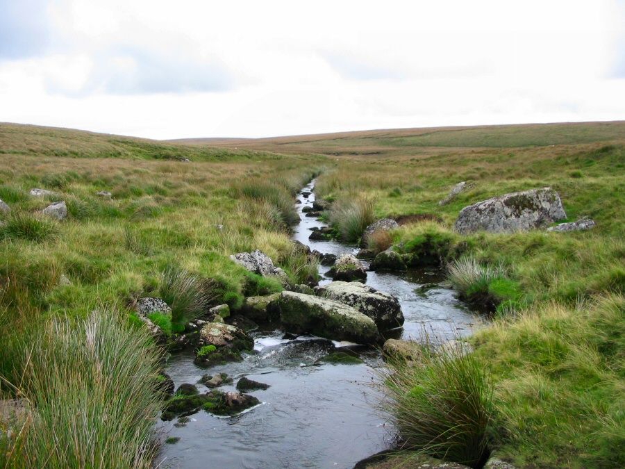
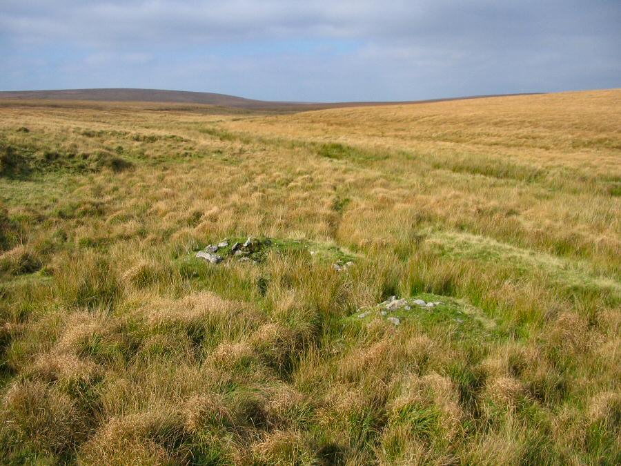
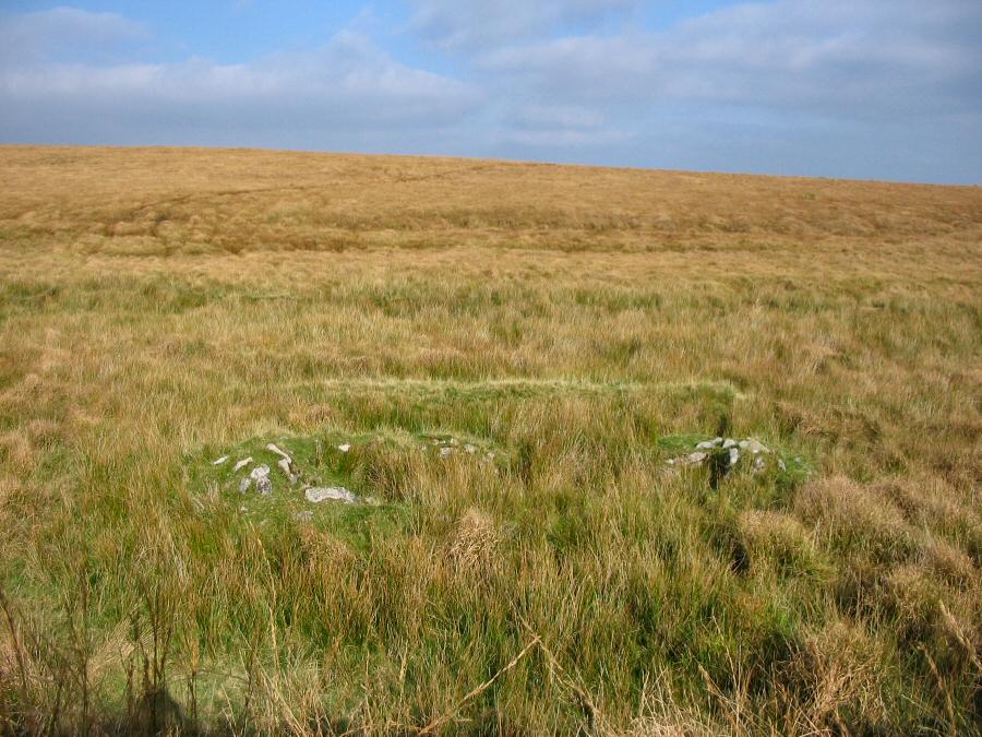
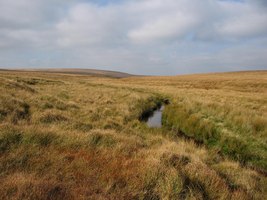
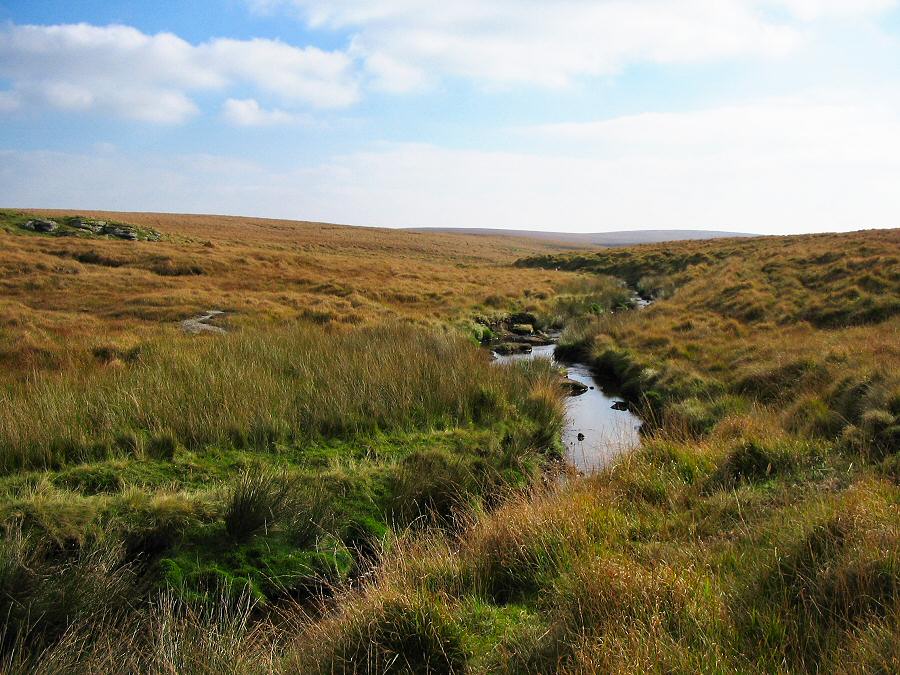
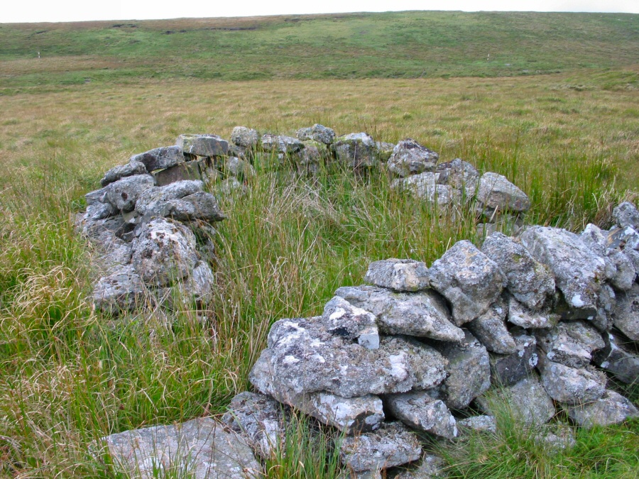
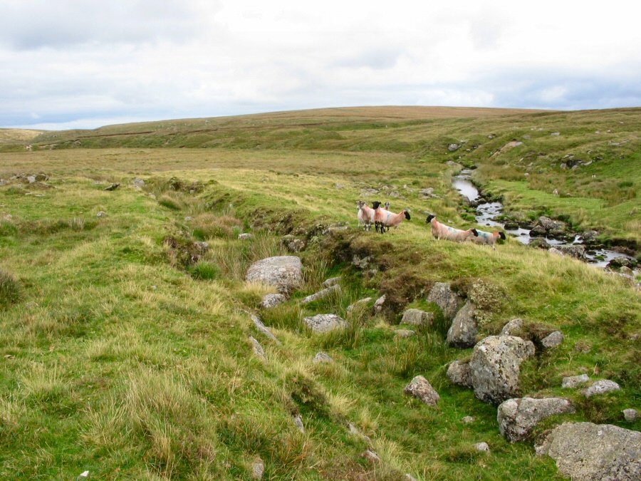
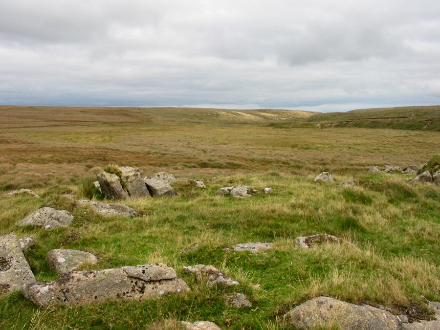
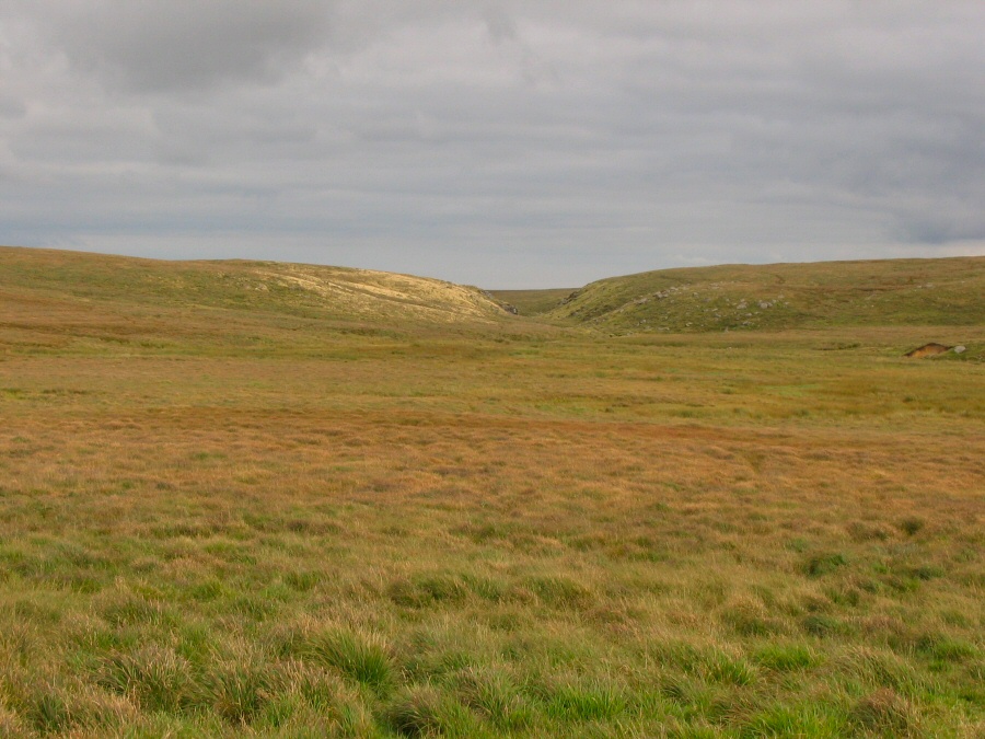
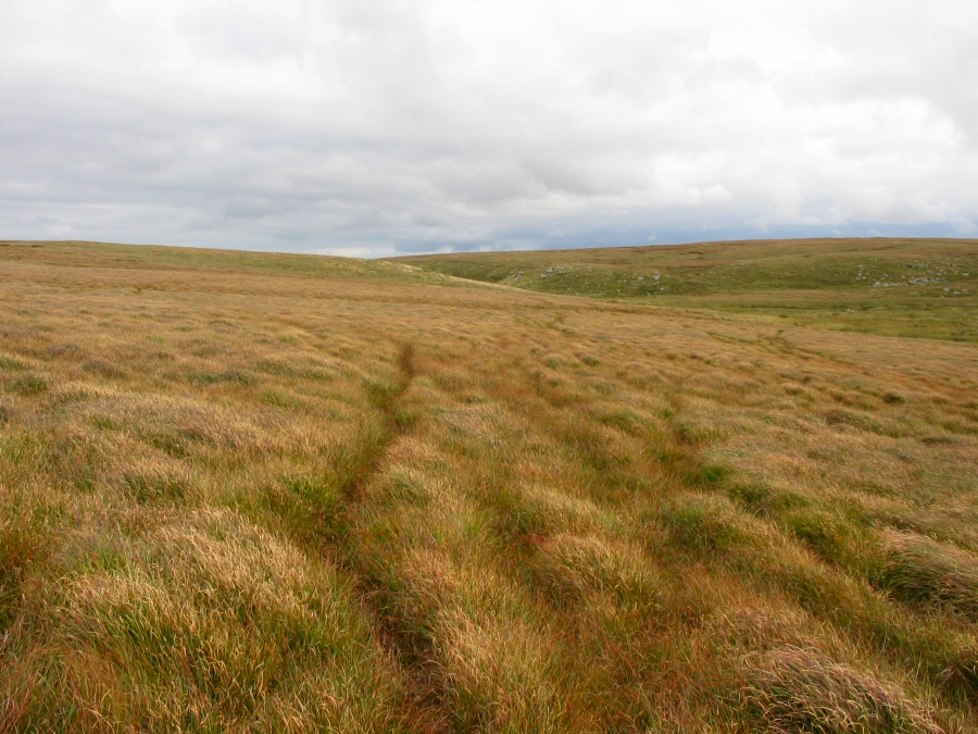
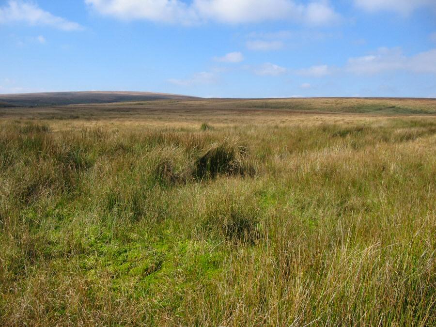
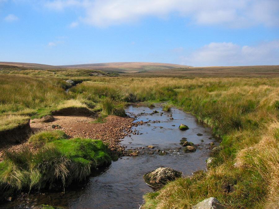
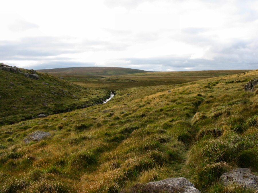
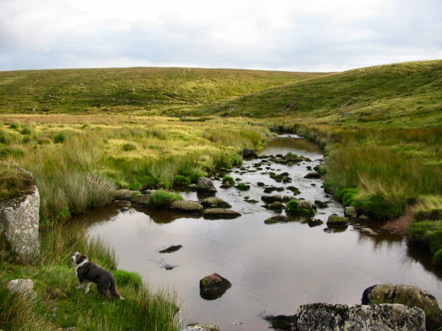
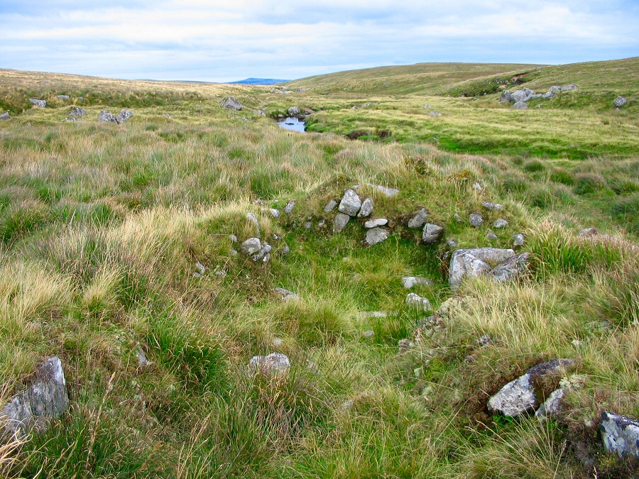
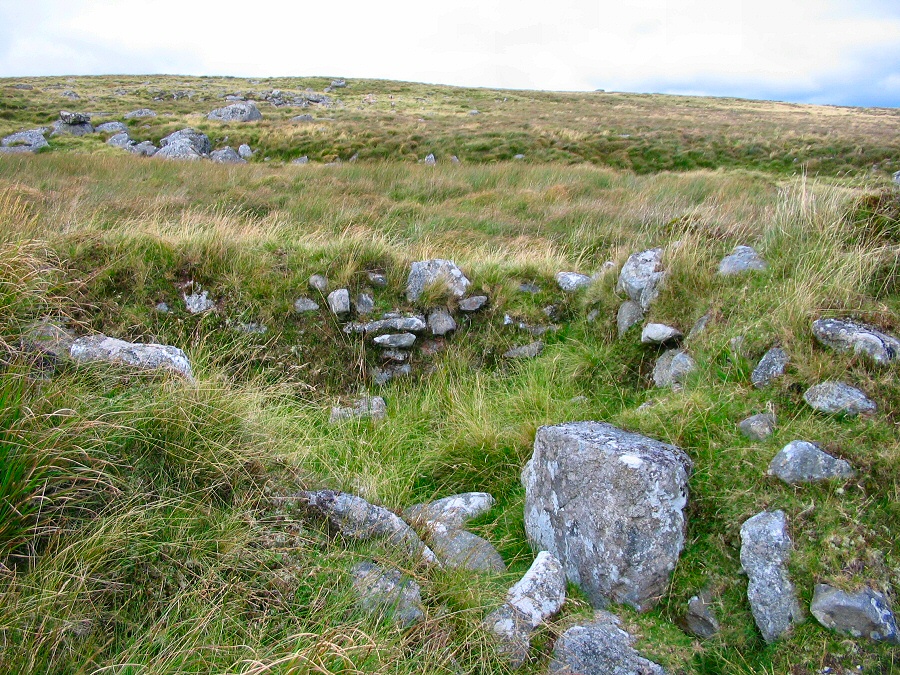
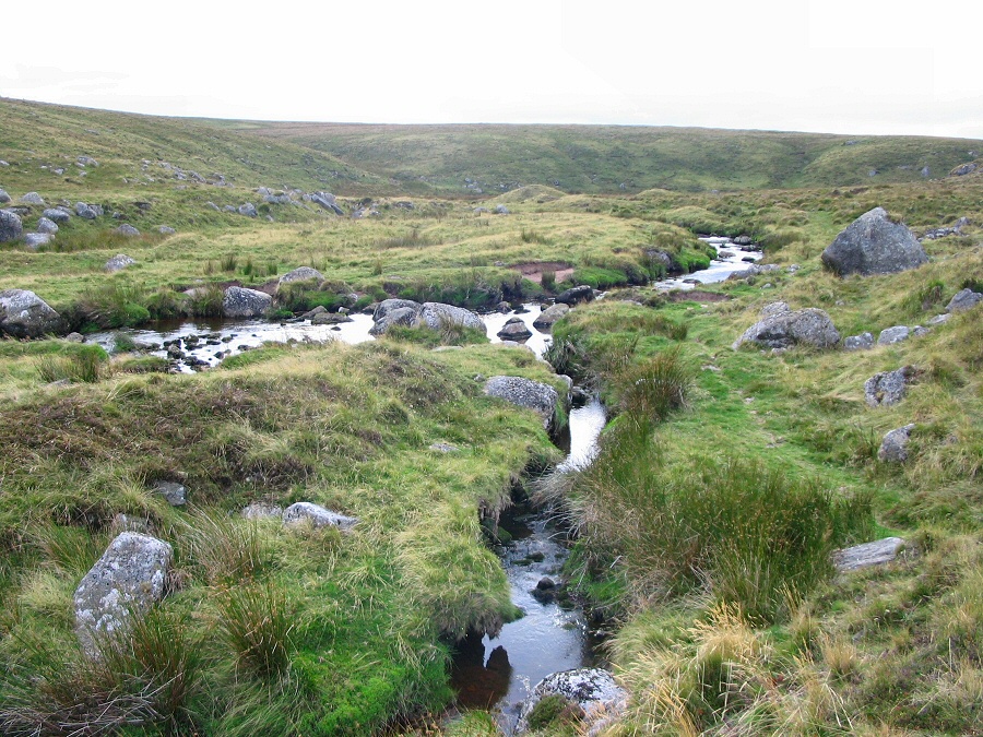
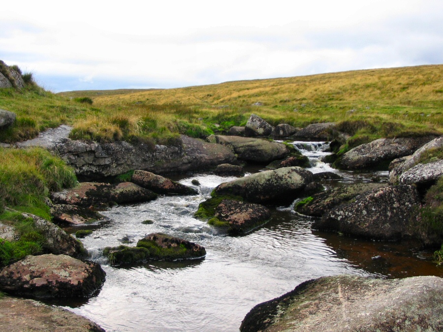
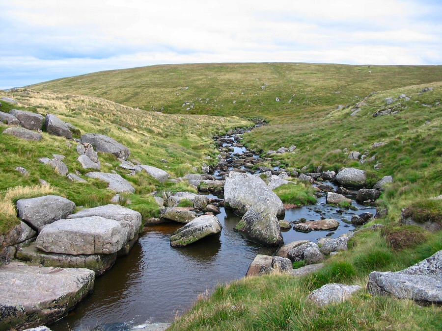
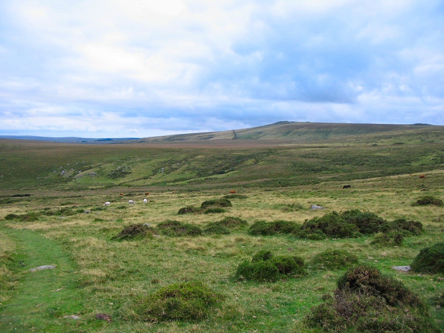
Broad MarshBroad Marsh lies beside the upper East Dart in a remote part of Dartmoor. All around the marsh there are remains of medieval tin working and the marsh may be caused by the silting up of parts of the East Dart by this tinning activity. Certainly, Sandy Hole Pass is the results of tinners work. Although parts of Broad marsh are very wet and boggy it is an area that is easily walked around and it provides an ideal start to exploring the upper reaches of the East Dart.Start at the Postbridge car park SX 646788, but walk up the B3212, cross over the bridge (the new one!) and take the first left. This takes you into a muddy field from where you can head on up the East Dart valley by skirting around Hartyland. Walk up to Hartland Tor and then head north for about 1.5 miles along the ridge until you get to the Lade Stream. Then head north west up the slopes of Sittaford Tor. After admiring the views from this vantage point then head south westish for Statts House (there's a path but a compass bearing might be needed). From Statts House you will need a compass bearing to take you to Kit Rocks beside the East Dart. Depending on time you can head off up the valley but you'll need to return to Kit Rocks to head off downstream to get to Broad Marsh. You can walk around the marsh through the grasslands on the northern side which takes you to Sandy Hole Pass and then easily down to the East Dart waterfall, Broad Down and back to Postbridge.This is a 9 to 10 mile walk. It just skirts the edge of the army range so you can do it at any time. However, part of the walk is in a pretty isolated part of Dartmoor that is some miles from the road. The ground is fairly straightforward apart from some roughness near Statts House. A map and compass is essential for this walk.
|
||||||||||||||||||||||||||||||||||||||||||||||||||||||||||||||||||||||||||
All | Little | Shorter | Standard | Longer | Tors | Relics | History | Links | Panoramas | Home | ||||||||||||||||||||||||||||||||||||||||||||||||||||||||||||||||||||||||||