All | Little | Shorter | Standard | Longer | Tors | Relics | History | Links | Panoramas | Home
|
||||||||||||||||||||||||||||||||||||||||||||||||||
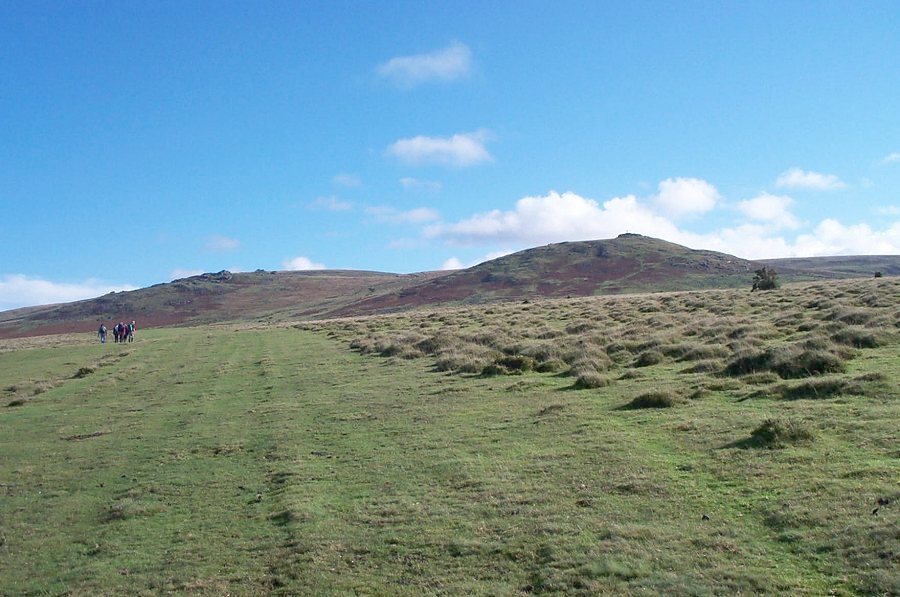
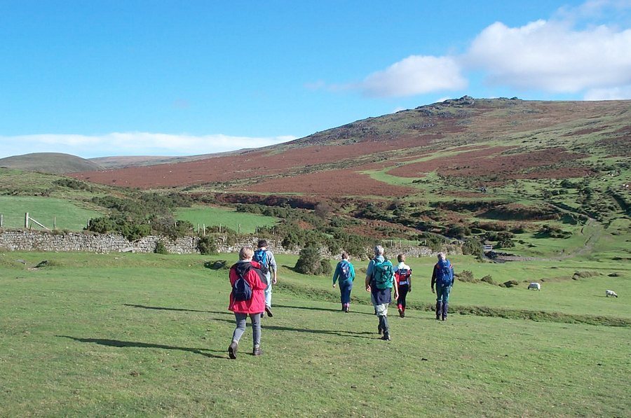
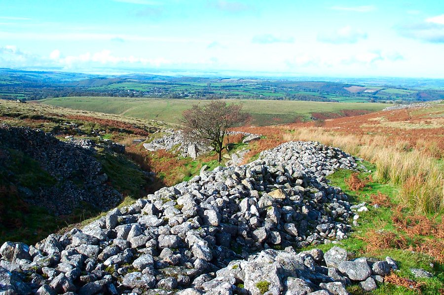
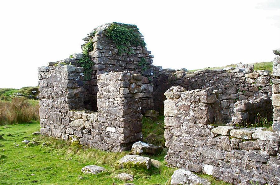
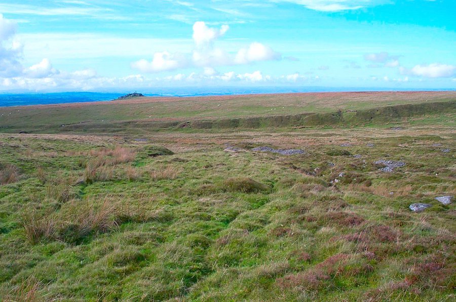
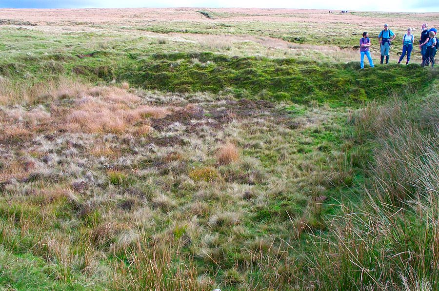
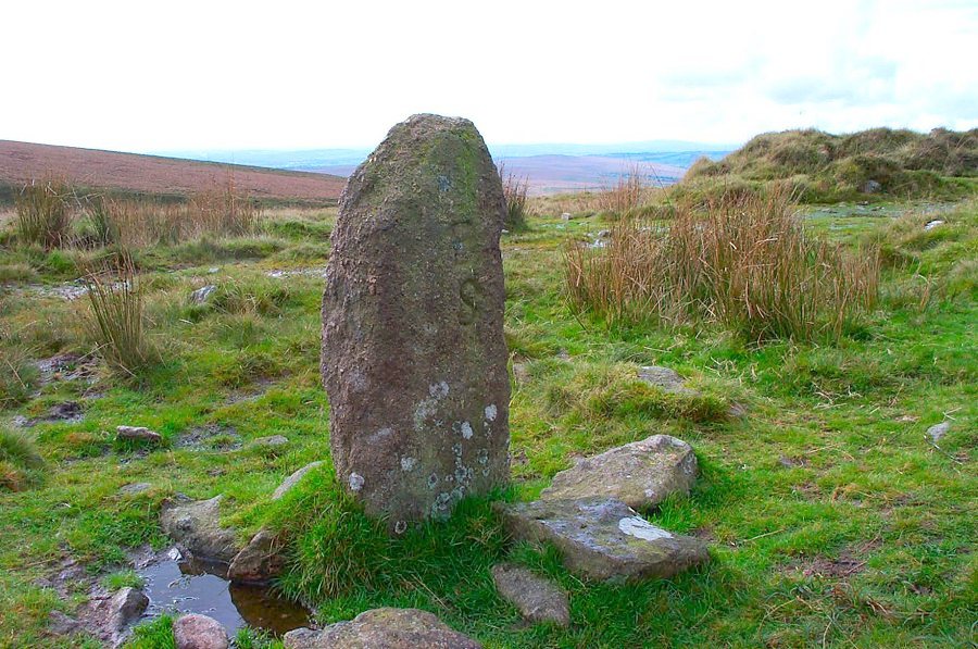
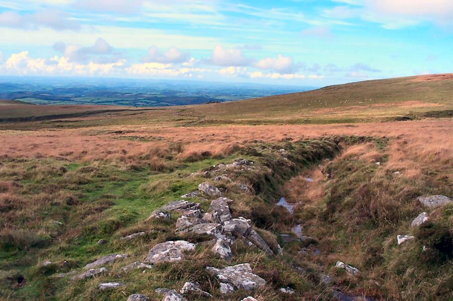
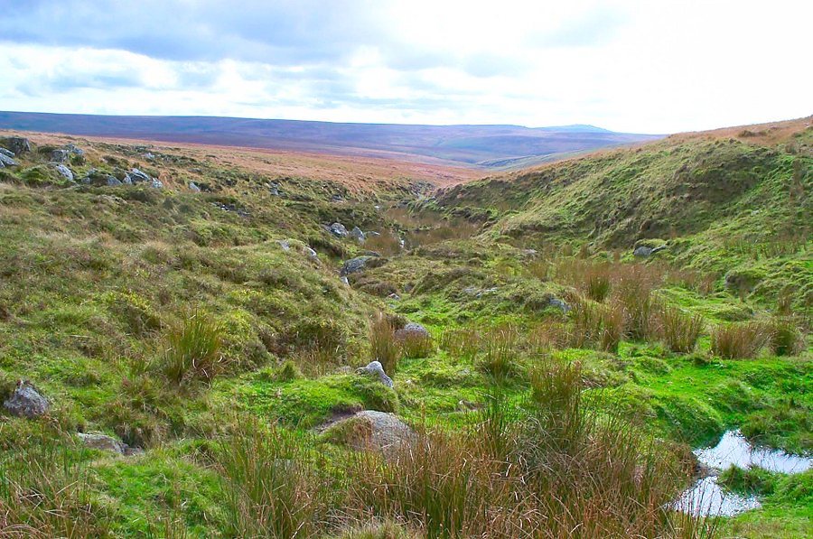
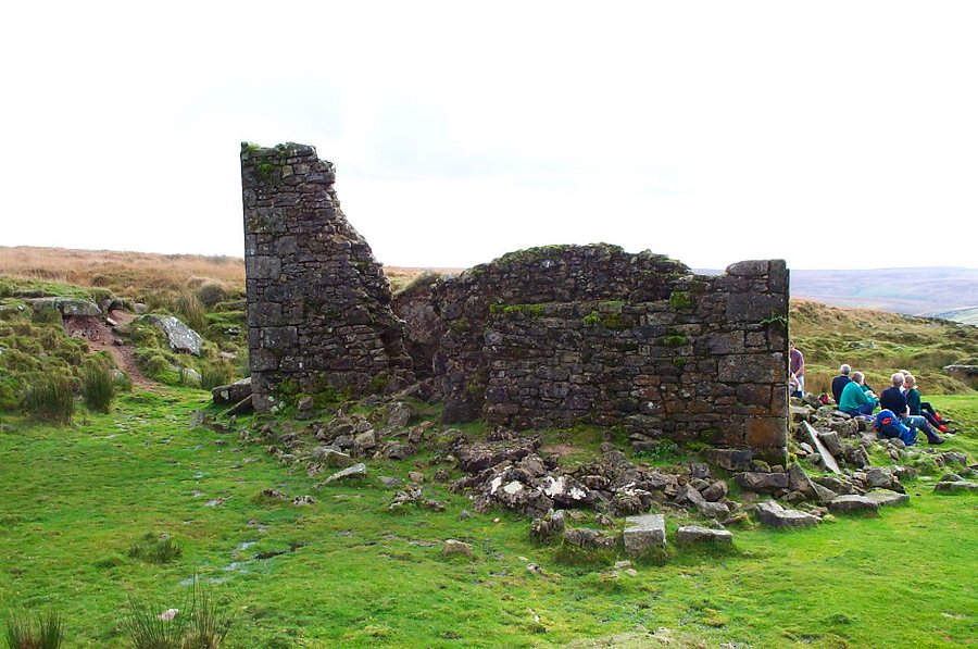
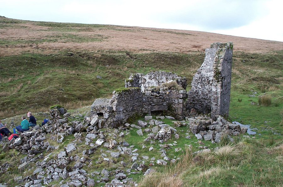
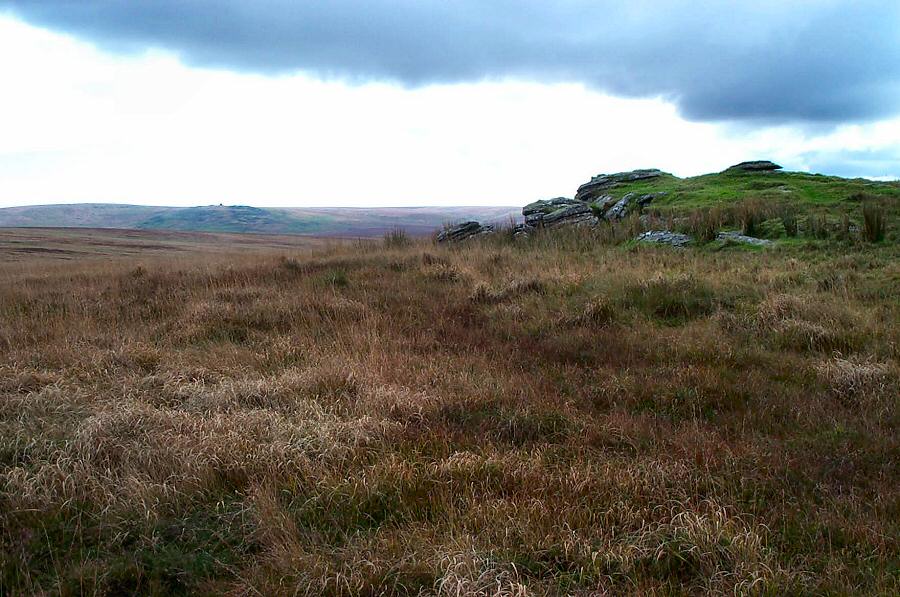
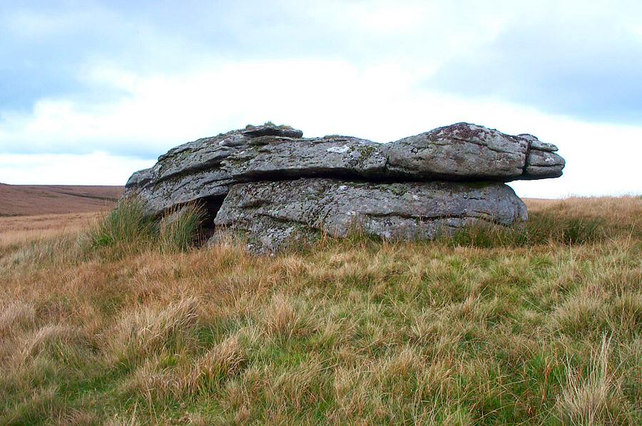
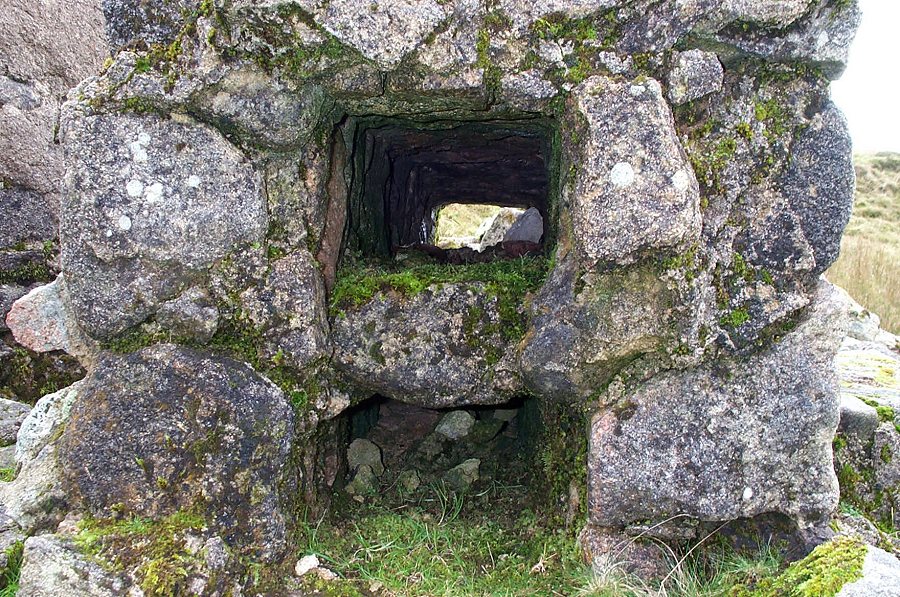
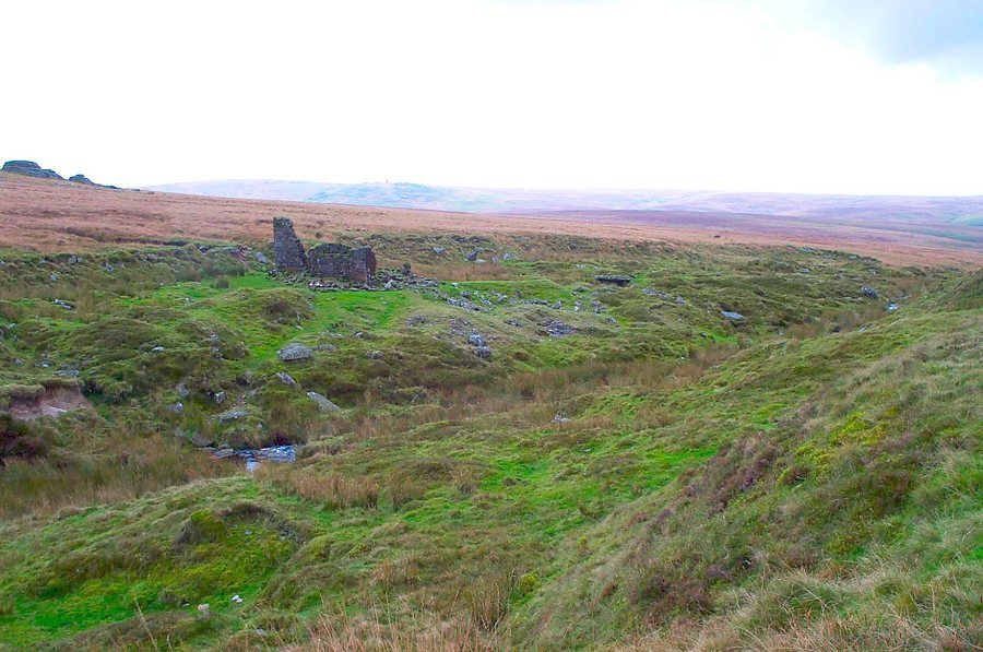
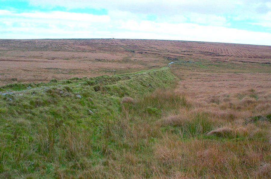
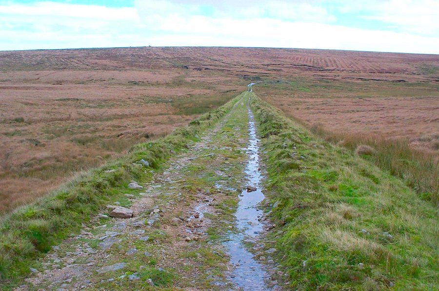
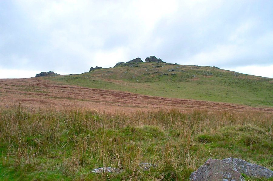
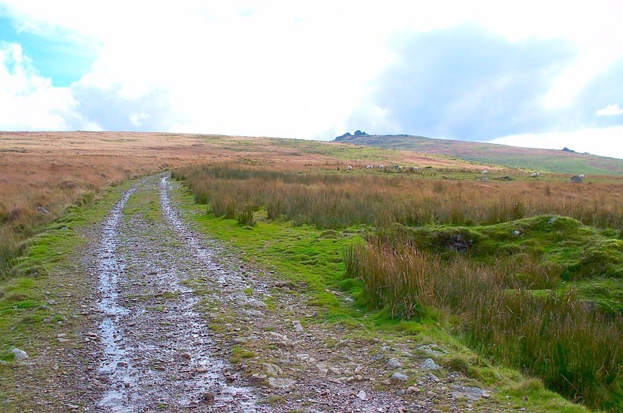
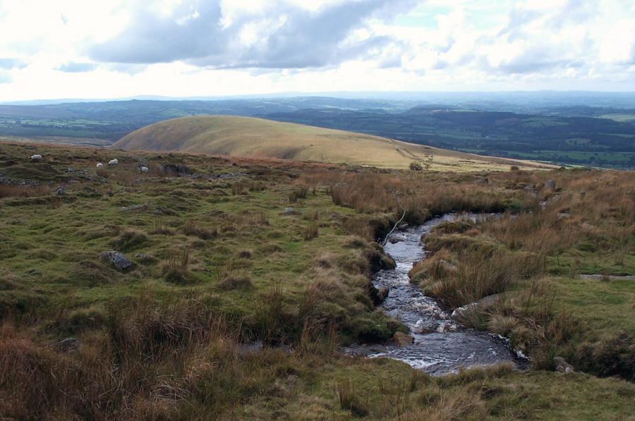
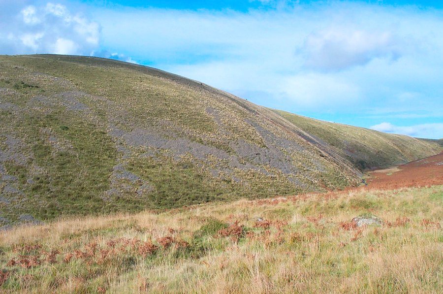
Bleak HouseBleak House was built to house the site manager of the Rattlebrook Peat Works. As the name implies this is a miserable place in bad weather. On a sunny day it is delightful. It lies on the side of Amicombe Hill with the remains of the peat works and other older tin works nearby. The Rattlebrook peat works tried to make a go of things in the early 1900's but finally packed up in 1930. It was an ambitious venture with serious money spent since a railway was constructed from Bridestowe Station all the way up the moor to the peat workings. But as the saying goes "scratch Dartmoor and it will break your back". The business failed.Park at the car park (SX 526853) just up the track from the Dartmoor Inn on the Okehampton - Tavistock road. Walk over Lydford High Down, cross the Lyd at the ford and then head SE until you get to the Doetor Brook. Follow the brook as it takes you past plenty of old tin workings towards Dick's Well. The easterly path will take you to Bleak House. Then head north along the Rattlebrook until you find the old railway track. Follow it down as it takes you past Great Links Tor until you get the the Lyd stream. Then follow the Lyd as it passes beside the impressive whaleback of Great Nodden until you get back to the ford.This is a good 6 mile walk. It isn't particularly wet or boggy and the railway track is easy to walk. Allow about 4 hours at a reasonable pace. In clear weather the views are really good - especially over Cornwall.Some of the walk lies within the army firing range.
|
||||||||||||||||||||||||||||||||||||||||||||||||||
All | Little | Shorter | Standard | Longer | Tors | Relics | History | Links | Panoramas | Home | ||||||||||||||||||||||||||||||||||||||||||||||||||