
All | Little | Shorter | Standard | Longer | Tors | Relics | History | Links | Panoramas | Home
|
|
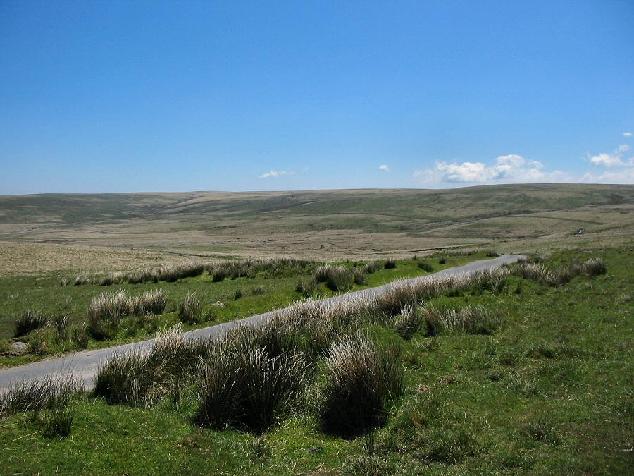
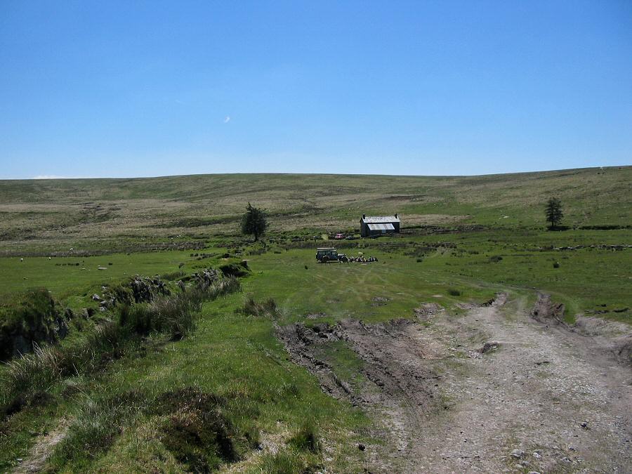
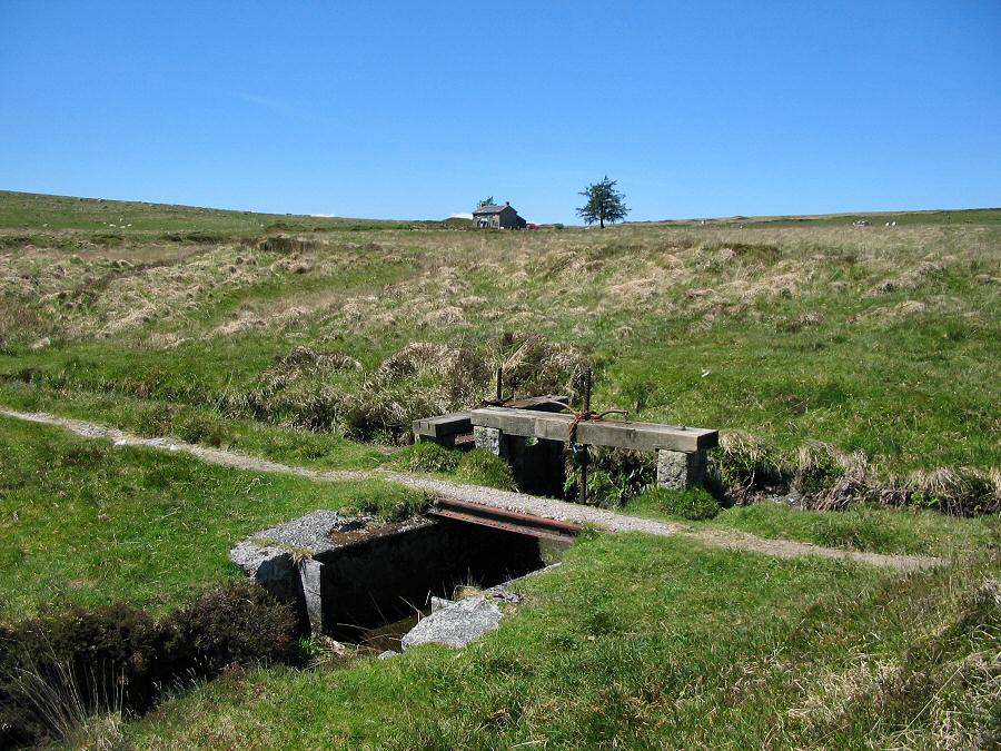
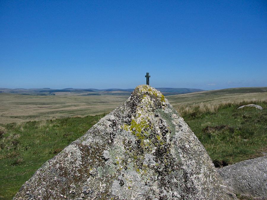
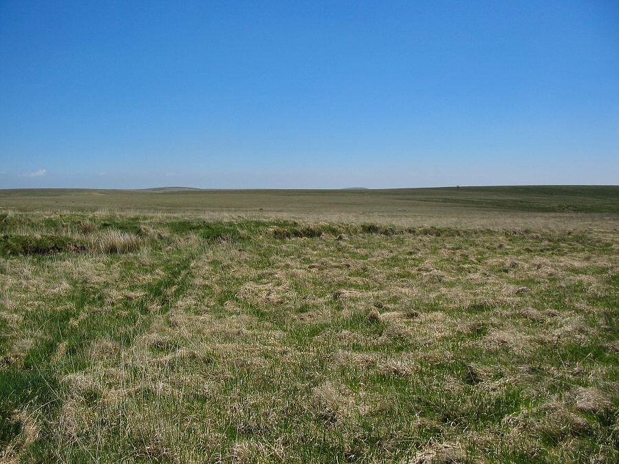
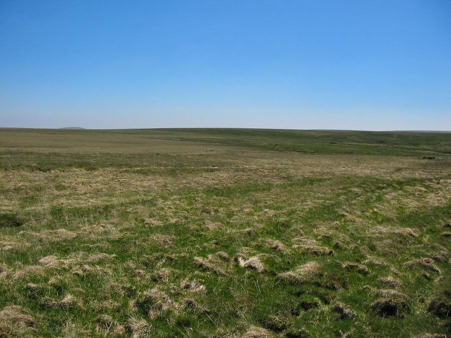
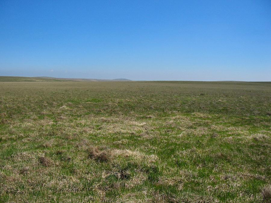
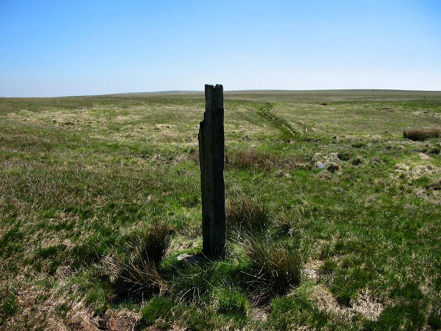
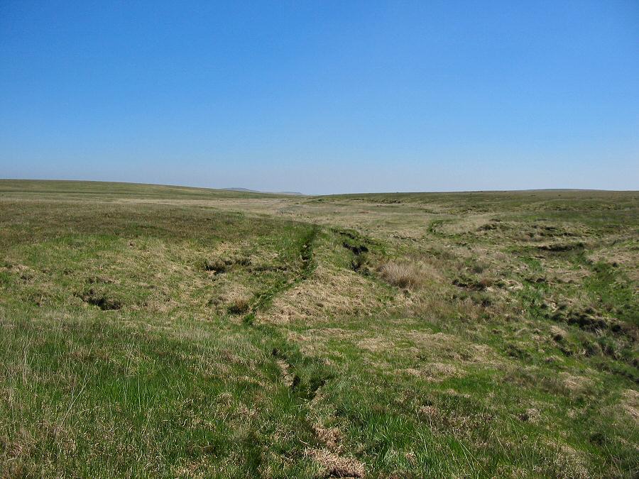
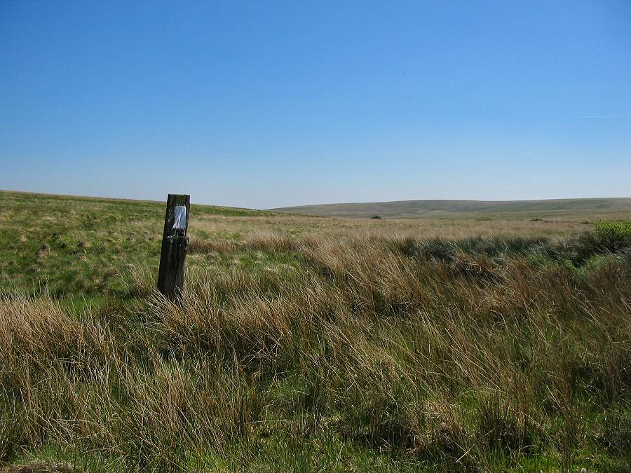
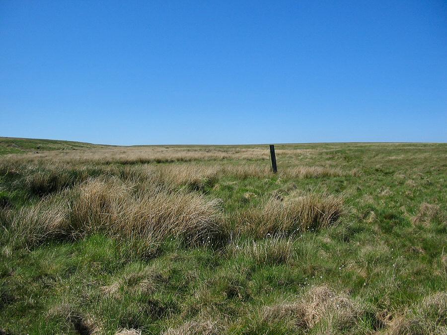
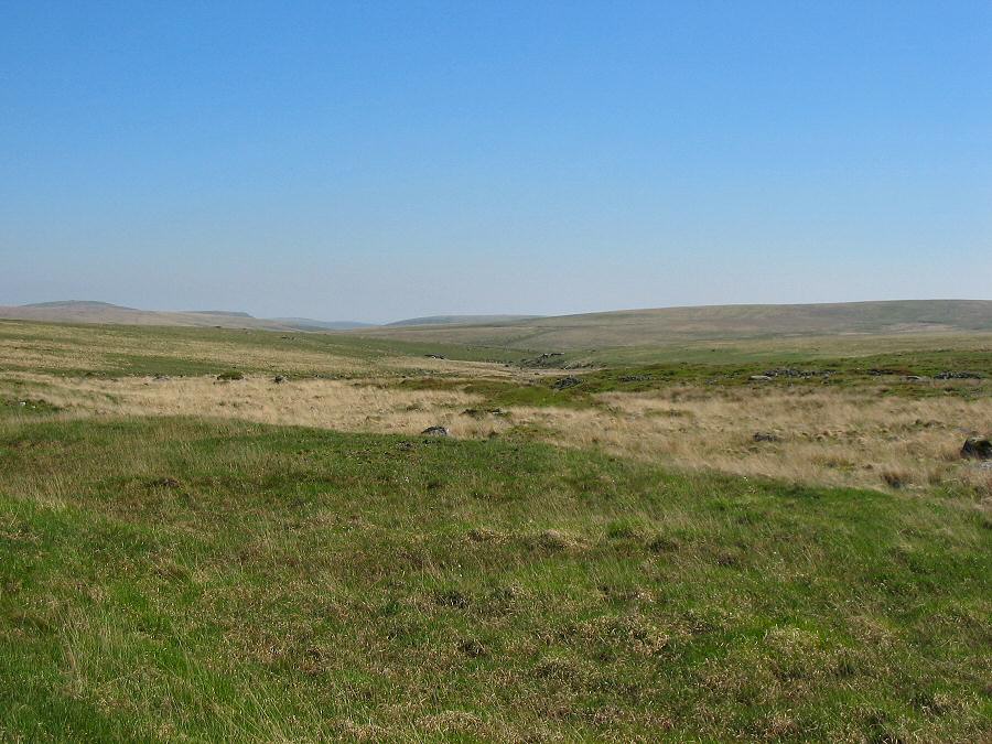
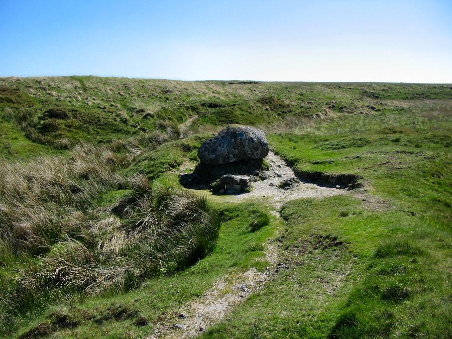
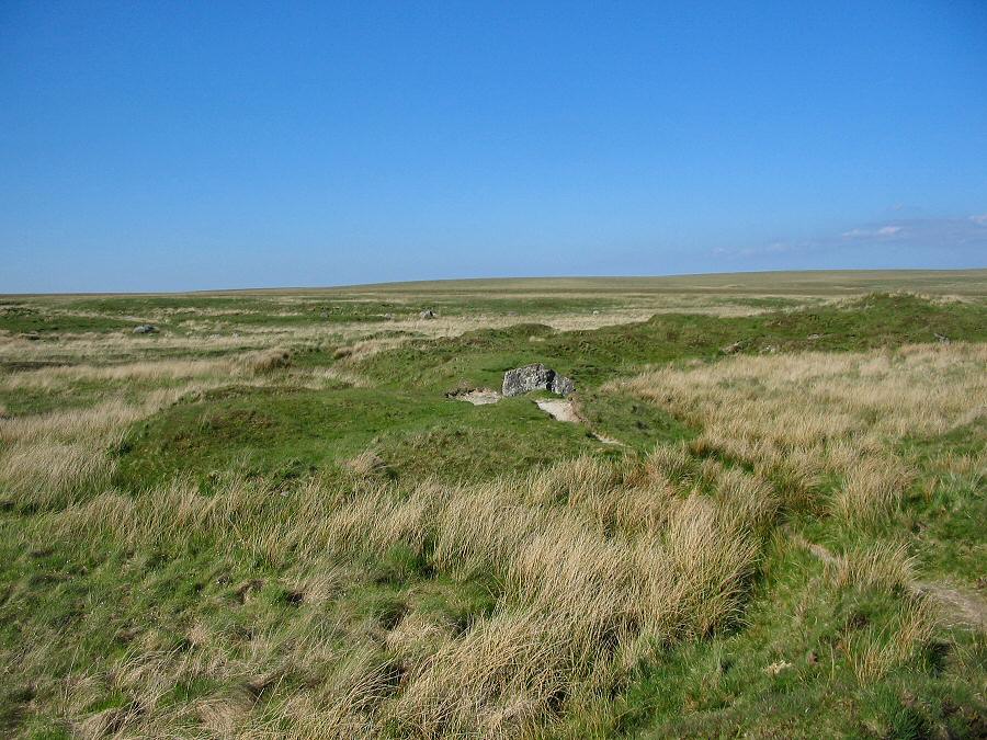
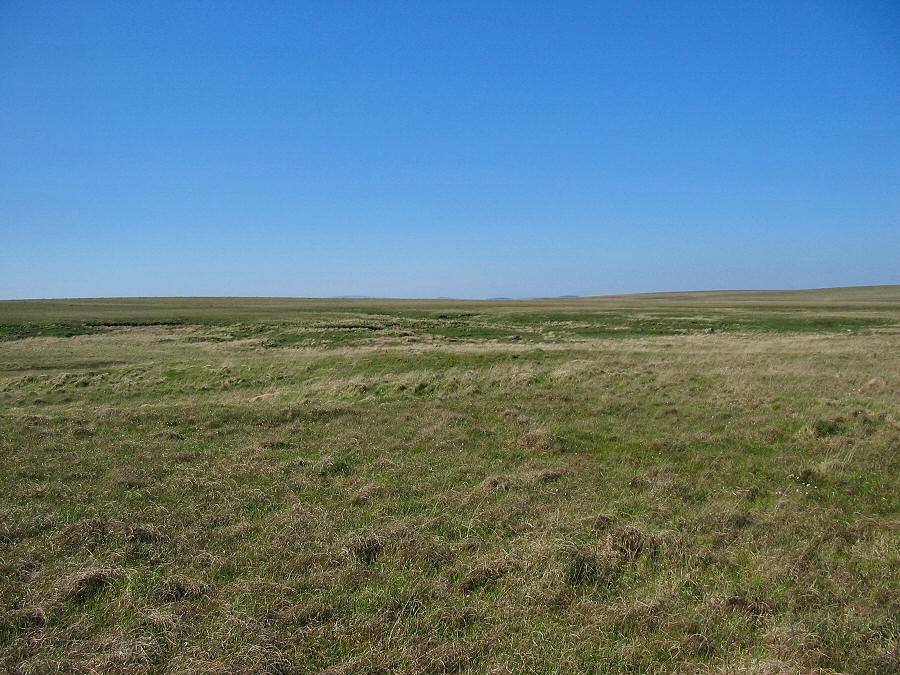
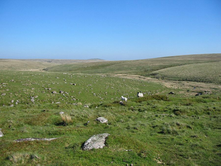
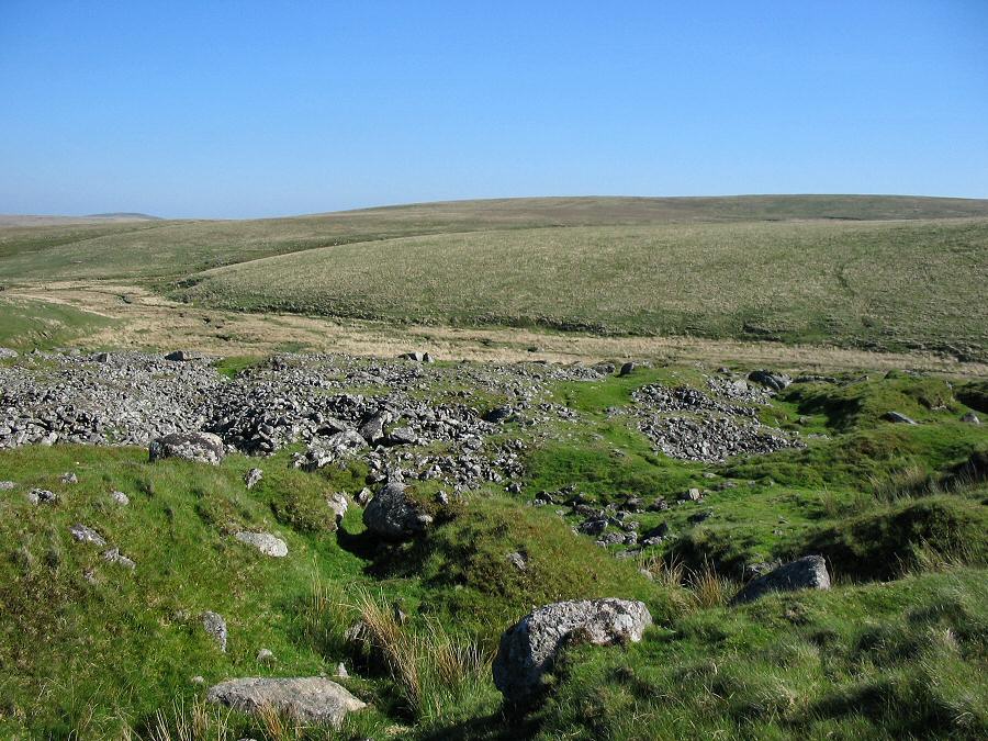
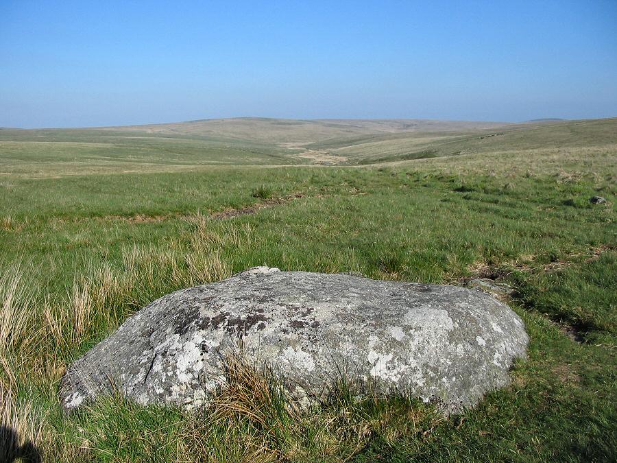
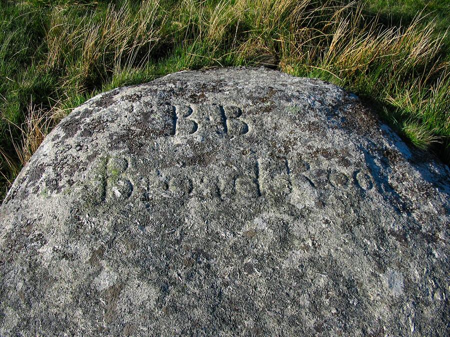
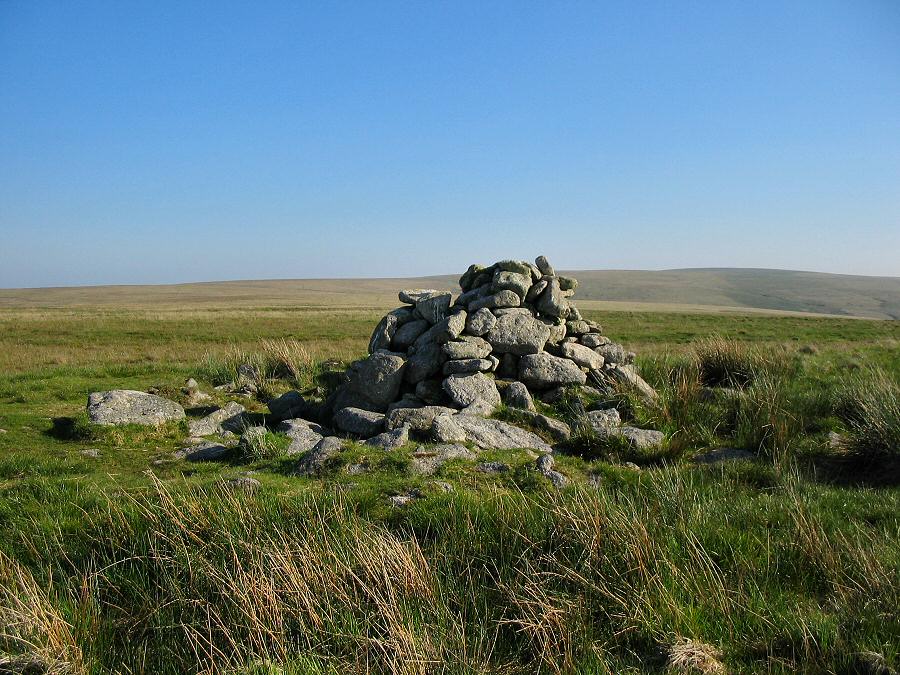
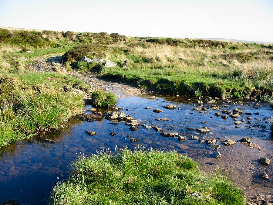
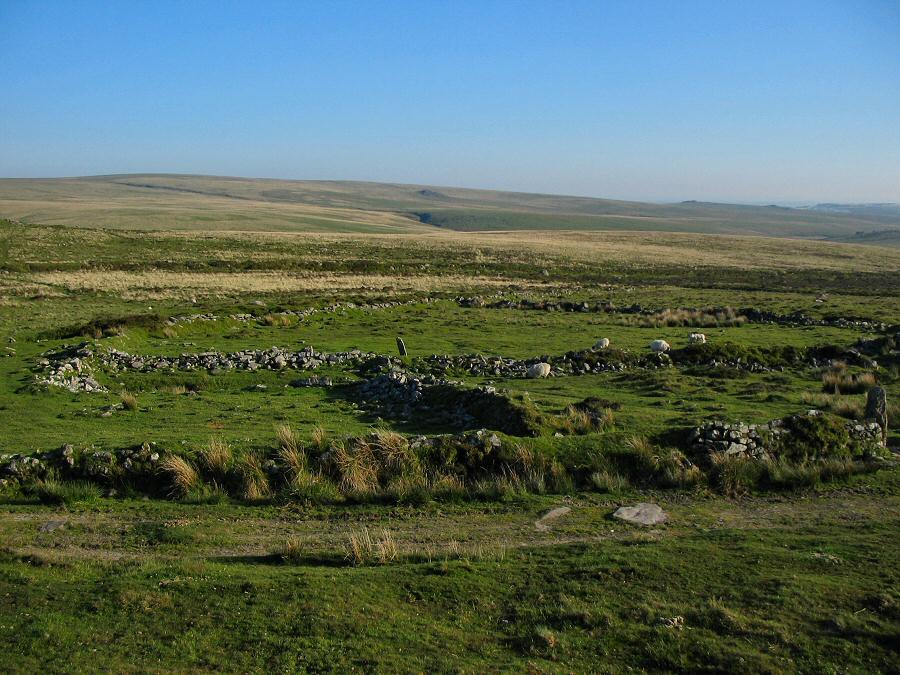
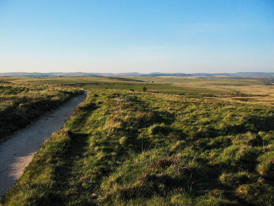
Black LaneBlack Lane is just about the most isolated part of the southern moor. It starts from near Fox Tor and runs southwards down to the upper Erme. A small brook accompanies the Lane. There's a lot of old tinning remains around the confluence of Black Lane and the Erme.Approach from the southern road out from Princetown. Just before the road turns to Whiteworks there is a handy car park (SX 603708). Head southwards along an easy track to Nun's Cross Farm. Then head due south up onto the western slopes of Crane Hill. Once you can see the broad expanse of Plym Head then walk due east over Crane Hill and head for the post (a railway sleeper) that marks the start of Black Lane. Then head south down the Blacklane valley, skirting the mire and then crossing the stream to go over to Duck's Pool. Then head south down to the upper Erme valley. You can then follow the Erme up to the head, go past Broad Rock and head for Great Gnat's Head. Then down to Plym Ford, SW to Eylesbarrow Tin mine and finally take the track back to Nun's Cross and the car park.Just over 8 miles. This is not a trivial walk and care needs to be taken especially if the weather turns bad. There's some boggy ground around the Blacklane Mire and Cater's Beam can be very wet underfoot as can Great Gnat's Head. Devon mist will really challenge your navigation skills in this part of the moor. The photos for this walk were taken in ideal conditions on a June day. It's not always like this!No army ranges to worry about.
|
|
All | Little | Shorter | Standard | Longer | Tors | Relics | History | Links | Panoramas | Home | |


