All | Little | Shorter | Standard | Longer | Tors | Relics | History | Links | Panoramas | Home
|
||||||||||||||||||||||||||||||||||||||||||||||||||||||||
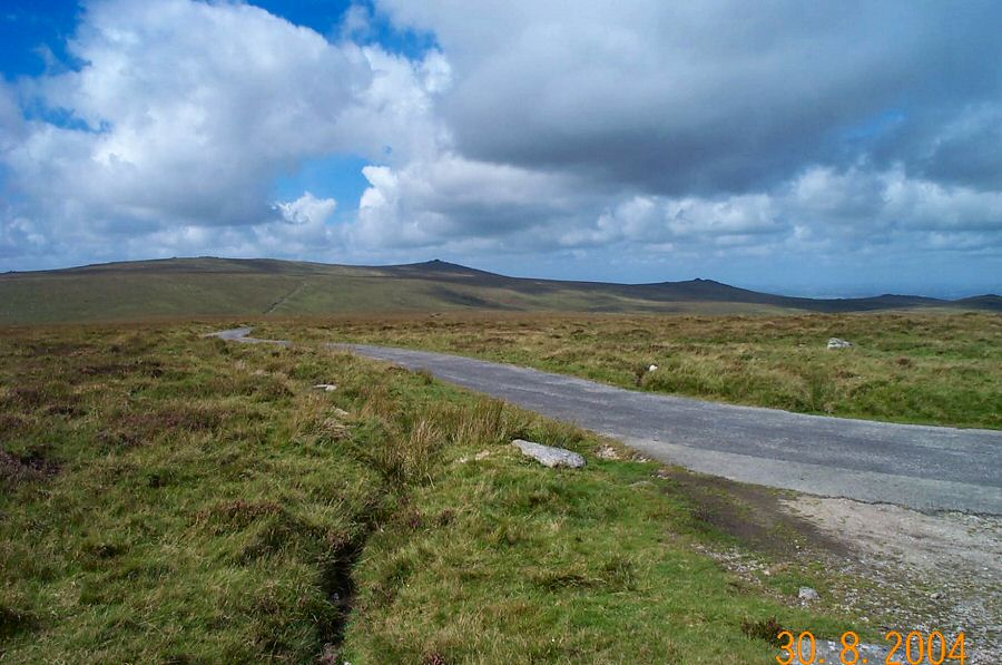
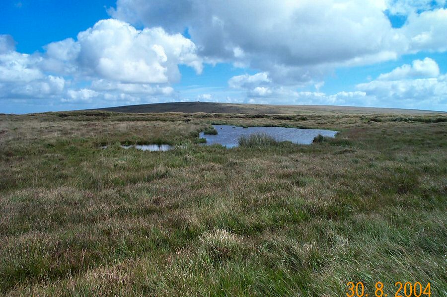
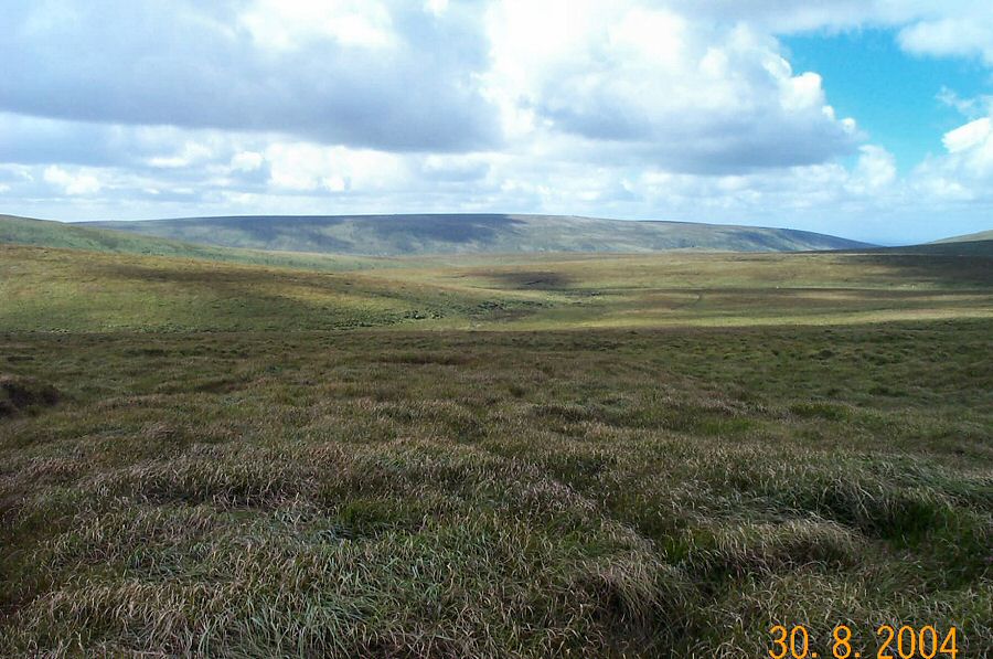
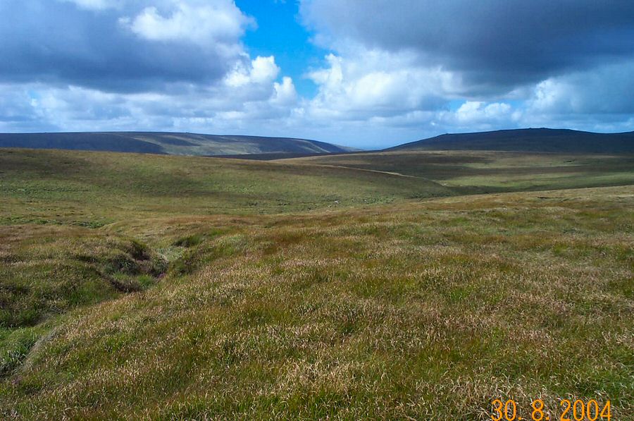
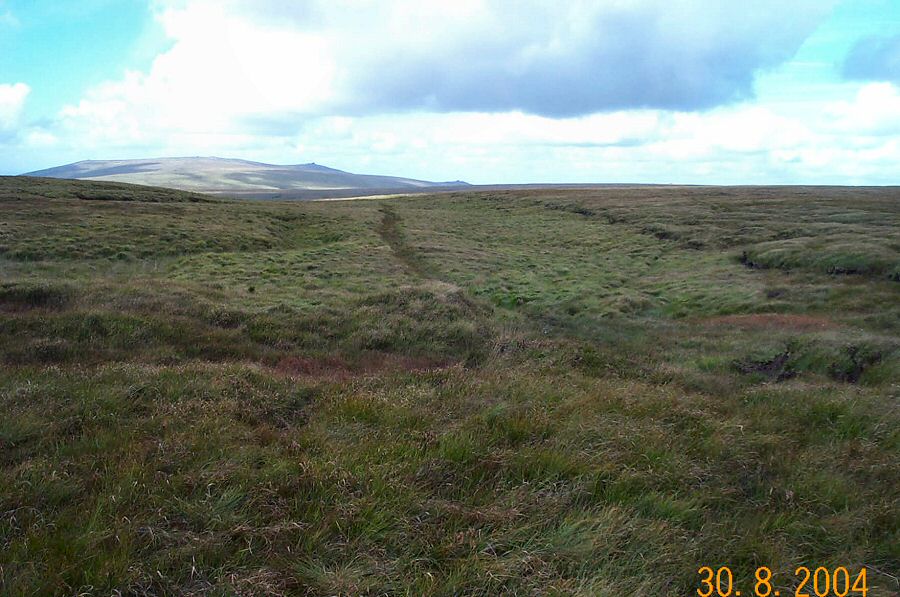
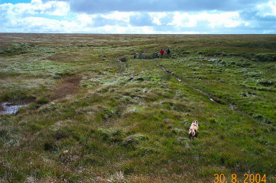
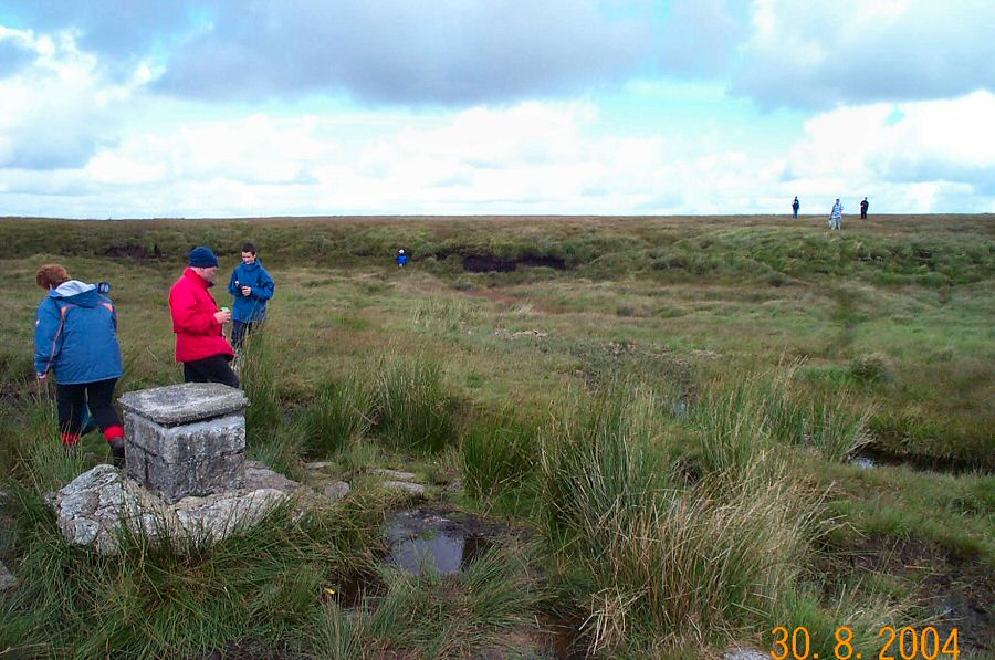
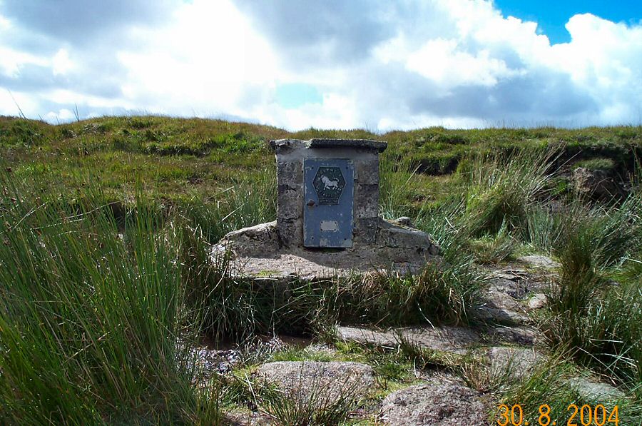
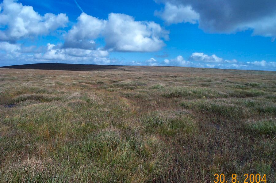
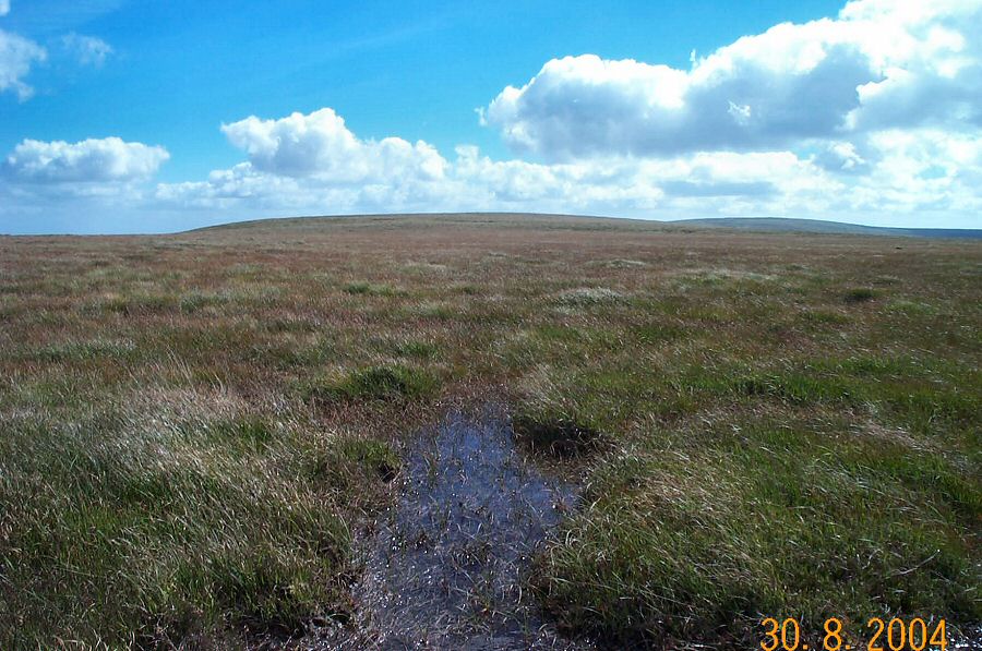
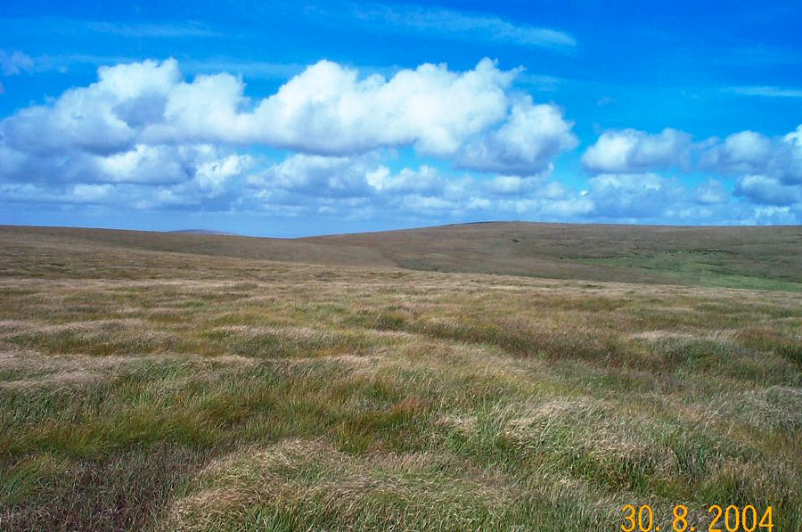
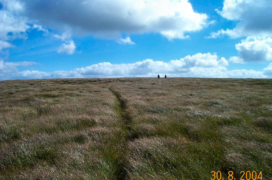
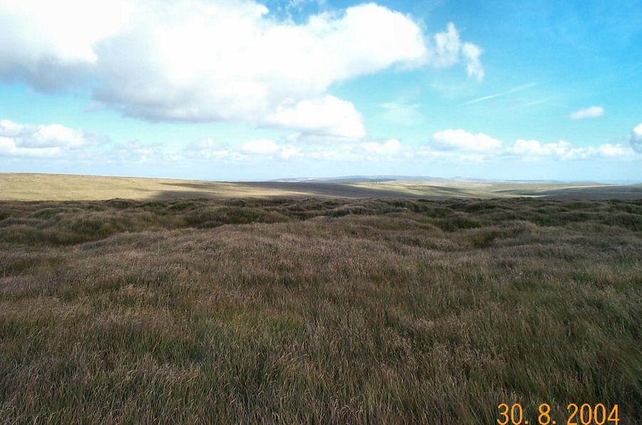
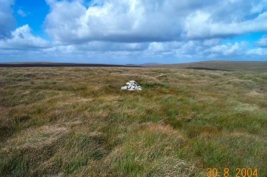
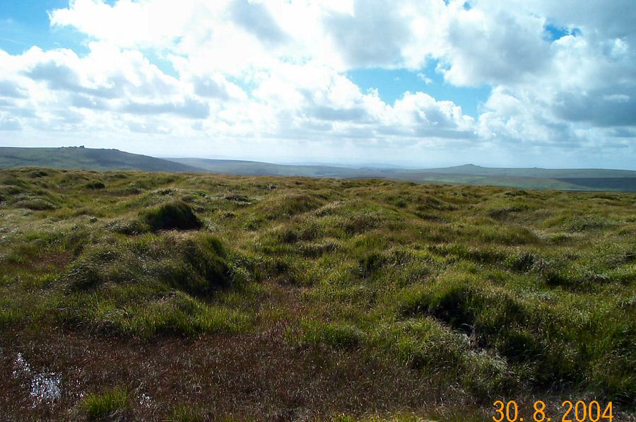
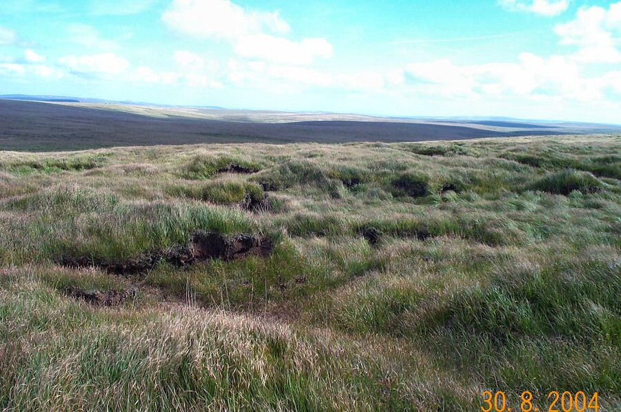
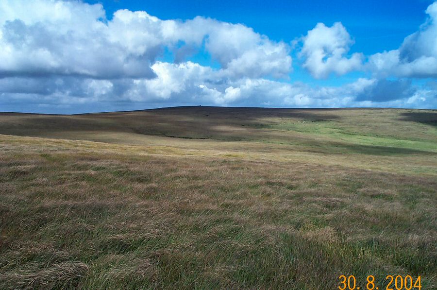
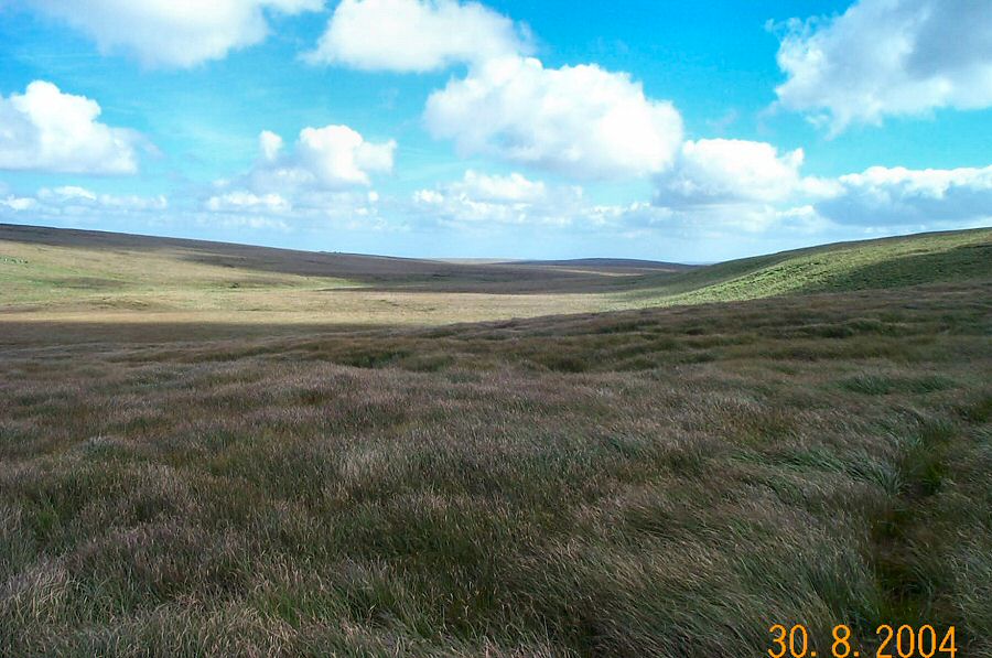
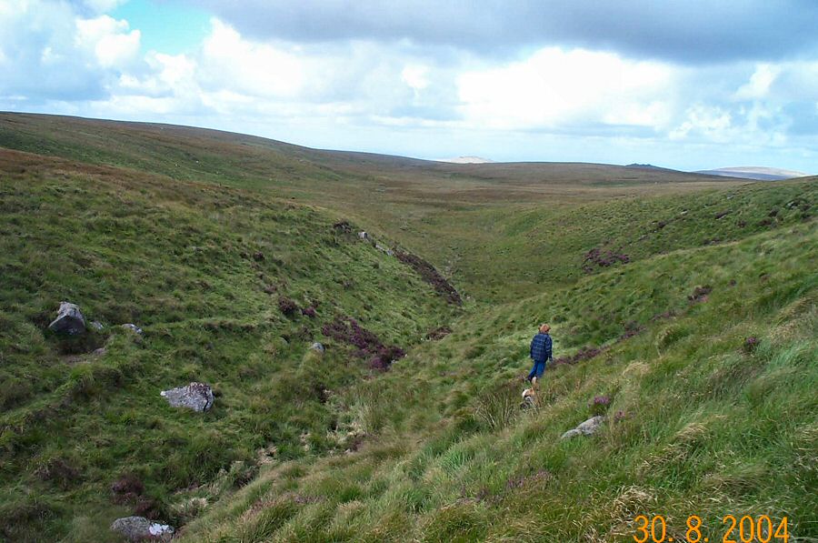
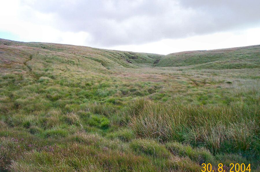
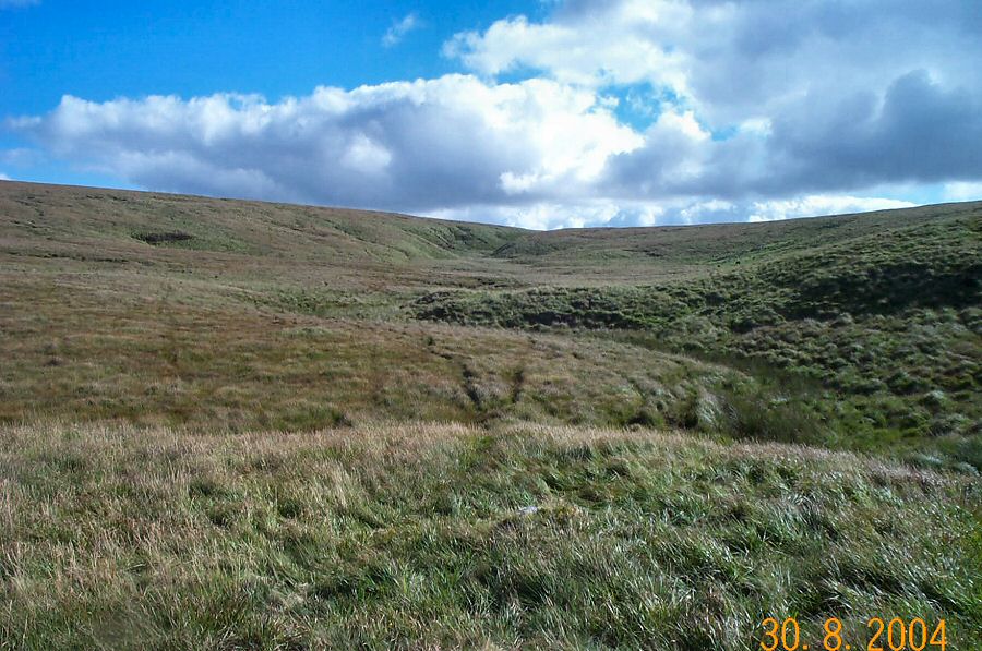
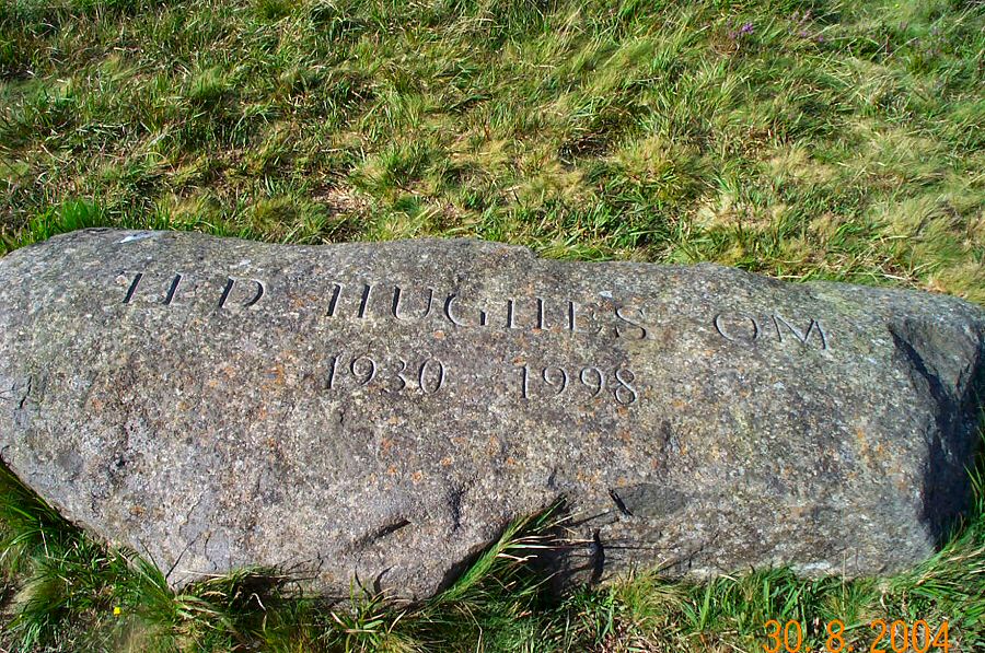
Black HillBlack Hill is probably one of the most unvisited and isolated parts of north Dartmoor. It adjoins Cut Hill, and like Cut Hill it is scarred by peat hags which makes walking a bit tricky. It is a wet and exposed place and in the summer the grass growth can hide holes and other obstacles. This walk isn't a long one, but you do experience the wilderness of Dartmoor. There are excellent views over the isolated East Dart Head and the ridge of Hangingstone, Whitehorse and Quintin's Man. In good weather the southerly views are superb.Approach OP15 (Observation Post 15) SX 603878 by the military road from Okehampton Camp. Park, take a southerly bearing and head down the rough path. Head off right, pass Ockerton Court and then head southwards for Cranmere Pool following the headstream up. From Cranmere walk south over wet ground to Black Hill. Admire the views and then head NE so that you are walking along the shoulder of ground that leads towards the East Dart and Taw watershed. There are a couple of wet but distinct tracks. From Taw head take the right hand side if you want to visit the Hughes memorial, but otherwise head northwards which will take you back to the military road that returns to OP 15.The described walk is about 4.5 miles - although there is lots of scope to extend the walk to Cut Hill or Fur Tor. The ground is rough and wet and in poor weather this could be quite a challenging walk. A map and compass is essential.This area lies in the army firing range.
|
||||||||||||||||||||||||||||||||||||||||||||||||||||||||
All | Little | Shorter | Standard | Longer | Tors | Relics | History | Links | Panoramas | Home | ||||||||||||||||||||||||||||||||||||||||||||||||||||||||