All | Little | Shorter | Standard | Longer | Tors | Relics | History | Links | Panoramas | Home
|
||||||||||||||||||||||||||||||||||||||
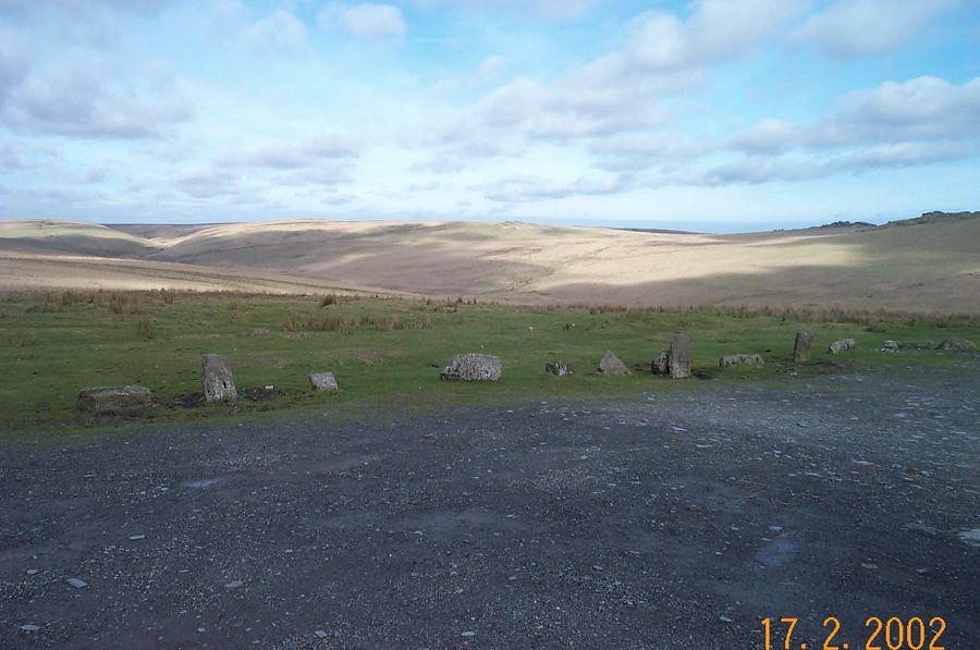
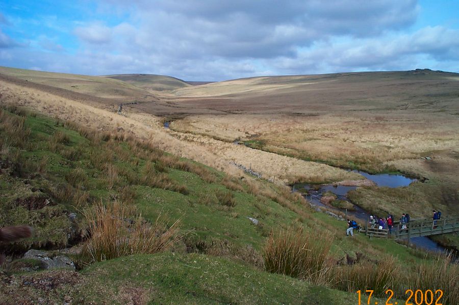
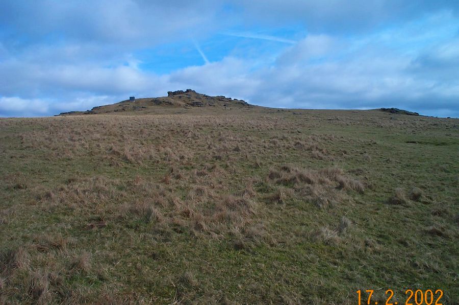
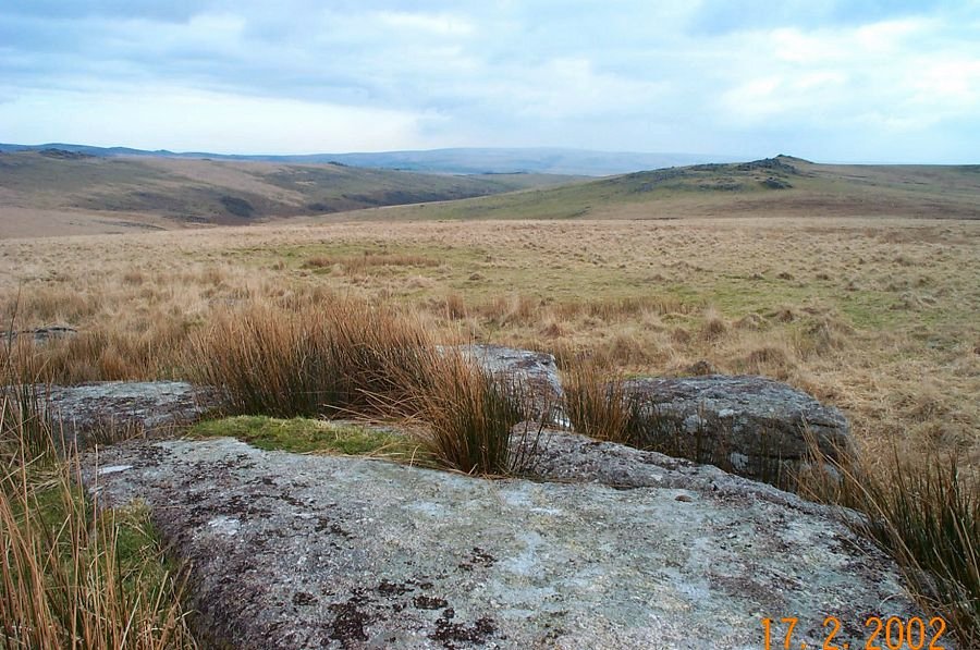
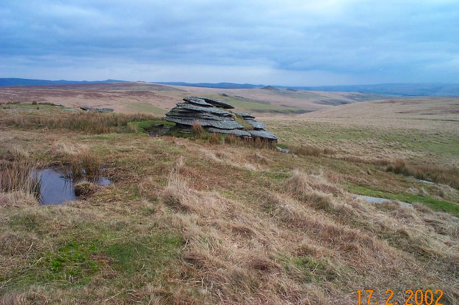
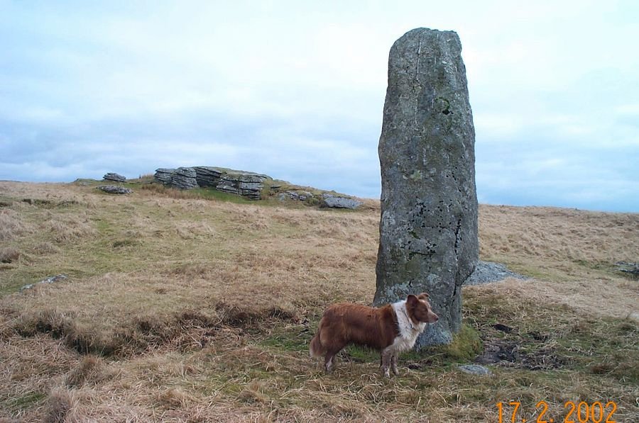
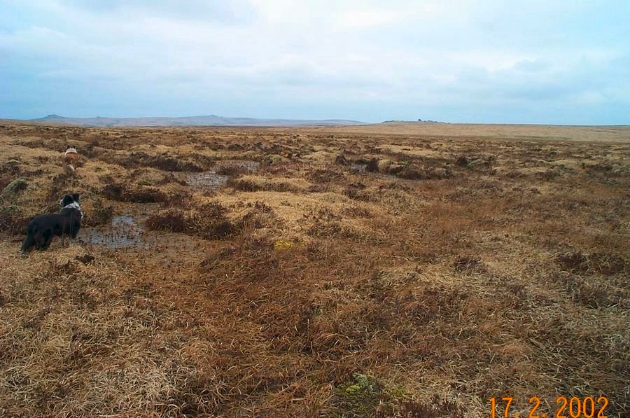
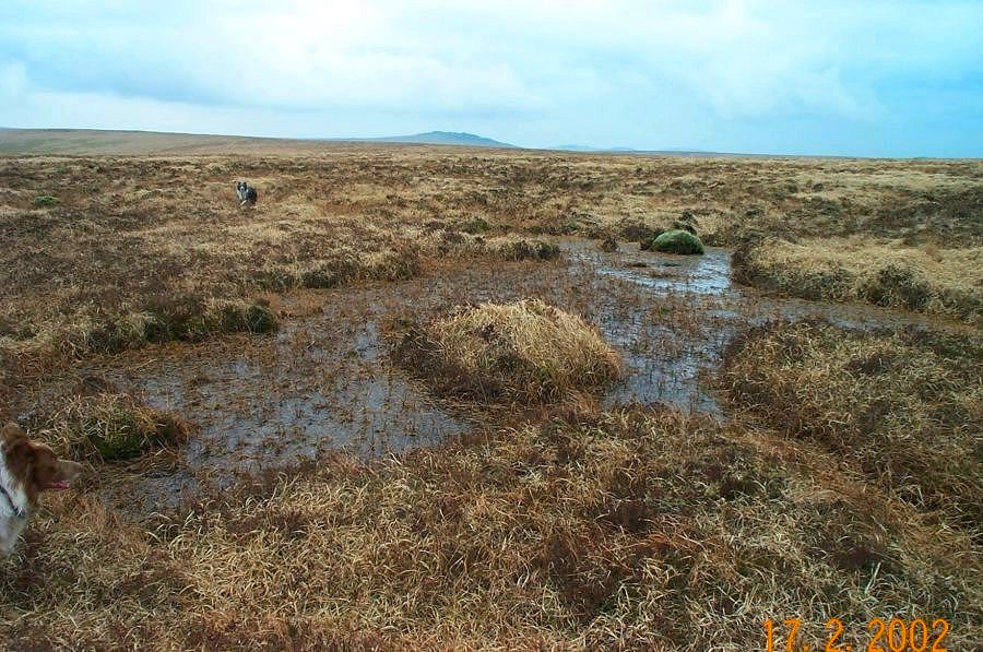
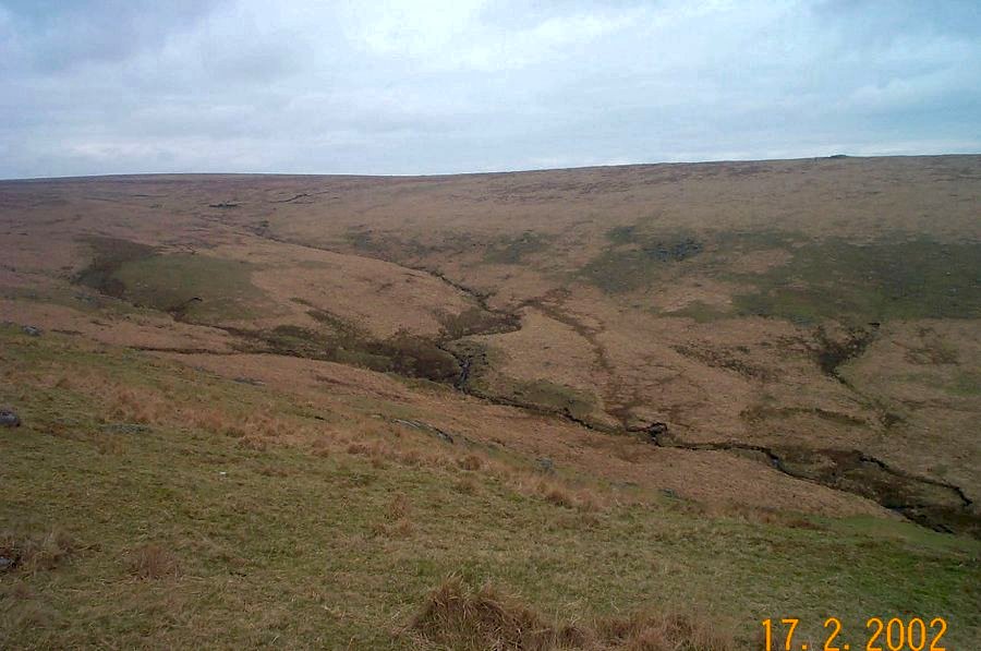
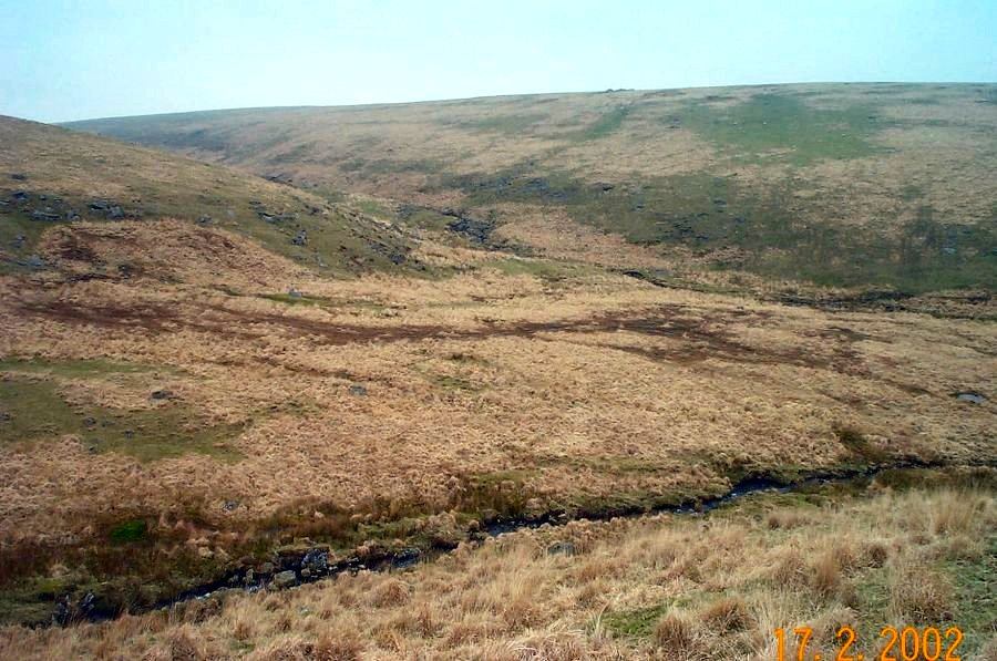
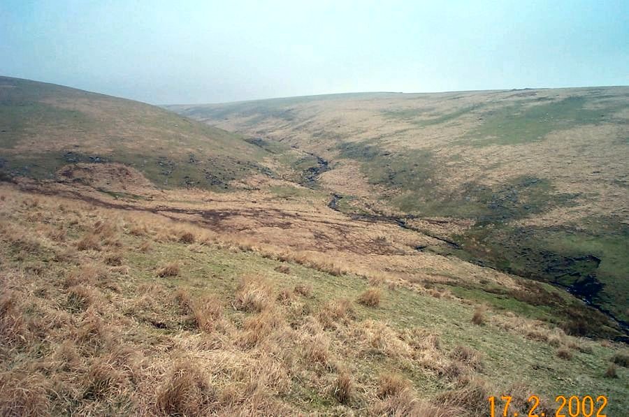
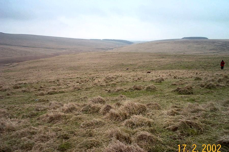
Beardown ManBeardown Man is a tall standing granite stone - or menhir - some 11 feet high. It is the tallest menhir on Dartmoor and no one knows what it's original purpose was except that it was built in the Bronze Age. Was it a way marker, or did it have some symbolic purpose? Unlike many other Dartmoor menhirs, Beardown stands on it's own in splendid isolation and in rather an isolated place. Man stems from the old word maen meaning stone.Park by Holming Beam (SX 591765), walk up the track, and turn right down a short steep track towards the Cowsic. Cross over the wooden bridge and head up towards Lydford Tor. Go over the newtake wall and walk north towards Devil's Tor. Here you'll find the Beardown Man. Carry on north following the line of the Cowsic Head. The ground now gets a bit trickier as we approach serious fen country. Walk around the head - there are excellent views from here - and make for Conies Down. Cross Conies Down water at any convenient place and then head back over the down to the car park.In good weather this walk is a delight. In bad weather it could be difficult. Map and compass are essential. Most of the area is in a military range. Allow 3 hours.
|
||||||||||||||||||||||||||||||||||||||
All | Little | Shorter | Standard | Longer | Tors | Relics | History | Links | Panoramas | Home | ||||||||||||||||||||||||||||||||||||||