
All | Little | Shorter | Standard | Longer | Tors | Relics | History | Links | Panoramas | Home
|
|
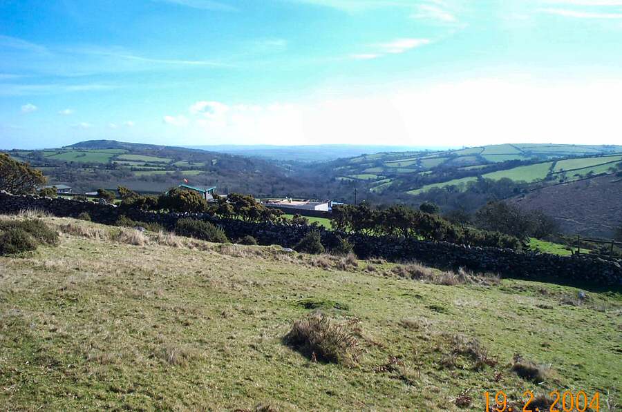
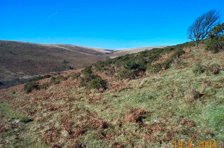
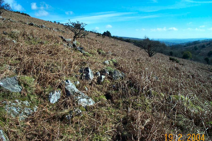
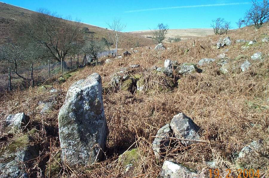
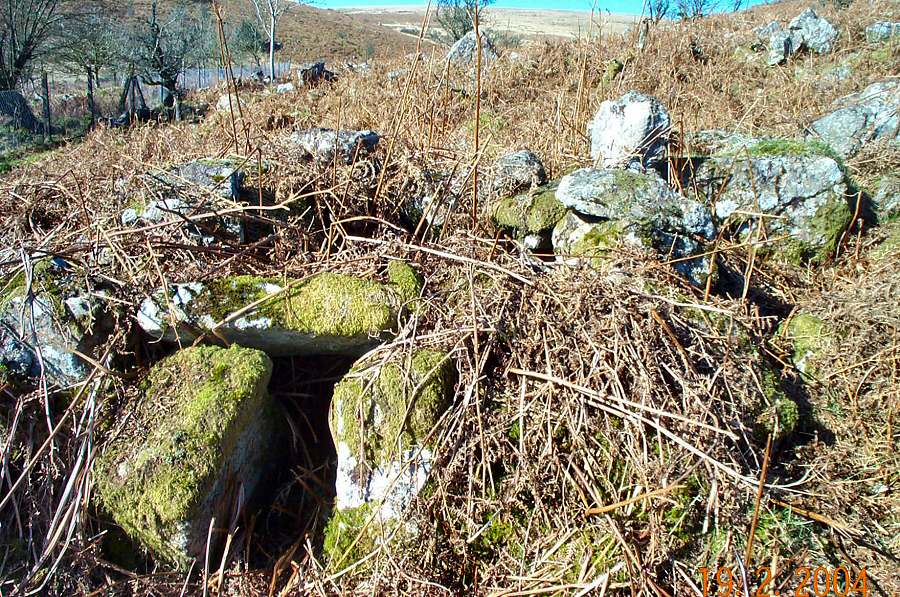
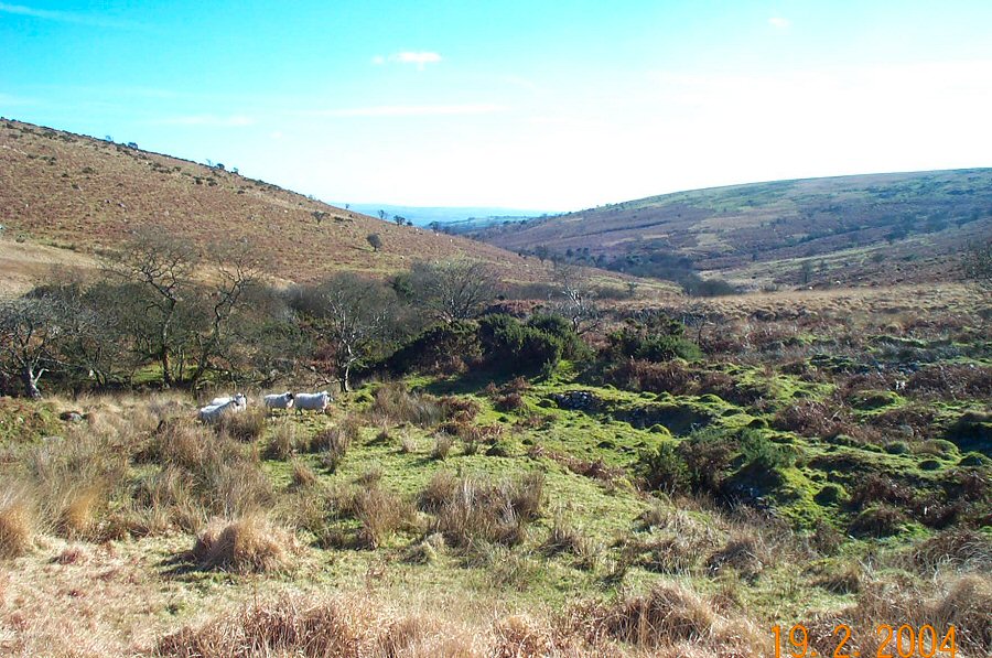
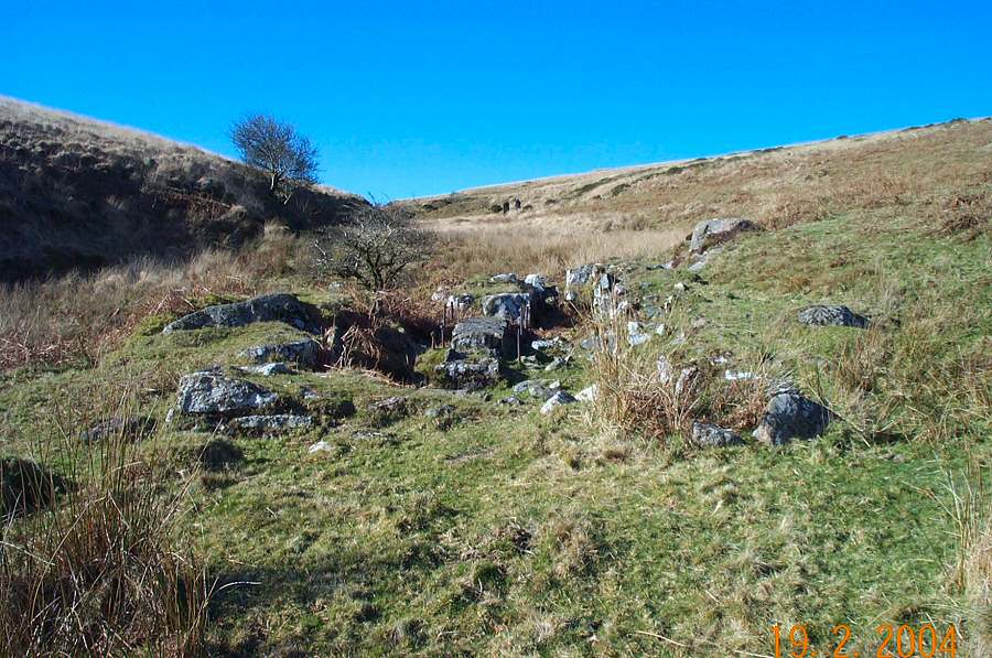
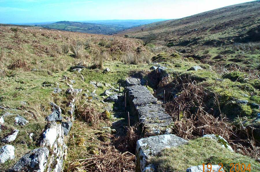
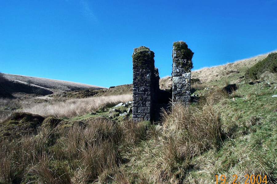
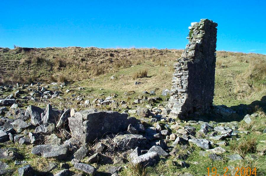
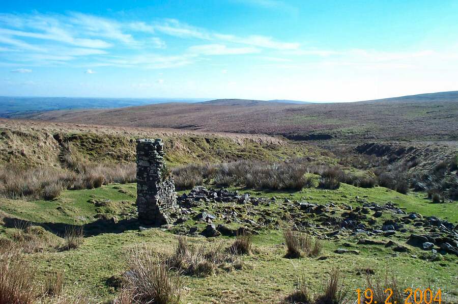
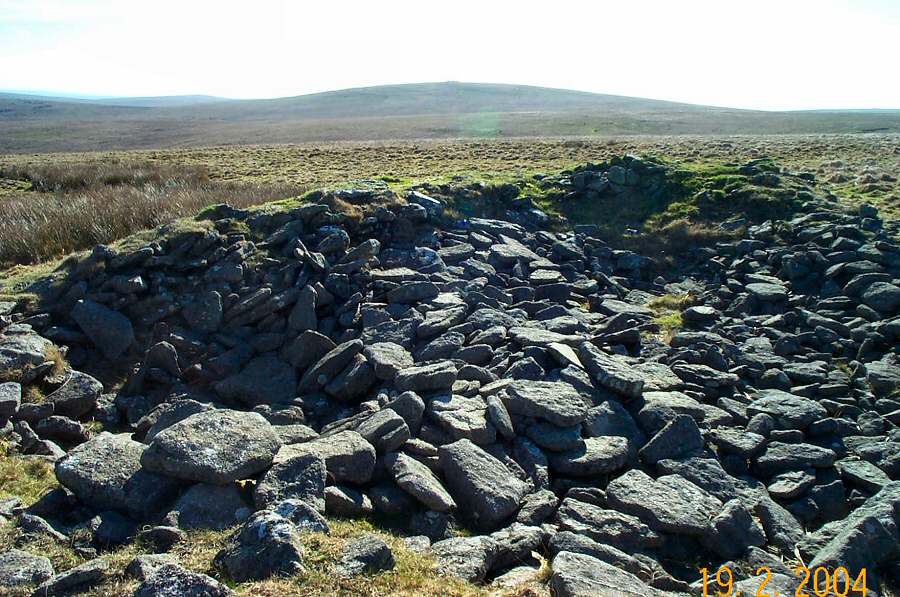
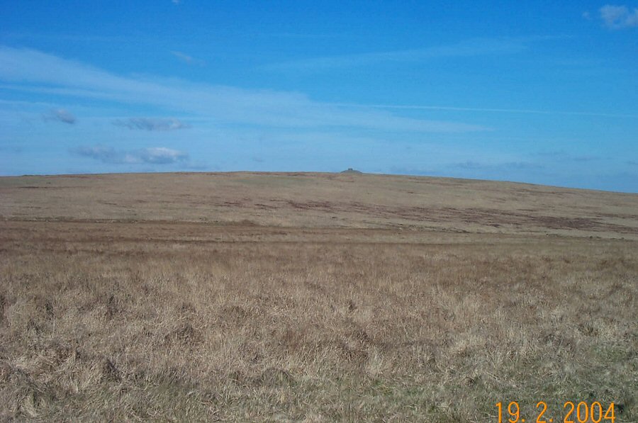
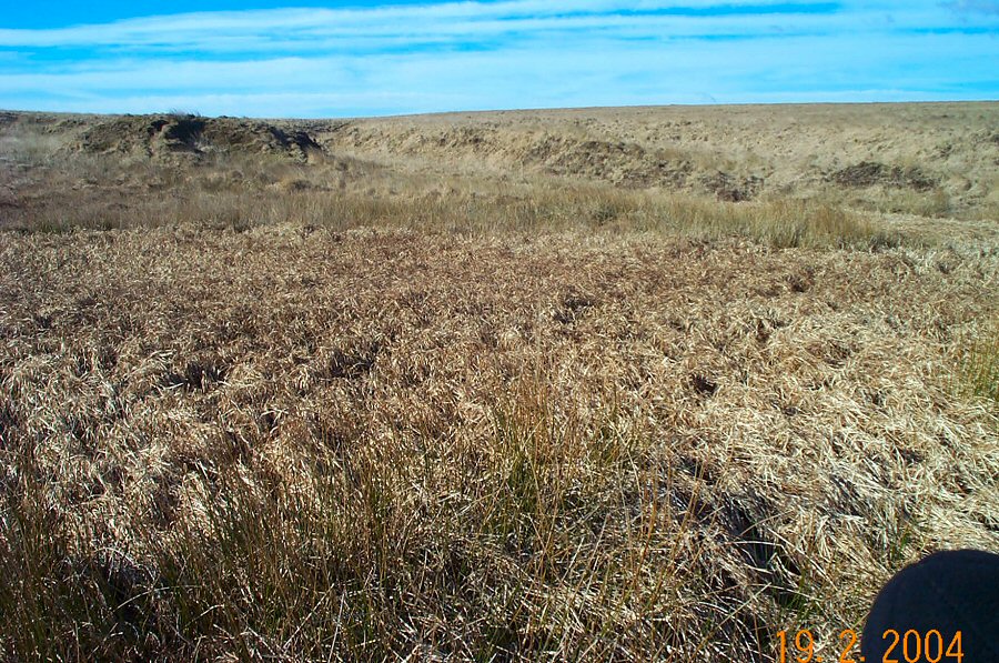
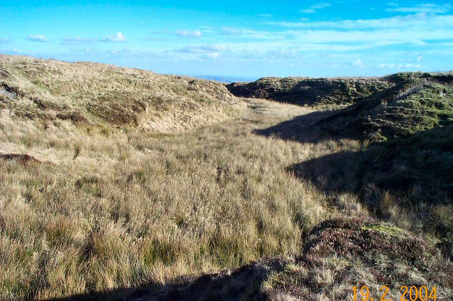
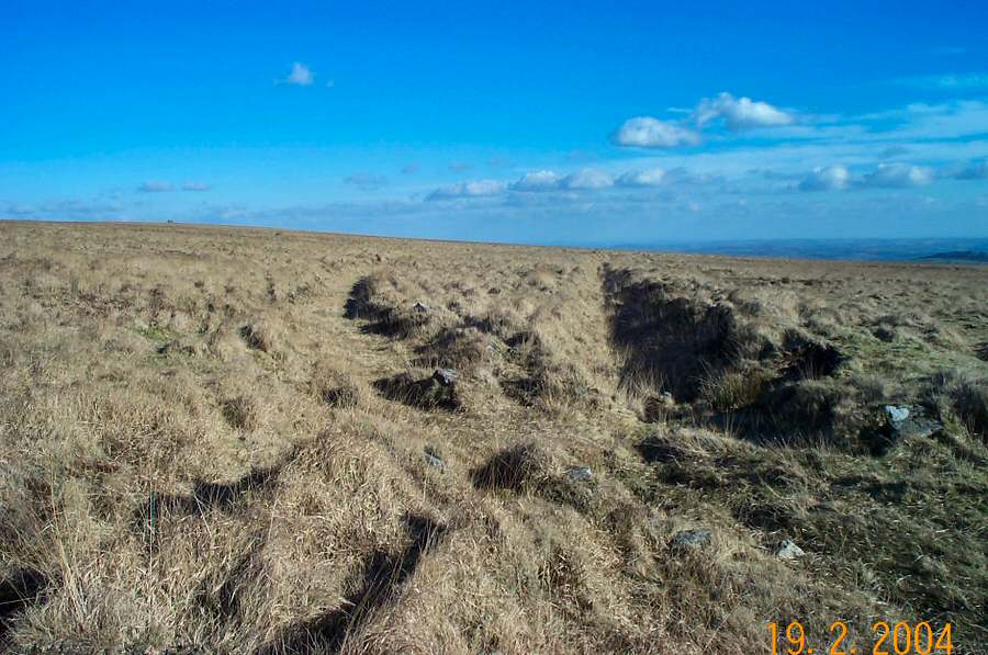
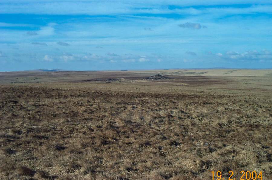
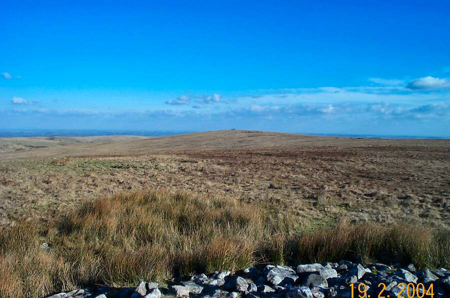
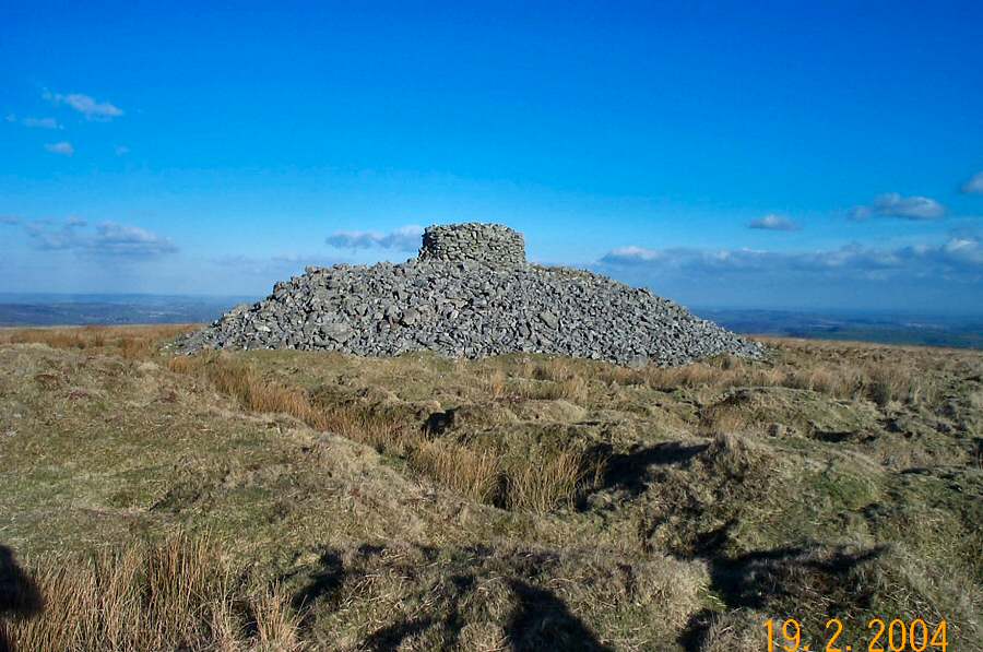
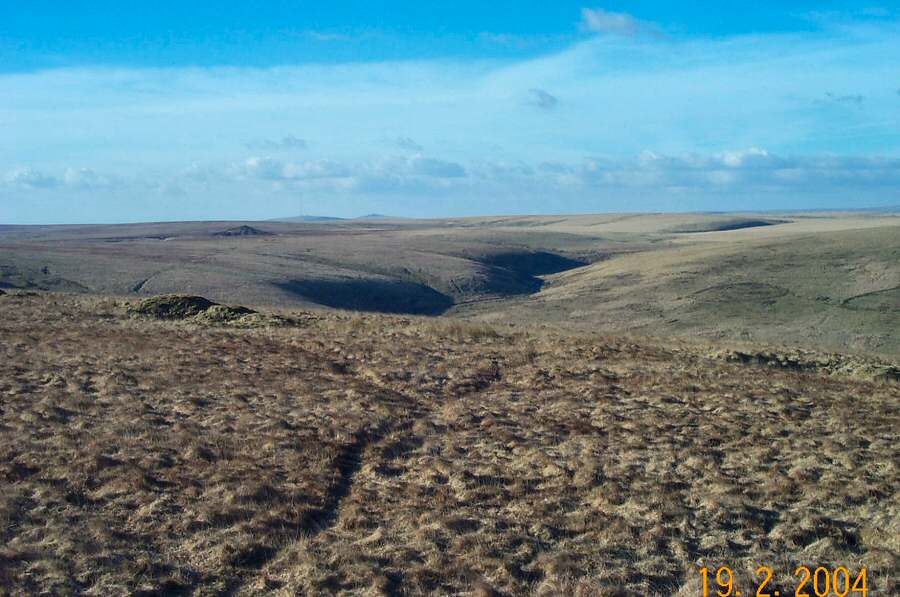
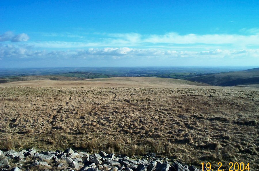
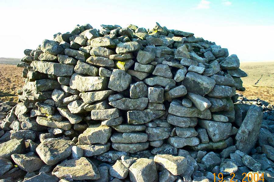
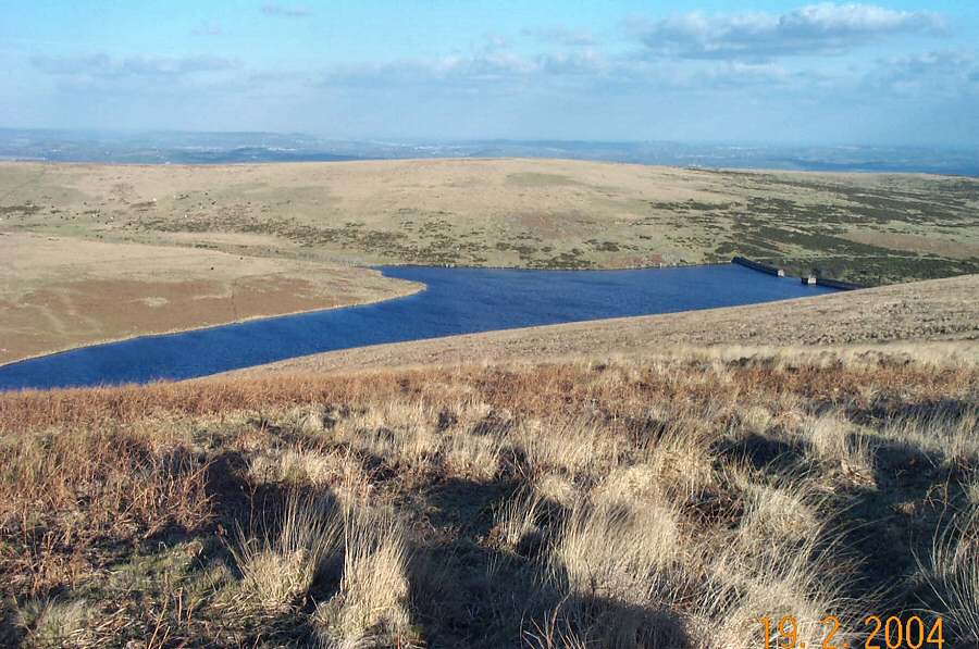
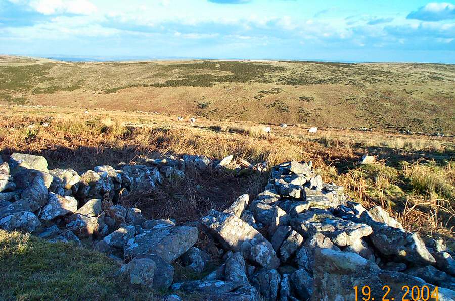
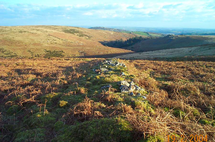
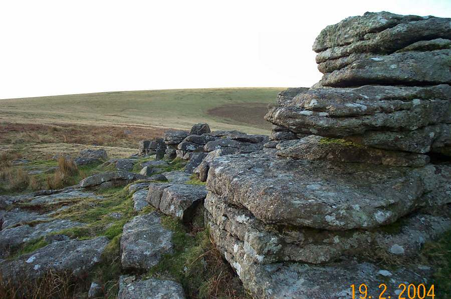
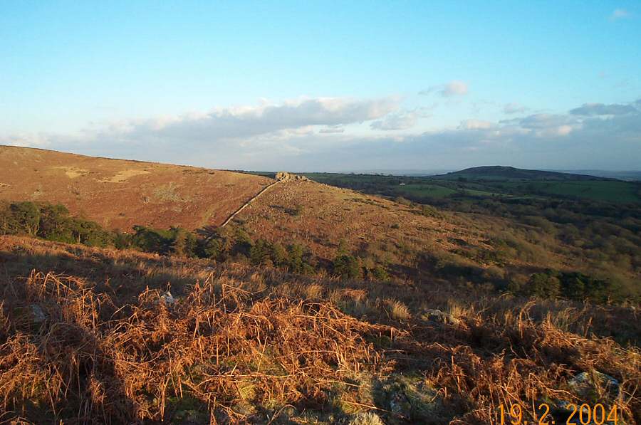
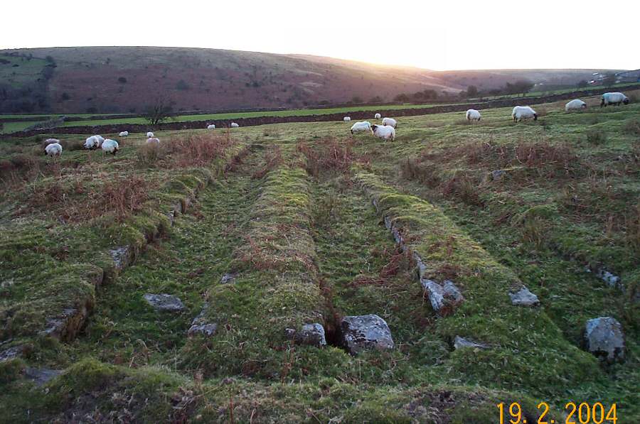
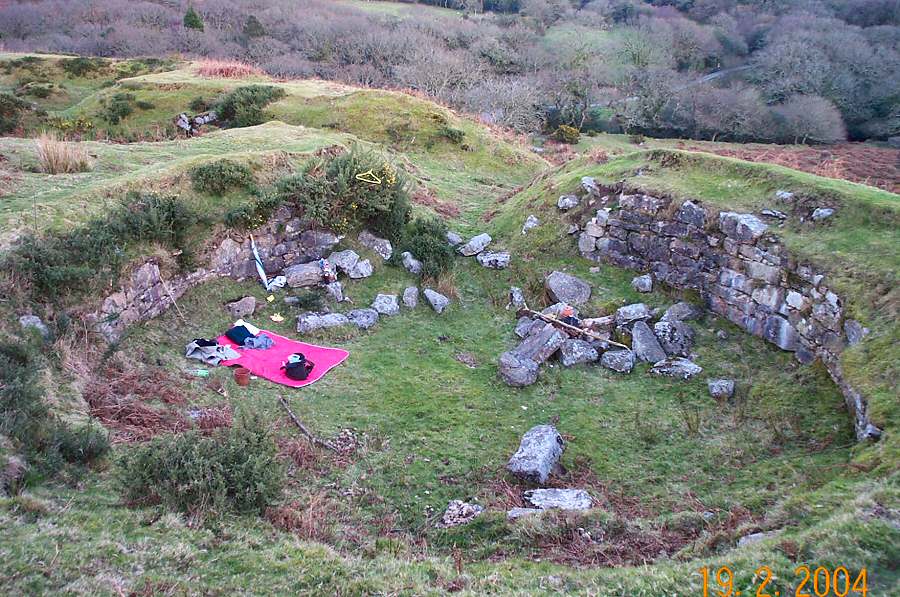
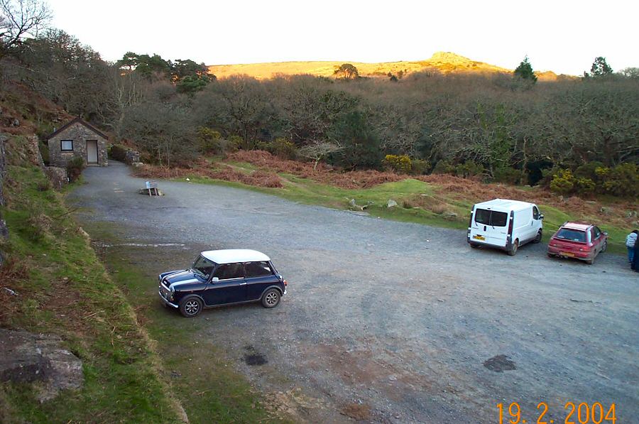
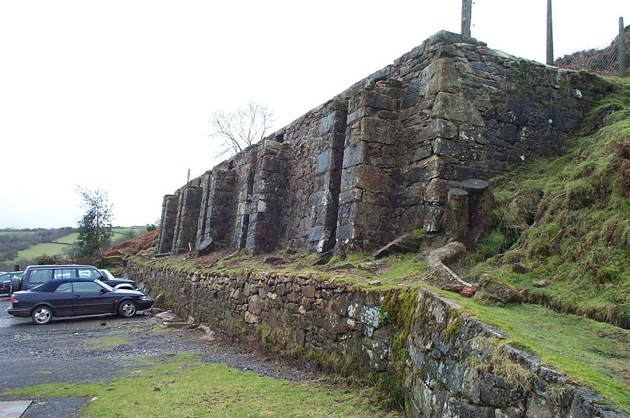
Uncle Ab's HouseUncle Ab's house is a non descript ruin that was used to stable horses for the Zeal Tor tramway that took peat from Redlake down to Shipley Bridge. The building predates the tramroad and was originally used to stable packhorses for the peat workings nearby. There's the remains of a paddock in front of the house. It's hidden away at the top of the Middle Brook valley just past the mound of tinner's rubble that is in Petre's Pit Bottom - which despite the name is actually towards the top of the valley. Notwithstanding the extensive remains of tin working, Middle Brook is a very pretty isolated valley with lots of character that in good weather is an ideal place to camp out at. This walk also includes 3 different Bronze age barrows - Knatta barrow, Western Whitebarrow and Eastern Whitebarrow - so you can begin to appreciate the prehistoric mindset that placed such importance on these hilltop monuments. Not far away lies yet another barrow - Three barrows - and it all begins to look like a competition as to who has the most impressive one. Eastern Whitebarrow wins by a clear margin.Park at Shipley Bridge (SX 681629) 3 miles north of the town of South Brent. Climb up the NW slopes above the filtration plant and once past then descend the slope down to the Bala Brook. Straight in front is the steep valley of Red Brook but bear right for a while and then cross over the Bala and ascend up the Middle Brook. remains of tin mining appear and at the top of the valley you'll come to Uncle Ab's house. Just up from here the terrain suddenly changes and you are on to fairly rough featureless terrain. You may need to set a compass course for Knatta barrow, and then take another (due north) from there for Western White Barrow. You'll come to the wet ground of Petre's Pits, cross over the dam and then you join the Zeal Tor tramway that takes you to Western Whitebarrow. Admire the views and then traverse the ridge eastwards to eastern Whitebarrow. More views to take in, then descend a little towards the Avon dam and contour around the hill passing Ryder's Rings as you go. In good visibility you can now easily make for Black Tor and then head SW to get back to the car park.This is a delightful walk (in good weather) of just over 6 miles. There's a bit of climbing up the Middle Brook and some rough ground between Uncle Ab's House, Knatta Barrow and Petre's Pit. Otherwise it is fairly straightforward, although at Western Whitebarrow you are on the edge of the southern wilderness. Poor weather would make parts of the walk rather challenging and miserable. No army ranges nearby.
|
|
All | Little | Shorter | Standard | Longer | Tors | Relics | History | Links | Panoramas | Home | |


