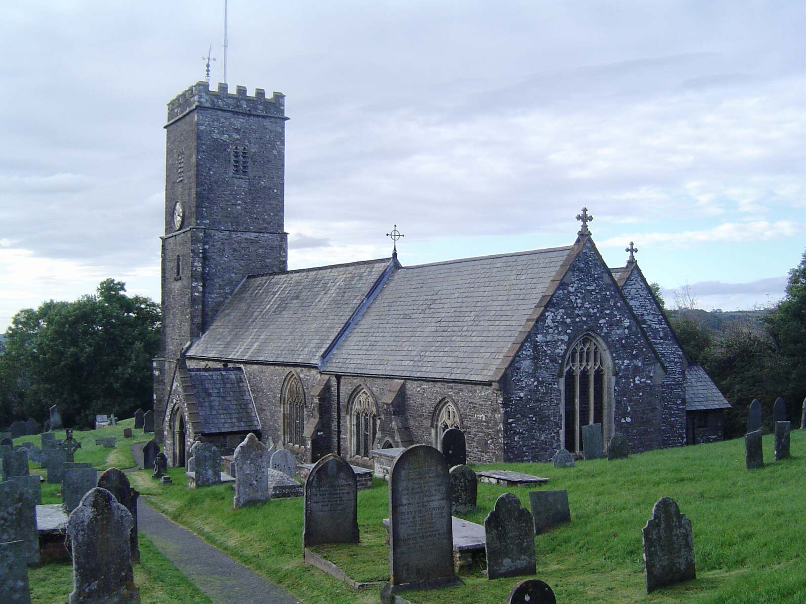
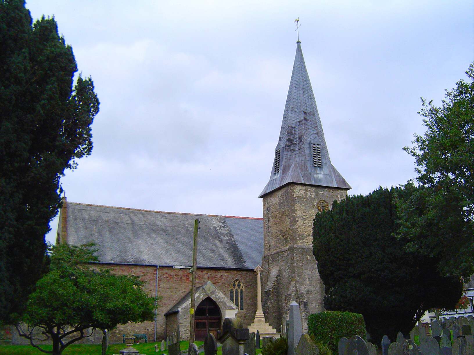
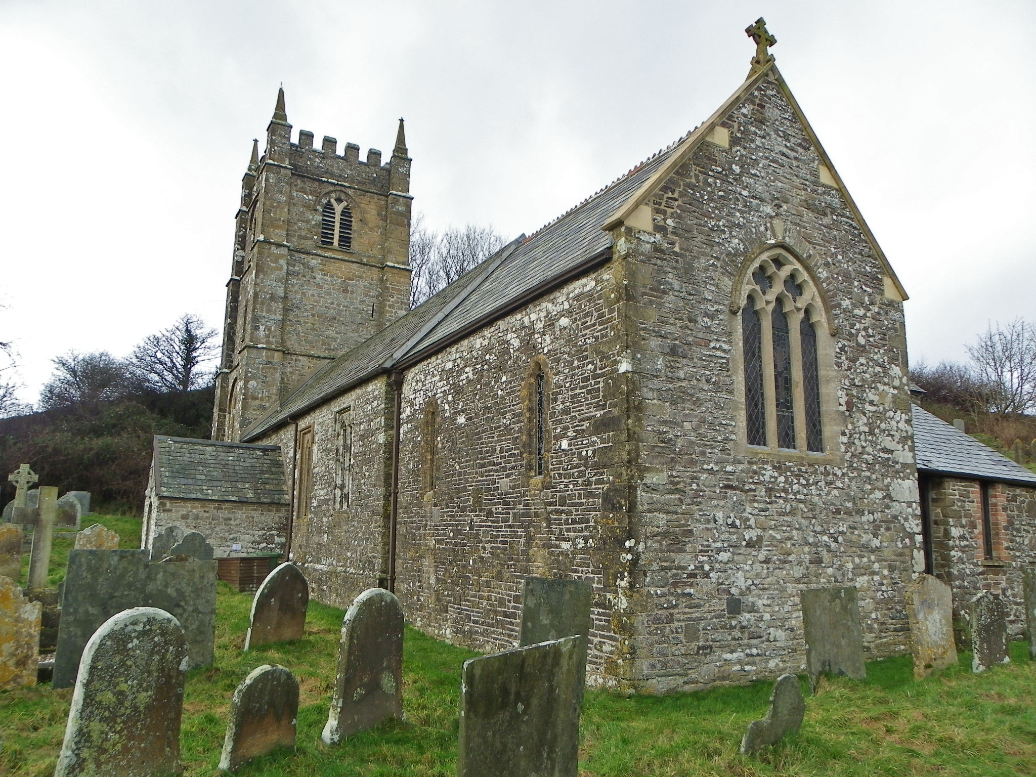
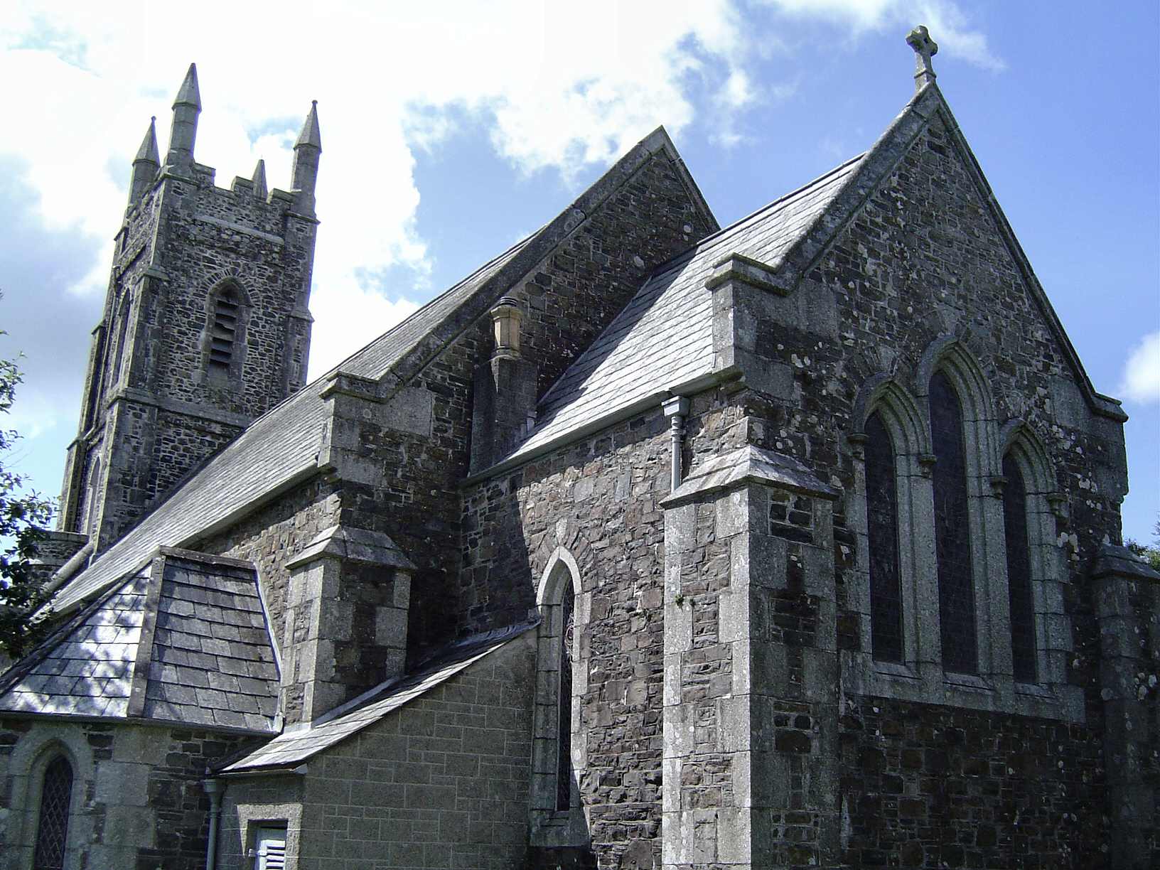
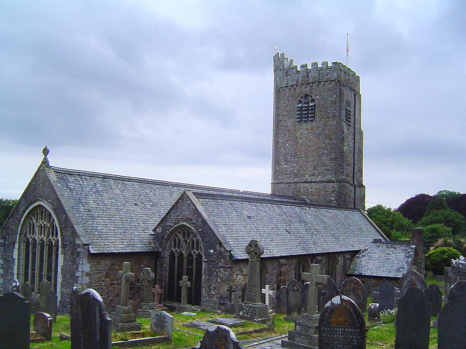
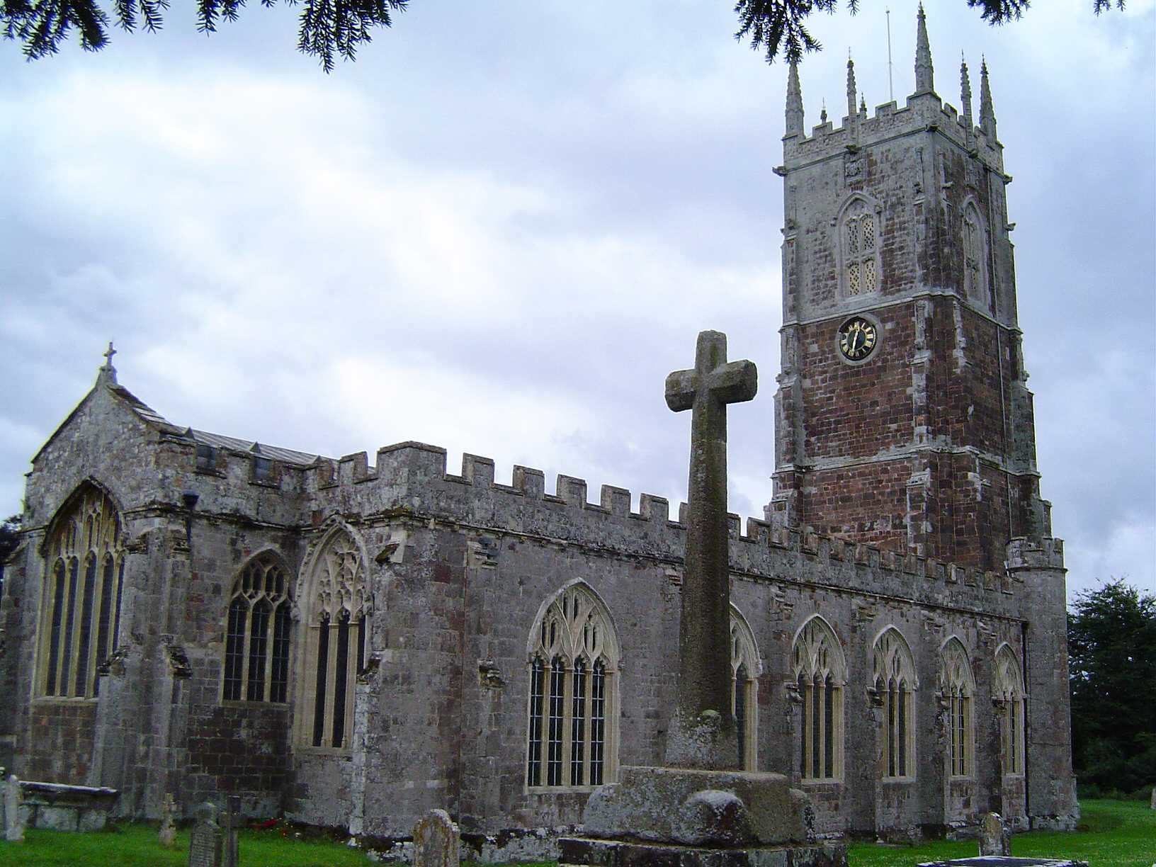
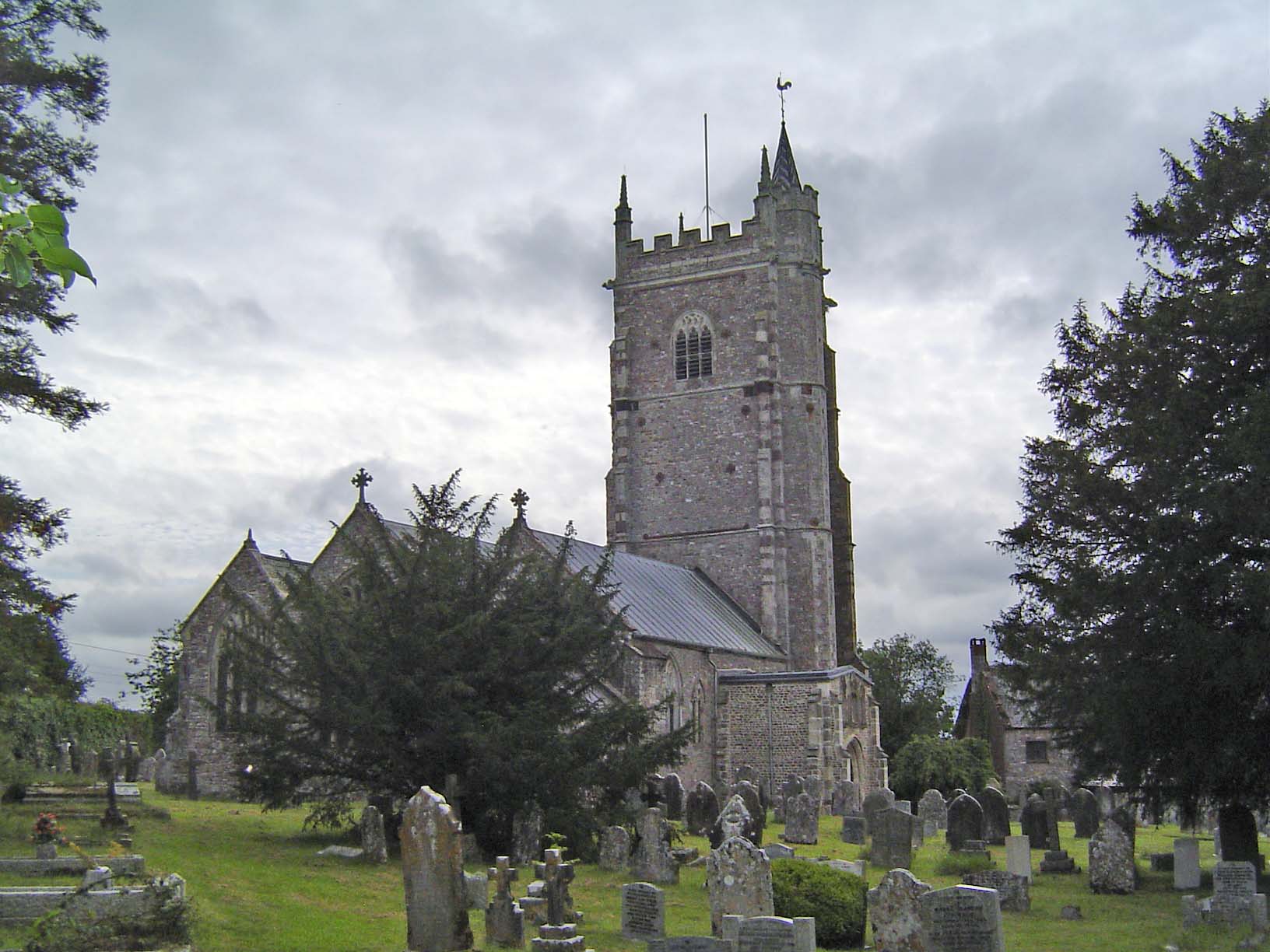
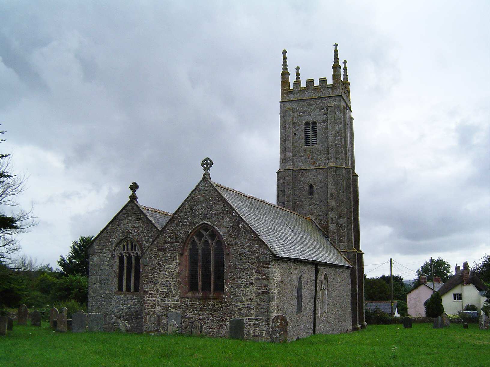
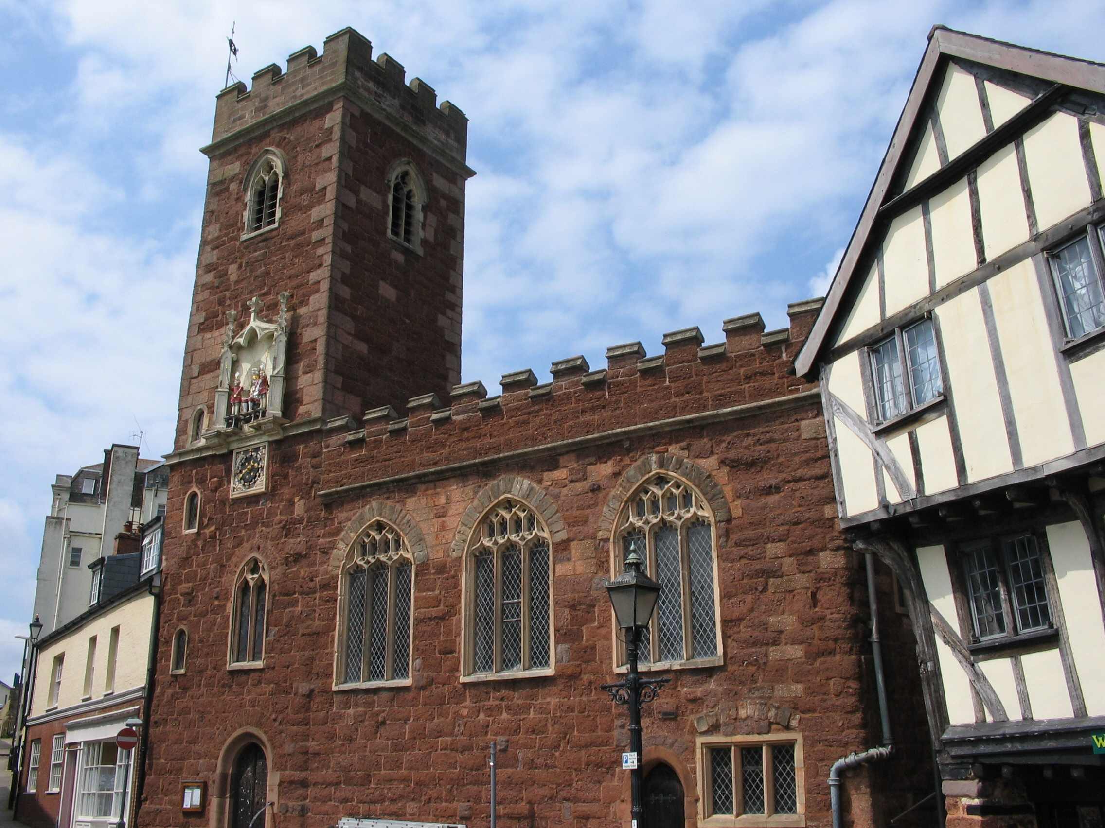
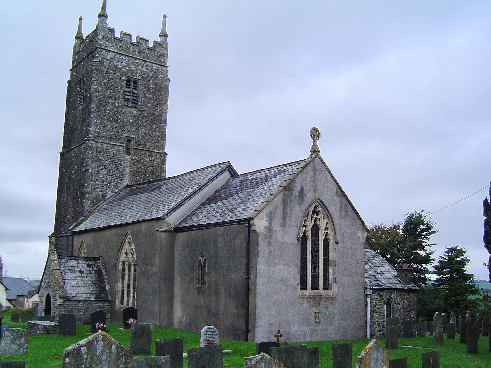
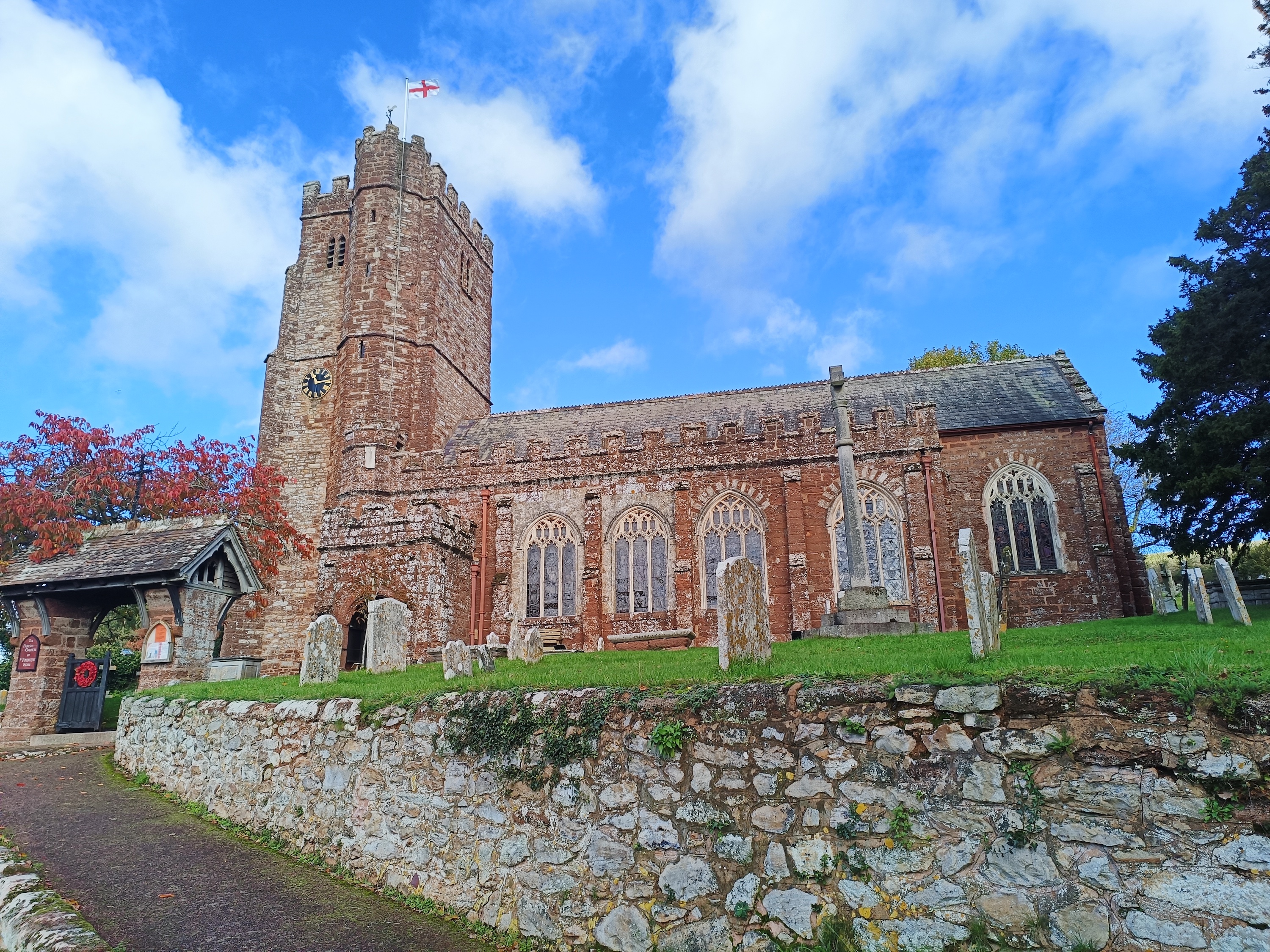
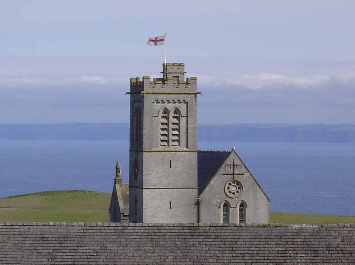
Home Search Browse Maps
Devon Parish Churches

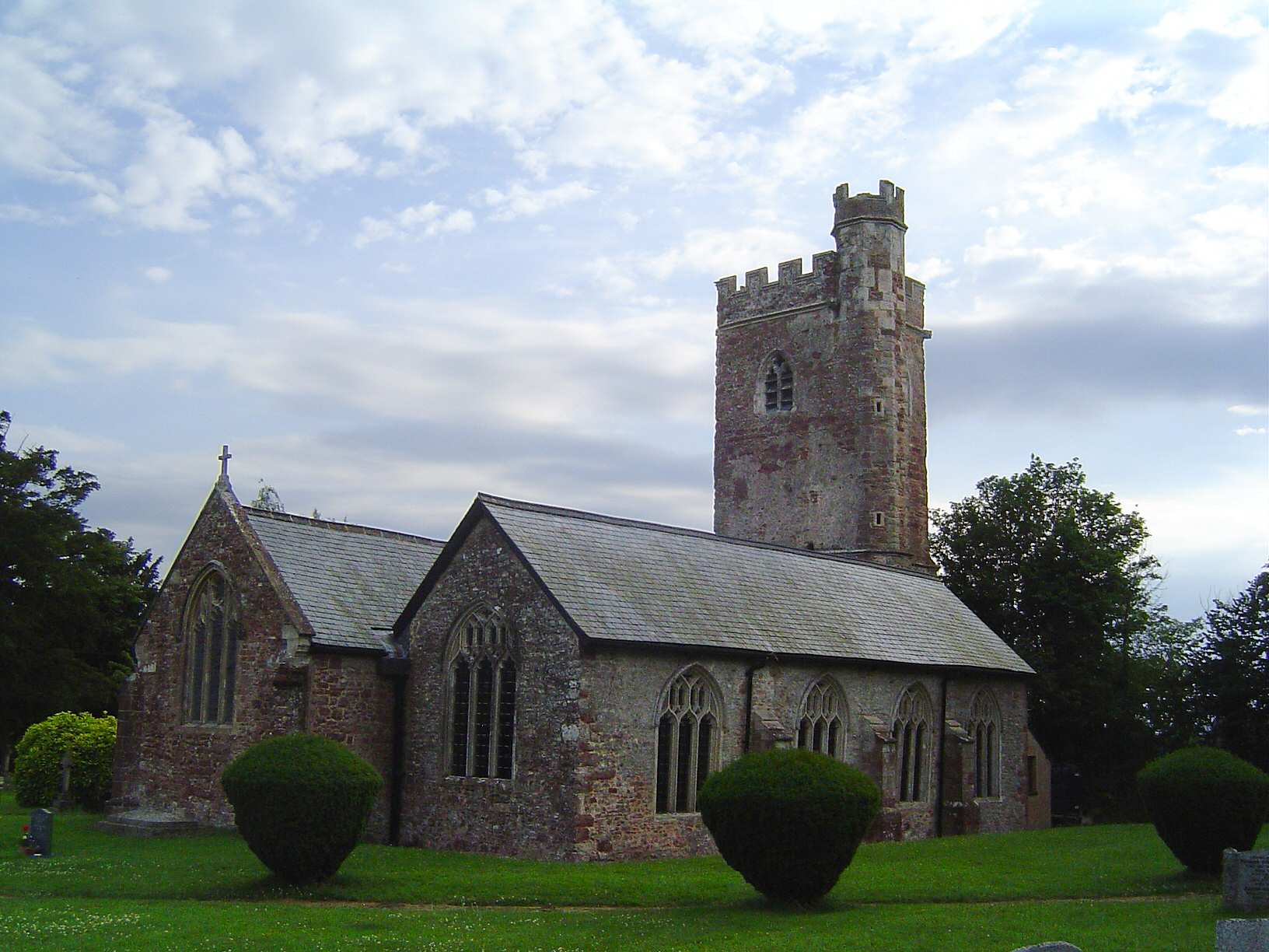
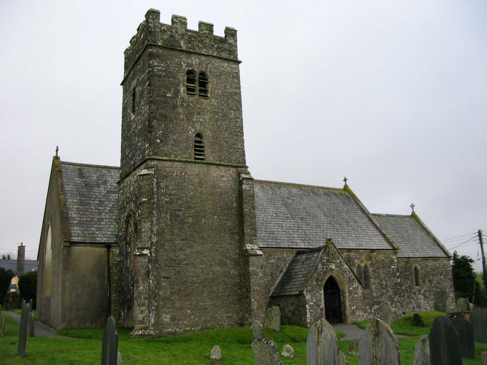
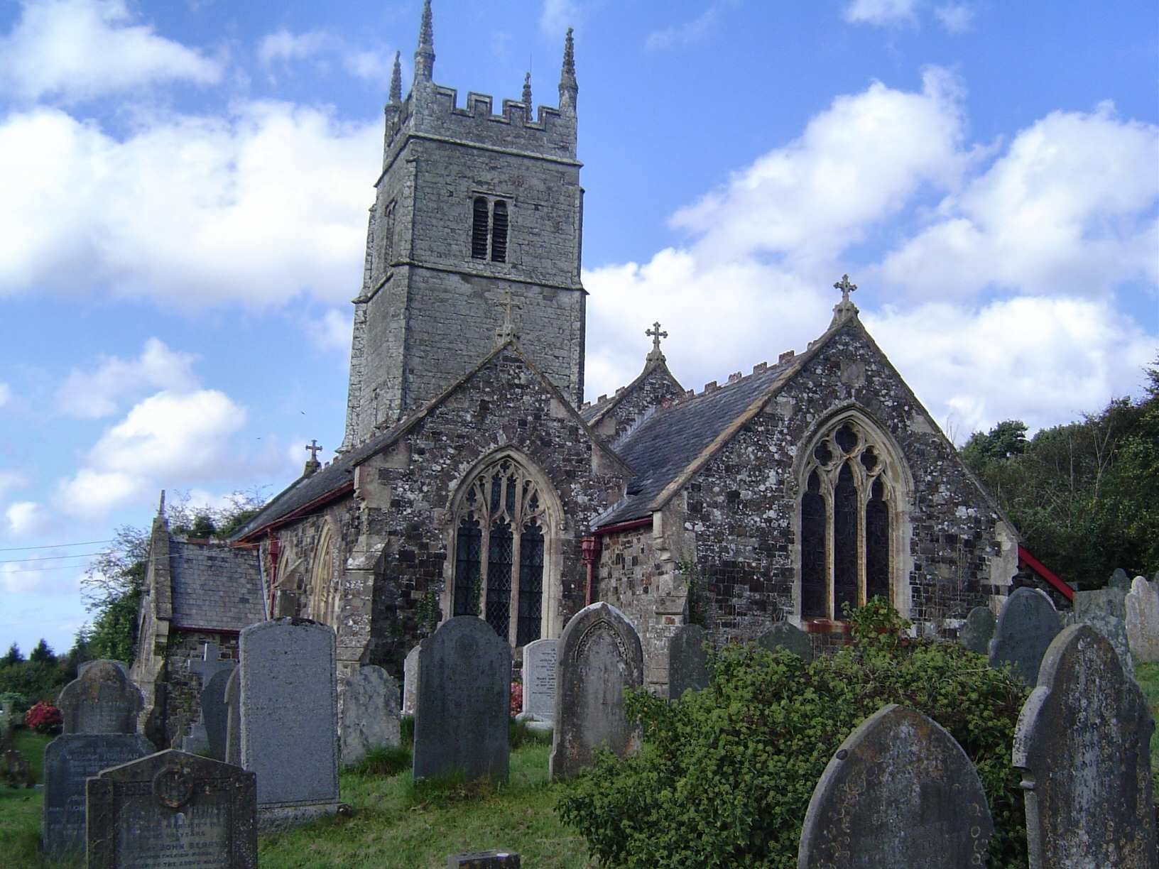
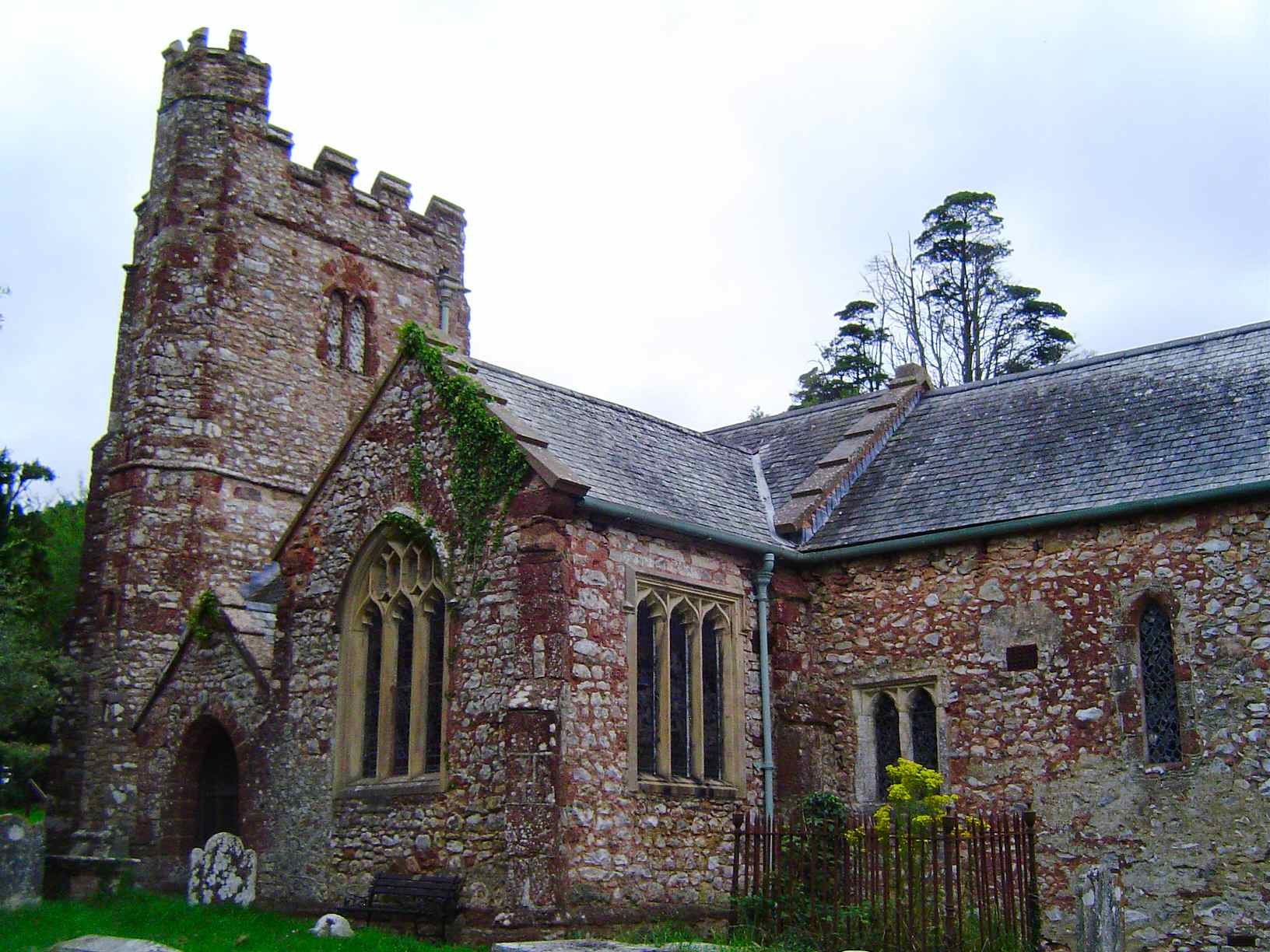
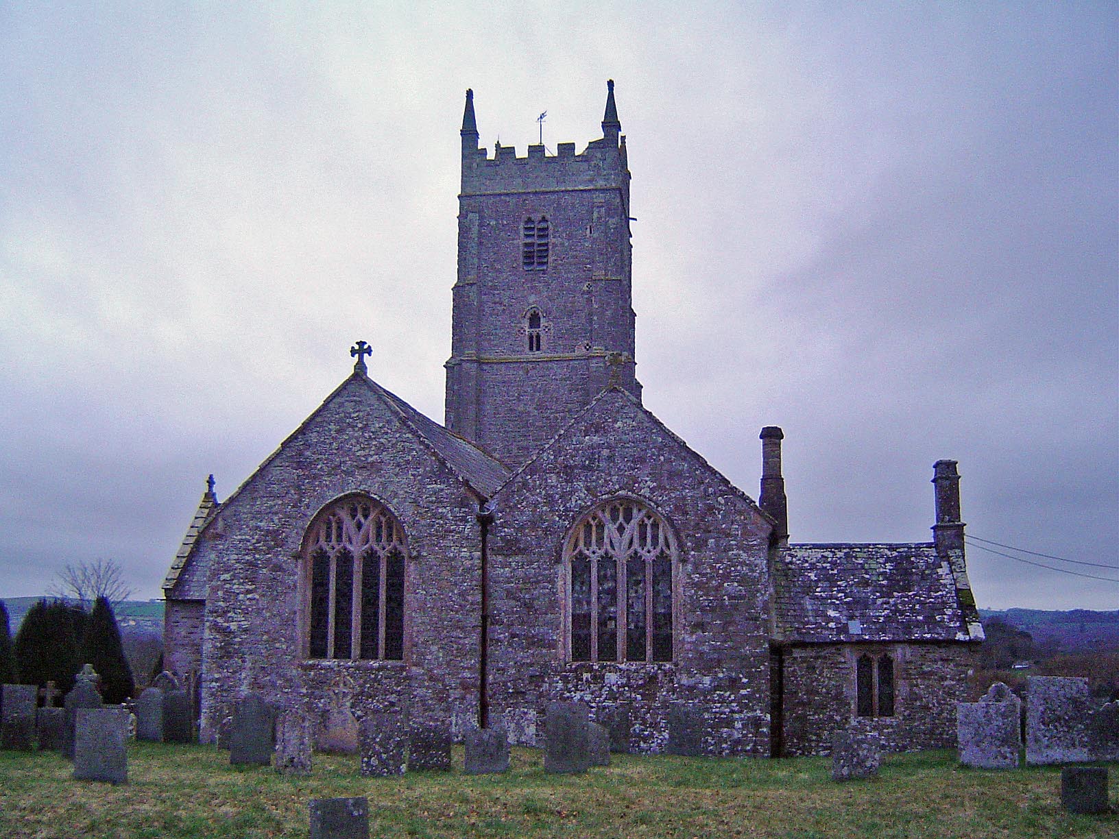
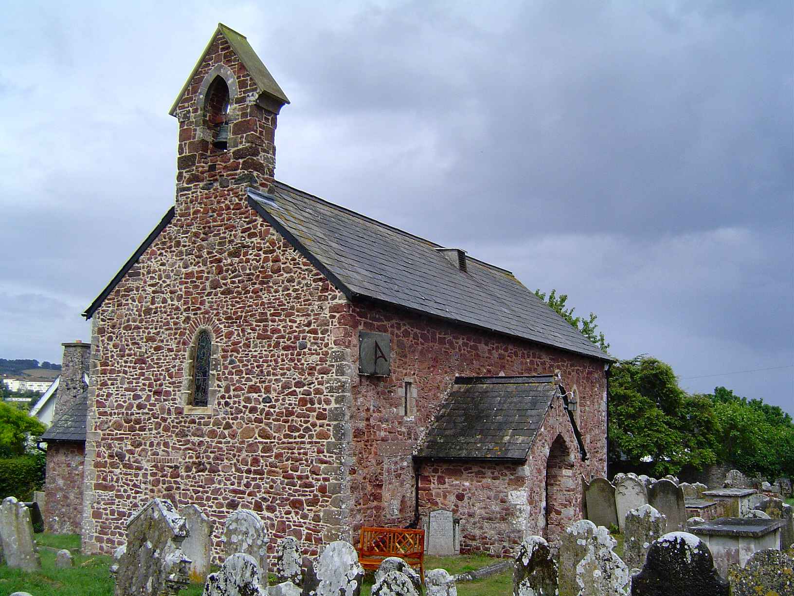
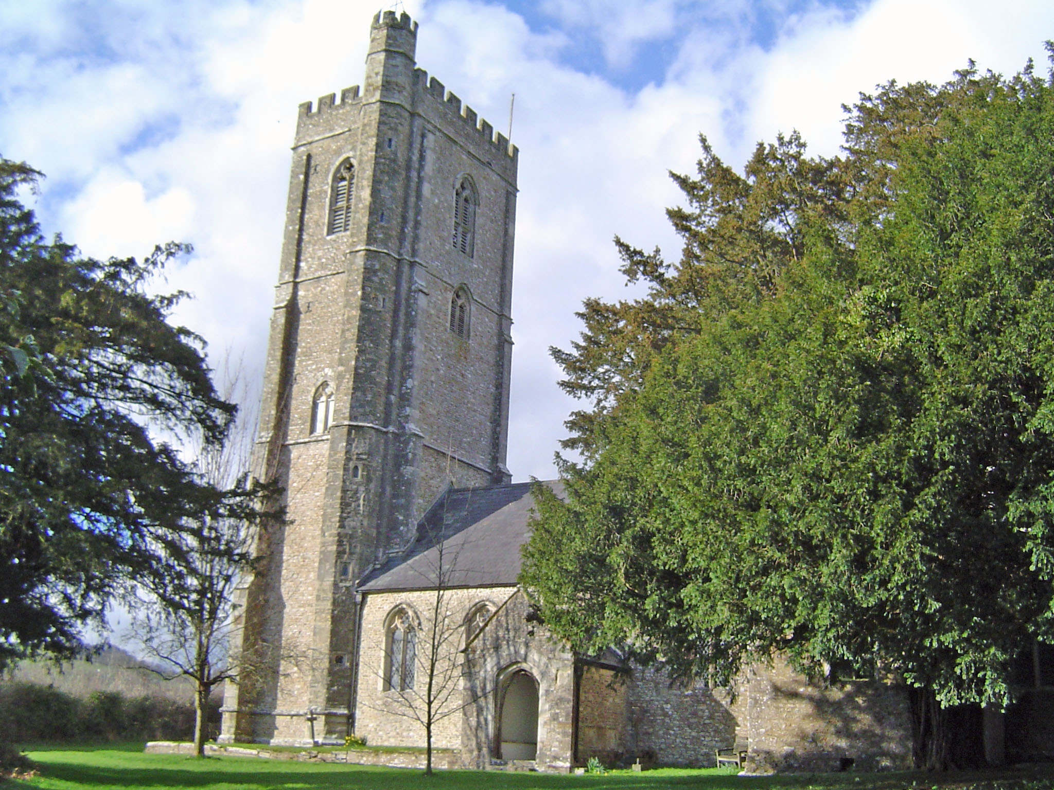
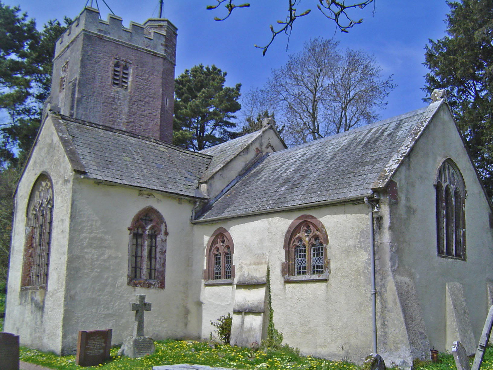
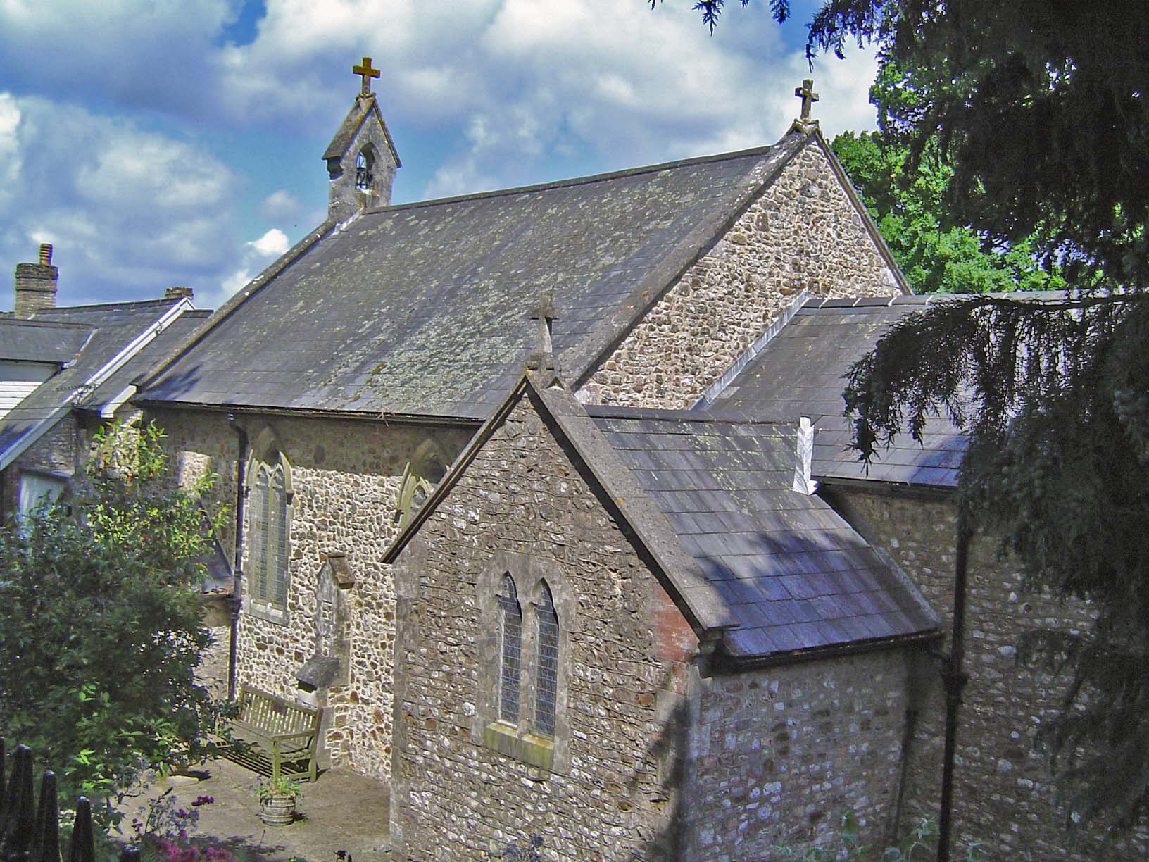
St James
Farm or settlement connected with Bica or Beocca. It was held by the abbots of Hartland Abbey.

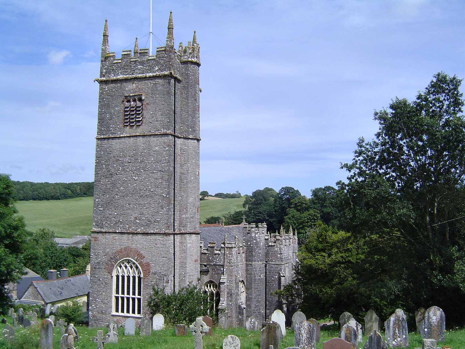
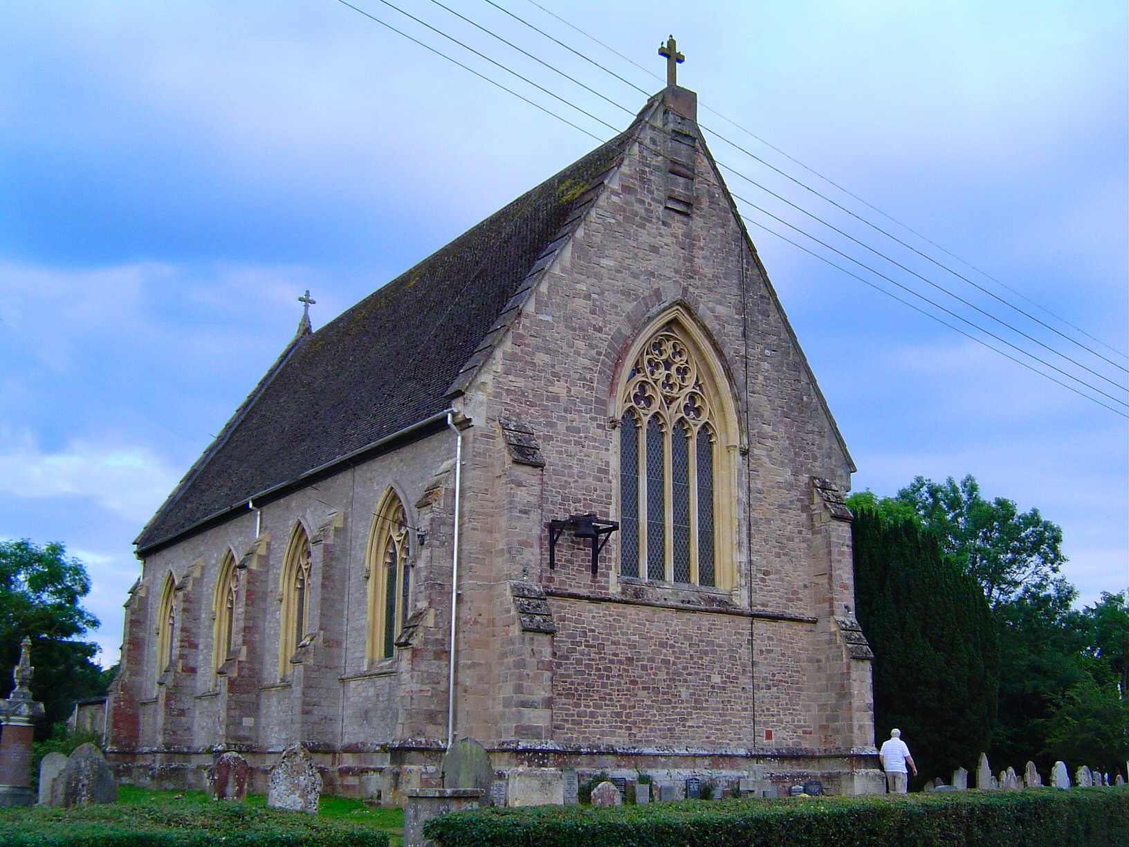
St Mary the Virgin
Fortified place owned by Torre Abbey
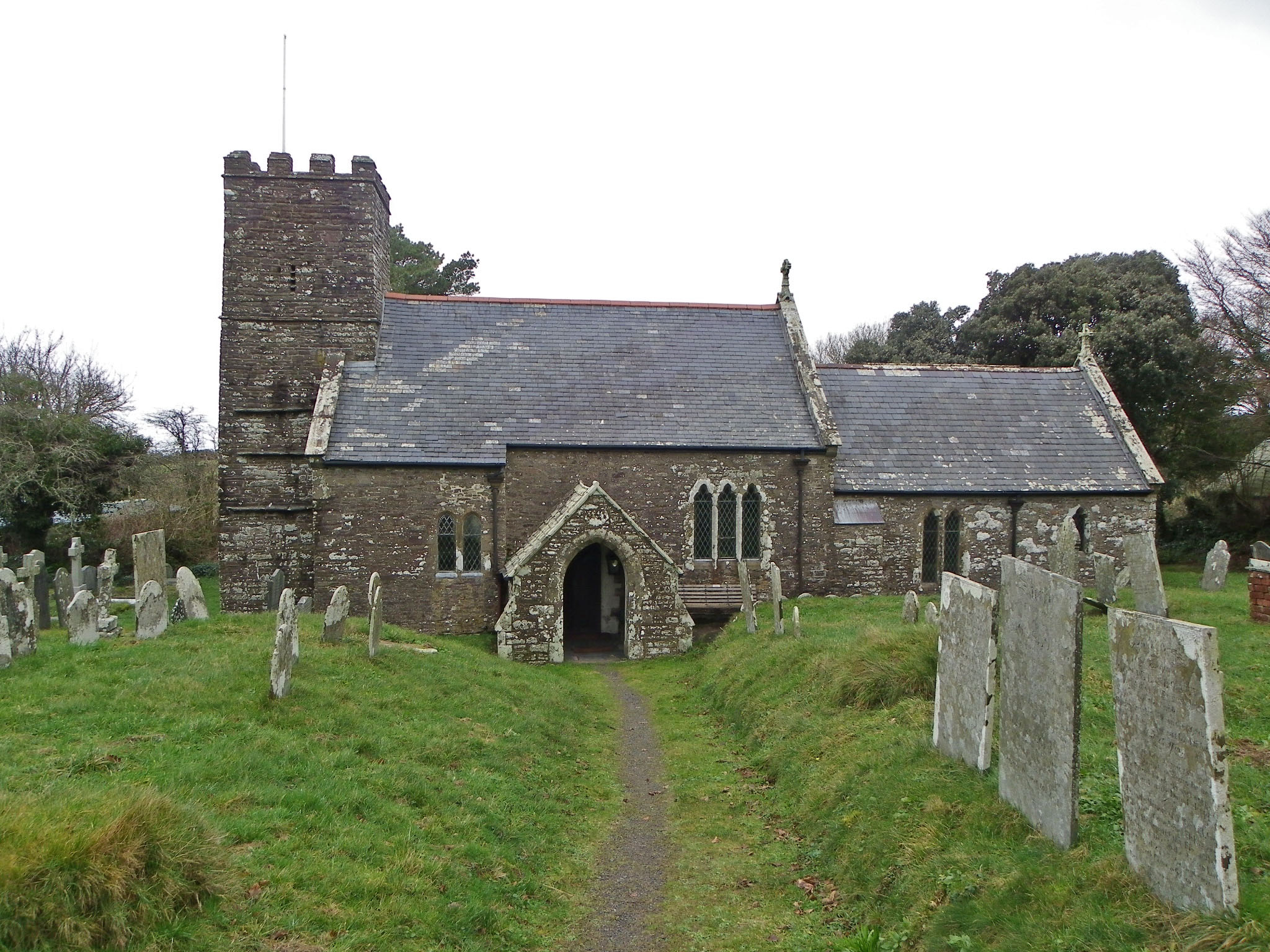
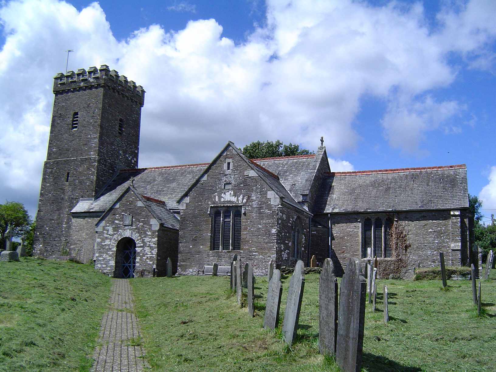
St Helen
Abbot's hemmed in land
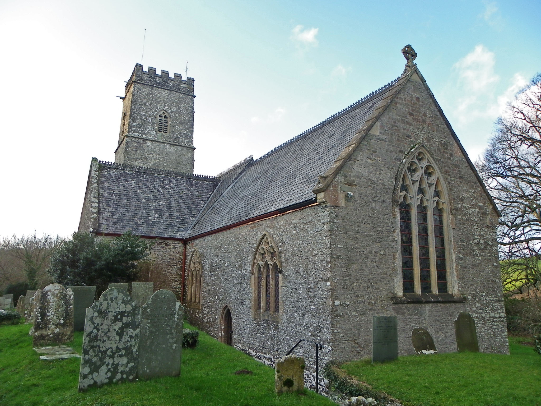
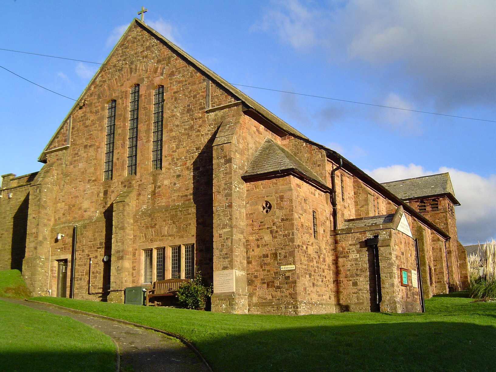
Blessed Virgin Mary
Abbot's spring where watercress grows

St James & St Clare
Aelf's settlement
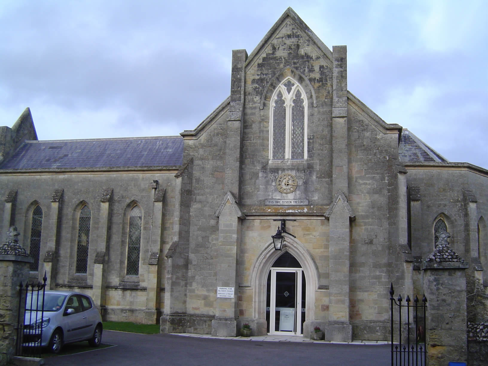
All Saints
Unknown
St Michael & All Angels
Farm or settlement connected with Aelf.
All Saints
Alfred's cot
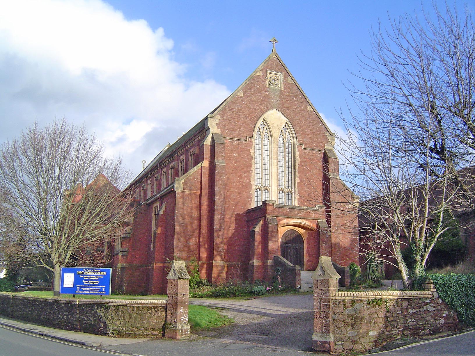
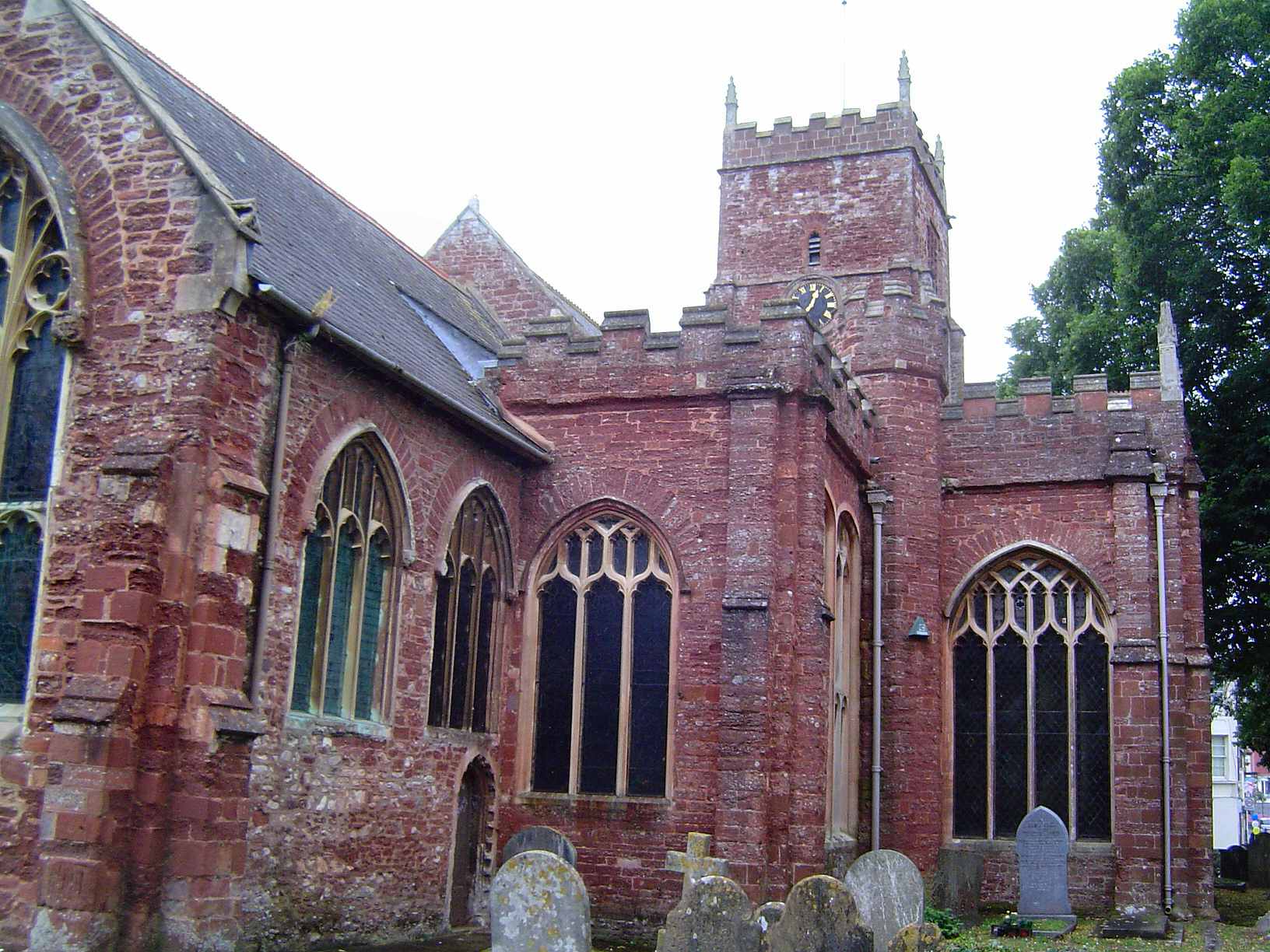
St Andrew
Probably Aelfwynn's farm or settlement - a feminine personal name.
St Mary
Apple tree
St James
Estate associated with Aelffrith
Ash Thomas Chapel
Place of ash trees
St Andrew
Farm by the brook where the ash trees grow
St Nectan
Ash-tree valley
St Peter
Ash-tree ford.
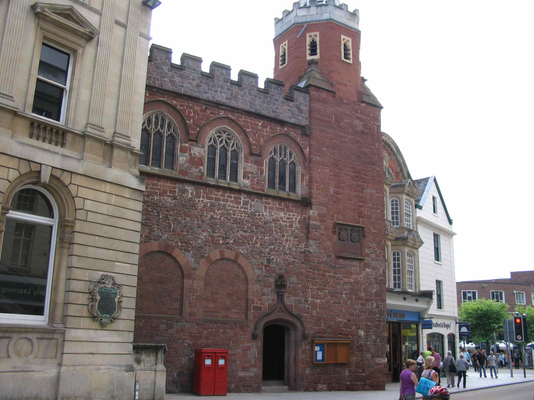
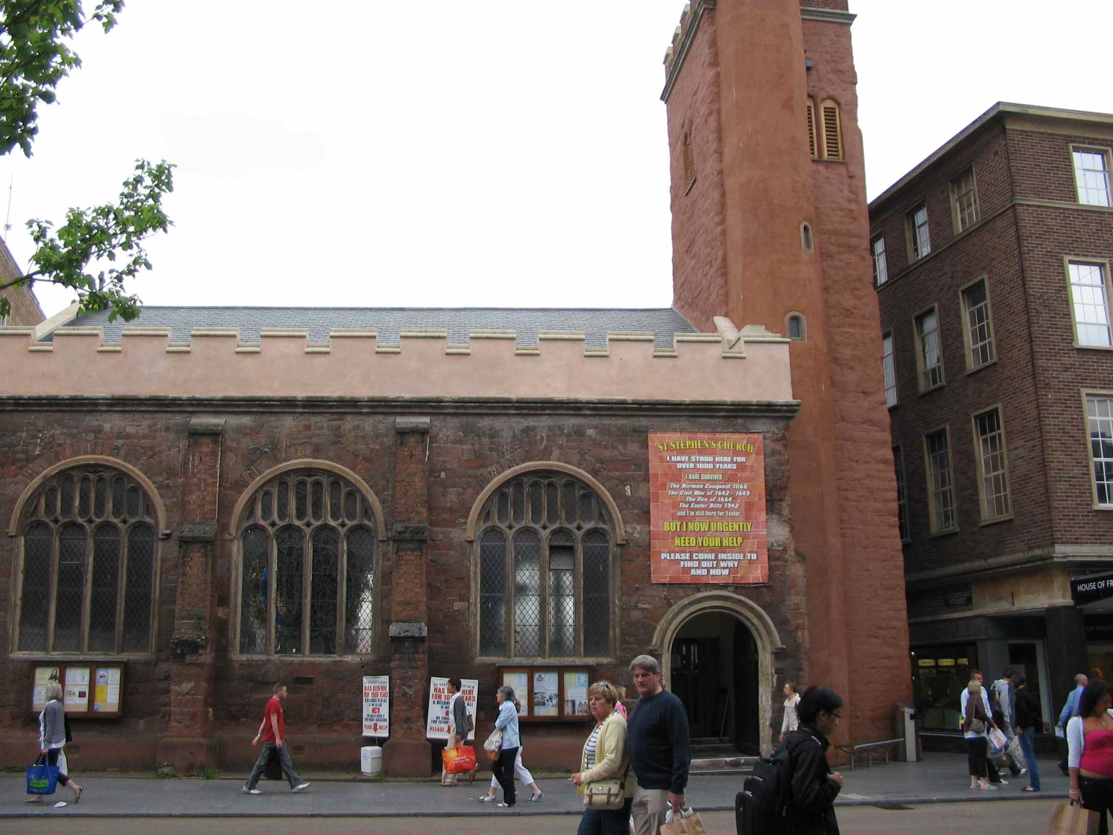
St Stephen
Hill of ash trees

St David
Farm of man called Aescbeorn

St James
Ash-tree with the later incorporation of the namce of the de Regny family who held land here in the 13th century.
St John the Baptist
Aeschere's farm or settlement.
St Peter ad Vincula
Ash-tree- with the incoporation of the personal name Walter - probably Walter de Doneheved who held the manor in 1270.

St Mary
Farm or settlement connected with Eadhere or Aethelhere.
St Andrew
Farmstead of the Giffard family beside the Avon
St James
Dairy farm beside the Avon
St Michael & All Angels
Fork valle - referring to a fork in the river about 2.5 km south of the village.

St Mary the Virgin
River Axe monastery.
St Michael
At the mouth of the river Axe
St Mary
Grove belonging to man called Aegel

All Saints
Combe belonging to Babba

St Michael & All Angels
Farm beside the hot spring
Holy Trinity
Probably battle-axe or Bearda's post; signifying the site of a religious or administrative meeting-place.

St Peter & St Mary Magdalene
Probably battle-axe or Bearda's post; signifying the site of a religious or administrative meeting-place.
Holy Trinity
Probably where a beacon was situated
All Saints
Gadfly ford
St Alban
Enclosure owned by the woman Beaga

St Michael
Grove
St Andrew
Beade's farm
St Mary
Bell shaped stone

Holy Trinity
Bere comes from the Celtic word for promontory
St Andrew
Grove belonging to the Ferrers family
St Mary
At the fortification. It was held by the de Pomerei family in 11th century
St Peter
The fortification of the Nerebert family
St Mary the Virgin
Farm connected with Beocca
St Cecilia
The clearing of the pointed ridge
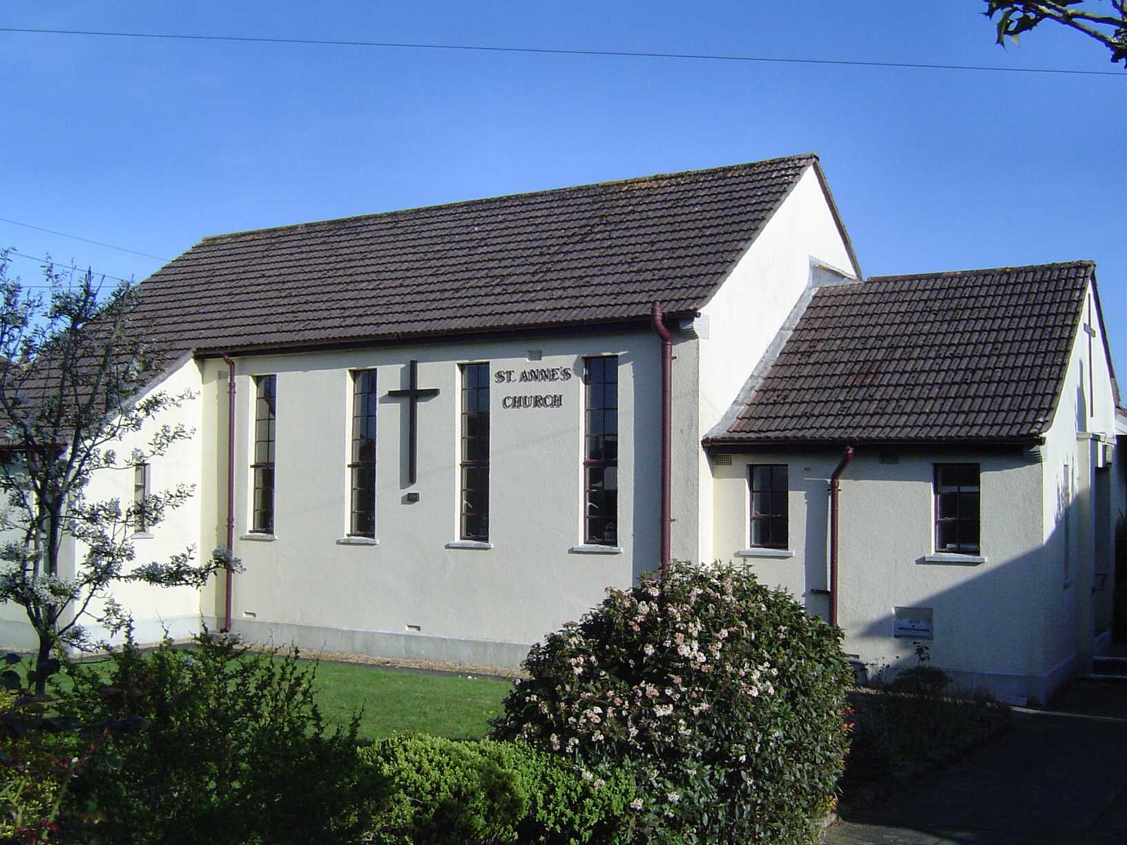
St Anne
The clearing of the pointed ridge
St Mary the Virgin
The clearing of the pointed ridge
St Mary
The clearing of the pointed ridge

St Mary
Beocca's farm or settlement.

St Mary
Beside the ford - Byda's ford
St Lawrence
Bica's fort
St Mary the Virgin
Settlement on the Nymet river held by the Bishops of Exeter
Herner Chapel
Farm or settlement on the Taw
St John the Baptist
Farm or settlement on the Taw
St John the Baptist
Farmstead beside the Teign of the Bishop of Exeter
St Peter
Bitta's or Beota's valley.
St Mary
Dark water settlement beside the Torridge
St Michael
Farm belonging to Afa
St James
Bola's wood or clearing or perhaps Bola's island
St John
River land held by the Tracey family
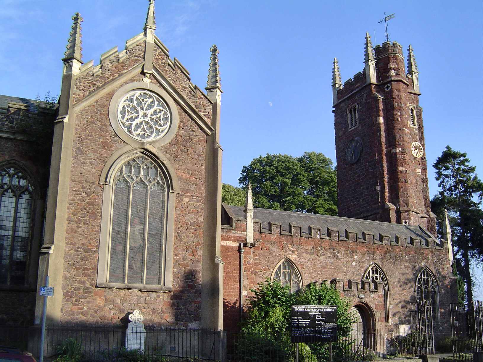
St Thomas a Becket
River land held by the Tracey family

St Catherine
River land held by the Tracey family

St Bartholomew
The bow - referring to an arched bridge which once crossed the River Yeo here. The earlier name of the place was Nymet; which was probably also the name of the river
All Saints
The broad field
All Saints
Broad ford

St Disen
At the broad ash
St Nonna
At the broad stone.

St John the Baptist
Broad enclosure
St Peter
Apparently broom ford. However evidence shows that the first element was Brente - an element of obscure origins and meaning. It was held by Richard de Espec ca. 1170.
St Winifred
Branoc's Valley
St Mary the Virgin
Farm of newly broken land
St Peter
Farm held by Baldwin le Fleming in 1242
St Brannock
Farm where broom grows

Saunton St Anne
Farm where broom grows
St Brendan
Broom hill
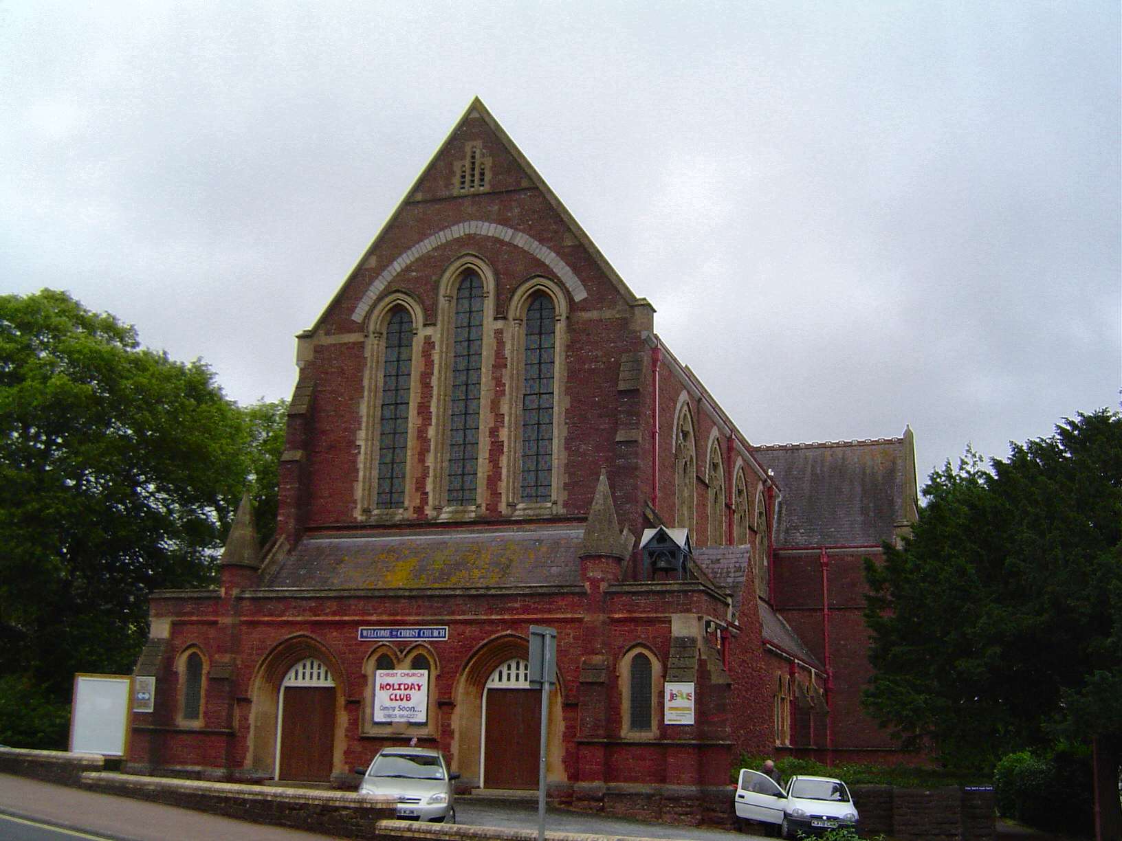
Christ Church
Rocky steep hill
St Michael de Rupe
Rocky steep hill
St Bridget
Holy place of St Bridget
St Thomas Beckett
Ford suitable for brides - ie. Easy to cross
St Bridget
Ruald's bridge. Roald Adobed was the tenant in 1086.

St John the Evangelist
Settlement across the bridge.

St Mary the Virgin
Brioc's enclosure
St Mary
Brioc's farm
St John the Baptist
Farm on the river Clyst
St Andrew Apostle & Martyr
Great high fort

St Peter & St Paul
Farm originally belonging to Haeme and then to Ralph Borhard
All Hallows
Broad wood. It was held by the de Kelly family in the 13th century.

St Nicholas
Big wood belonging to the Wyger family
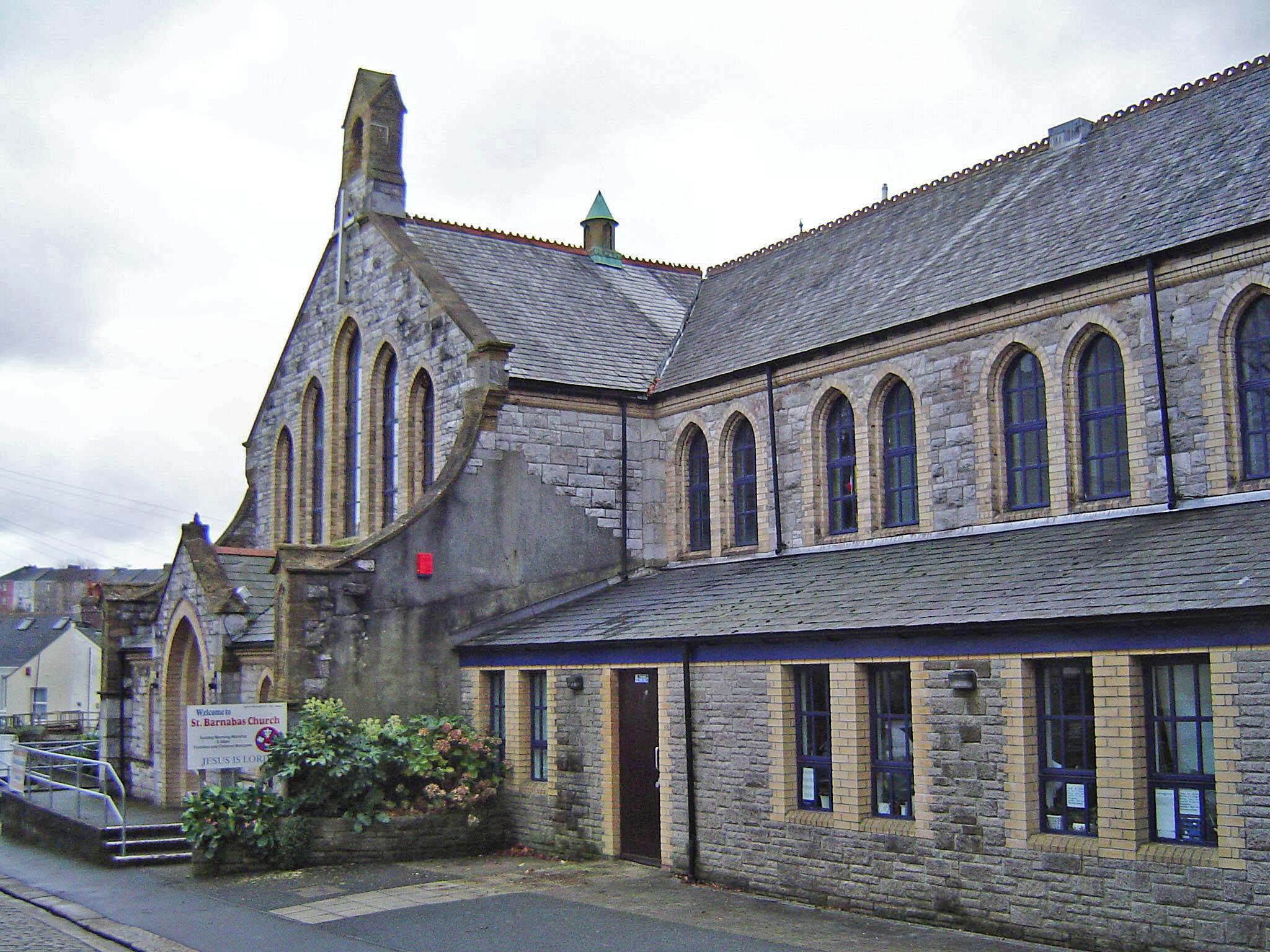
St Barnabas
Unknown
St Mary the Virgin
Bridge ford.

St Mary & St Giles
Obscure.

Holy Trinity
A woodland clearing for male deer
St Luke
A woodland clearing for male deer
St Mary & St Benedict
Was owned by the Briwerre family in 13th century
St Mary & Holy Trinity
Held by the de Fyleleye family in 13th century
St Peter
Granted land close to the moor
St Andrew
Land granted to the monks of Buckland Abbey
St Peter
Associated with the Tuz Seinz family in 1238
St Anne
Land granted by royal charter (Anglo Saxon)
St Peter
The salt worker's farm within Budda's clearing
St Michael
Perhaps Bulca's enclosure or bullocks enclosure. Alternatively the first element could be OE bulca - heap or lump used topographically of the hill on which Bulkworthy stands.
St Mary the Virgin
Burgweald's valley.

Holy Trinity
farm or settlement connected with Beorn.

St Matthew
Butter meadow
St Michael & All Angels
Cada's fortification
St Bartholomew
Cada's wood or clearing.
St Mary the Virgin
Bare wood clearing

St Michael the Archangel
Ford where gorse grows
Holy Trinity
Cold valley
St Andrew
Chard's outlying farm or settlement.
St John the Baptist
Probably chief's hall on the rock
St James
Calves clearing

St Mary
Ceadela's hill
St Matthew
Unknown

St Peter
Unknown

St Mary
Church farm owned by bishops of Exeter
St Matthew
Settlement by the church - held by the Fitz Payn family in 13th century
St Thomas
Cifa's thorntree.
St John the Baptist
Wood of the dwellers in the valley
St Hieritha
Farm in the hollow
St Sylvester
Ceofel's farm or settlement

St James
St Christina's holy place

St Martin & St Mary
Clearing in a hollow
St Paul
Farmstead of the young retainers
St Mary Magdalene
Ceolmund's clearing
St Mary the Virgin
Holy place with a church
St Mary the Virgin
Church farm held by Hugh de Ferreris in 1303
St Petrock
Cleft hill
St Leonard
Claw farm or settlement; referring to a claw-shaped strip of land between the two streams on which the church sits.

St Peter
Clayey wooded slope.

St Andrew
Hay hill with the later addition of clay.
All Saints
Ravine near the hill resembling a wheel

St Peter
Ravine near the hill resembling a wheel
St Michael & All Angels
Settlement beside the river Clyst (meaning clear).

St Andrew
Area beside the Clyst held by the de Hidune family in 13th century
St George
Church beside the Clyst river
St Lawrence
Church beside the Clyst river
St Mary
Church beside the Clyst river
St George & St Mary
Estate associated with Cocca
St Bartholomew
Spring of the Coffin family

St Mary
Unknown
St John the Baptist
Settlement beside the Coly owned by the Ralegh family

St Matthew
Charcoal ridge.
St Andrew
Cool brook or perhaps Cola's brook
St Mary the Virgin
Unknown

St Michael
Ford over the Coly
St Andrew
Farm beside the Coly
St Peter ad Vincola
Valley held by Robert son of Martin in 1133
St Nicholas
Valley held by the Ralegh family

All Saints
Valley estate of ten hides
St Mary the Virgin
Valley with the later incorporation of the Pyne family name - who held the manor by the 13th century.

St John the Baptist & the Sexen Maccabees
Cuca's fortification
St Michael & All Angels
Heron's or crane's wood
St Peter
Enclosure of corn
St Andrew
Probably River Cori farm or settlement an old name for the River Lyd.
St Michael
Cotta's woodland clearing
St Luke
Named after Isabella de Fortibus who constructed a weir across the Exe in 1286

St John the Evangelist
Fortified place at Cunet's hill
St Anthony
Cufa's leah - clearing or meadow.
Holy Cross
Farm beside the Creedy river
St Lawrence Chapel
Farm beside the Creedy river
The Church of the Ascension
Victorian name
St Mary Magdalene
Headland or cradle
Holy Cross
Great wood held by the Morchard family
St Andrew
Farm beside the Culm
St Mary's Chapel
Davy's valley - David de Wydeworth in 1242

All Saints
Outlying farm beside the Culm

St Peter
Valley wood
St Mary the Virgin
Farm on river Dart
St Petrox
Mouth of the Dart
St Saviour
Mouth of the Dart

St Clement
Mouth of the Dart
St Gregory the Great
Dark stream - black water

St George the Martyr
Valley held by Plympton priory
St Mary the Virgin
Fortification of the Devonians
St Aubyn
Earlier known as Plymouth Dock the name was changed to Devonport in 1824.
St Barnabas
Earlier known as Plymouth Dock the name was changed to Devonport in 1824.

St Bartholomew
Earlier known as Plymouth Dock the name was changed to Devonport in 1824.
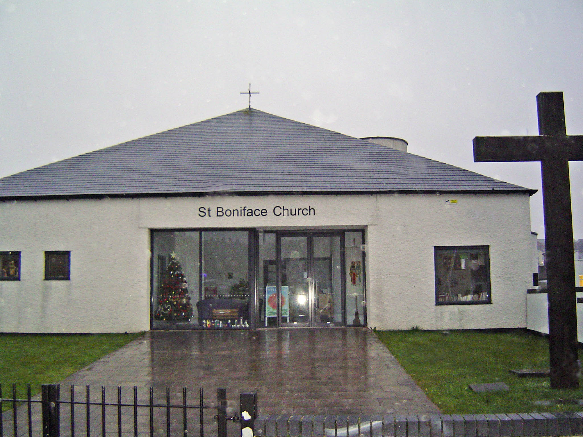
St Boniface
Earlier known as Plymouth Dock the name was changed to Devonport in 1824.
St Budeaux
St Budeaux originally meant St Budoc's hide - a Celtic dedication
St Mark Ford
Earlier known as Plymouth Dock the name was changed to Devonport in 1824.
St Michael
Earlier known as Plymouth Dock the name was changed to Devonport in 1824.
St Mary
Deep ford

St George
Dyddi's village

St Thomas of Canterbury
Dodda's brook
St Michael
Woodland clearing held by Doddescumb family
St Edmund
Possibly Duffield (dove open land) farm or settlement or perhaps black farm or settlement
St Peter
Possibly Duffield (dove open land) farm or settlement or perhaps black farm or settlement

St Mary the Virgin
Hill. The church is dedicated to St. Mary.
Holy Trinity
Drew's farm beside the Teign
St Michael & All Angels
Wooded fortification (old British)
St Nicholas
Hedge sparrow stream
Holy Trinity
Hedge sparrow stream
St Mary
Dun's ford

All Saints
Perhaps fort-village to which was later added OE farm or settlement.
St Andrew
Farm or settlement connected with Aella or Aelle. East for distinction from South Allington.
St Michael
Steep narrow footpath
St Michael
Unknown
All Saints
Budda's clearing
St John the Baptist
Unknown - probably stating the obvious
St Winwaloe Onocaus
Mouth of the harbour stream
St Michael the Archangel
Mouth of the Teign
St Mary
Wulfred's farm.

St Paul
Ford passable at ebb tide
St Edward the Martyr
Heca's charter land
All Saints
Probably Eegen's or Eccen's ford
St Matthew
Probably the farm of Aepelbeorht
Christ Church
Valley of the elder trees

St Peter & St Paul
Farm beside the Erme river

St Aidan
Eagle's seat

St Philip & St James
East cottage
Christ Church
An allowance of wood for repairs, firewood and fencing.
St Mary Blessed Virgin
Cuckoo stream

Emmanuel
Fortified settlement beside the Exe (Exe chester - camp of soldiers)

St Andrew
Fortified settlement beside the Exe (Exe chester - camp of soldiers)
St David
Fortified settlement beside the Exe (Exe chester - camp of soldiers)
St James
Fortified settlement beside the Exe (Exe chester - camp of soldiers)
St Leonard
Fortified settlement beside the Exe (Exe chester - camp of soldiers)

St Mark
Fortified settlement beside the Exe (Exe chester - camp of soldiers)
St Martin
Fortified settlement beside the Exe (Exe chester - camp of soldiers)
St Mary Steps
Fortified settlement beside the Exe (Exe chester - camp of soldiers)
St Matthew
Fortified settlement beside the Exe (Exe chester - camp of soldiers)
St Michael and All Angels Mount Dinham
Fortified settlement beside the Exe (Exe chester - camp of soldiers)
St Sidwell
Fortified settlement beside the Exe (Exe chester - camp of soldiers)
St Thomas the Apostle
Fortified settlement beside the Exe (Exe chester - camp of soldiers)
Trinity St Leonard
Fortified settlement beside the Exe (Exe chester - camp of soldiers)
St Mary Arches
Fortified settlement beside the Exe (Exe chester - camp of soldiers)

St Olave
Fortified settlement beside the Exe (Exe chester - camp of soldiers)
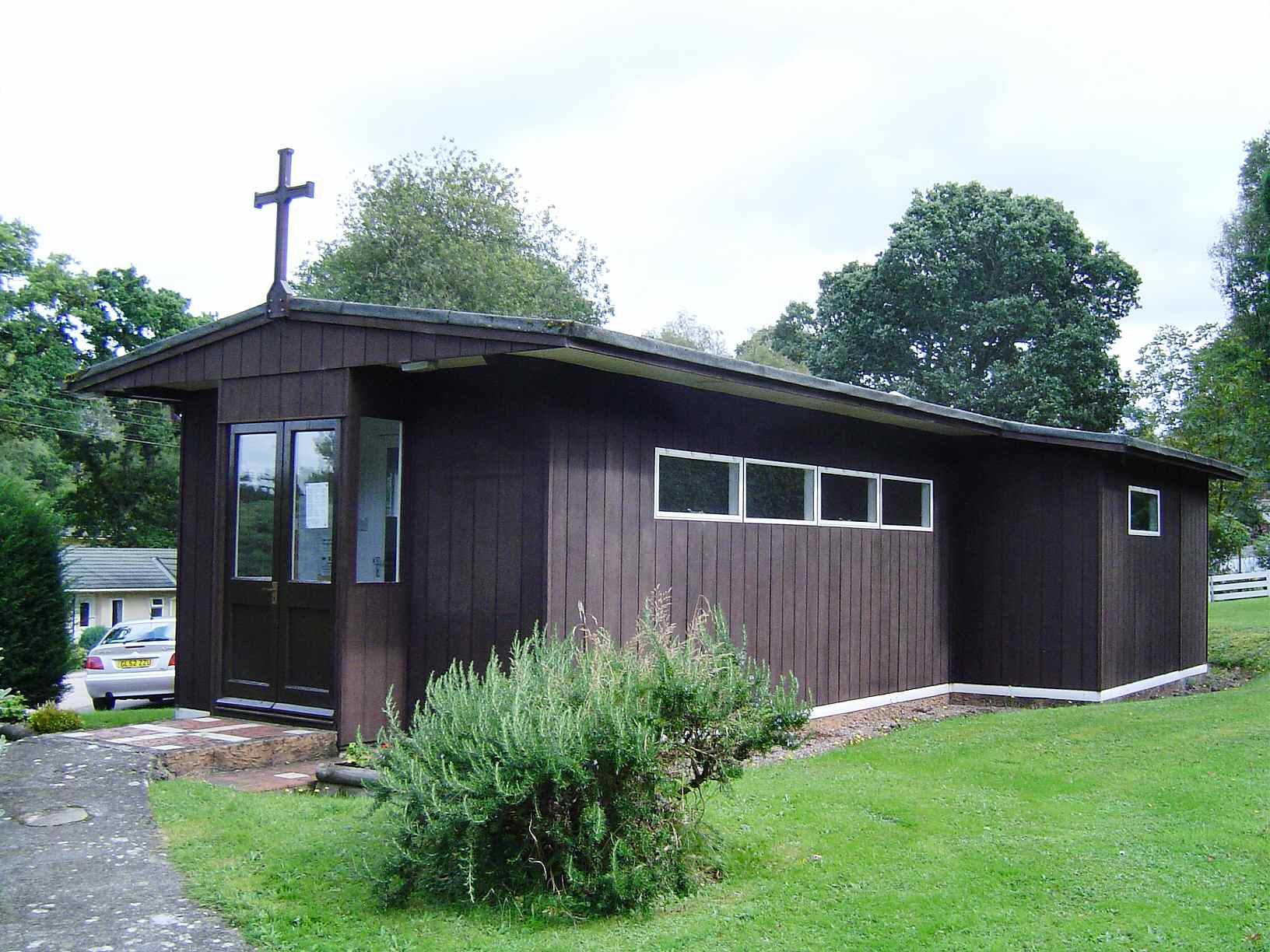
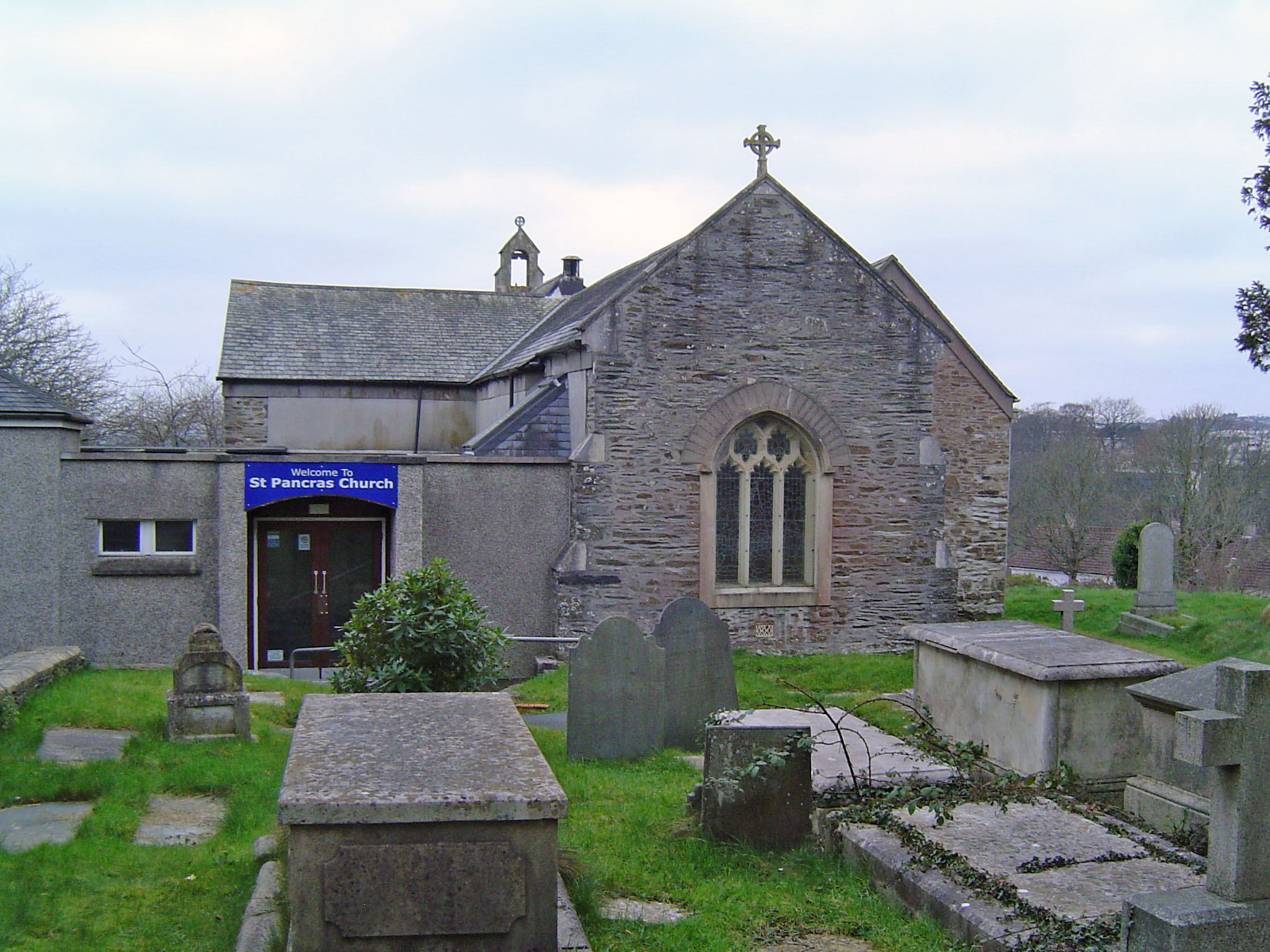
St Pancras
Fortified settlement beside the Exe (Exe chester - camp of soldiers)
St Petrock
Fortified settlement beside the Exe (Exe chester - camp of soldiers)
St Stephen
Fortified settlement beside the Exe (Exe chester - camp of soldiers)
St Martin of Tours
Large church beside the Exe
Holy Trinity
Mouth of the Exe
St Andrew
Enclosure beside the Exe
St Andrew
Specialised farm beside the Exe
St Petrock & St Barnabas
Fern hill
St Michael & All Angels
Uncertain. Roadway although the exact meaning of the compund faer-weg is uncertain. Alternatively dangerous or difficult road.
St Andrew
Farm beside the Vine stream
St Paul
Hay wood or clearing.
St Peter
Farm of Fremma
St Mary & St Gregory
Frithulack's settlement
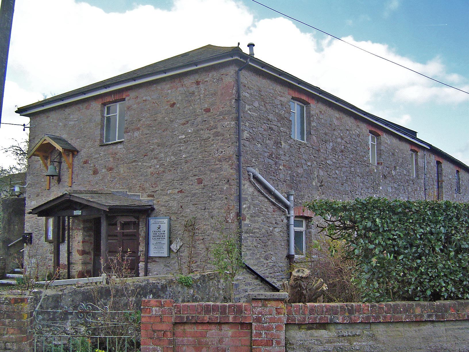
Chapel of the Good Shepherd
Farm of rent paying peasants
Holy Trinity
Farm of rent paying peasants
St George
Hemmed in land of St George
St German
Specialised farm of St German

Holy Trinity
Gydda's clearing

St Michael
Gyddi's homestead
St Gregory
Goda's woodland clearing

St George
Godhere's estate

St Michael
Big settlement beside the Torridge
St Paul
St Blaise
Either hatch valley or referring to a forest gate or a sluice-gate in a river or perhaps Hacca's valley or hook valley.
St Andrew
Possibly hazel grove farm or settlement or perhaps Haligbeorht's farm or settlement.
St Leonard
Holy well
St Peter & St James
Holy well
St James the Less
Small settlement
St Andrew
Farm beside the Harbourne
St Peter
Ford over the Harbourne river
St Petroc
Ford on the army road
St Gregory the Great
Ford on the army road

St Nectan
Farm on the stag's peninsula

St John the Baptist
Hawthorn or heathery wood clearing
St Augustine
At the high farm or settlement

St Lawrence
Head tree

St Michael and All Angels
Head tree

St Clare
Leofhere's share of the common field

St Mary
Hemma's river bend - or ever flowing stream
St Mary
At the high oak
St Mary
Beocca's farm on high land
All Saints
High hill
Holy Cross
High farmstead
All Saints
Trading centre on high land
St Andrew
Hyttin's wood or clearing.
St Simon & St Jude
Hocca's enclosure
All Saints
Hollow bend farm or settlement.

St John the Baptist
Hollow valley held by Ralph son of Bernard in 1242

St George
Hollow or deep valley
All Saints
Deep valley held by Rogo

St Petroc
Deep valley
St Mary the Virgin
Holly tree
St Peter & St Paul
Heald's enclosure
St Mary
Huna's church
St Francis
Hill of the wild bird
St Michael & All Angels
Huna's farm
St Paul
Huna's farm
St John the Evangelist
A spur of land.

St Clement
Remote enclosed land

St John the Baptist
Boundary bridge
St Michael
The grey wood or perhaps muddy wood.
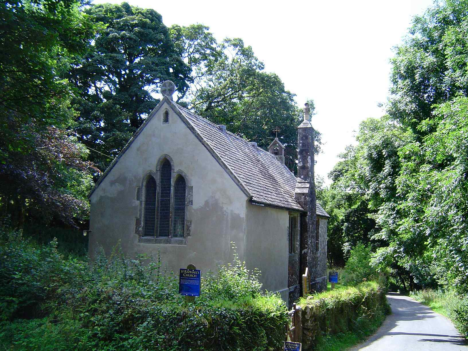
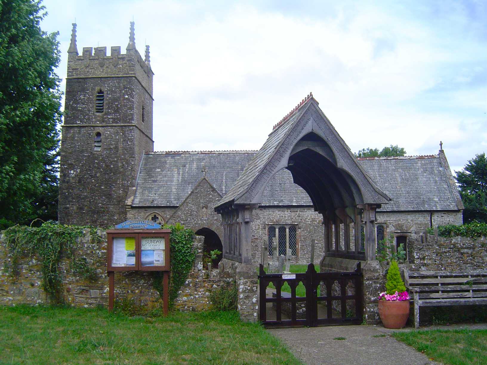
St Raphael
Probably means to a nearby bend in the river.
St James the Less
Literally household. Used interchangeably with OE hid - a hide of land - it later came to denote a measure of land which could support a household.
All Saints
Hun's enclosure or Hun's hemmed-in land.
St Mary Magdalene
Hun's wood or honey wood.
St Mary the Virgin
Hoc(c)'s homestead or village or hemmed-in land.
St Mary the Virgin
Small wood or grove
St Andrew
Originally the pre-English name of the river on which the village is situated.
St John the Baptist
Cyneweard's wood or clearing.
St Mary
Centel's grove
St Thomas
Possibly district fortification or border fortification. Alternatively Centel's fortification.

All Saints
Farm beside the Kenn

The Holy Evangelist Proprietary Chapel
Farm of Cwyldhere's people
St Giles
Cynehelm's settlement
St Edmund King & Martyr
St Mary
Spring where water cress grows
St James
Royal manor beside the Nymet

St Michael
King's farm beside the Teign
St James the Less
Land chartered to King Aethelwulf in 846
St Thomas of Canterbury
The king's weir
St John
Knoll - a small hill.
St Boniface Proprietary Chapel
Knoll - a small hill.
St Peter
Cnut's stone
St James
Eadwulf's woodland clearing
St Ida
Uncertain. Possibly an old river-name of pre-English origin.
St Mary the Virgin
Uncertain. Possibly Giedda's ford or perhaps song ford.

Holy Trinity
Aelfred's combe
St Peter
Aelfred's combe
St Philip & St James
Aelfred's combe

St Michael
Ielfstan's farm
All Saints Chapel
St John's shrine or holy place
St John the Baptist
St John's shrine or holy place

St Petroc
Inwar's woodland clearing
St Andrew
Ipela's fold
St John the Evangelist
St James
Holy place of St James

St Mary the Virgin
St Peter
Lamb-stream farm or settlement or loam-stream farm or settlement.
Holy Trinity
Perhaps long hill. Alternatively it may be OCo lann church with an unknown second element.
St Paul
St Ke's or St Cai's church site (old British)

St Matthew

St Andrew
Long Ford
All Saints
Tall tree.
St Thomas of Canterbury
Uncertain. Hlappa's ford or perhaps lapwing ford.
St Matthew
Woodland clearing
St John the Baptist

St Peter
Bright stream within the land of the Trenchards
St Mary
Farm beside the Lew river

St Giles
Smaller settlement beside the Torridge
St Swithun
Little hemmed in land
St Margaret and St Andrew
Little hemmed in land near Exmouth

St John the Baptist
Haeme's farm
St Michael & All Angels
Lod's spring
All Saints
Brioc's enclosure
St Michael & All Angels
Locc's grove.
St Michael & All Angels
Locc's hill-slope.

St James
Uncertain. Cottage(s) at Luhha's place cottage(s) connected with Luhha or cottage(s) of Luhha's people.
St Helen
Norse for Puffin island
St Mary
Luffa's pit
St John the Baptist
Leofgiest's clearing
St John the Evangelist
St Petrock
Ford on river Lyd
Nativity of the Blessed Virgin
Leofwine's farm
St John the Baptist
Mouth of the Lyn
St Mary the Virgin
Farm beside the Lyn

All Saints
Uncertain. Maerla's hill or perhaps gentian hill.
St Thomas the Apostle
Breast shaped hill

St Winifred
Settlement held communally

St Mary
Marian's meadow. Marian might be the Celtic saint Morwenna.
St John the Baptist
Hill where gentian grows
St Martin
Rocky spur belonging to Matta's people
St Michael & All Angels
Boundary wood. It is on the boundary between the Braunton and Shirwell Hundreds.
St Mary
Named after the River Tavy with the later incorporation of St. Mary from the dedication of the church.
St Mary the Virgin
St. Mary's place.

St Peter
Lively stream
St Michael & All Angels
Junction of rivers
St John the Baptist
Fortified place
All Saints
Pool farm or settlement

St John the Baptist
Bad clearing i.e. probably infertile.
St Luke
Possibly mill in the wood or ber meaning earthwork
St Constantine
Middle farm owned by The Abbot of Tavistock
Holy Spirit
Mill town in the valley
Holy Trinity
Middle farm held by the Albarmarla family
St George
Fortified meeting place - moot hill
St Mary
Uncertain.
St George
The monks woodland clearing
All Saints
Monks estate beside the river Okement
St Mary
Great wood owned by the Bishop of Exeter
St George
Bathing-place in marshy ground
All Saints
Moor wood or clearing
St Andrew
Moor farm settlement
St Mary
Hill spur called Mort or the stump
St Michael
Old fortification infested with mice

St John the Baptist
Row of houses beside the Exe

Beacon Church

St John the Baptist
New settlement
Holy Cross
Manor held by William de Ferrers in 1306
St Luke
Settlement beside the pebble ford
St Cyr & St Julitta
Settlement dedicated to St Cyr
St Petrock
Settlement dedicated to St Petrock

St Thomas a Becket
Manor held by Henry de Tracy in 1242
St John the Baptist
Named after the River Bovey. North to distinguish from Bovey Tracey.
St Mary
Literally household. Used interchangeably with OE hid - a hide of land - it later came to denote a measure of land which could support a household. North to distinguish from South Huish.
St Thomas
Keyham derives from an old Celtic word - Keame
All Saints
Farm or settlement with an uncertain specific.
St Peter
North settlement beside the Taw
St Margaret
North village
St Giles
Northern woodland clearing
St Thomas of Canterbury
Bright stream

St Bartholomew
Sacred grove owned by Roland
St George
Sacred grove dedicated to St George
St Peter
St Mary the Virgin
Offa's spring
St Bartholomew
Wocga's spring - East
West Ogwell
Wocga's spring - West
All Saints
Farmstead beside the Okement
St James
Farmstead beside the Okement
Oldridge - 405
St Thomas
Church of the Good Shepherd
Probably derives from a stone navigation marker on the Plym

St Michael & All Angels
Farm beside the Otter river
St Mary the Virgin
Church beside the Otter river
Christ Church
Farm connected with Paega
St Andrew
Farm connected with Paega
St Boniface
Farm connected with Paega
St John the Baptist
Farm connected with Paega
St Paul Preston
Farm connected with Paega
St Pancras
St Pancras's specialised farm
St James
Paddock homestead or village or hemmed-in land

Christ Church
Enclosure valley
St Petrock
Enclosure valley
St John the Evangelist
Modern settlement
St Mary the Virgin
Paie's high fortification
St Pancras
St Peter
Named after the River Tavy. The church is dedicated to the St. Peter.
St Peter
Pool land. Peter from dedication of the church.
St Petroc
Holy place of St Petroc
St Petrock
Peatta's farm.

St Mary the Virgin
Creek farm or settlement
Hall Church
Pin shaped hill spur
St Michael & All Angels
Pin shaped hill spur
Emmanuel
Mouth of the Plym
St Andrew
Mouth of the Plym

St Gabriel
Mouth of the Plym
St Jude
Mouth of the Plym
St Matthias
Mouth of the Plym

St Peter
Mouth of the Plym
St Simon
Mouth of the Plym
St Mary Blessed Virgin
Plum tree farm
St Maurice
Plum tree farm area dedicated to St Maurice

St Mary & All Saints
Outlying plum tree farm

St John the Baptist
Plum tree
St Mary the Virgin
Possibly Pulta's moor, or pool by the large house
St Luke
Maybe Possa's camp.

St Gabriel
Bridge of the post road
St Michael & All Angels
Bag shaped hill
St Clement Bishop & Martyr
Promontory on hemmed in marshy land
St Michael & All Angels
Modern settlement dedicated to prince of Wales
St Thomas a Becket
farm or settlement connected with Put(t)a.

St Stephen
Putta's ford
St Swithun
Enclosure infested with gnats
All Saints
Ford suitable for riding
St Mary the Virgin
Place at the red tree
St Peter the Poor Fisherman
Outlying farm of the Revel family
St Mary the Virgin
Row of houses.
All Hallows
Reedy moor
St Peter
Rough hill
St Mary with St Andrew
Rook grove
St Rumon
Woodland clearing of church of St Rumon
St Peter ad Vincula
Ash-tree. It was held by the Ralph family in the 12th century.
Holy Trinity
Salt valley
St Mary & St Peter
The king's salt valley
St Andrew
Sandy ford held by Courtenay family
St John the Baptist
Sandy ford held by Peverell family
St Mary
Sandy ford held by Spiney family
St Swithun
Sandy ford
St Peter
Robber's woodland clearing
St Gregory
Sea farm
St Nicholas Ringmore
Shal's hill
St Peter
Shal's hill
St Edward
Small wood belonging to Plympton priory
St Michael
Grove where the poles are obtained

St Leonard
Craggy tor resembling a bar
St Lawrence
A place to wash sheep
St James the Greater
Shelf valley
St Martin
Bright or clear ford.
St George the Martyr
Ford over the busy stream

St John the Baptist
Sheep enclosure
St Peter
The bright or clear spring or stream.
St Swithun
Brook haunted by an evil spirit or elves brook

St Michael
Steep slope
St Giles & St Peter
Fortified place beside the river Sid
St Peter
Ford over the Sid
All Saints
Mouth of the river Sid

St Giles & St Nicholas
Mouth of the river Sid

St Mary the Virgin
Gully ford farm or settlement

St James the Greater
Slippery (or muddy) settlement
St Thomas a Becket
Farm on a neck of land

St Petroc
Southern high place
All Saints
Middle farm or settlement
St Mary Magdalene
Farm or settlement with an uncertain specific. cf. Molland.
St Nicholas & St Cyriac
A pool
St Andrew
South settlement beside the Taw
St Mary
The willow tree
St Lawrence
Southern woodland clearing
Holy Spirit

St Michael & All Angels
South farm or settlement
All Saints
Stream where brushwood grows
St Michael
Brushwood farm or settlement.
St Giles
Originally known as St. Giles chapel and parish.
St Mary the Virgin
Church dedicated to St Mary
St Paul
Derives from a cross erected by monks at foor of the ferry
St Paul de Leon
Settlement beside the ford marked by posts
St Paul
Steep hill

St Marys Chapel
Steep hill
St Michael & All Angels
Outlying farm's or settlement's land

St Mary the Virgin
Tree stump clearing held by the Engles family

St Mary the Virgin
Tree stump clearing held by the Pomeroy family
St Mary Magdalene
Farm held by canons of Exeter monastery
St Andrew with St Luke
Dairy farm or manor held by the de Albarmarla family

St Peter
Dairy farm or manor held by the Flemeng family
St Gabriel
Settlement dedicated to St Gabriel
St Bartholomew
Outlying farm or settlement. It was held by the Redvers or Riveres family - the first earls of Devon - in the 12th century.
St Andrew
Outlying settlement in the district containing ten hides
St Michael & All Angels
Outlying settlement in the South Hams

St Paul
Originally a stone house
St Margaret
Woodland clearing for keeping a horse herd
St John the Baptist
Stony ford
St Michael
Place on the old track
St Andrew
Sutta's valley

St John the Evangelist
Southern town beside the Plym
Holy Name
Valley of the swine
St James the Apostle
Valley of the swine

St Mary
Broad enclosure. It was held by the de Albemarle family in the 13th century.

St Mary Magdalene
Possibly a nickname - toad town?
St James the Apostle
Settlement beside the Tale river
St Mary
Farm owned by the Foliot family beside the Tamar
St Eustachius
Outlying farm beside the Tavy

St Peter
Outlying farm beside the Taw

St Mary
Church beside Tatta's stream
St Peter & St Paul
Land beside the Teign held by the Gras family in the 14th century
St James the Less
Mouth of the Teign
St Margaret
Land owned by the Knights Templar

Holy Cross
Tetta's cottage or Tette's cottages
St David
Plank bridge
St Peter
Thorn-tree fortification
St Thomas of Canterbury
Farmstead beside a ford marked by a thorn tree
St Mary the Virgin
Woodland clearing by a conduit
St George
Settlement frequented by thrushes
All Saints
Holed rock
St John the Evangelist
Possibly Tibba's homestead
St Andrew
Double ford settlement - ie. confluence of Exe and Lowman
St George
Double ford settlement - ie. confluence of Exe and Lowman

St Paul
Double ford settlement - ie. confluence of Exe and Lowman

St Peter
Double ford settlement - ie. confluence of Exe and Lowman

St Margaret
Topp's hemmed in land

Holy Trinity
Rocky hill owned by the de Brione family
St John
Quay beside the rocky hill
St Luke
Quay beside the rocky hill
St Martin
Quay beside the rocky hill
St Mary Magdalen
Quay beside the rocky hill
St Matthias
Quay beside the rocky hill
All Saints
Rocky hill
St Mary
Totta's promontory

St Peter
Round hill spur
St Michael the Archangel
Place of thorns or brambles (old British)
St Peter
At the cross roads
St Mary the Virgin
Uffa's estate beside the Culm
St Peter
Ugga's hill
Church of the Good Shepherd
leigh is a clearing
St Peter
Higher up the Lowman river
St Peter & St Paul
Higher up the Lyme river
St Mary the Virgin
Higher up the Otter river
St Mary the Virgin
Held by William de Helihun
Church of our Lady
Held by the de Pyn family
St Gregory
Marshy land beside the Otter
St Mary the Virgin
Farm of people who live beside the Walkham
St John the Evagelist
Spider wood clearing

St Mary the Virgin
Washing place open land or open alluvial land.
St Peter
Probably wash ford. It was held by the Pyne family.
Holy Trinity
Weir held by the Giffard family
St Nectan
Stream valley
St Werburgh
Uncertain. The generic is fortification.
St Michael
Wemba's enclosure
All Saints
Farm or settlement connected with Aelf.
St Petrock
Steep narrow footpath
St Peter
Land granted by royal charter (Anglo Saxon)
St Mary
Free peasants farm or settlement.
St Calixtos
Hill. West to distinguish from East Down.
St Mary
Wulfraed's farm settlement
St Michael the Archangel
The west hill
St Peter
West wood or clearing
St Philip

Holy Trinity
Named after the Victorian novel by Kingsley.

St Mary
White pool or stream
St Boniface
Whippa's farm
St Andrew
White church
St Catherine
White stone
St Mary at the Cross
White ford beside the steep slope
St Chad
White woodland clearing
St Pancras
Wide valley
St Cuthbert
Wide enclosure or perhaps *Wida's enclosure.

St Edward the Confessor
Wicga's farm
St Mary the Virgin
Waste land.
All Saints
Wineca's clearing
St John the Baptist
Wether sheep ridge

St Catherine
Sheep clearing
All Saints
Willow-tree valley. It was held by the de Ralegh family in the early 14th century.
St John in the Wilderness
Willow-tree valley. It was held by the de Ralegh family in the early 14th century.

St John the Evangelist
Willow-tree valley. It was held by the de Ralegh family in the early 14th century.
St Mary the Virgin
Wolves hill.

St Pauls
Wolves hill.
St Swithun
Fort by the wood
Holy Cross
Fort by the wood
Holy Trinity
Salt worker's farm

St John the Baptist
Probably just woodland
St Mary the Virgin
Wood clearing.
St Sabinus
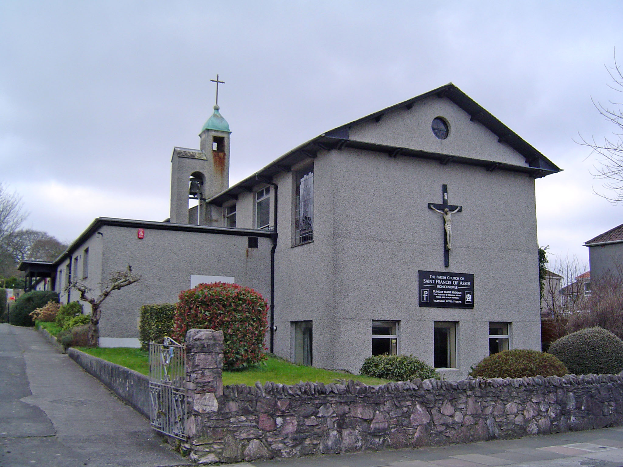
Valley with a spring
St Francis of Assisi
Probably Ulla's brook
St Mary
Wulfheard's enclosure

All Hallows
Wulfheard's enclosure
St John the Baptist
Yarty valley
St Andrew
Valley of the eagles
St Bartholomew
Farm beside the Yealm
St Paul
Elder tree ford
Holy Trinity
Ford over the Yeo
St Peter
Place at the willow belonging to the monks
Unconsecrated
Possibly valley next to the hill (do)

St Peter Revelstoke
Noss Mayo - Matthew's Nose - after Edward 1 gave the manor to Matthew Fitzjohn
St Andrew
Literally household. Used interchangeably with OE hid - a hide of land - it later came to denote a measure of land which could support a household. South to distinguish from North Huish.
St John the Baptist
Probably Hawk was the personal name of an Anglo Saxon - Hafoc’schurch. This place certainly predates Domesday.